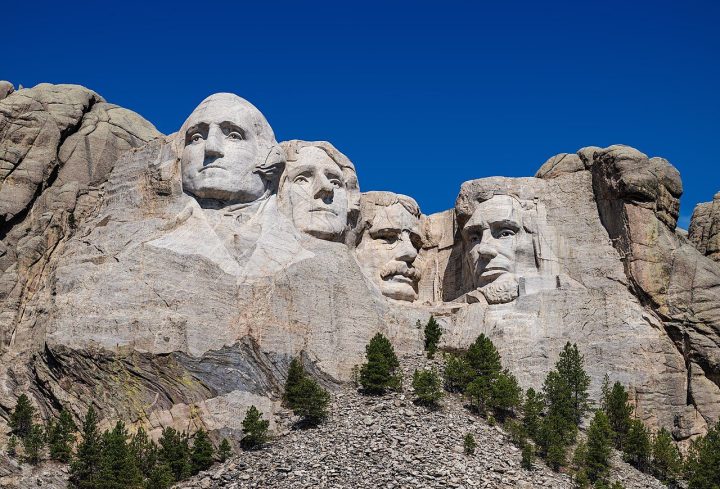
Las Vegas and Red Rock, the Valley of Fire, Zion, Bryce, Capitol Reef, Arches, Canyonlands, Mesa Verde, Monument Valley, Antelope Canyon, Lake Powell and both Grand Canyon rims.
The Grand Circle is America's greatest road trip, linking more national parks than anywhere else. From Las Vegas, see Red Rock Canyon and the Valley of Fire, then hike Zion's canyons and Bryce's hoodoos. Drive through Capitol Reef to Moab for Arches and Delicate Arch at sunset, and Canyonlands' Mesa Arch at sunrise. See the cliff dwellings of Mesa Verde and Monument Valley, then Antelope Canyon, Horseshoe Bend and Lake Powell, and end at both rims of the Grand Canyon. April–May and September–October are best.
01
STOP 1 OF 17
Las Vegas Strip
The Las Vegas Strip is a 6.8 km stretch of Las Vegas Boulevard lined with giant themed resorts and casinos. Highlights include the Bellagio fountains, replicas of Paris and Venice, and major shows and concerts. The Strip is especially dazzling at night, earning Las Vegas the nickname Entertainment Capital of the World.
02
STOP 2 OF 17
Red Rock Canyon
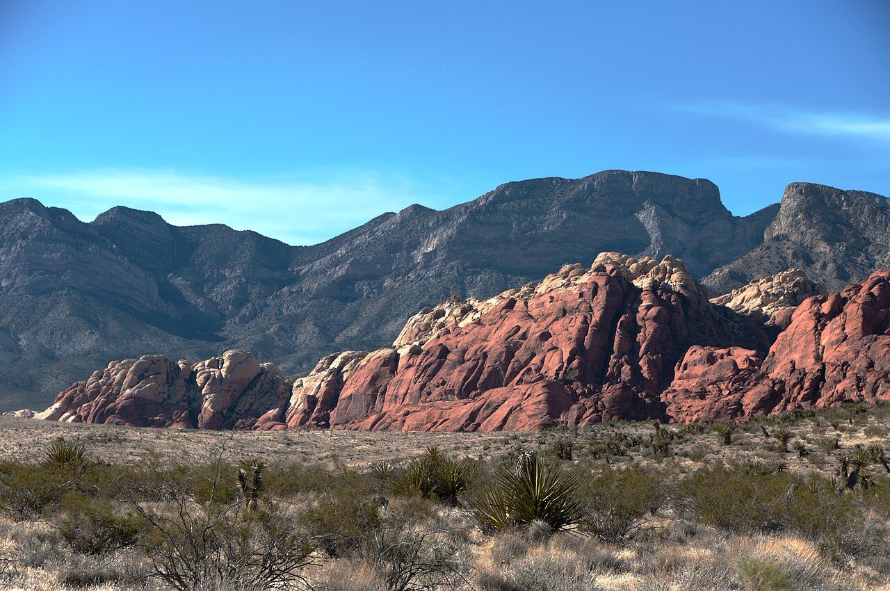
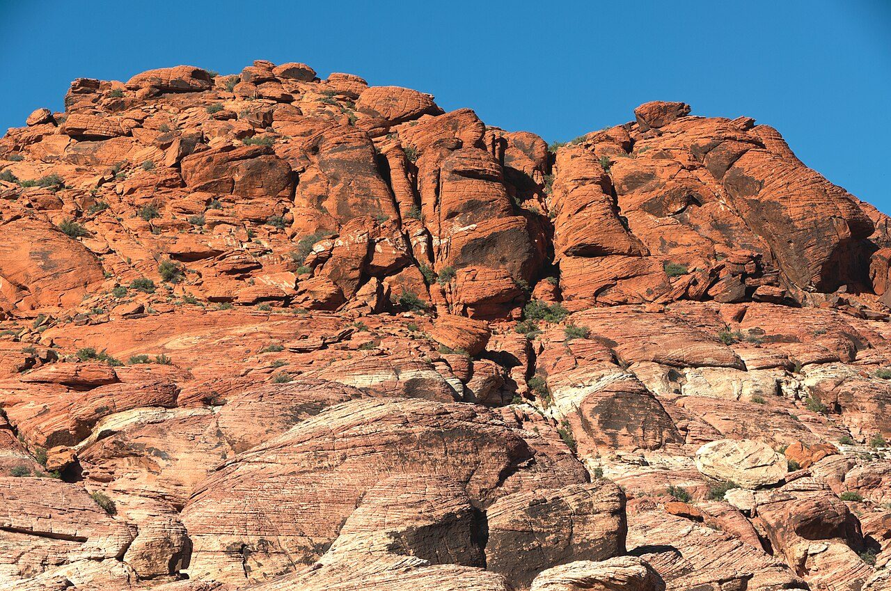
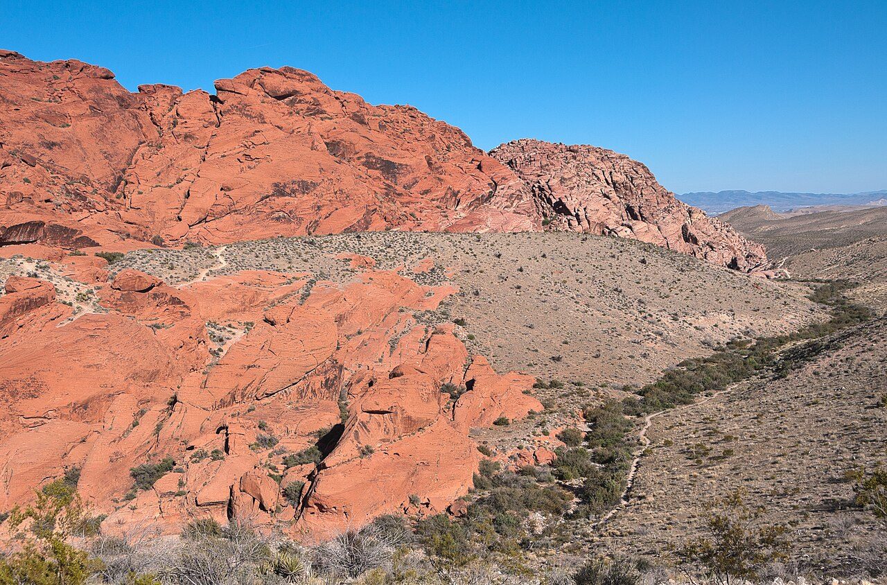
Red Rock Canyon National Conservation Area lies just 25 km west of the Las Vegas Strip. Towering red and cream sandstone cliffs and peaks form the Keystone Thrust. A 21 km scenic drive loops through the area, with hiking trails, rock climbing routes and ancient petroglyphs.
03
STOP 3 OF 17
Valley of Fire
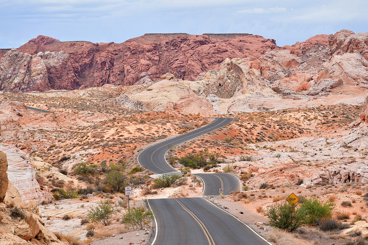
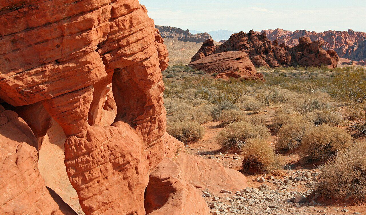
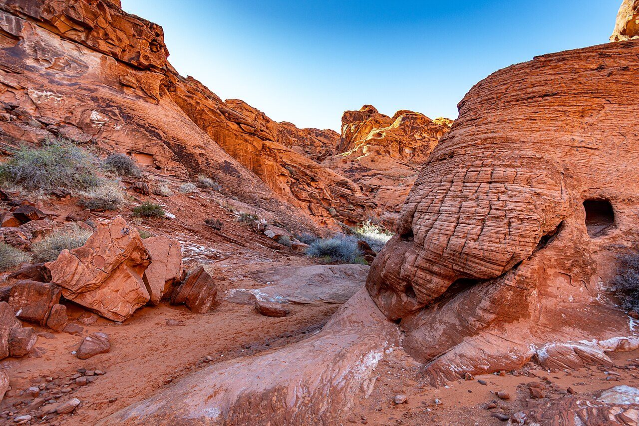
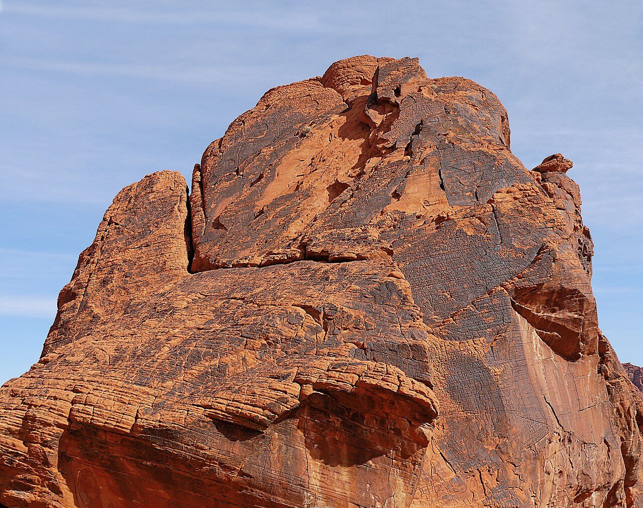
Valley of Fire State Park is Nevada's oldest state park, about an hour from Las Vegas. Its bright red Aztec sandstone formations seem to blaze in the sunlight. Highlights include Fire Wave, Elephant Rock and ancient petroglyphs at Atlatl Rock created by people over 2,000 years ago.
04
STOP 4 OF 17
Zion National Park
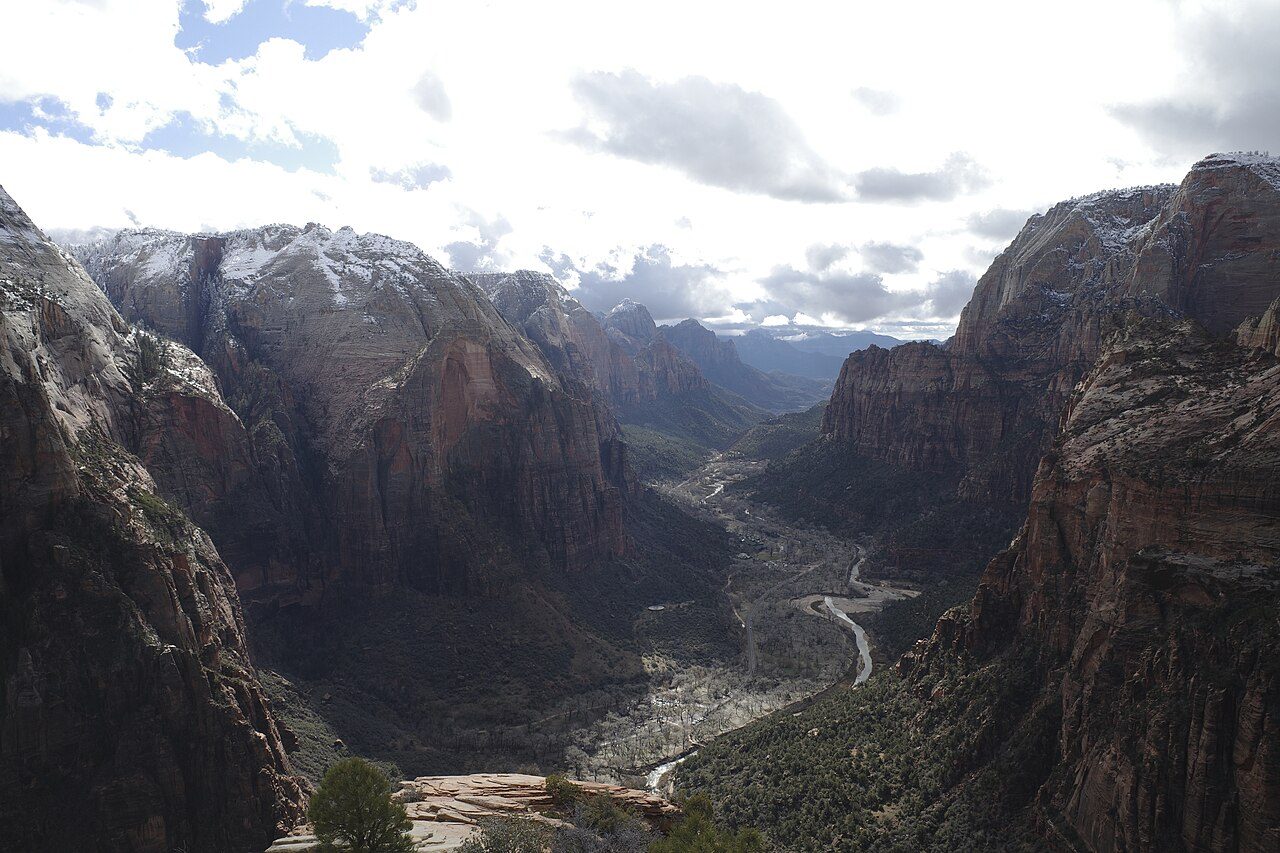
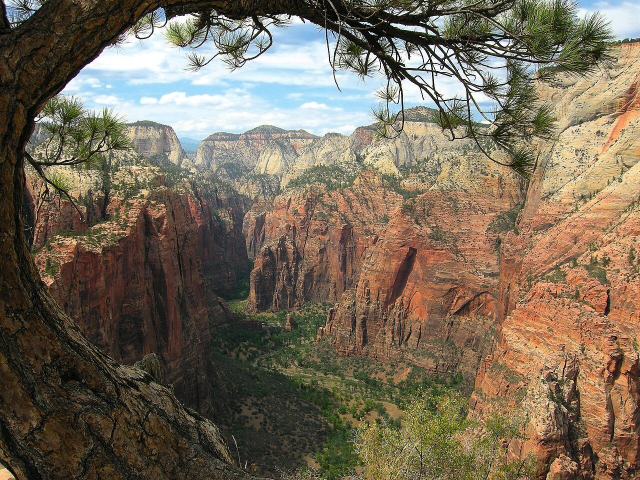
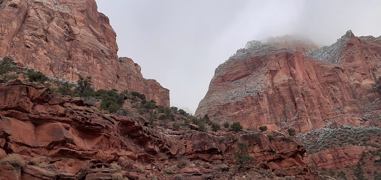
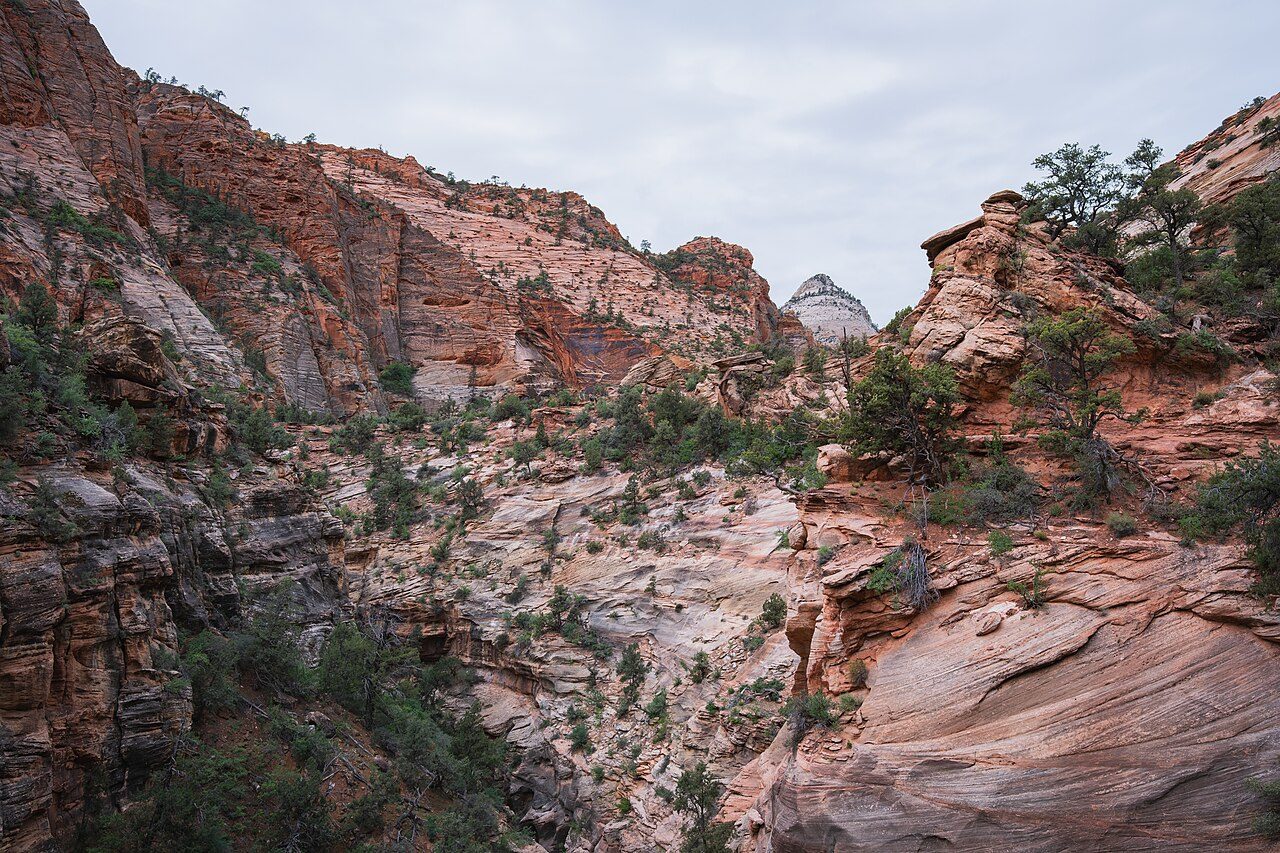
Zion National Park in southwestern Utah is known for its towering sandstone cliffs in shades of cream, pink and red. Zion Canyon was carved by the Virgin River. Famous hikes include Angels Landing, with chains along a narrow ridge, and The Narrows, where hikers wade through the river between canyon walls.
05
STOP 5 OF 17
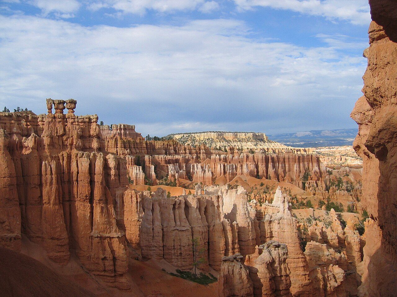
Bryce Canyon
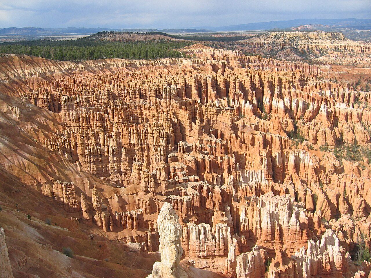
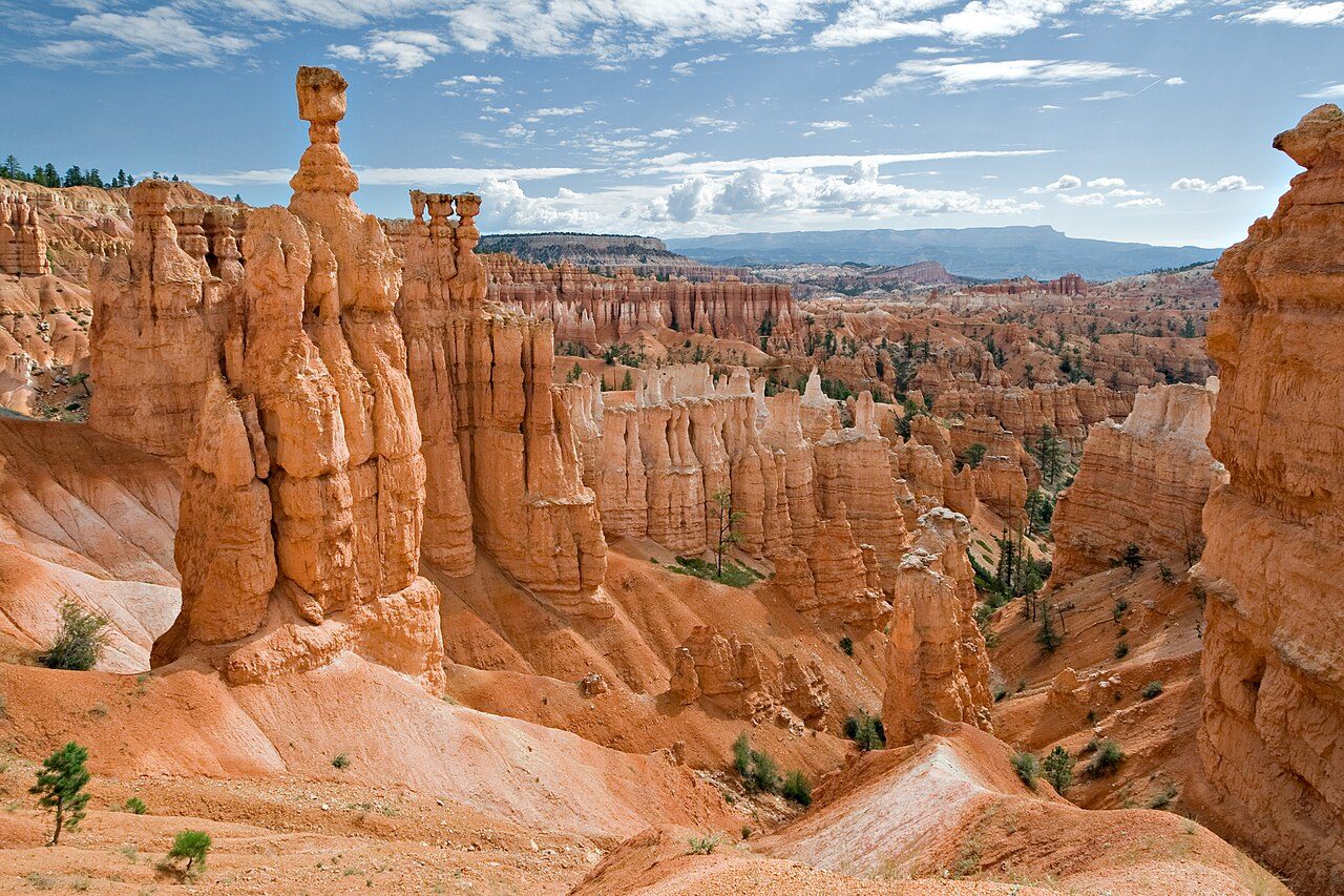
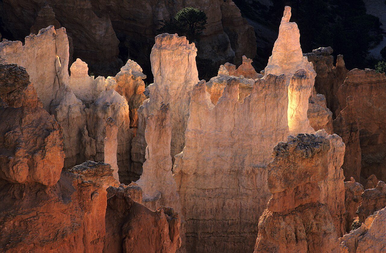
Bryce Canyon National Park in Utah is famous for its hoodoos, tall thin spires of rock formed by frost and erosion. Natural amphitheatres filled with orange, red and white formations are seen from viewpoints such as Sunrise, Sunset and Inspiration points. Trails like the Navajo Loop descend among the hoodoos.
06
STOP 6 OF 17
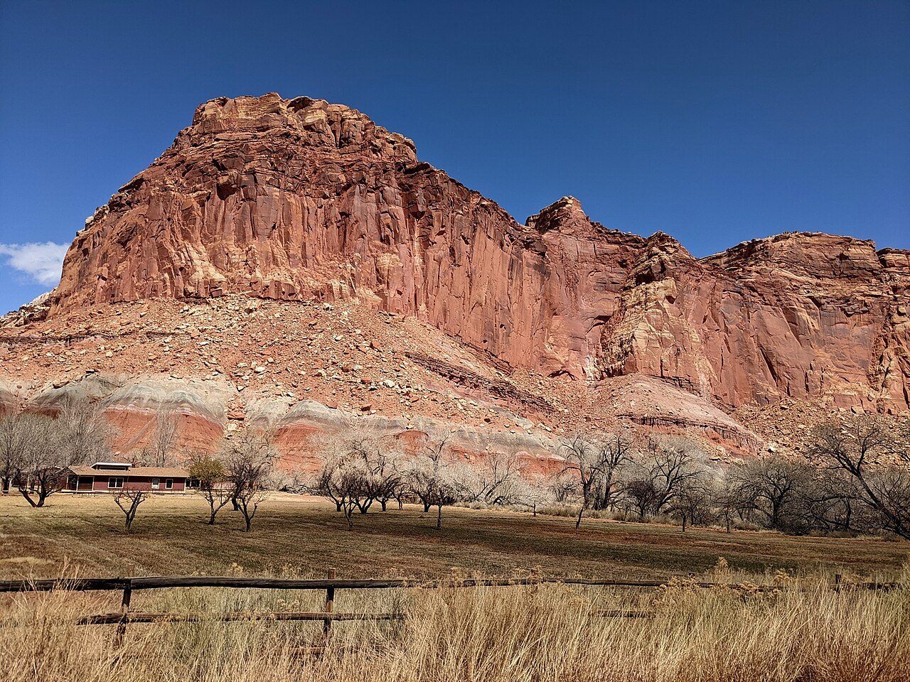
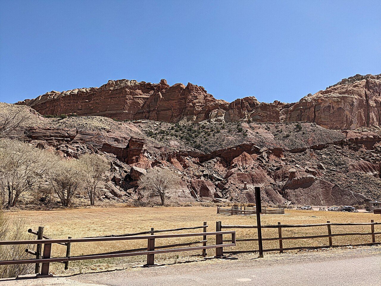
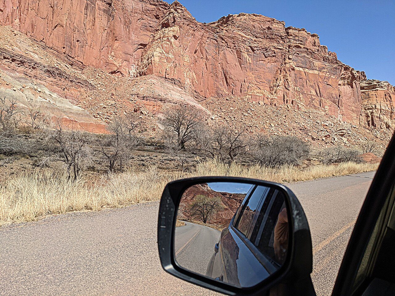
Capitol Reef National Park
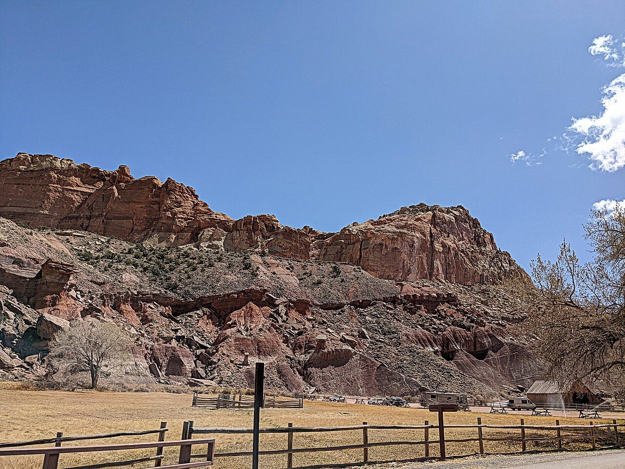
Capitol Reef National Park in south-central Utah protects the Waterpocket Fold, a 160 km wrinkle in the Earth's crust. Its colourful cliffs, domes and canyons are complemented by the historic Fruita orchards, where visitors can pick fruit in season. Petroglyphs left by the Fremont people are also found here.
07
STOP 7 OF 17
Arches National Park
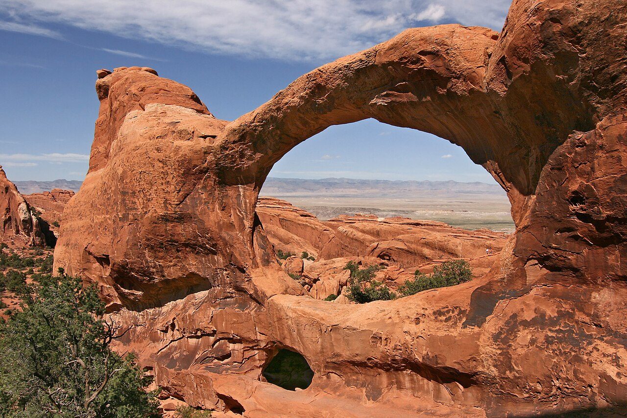
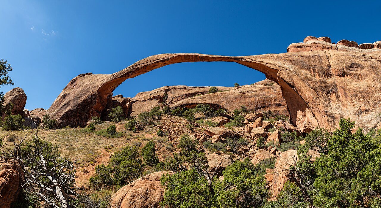
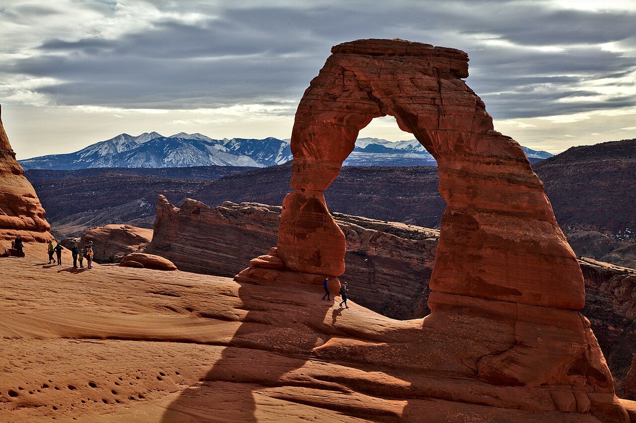
Arches National Park near Moab, Utah, contains over 2,000 natural stone arches, the highest concentration in the world. Famous formations include Delicate Arch, Landscape Arch, Double Arch and Balanced Rock. The park's red rock fins, spires and arches glow brilliantly at sunrise and sunset.
08
STOP 8 OF 17
Delicate Arch
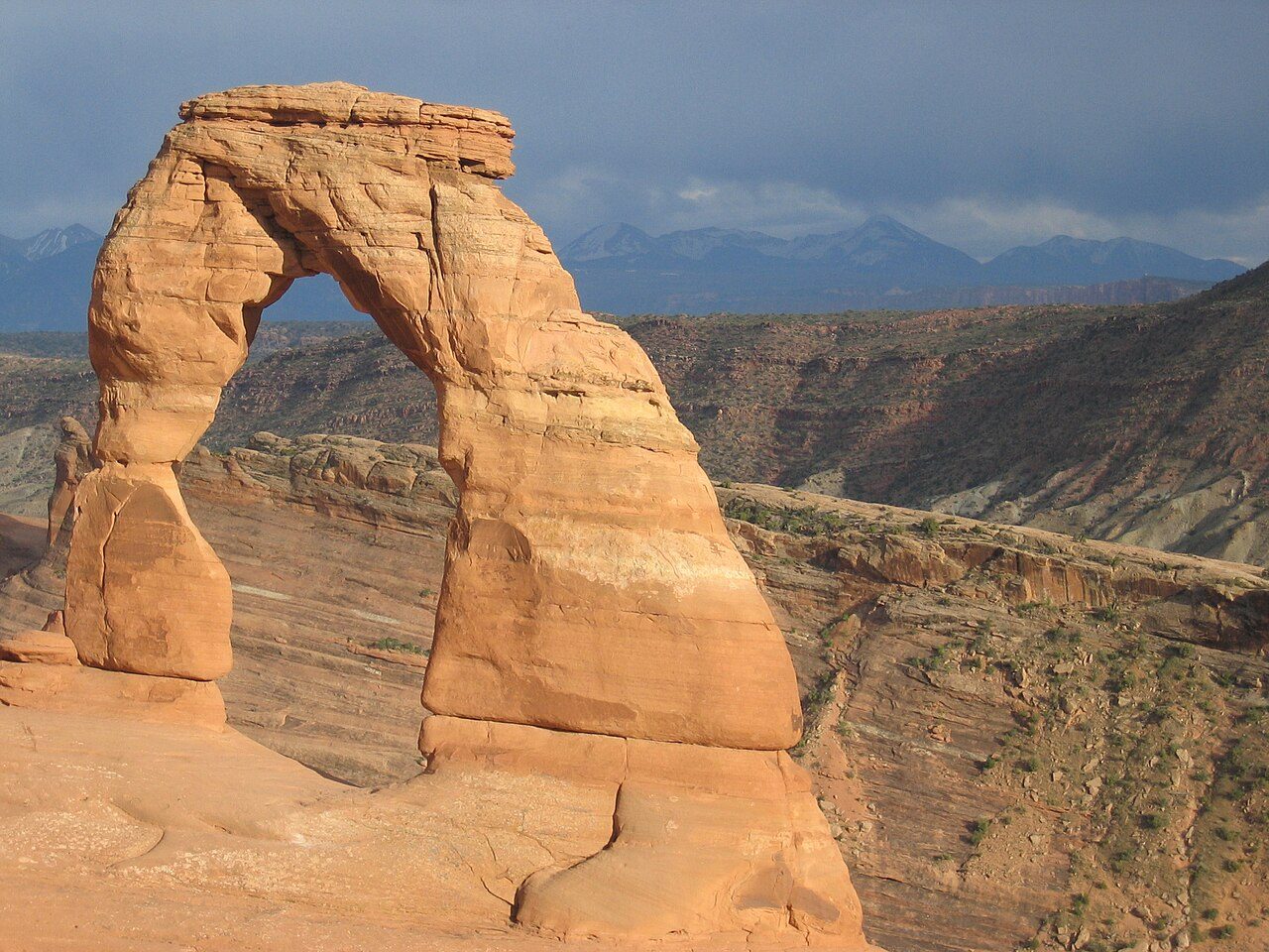
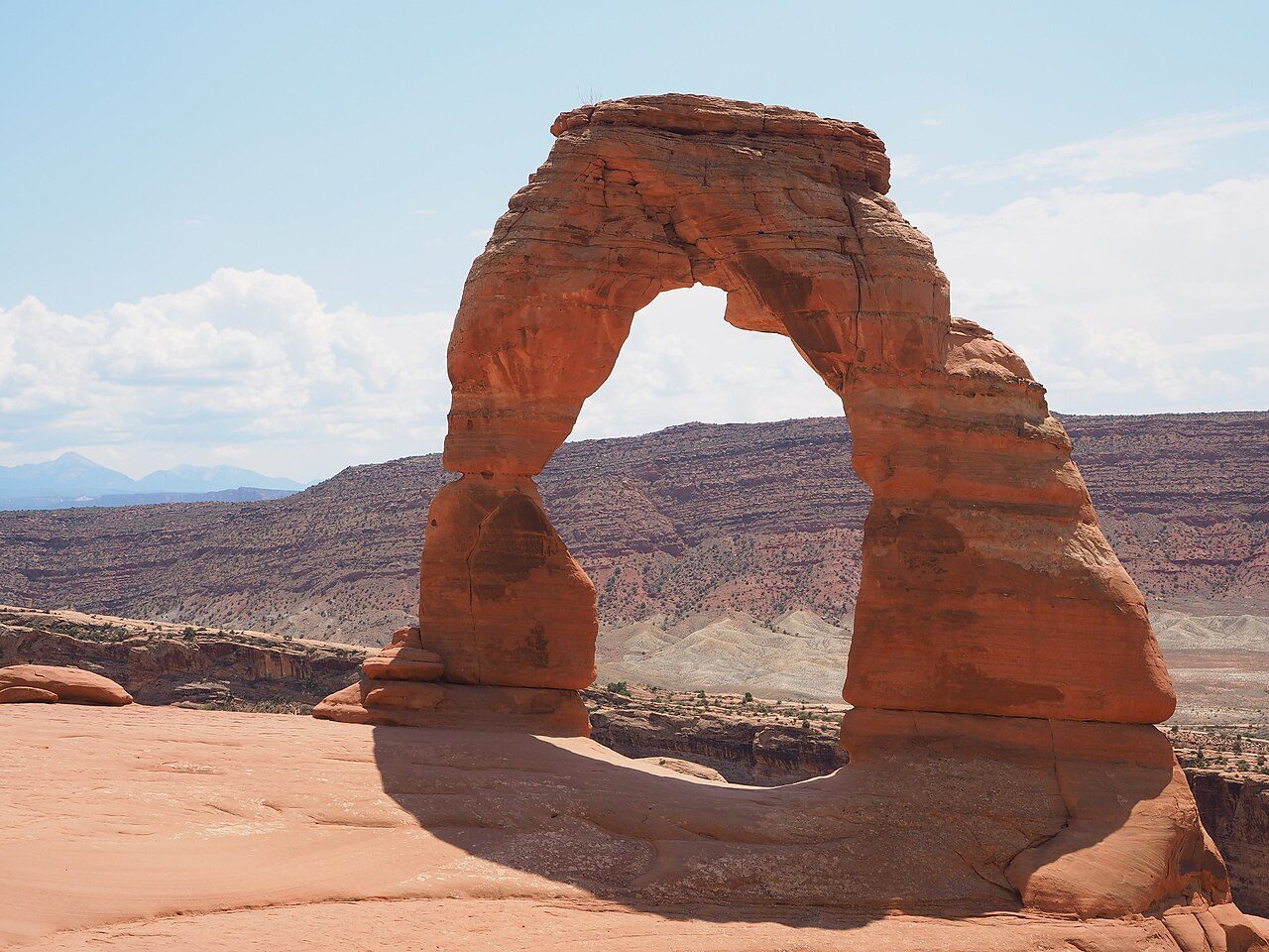
Delicate Arch is a 16-metre freestanding natural arch in Arches National Park near Moab, Utah. It is so iconic that it appears on Utah licence plates. A 4.8 km round-trip hike leads up slickrock to the arch, which glows at sunset. The park contains more than 2,000 natural stone arches.
09
STOP 9 OF 17
Canyonlands Mesa Arch
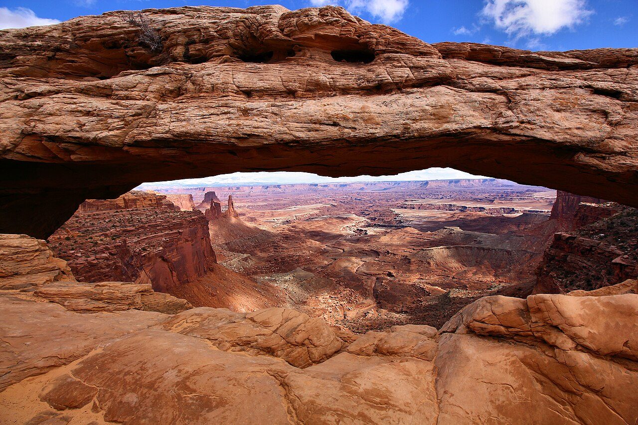
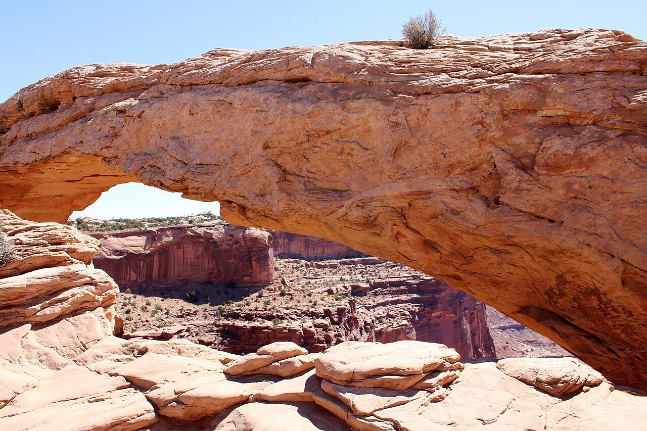
Mesa Arch in Canyonlands National Park is a natural arch perched on the edge of a cliff in the Island in the Sky district. At sunrise, the underside of the arch glows red as light reflects off the canyon below. A short loop trail leads to the arch with vast views over canyons carved by the Colorado and Green rivers.
10
STOP 10 OF 17
Dead Horse Point State Park
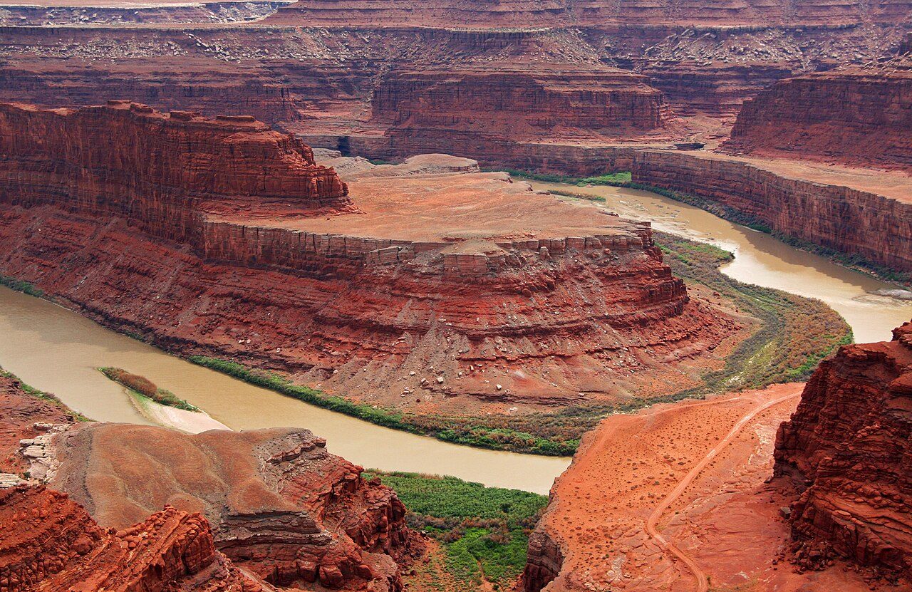
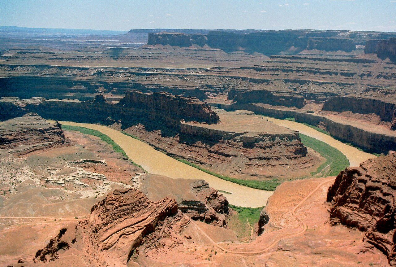
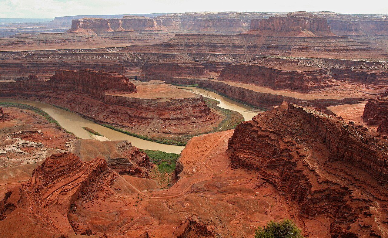
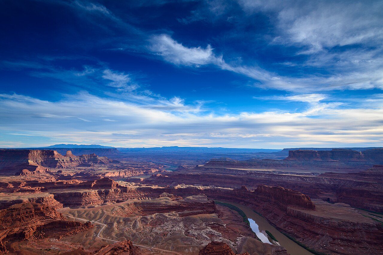
Dead Horse Point State Park near Moab offers one of the most dramatic viewpoints in the American Southwest. From a narrow mesa top, visitors look 600 metres down to a gooseneck bend of the Colorado River. The view of layered canyons is especially striking at sunrise and sunset.
11
STOP 11 OF 17
Mesa Verde National Park
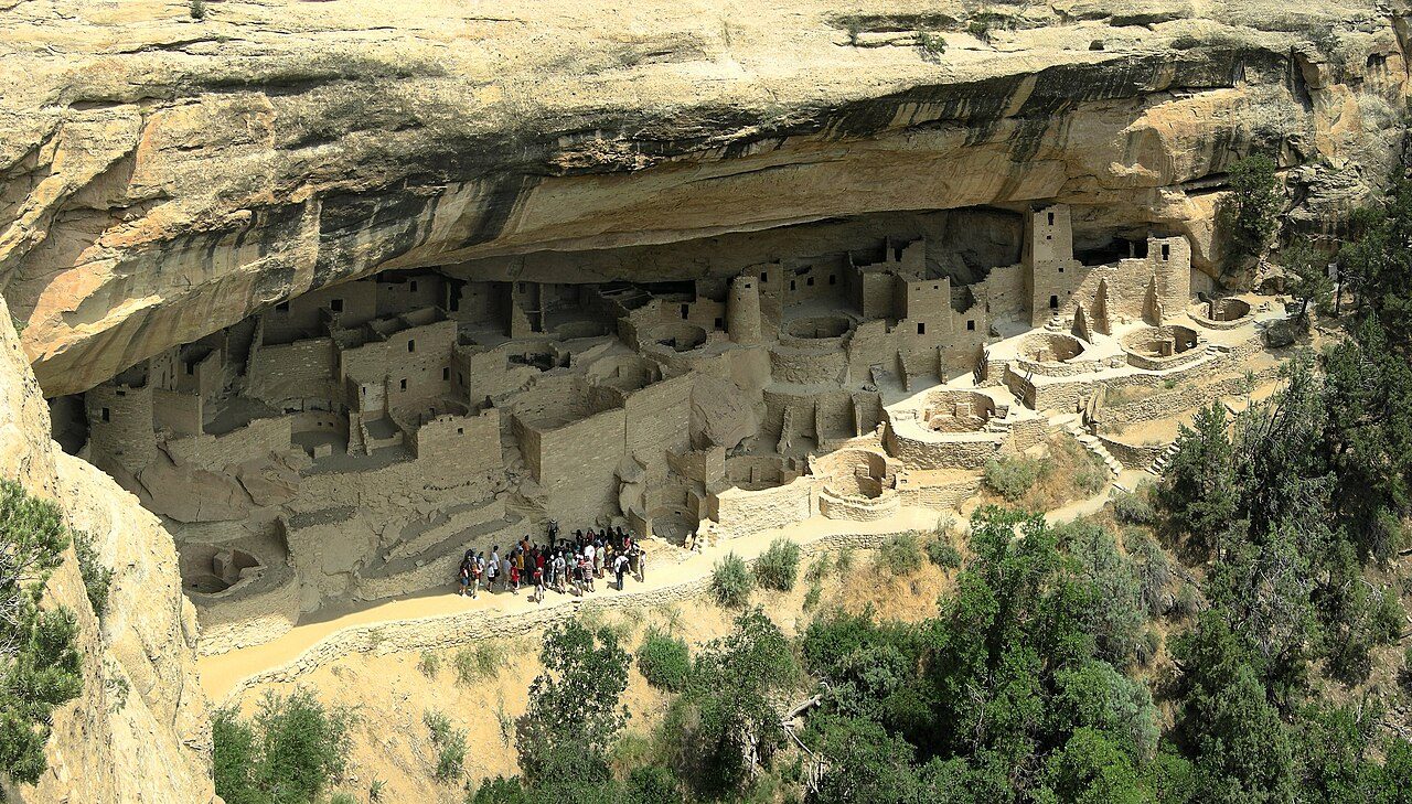
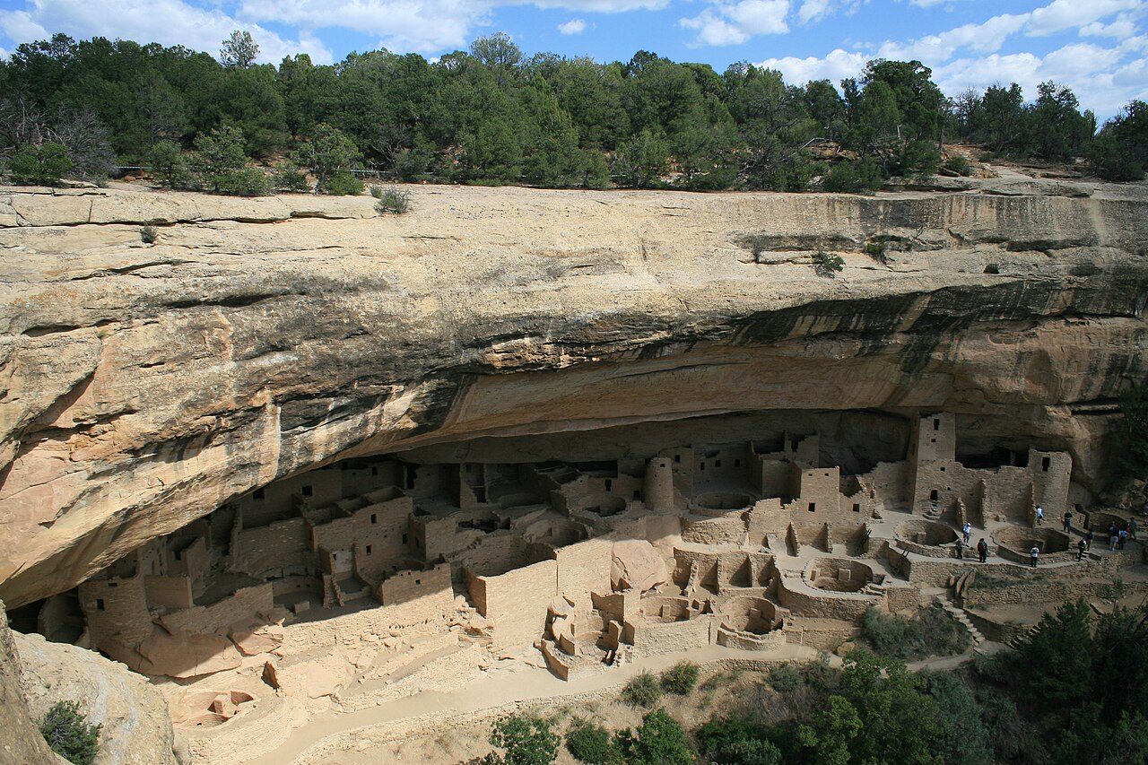
Mesa Verde National Park in Colorado protects nearly 5,000 archaeological sites, including 600 cliff dwellings built by Ancestral Puebloans. Cliff Palace, the largest cliff dwelling in North America, has about 150 rooms. It was the first cultural park in the US national park system and is a UNESCO World Heritage Site.
12
STOP 12 OF 17
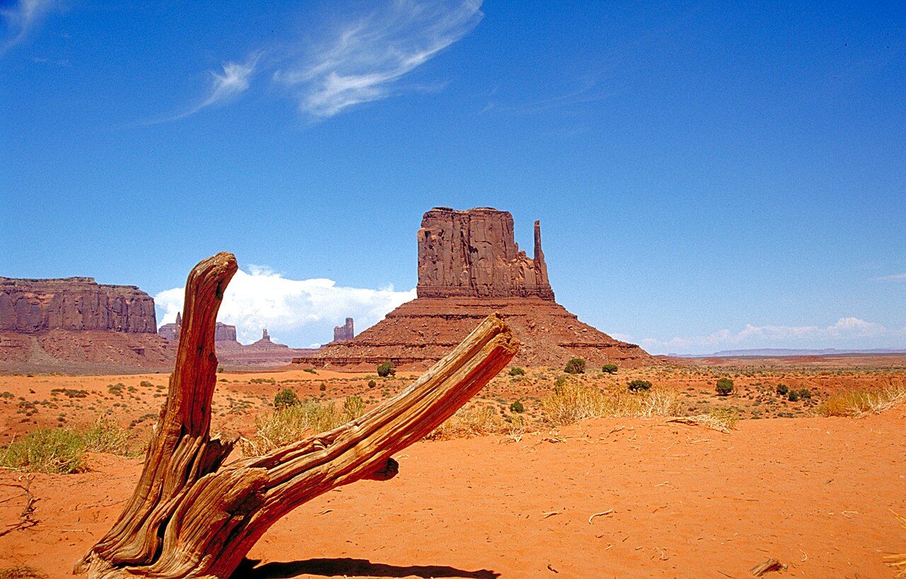
Monument Valley
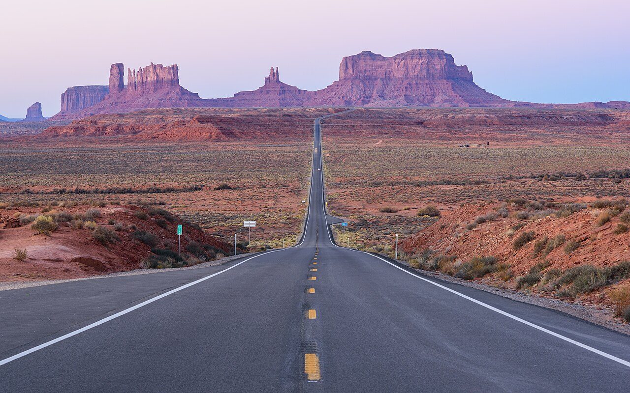
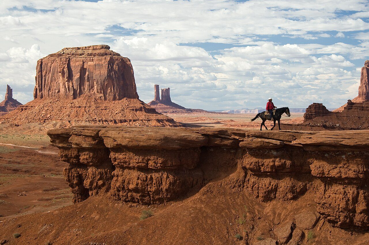
Monument Valley, on the Arizona-Utah border, is a Navajo Tribal Park known for its towering red sandstone buttes. The Mittens and Merrick Butte rise up to 300 metres above the desert floor. It has featured in countless western films. A 27 km scenic drive loops through the valley.
13
STOP 13 OF 17
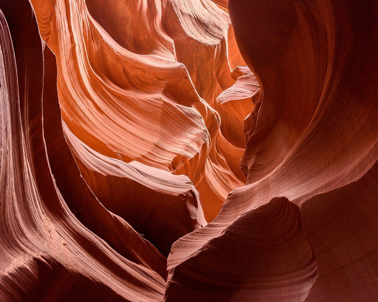
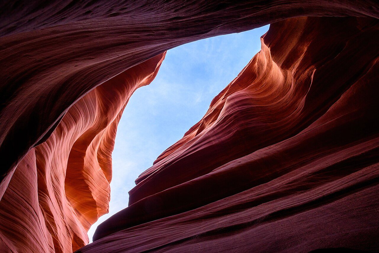
Antelope Canyon
Antelope Canyon is a slot canyon on Navajo land near Page, Arizona, famous for its smooth, wave-like sandstone walls. Upper Antelope Canyon is known for light beams that shine through openings in summer, while Lower Antelope Canyon involves stairs and narrow passages. Access is by guided Navajo tour only.
14
STOP 14 OF 17
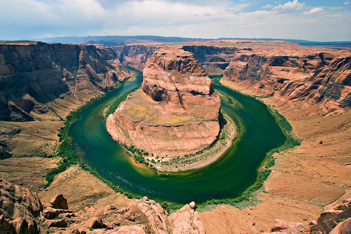
Horseshoe Bend
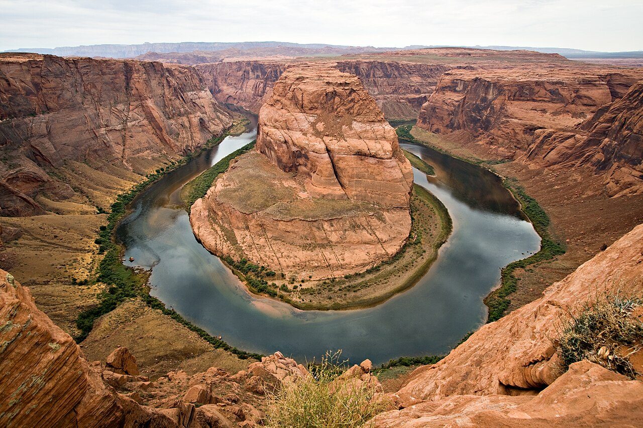
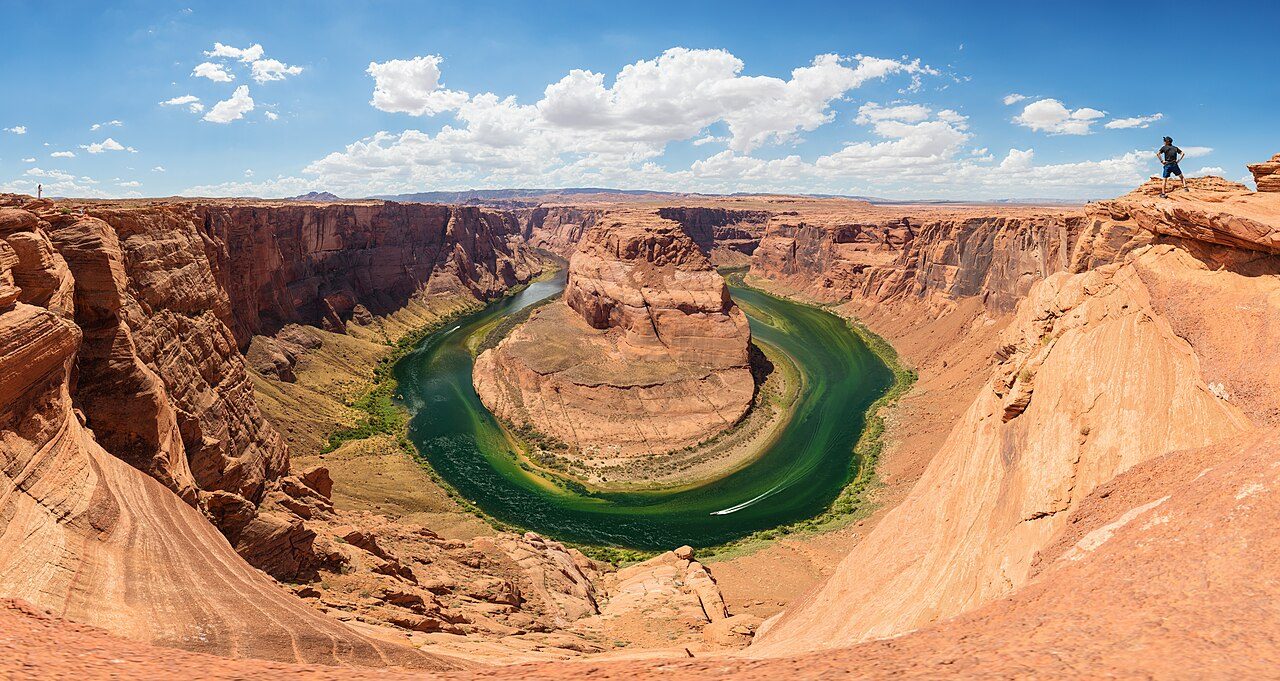
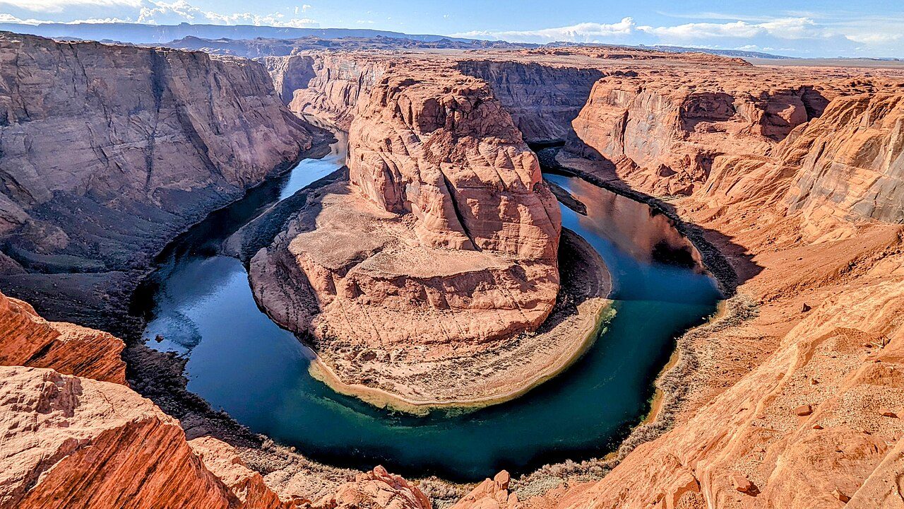
Horseshoe Bend is a dramatic horseshoe-shaped meander of the Colorado River near Page, Arizona. A short trail leads to an overlook on the cliff edge about 300 metres above the river. It is part of Glen Canyon National Recreation Area and is especially popular at sunrise and sunset.
15
STOP 15 OF 17
Lake Powell
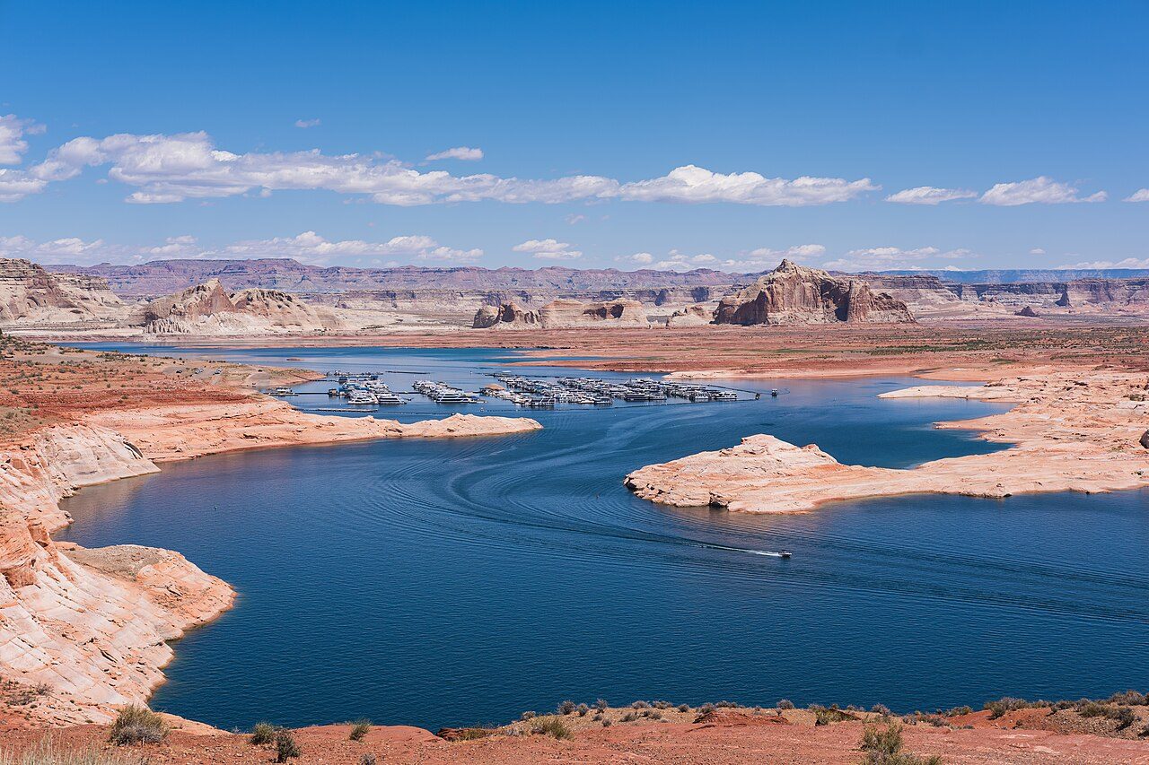
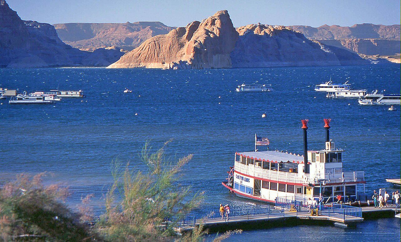
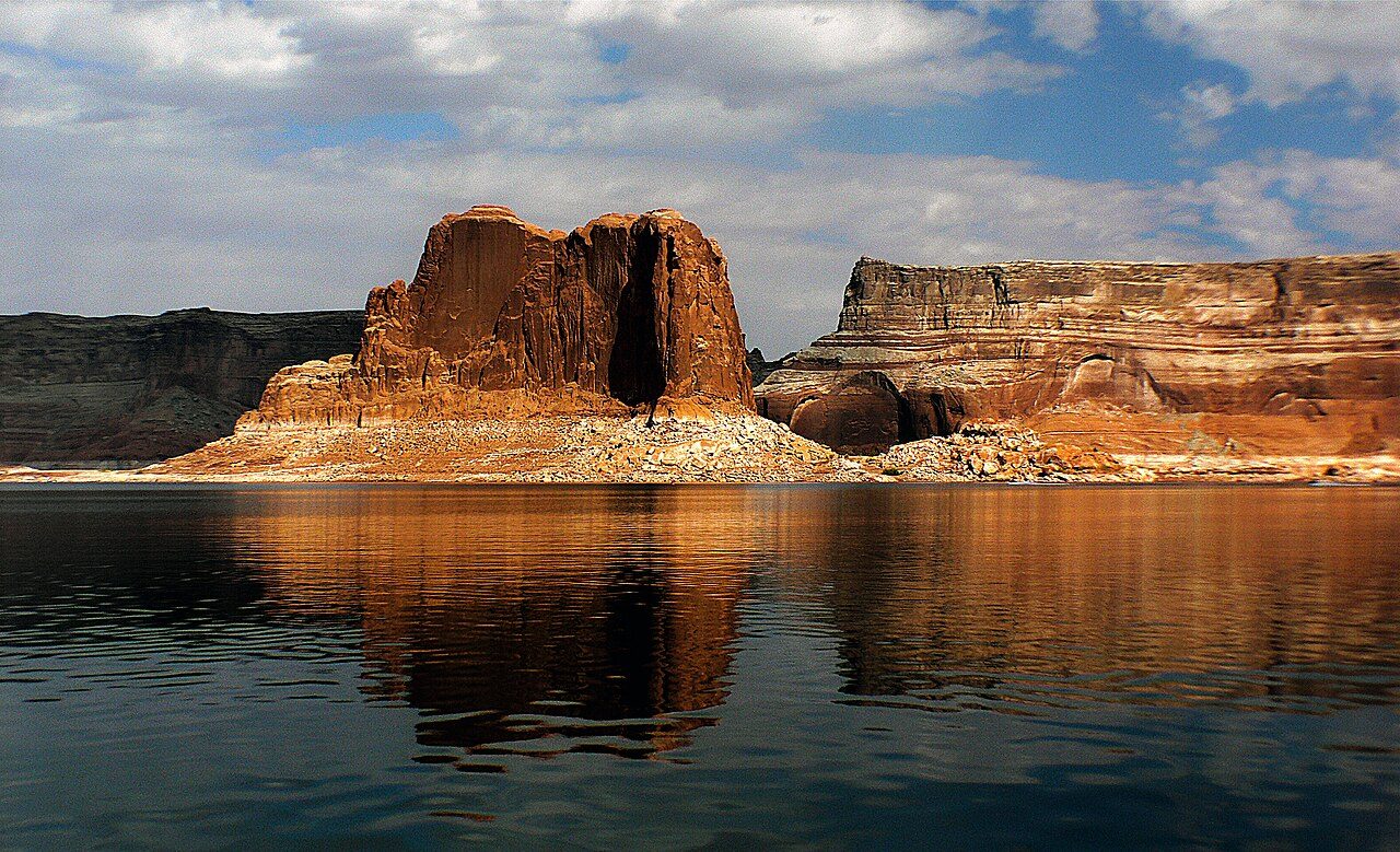
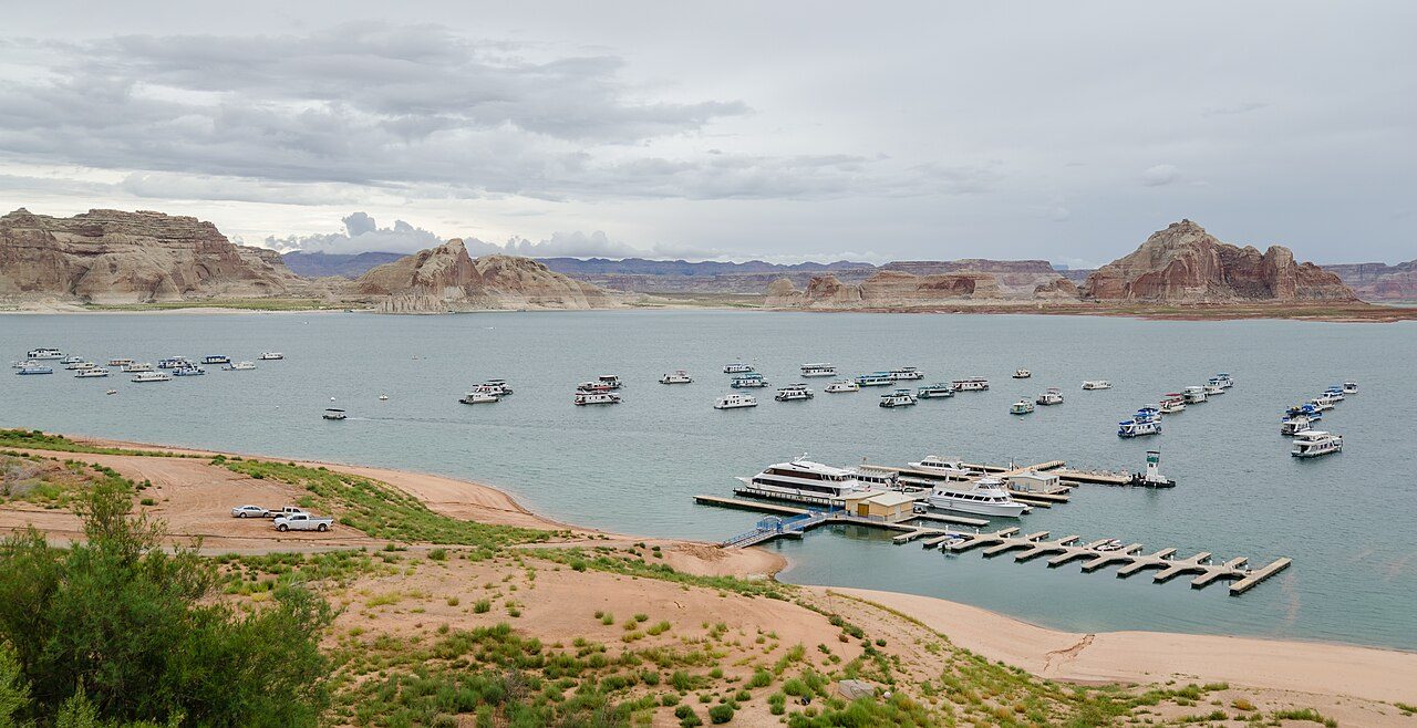
Lake Powell is a huge reservoir on the Colorado River, straddling Arizona and Utah, created by the Glen Canyon Dam in 1963. Its deep blue water winds through red rock canyons, with nearly 3,000 km of shoreline. Boating, houseboats and trips to Rainbow Bridge, a giant natural arch, are popular.
16
STOP 16 OF 17
Grand Canyon North Rim
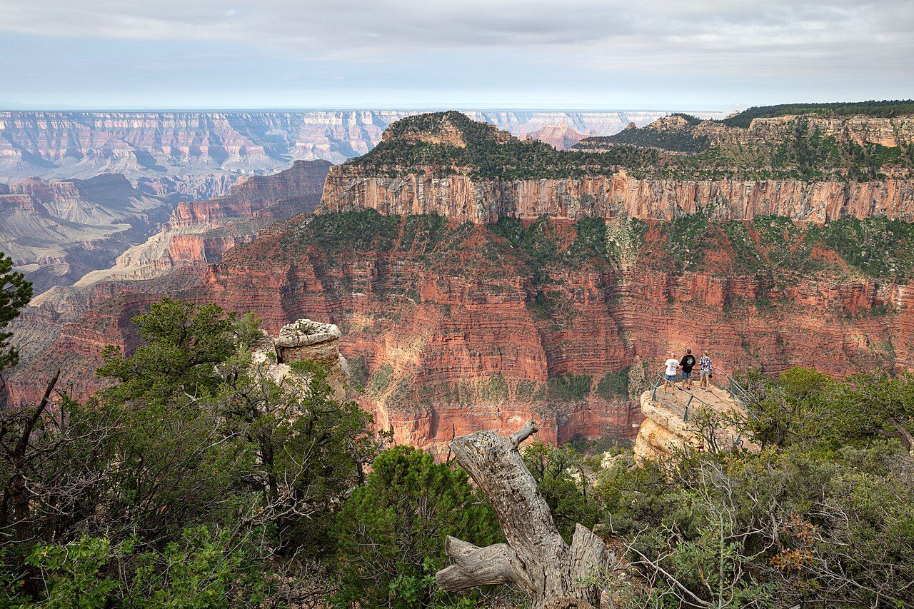
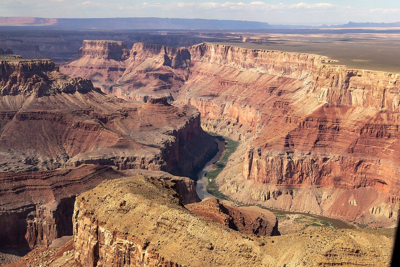
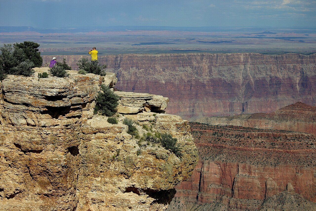
The North Rim of the Grand Canyon sits about 300 metres higher than the South Rim and receives far fewer visitors. It is open only from mid-May to mid-October. Bright Angel Point, Point Imperial and Cape Royal offer dramatic views over the canyon, surrounded by forests of aspen and pine.
17
STOP 17 OF 17 · LAST STOP
Grand Canyon South Rim
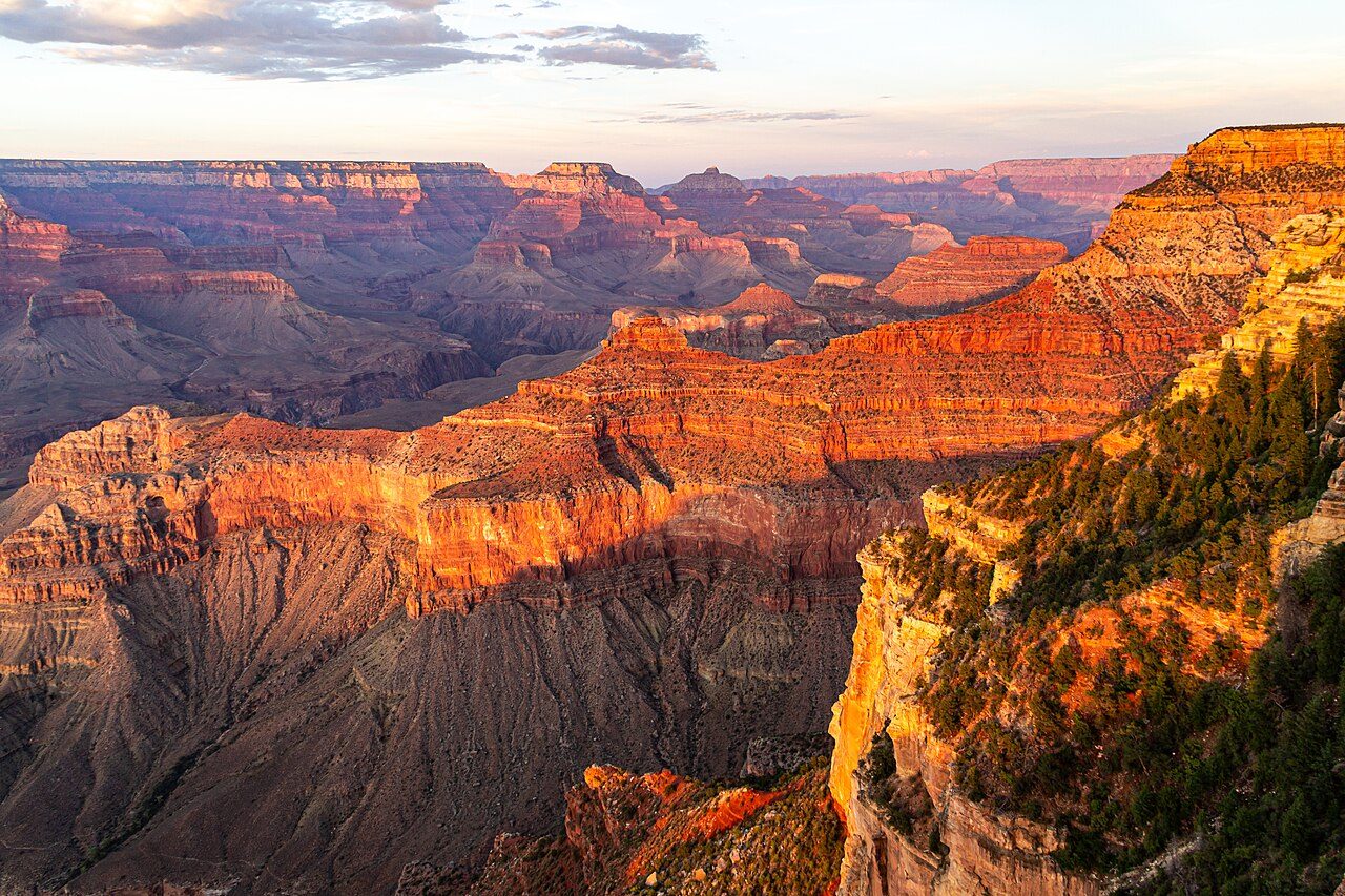
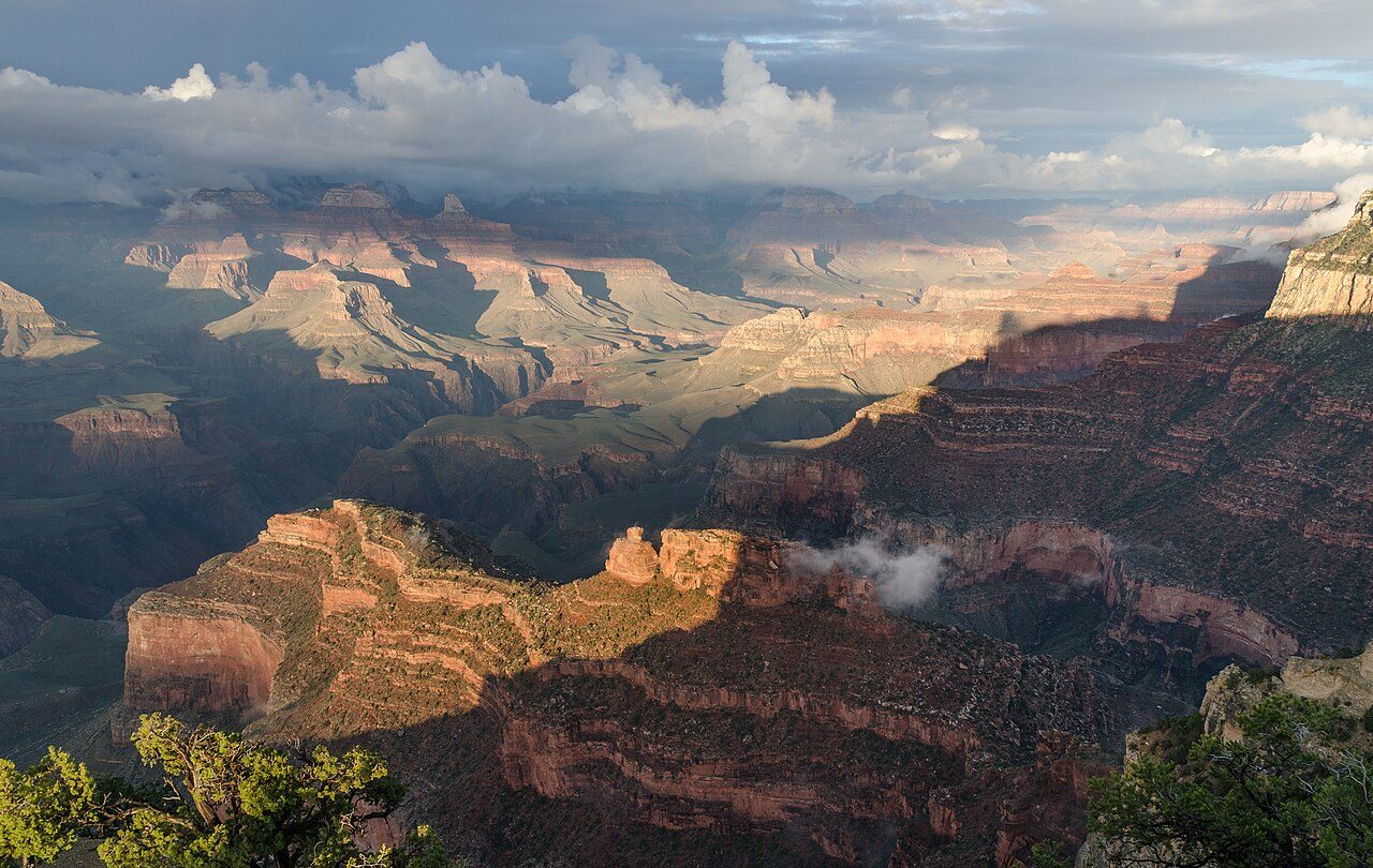
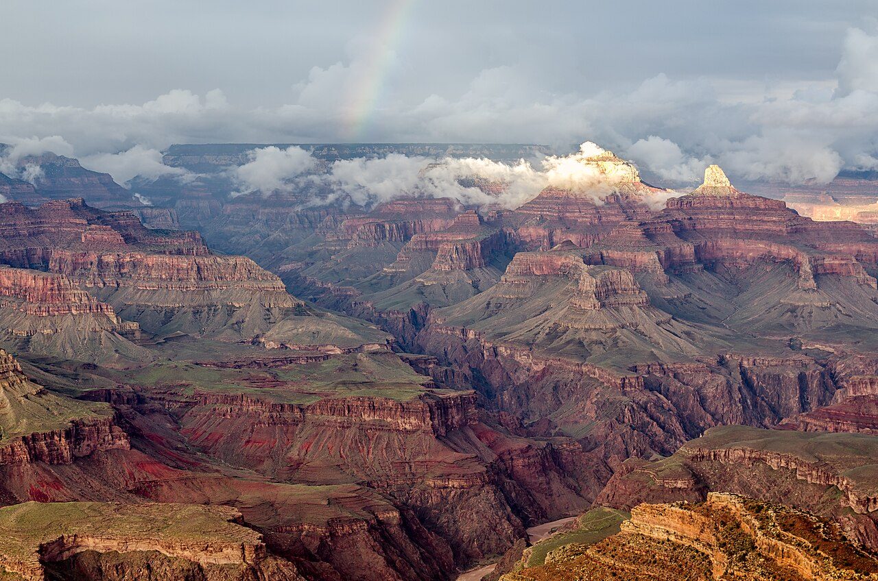
The Grand Canyon South Rim is the most visited part of Grand Canyon National Park in Arizona. The canyon, carved by the Colorado River over millions of years, is up to 29 km wide and about 1.8 km deep. Viewpoints such as Mather Point, Yavapai Point and Hopi Point reveal layered rock in shades of red and orange. It is a UNESCO World Heritage Site.
Seasons from 20 years of NASA POWER climate data.
 WaTrips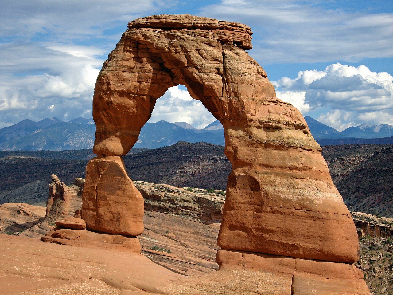

















 BikesBooking
 Localrent
 Airalo
 Tiqets