Sri Lanka's Hill Country in 6 Days: Kandy, Nuwara Eliya and Ella
6 DAYS23 placesby WaTrips
Pinnawala and Kandy, Peradeniya and the old temples, Nuwara Eliya, Horton Plains, Lipton's Seat, the Nine Arch Bridge and Ella Rock.
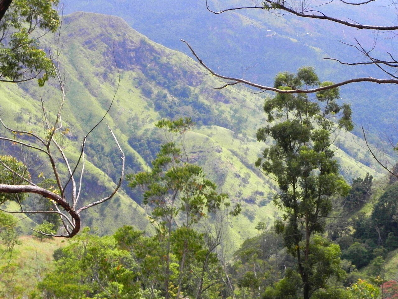
Sri Lanka's hill country is cool, green and covered in tea. Day one stops at the Pinnawala Elephant Orphanage and reaches Kandy for the evening puja at the Temple of the Sacred Tooth Relic. Day two visits the Peradeniya botanic gardens and the old temples of Gadaladeniya, Lankatilaka and Embekke. Day three climbs past Ramboda Falls to Nuwara Eliya, Little England, and day four walks Horton Plains to World's End. Days five and six are around Haputale and Ella: Lipton's Seat above the tea estates, the Nine Arch Bridge, Little Adam's Peak, Ella Rock and the falls. Take the train for at least one stretch; it's one of the world's great rail journeys.
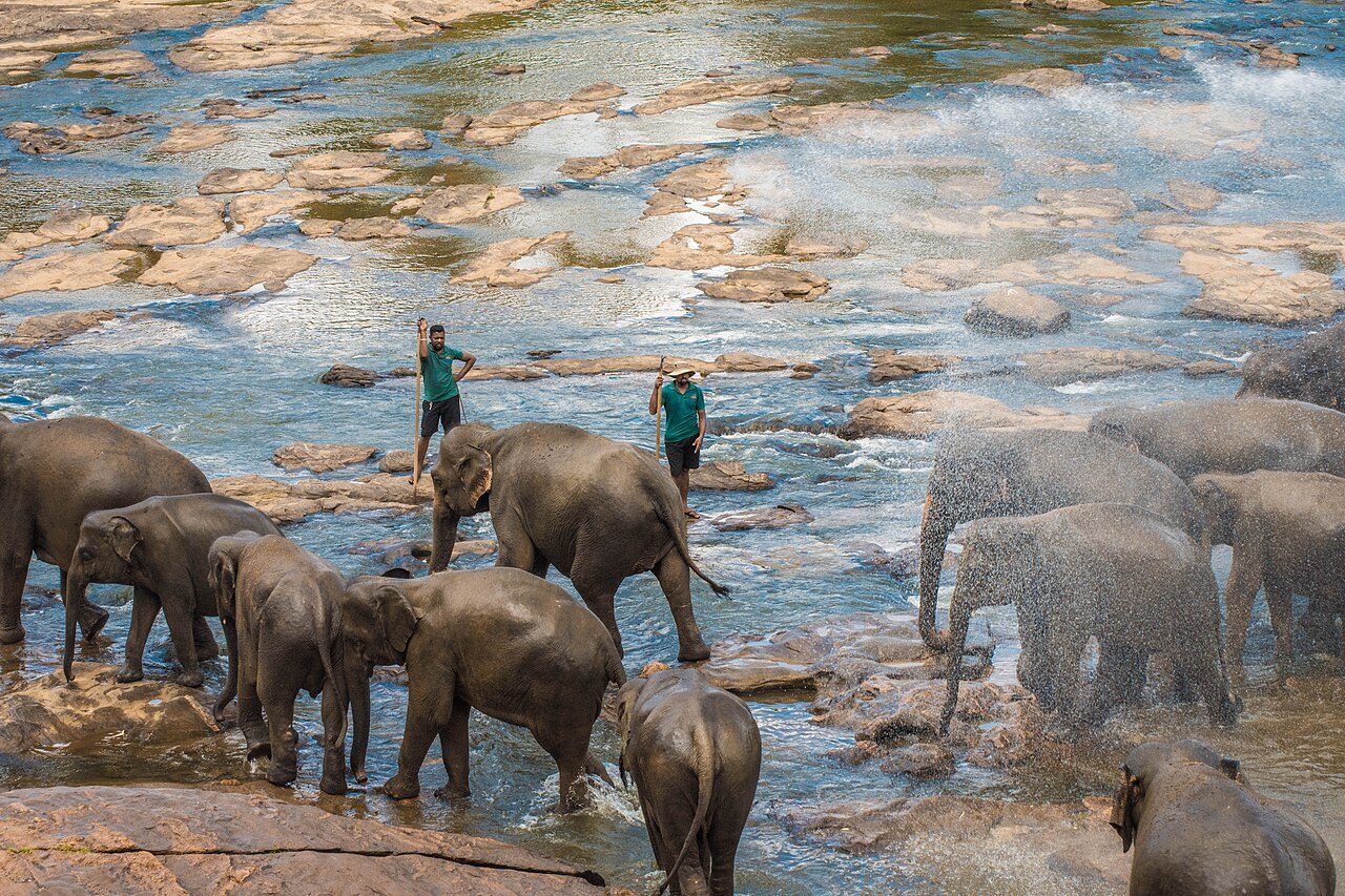
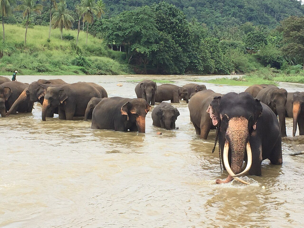
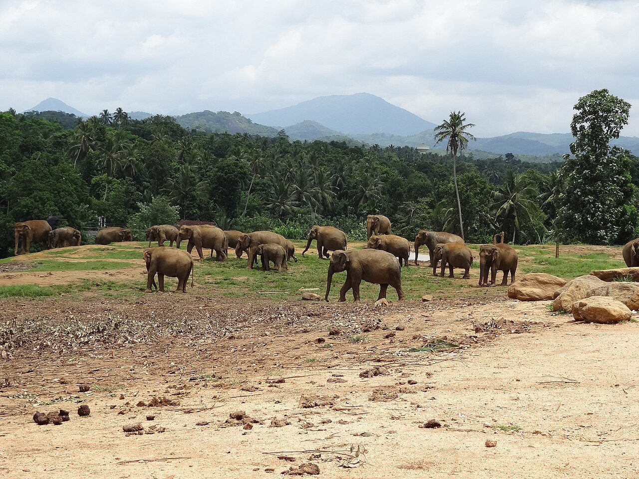
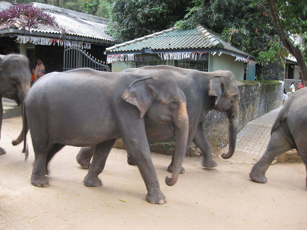
The Pinnawala Elephant Orphanage, near Kegalle, was set up in 1975 to care for orphaned and injured wild elephants. It now holds one of the largest captive herds in the world, with many calves born here. Twice a day the herd walks through the village to bathe in the Maha Oya river, which is the highlight of a visit.
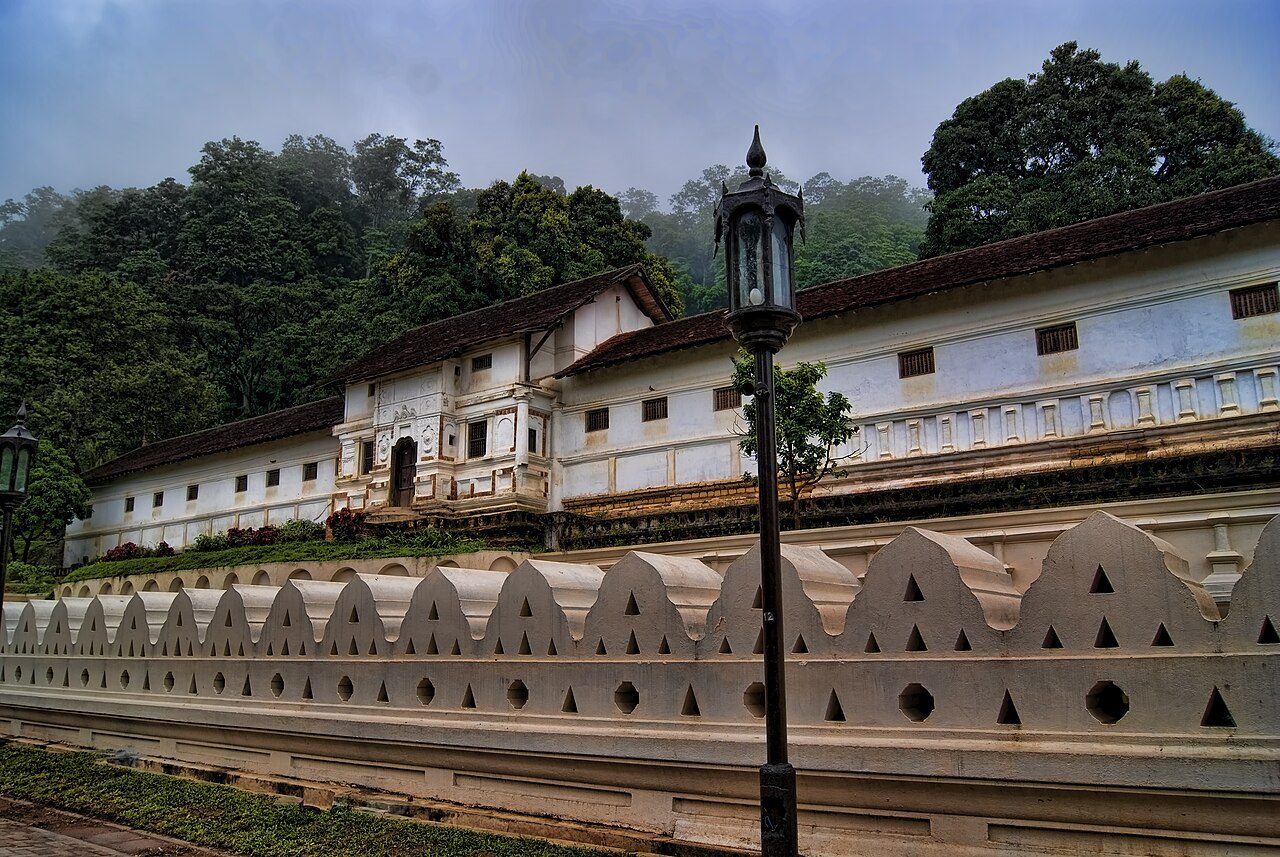
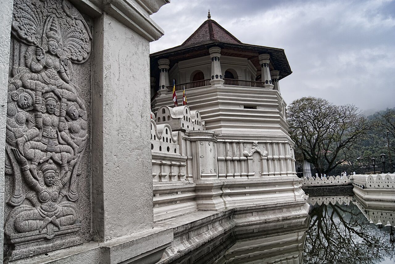
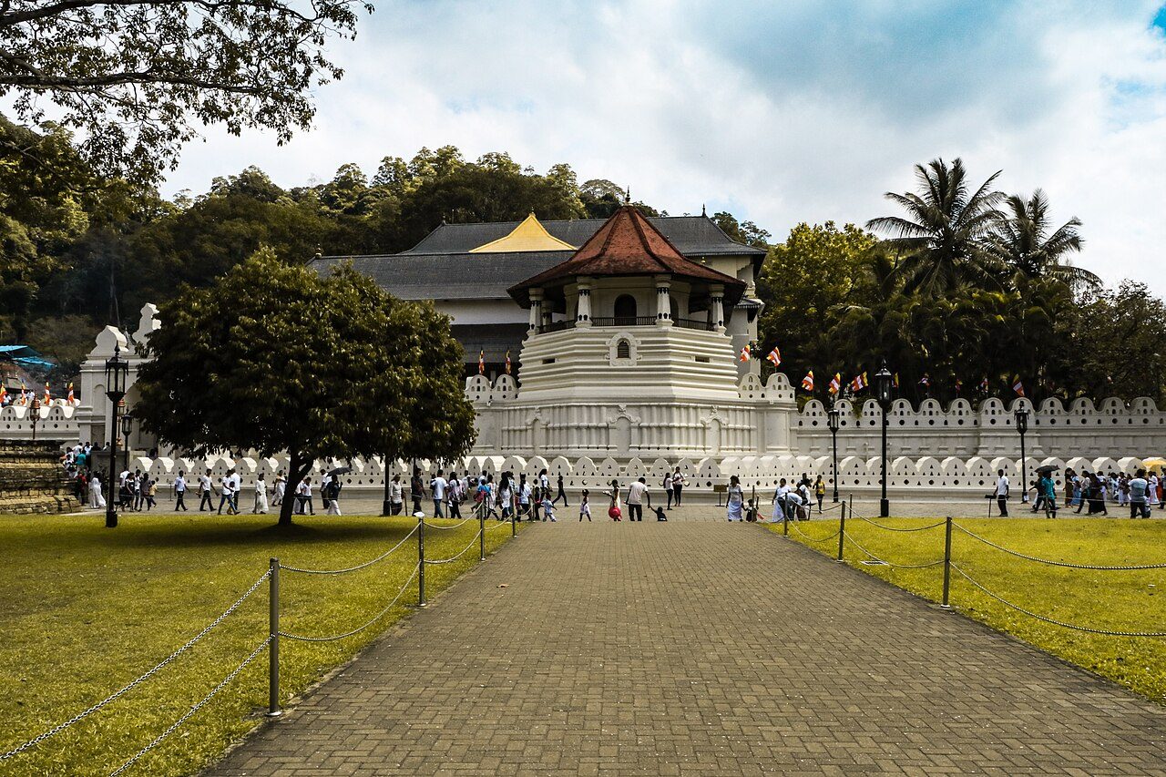
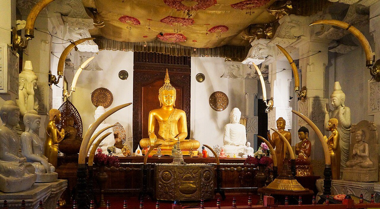
The Temple of the Sacred Tooth Relic, Sri Dalada Maligawa, stands in the old royal palace complex beside Kandy Lake. It houses a tooth relic of the Buddha, brought to the island in the 4th century and long regarded as the symbol of the right to rule. Drummers play at the daily offerings. The Esala Perahera in July or August honours the relic.
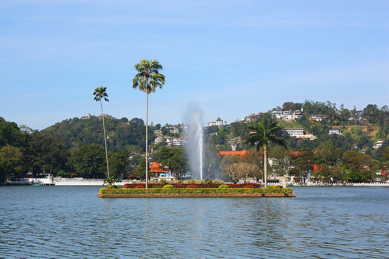
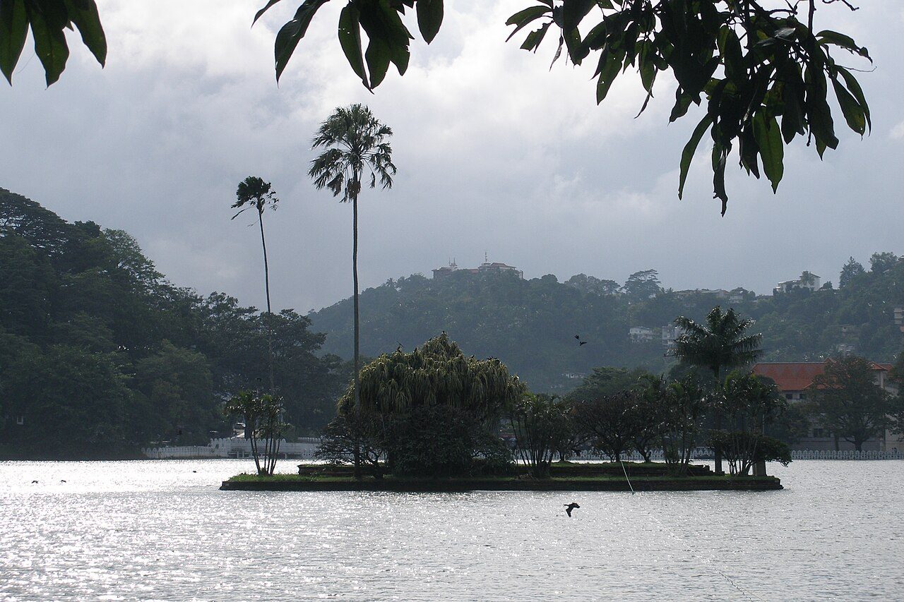
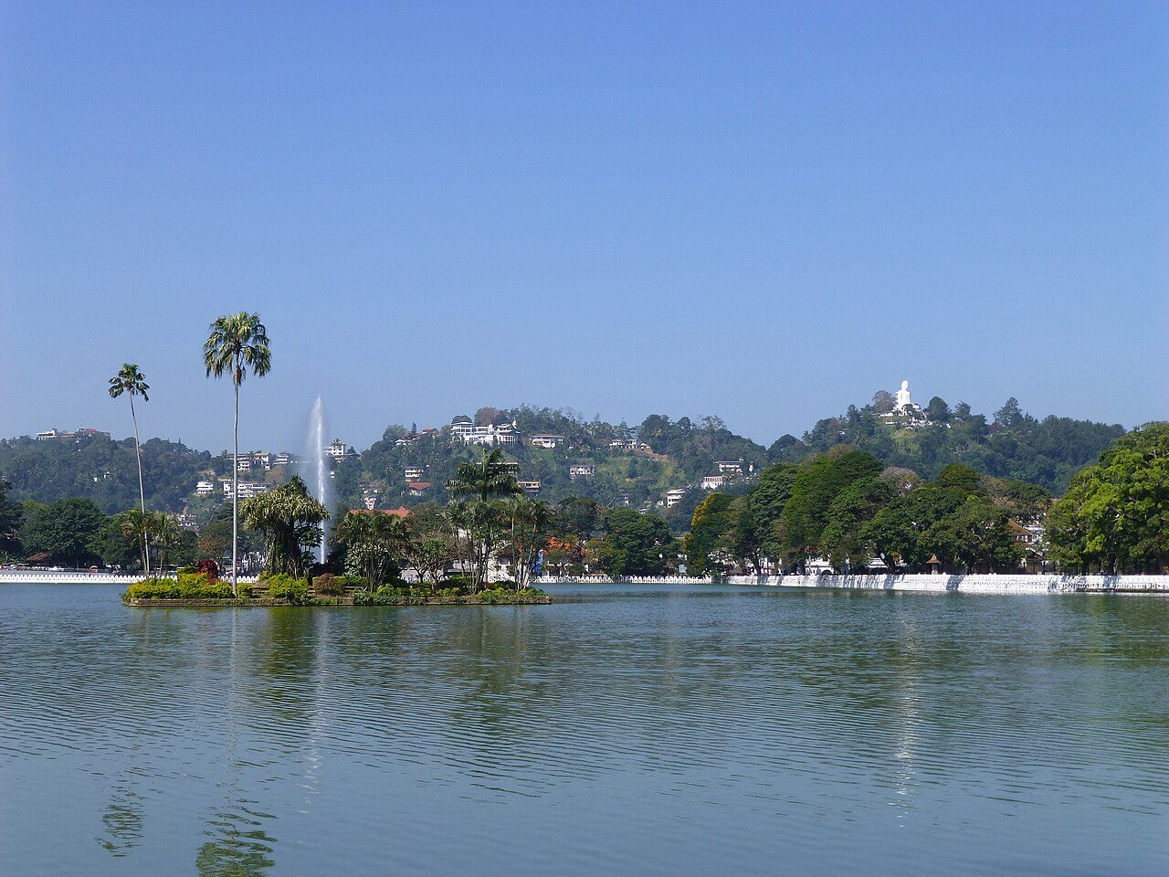
Kandy Lake, or Kiri Muhuda, lies in the centre of Kandy beside the Temple of the Tooth. It was created in 1807 by Sri Wickrama Rajasinha, the last king of Kandy, by damming paddy fields. A decorative wall called the Walakulu Bemma runs along part of the shore. The shaded path around the lake is about 3.4 km and popular for walks.
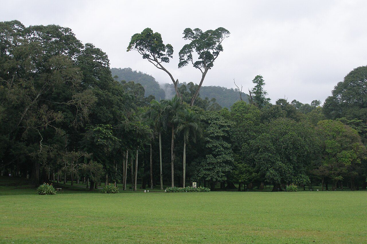
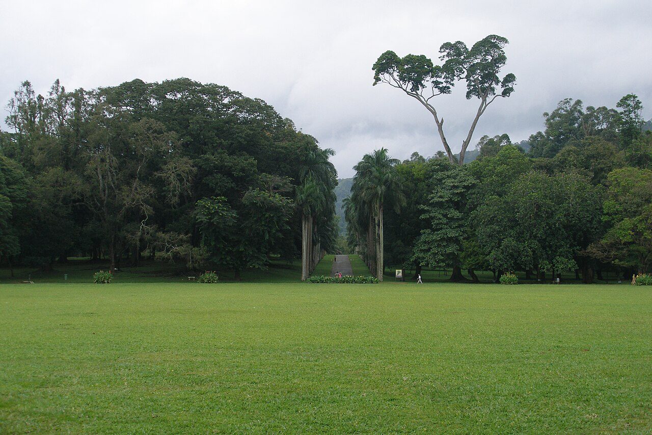
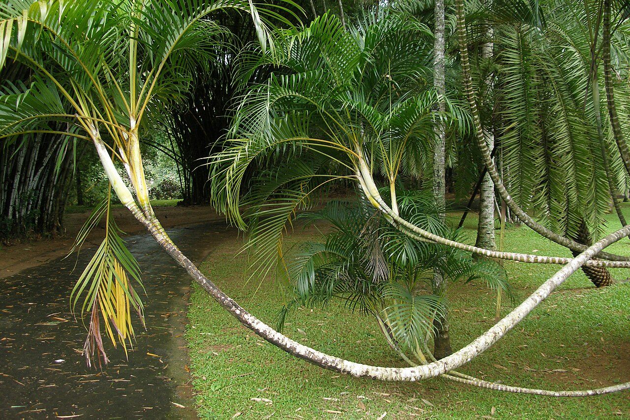
The Royal Botanic Gardens at Peradeniya lie in a loop of the Mahaweli River about 5 km from Kandy. The site has royal origins, and the present garden was established by the British in 1821. It is known for its orchid house, avenue of royal palms, giant Javan fig tree and trees planted by visiting heads of state. The grounds cover about 60 hectares.
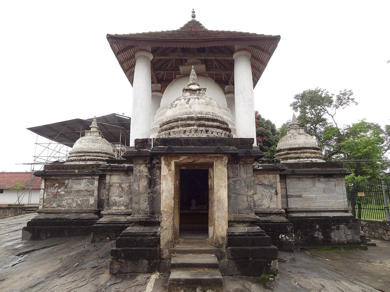
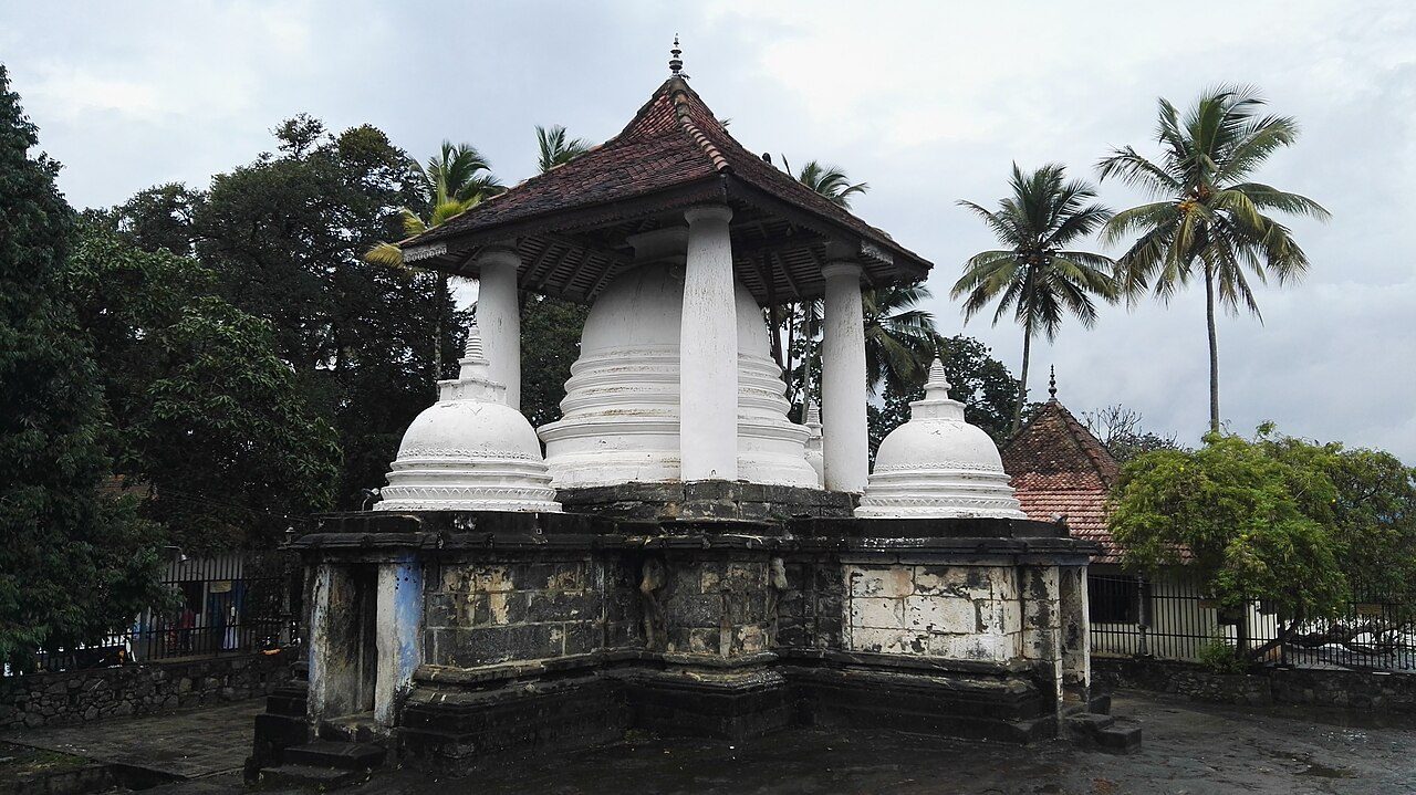
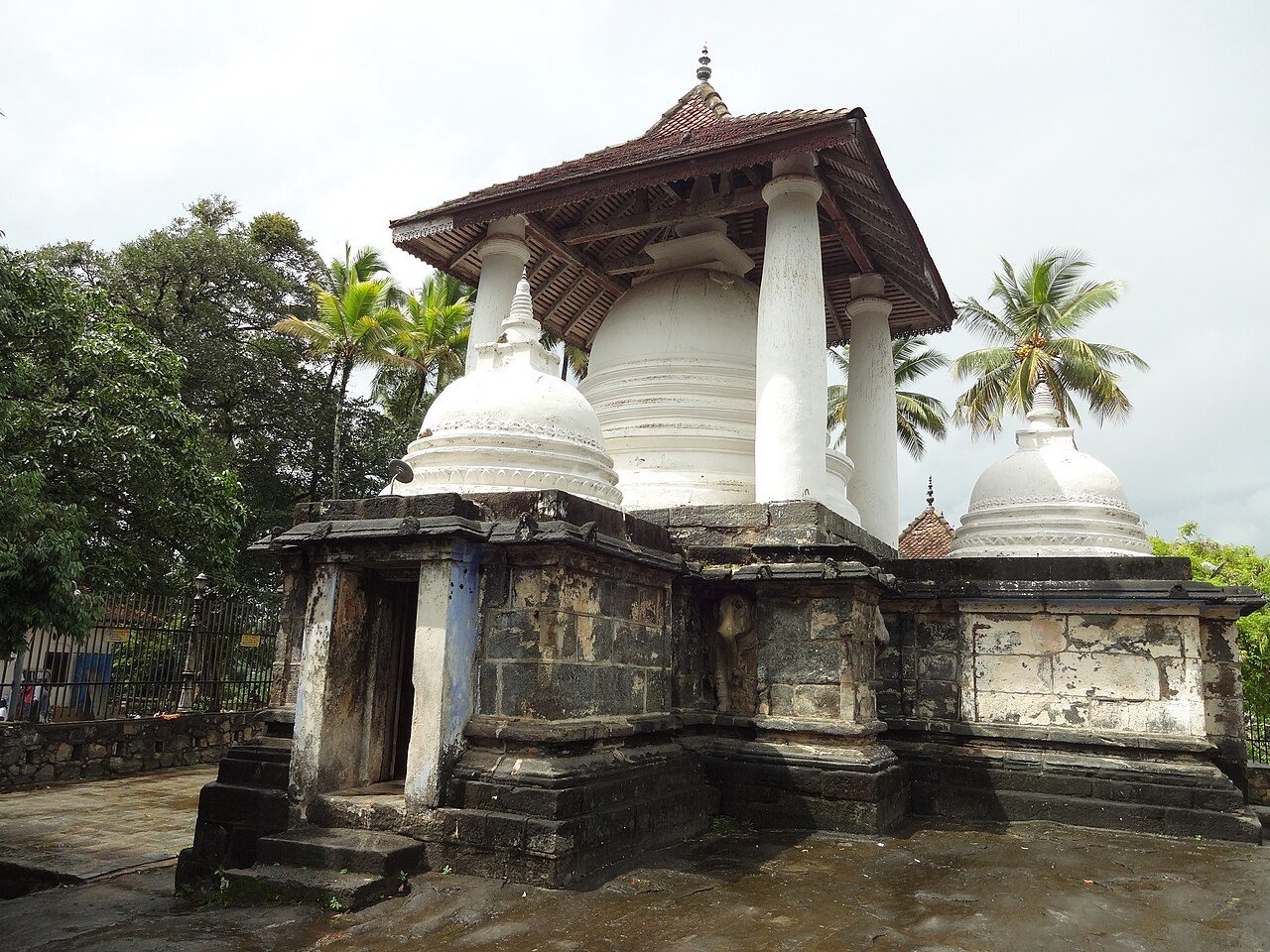
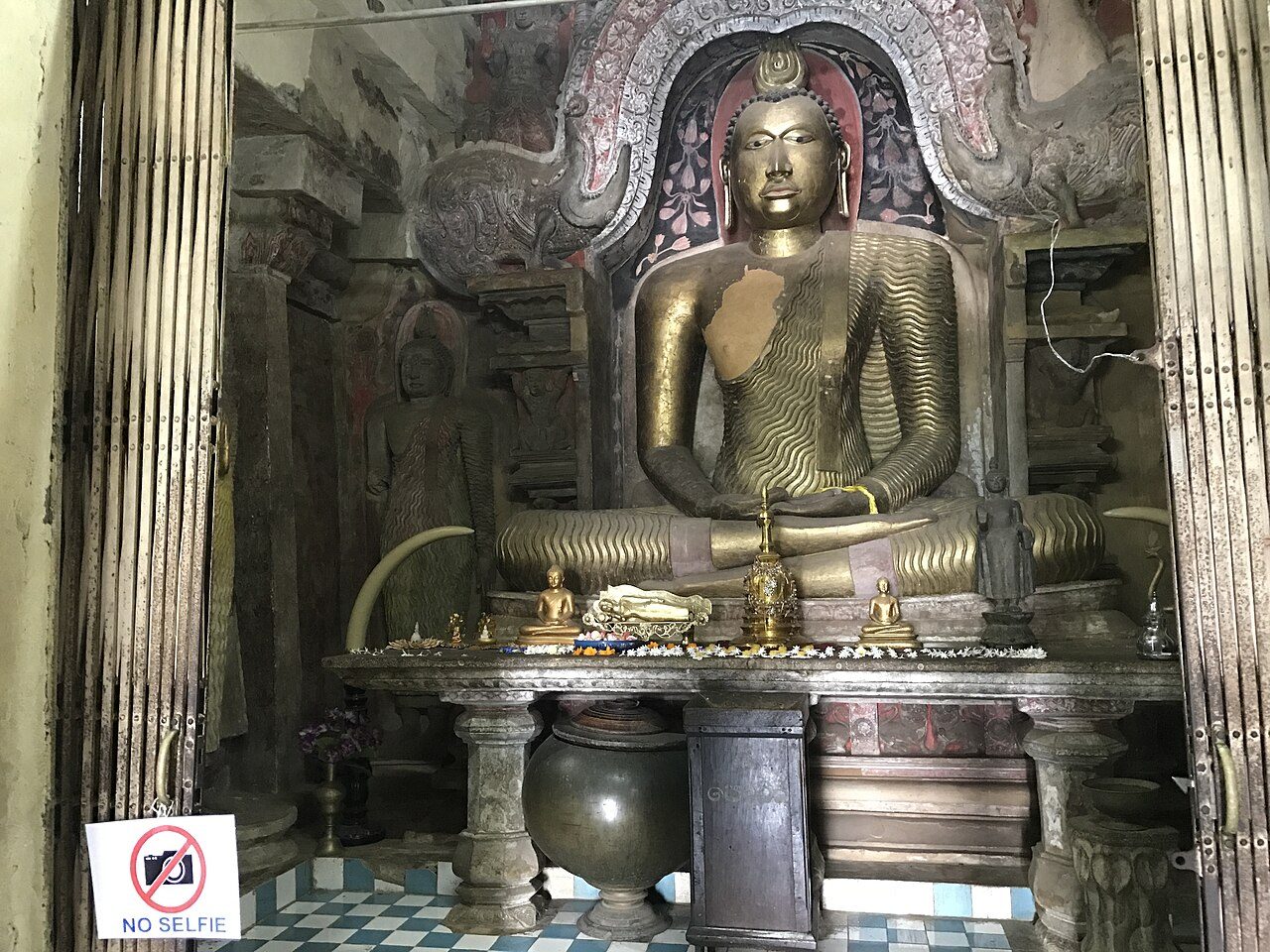
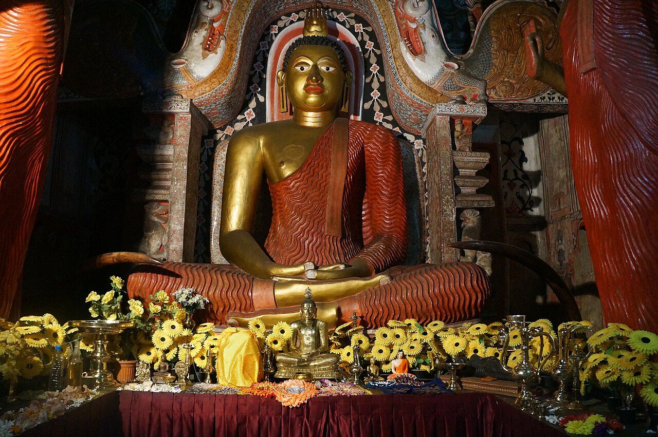
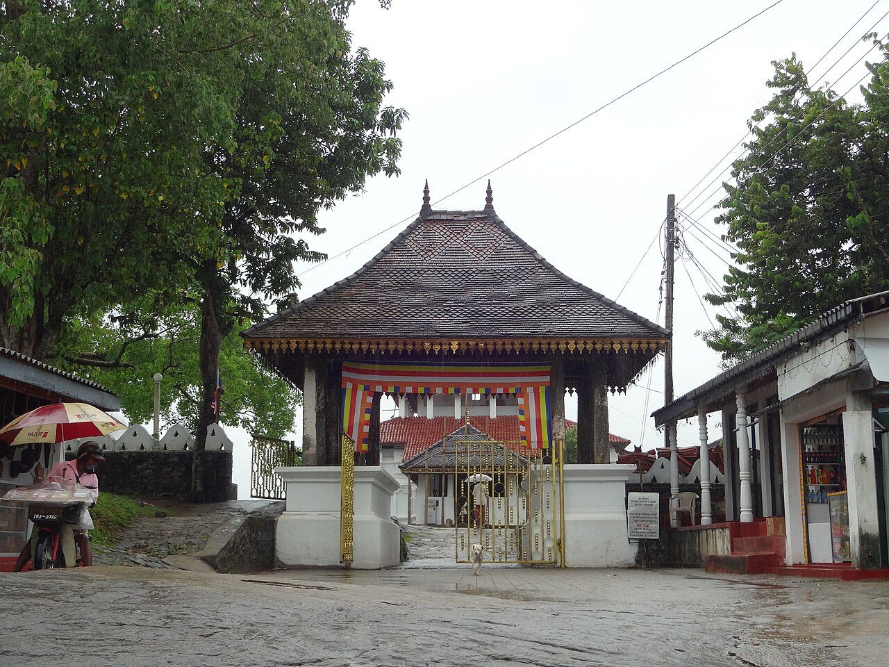
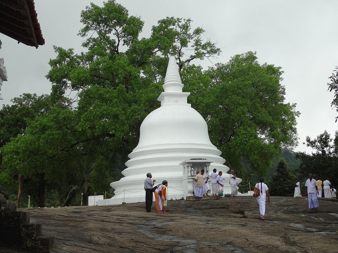
Gadaladeniya Vihara stands on a flat rock near Pilimathalawa, west of Kandy. An inscription dates it to 1344, in the reign of Bhuvanekabahu IV of Gampola. Built largely of stone by a South Indian architect, it shows Vijayanagar influence. The main shrine holds a seated Buddha under a makara arch, and a smaller stupa stands under a roof beside it.
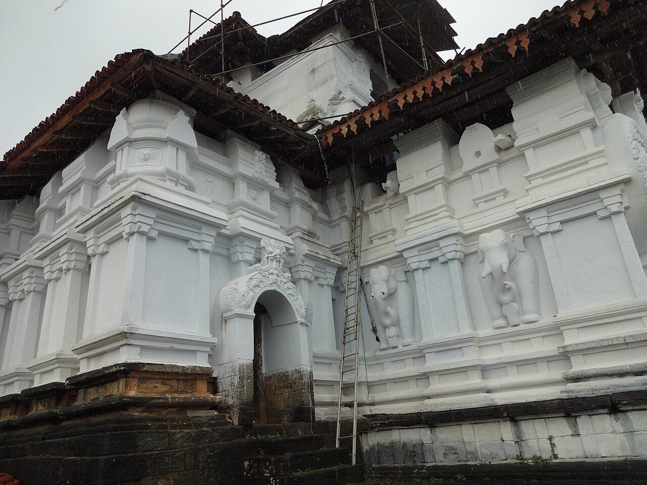
Lankatilaka Vihara stands on a rock at Hiyarapitiya in Udunuwara, a few kilometres from Gadaladeniya. It was built in 1344 under King Bhuvanekabahu IV of the Gampola kingdom. The tall white image house, once four storeys high, holds a seated Buddha and Kandyan-period paintings, and shrines to guardian gods are built into its outer wall.
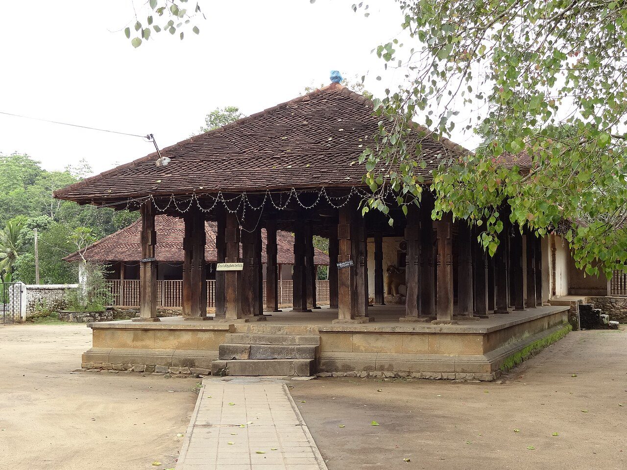
Embekke Devalaya, in Udunuwara near Kandy, is dedicated to the god Kataragama and dates from the Gampola period in the 14th century. It is famous for its drummers' hall, whose wooden pillars are covered with carvings of dancers, wrestlers, swans, a double-headed eagle and entwined figures, among the finest woodcarving in Sri Lanka.
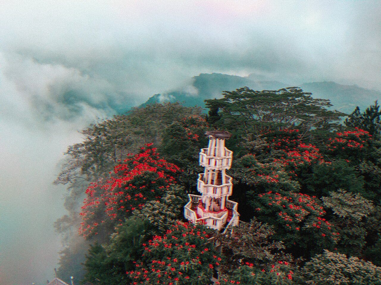
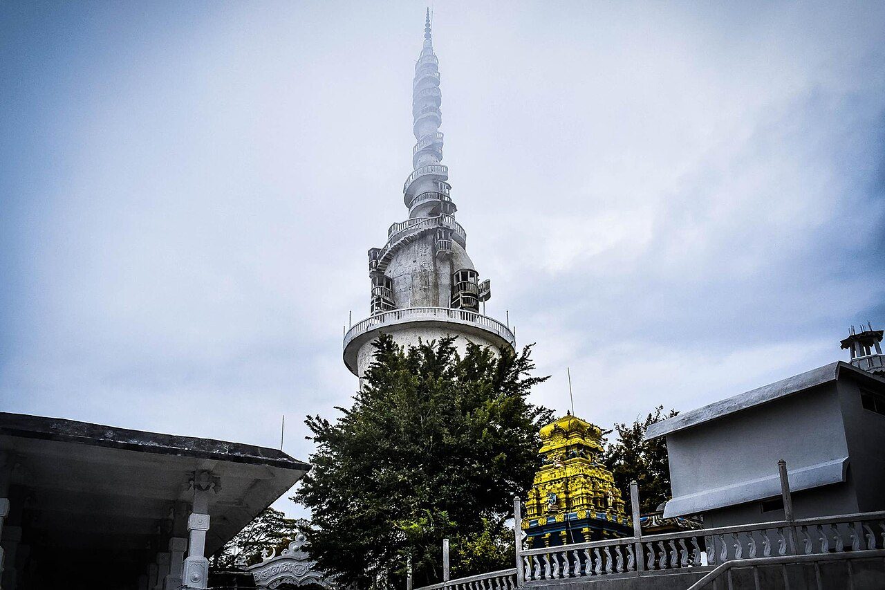
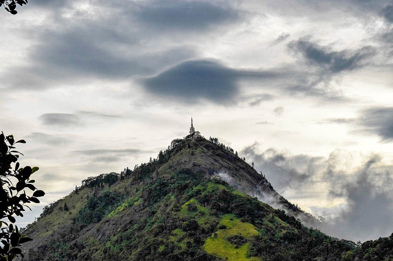
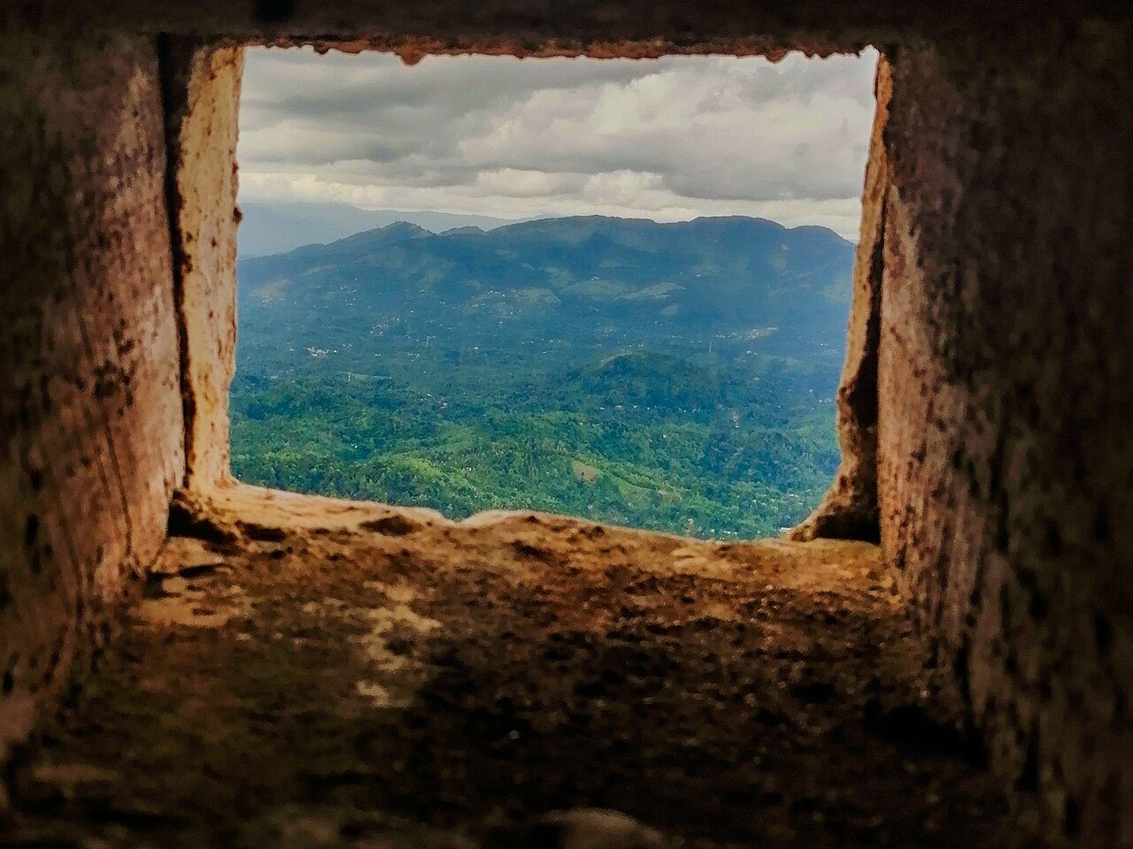
Ambuluwawa is a hilltop near Gampola developed as a biodiversity complex and multi-religious centre, with a Buddhist stupa, a Hindu kovil, a mosque and a church. Its landmark is a white tower about 48 metres high with a narrow spiral staircase winding around the outside. The summit gives a full circle of views over the central hills.
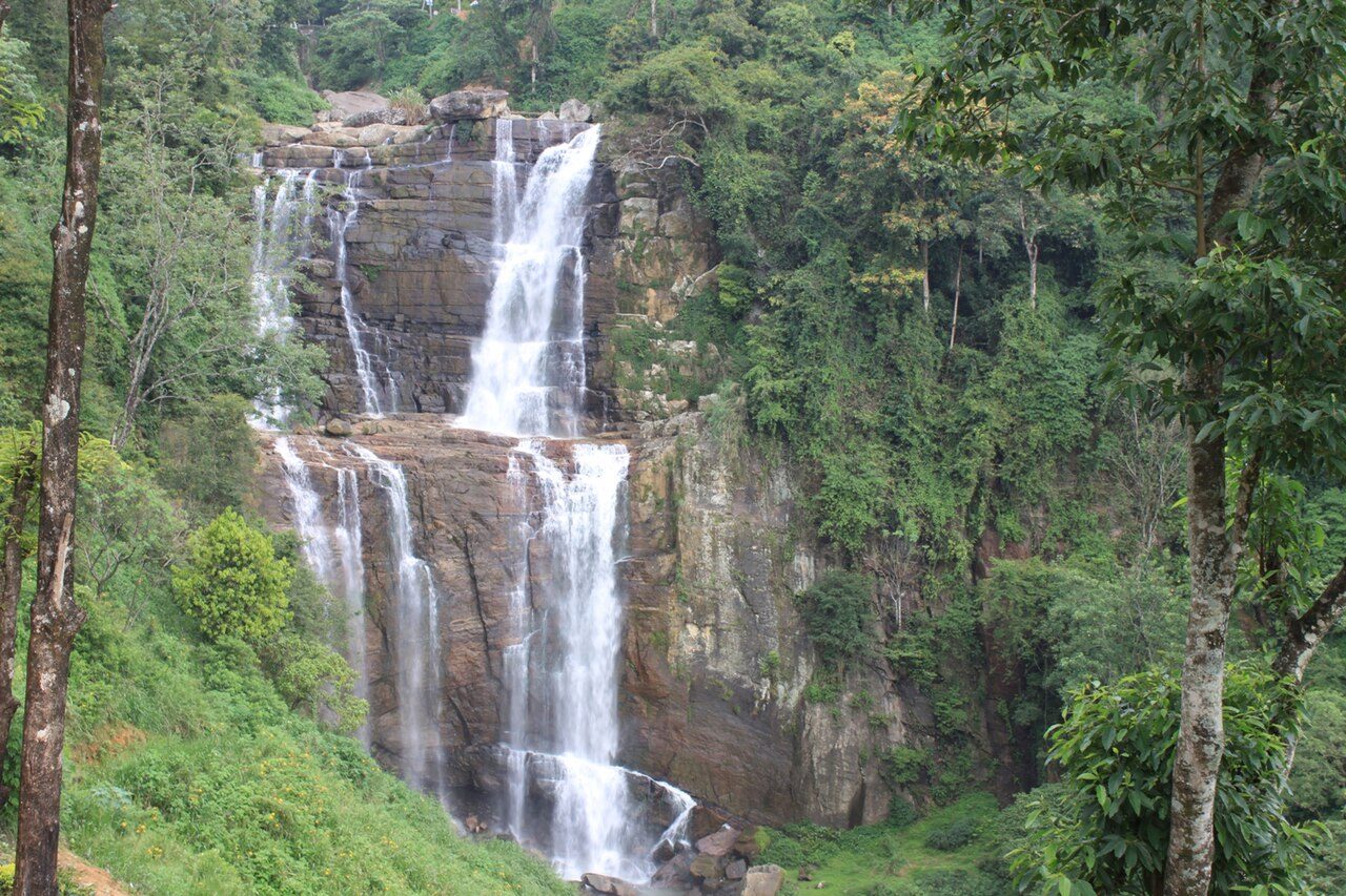
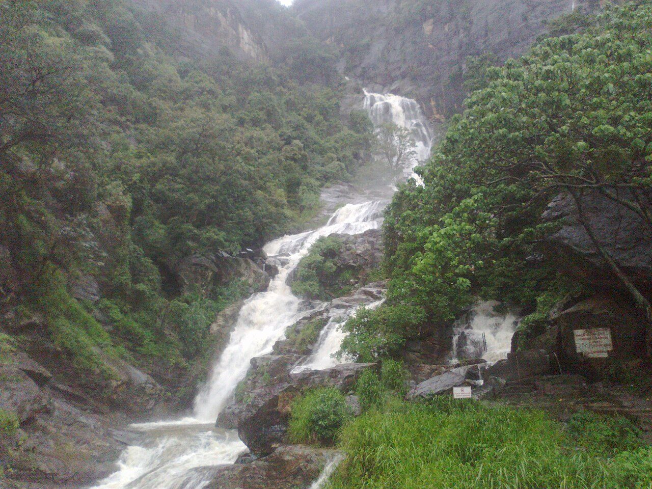
Ramboda Falls lies beside the Kandy to Nuwara Eliya road near the Ramboda Pass. With a total height of about 109 metres, it is among the highest waterfalls in Sri Lanka. The stream falls in several sections above and below the road. A short climb beside a hotel leads to a viewing platform close to the main drop.
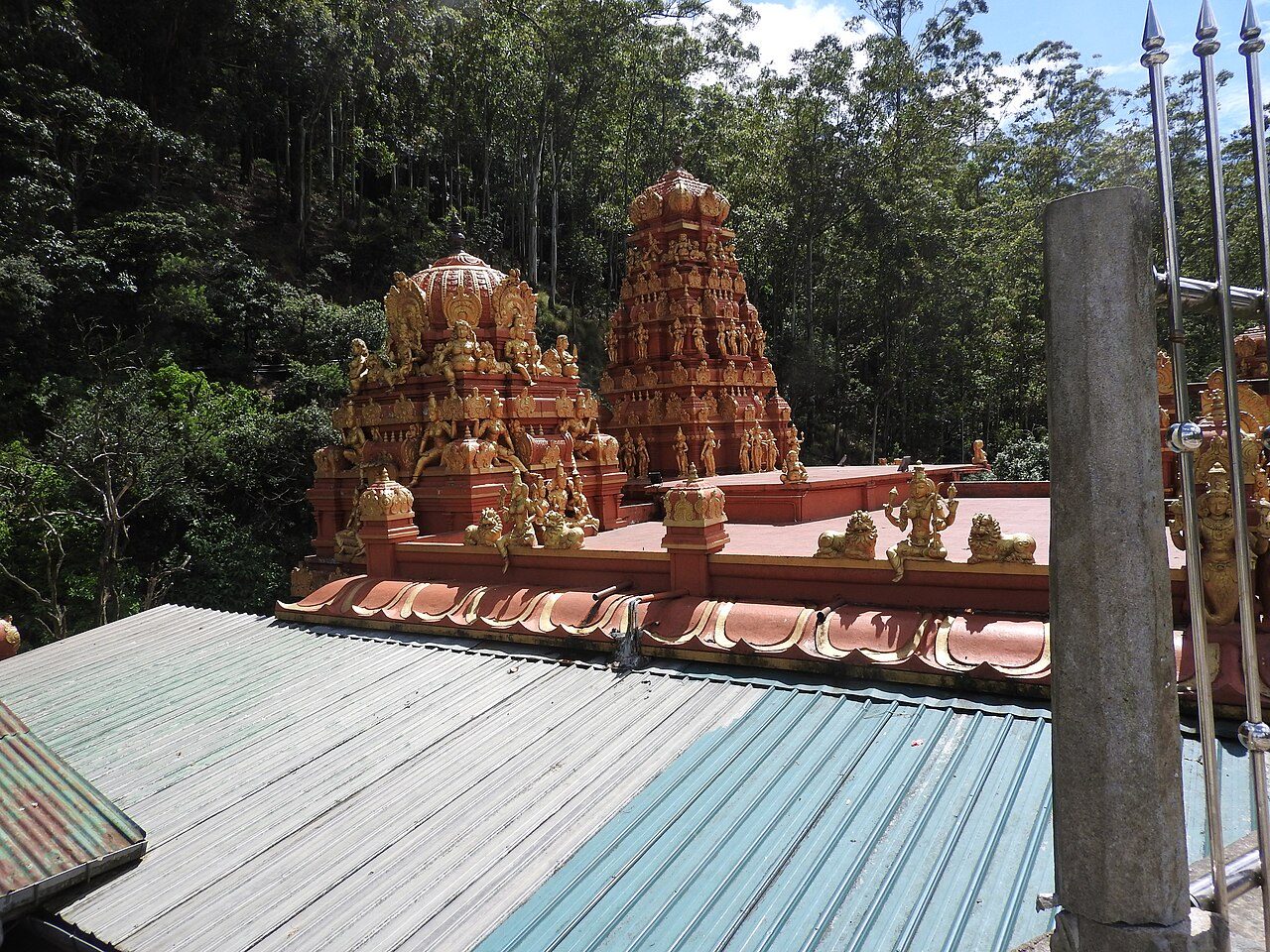
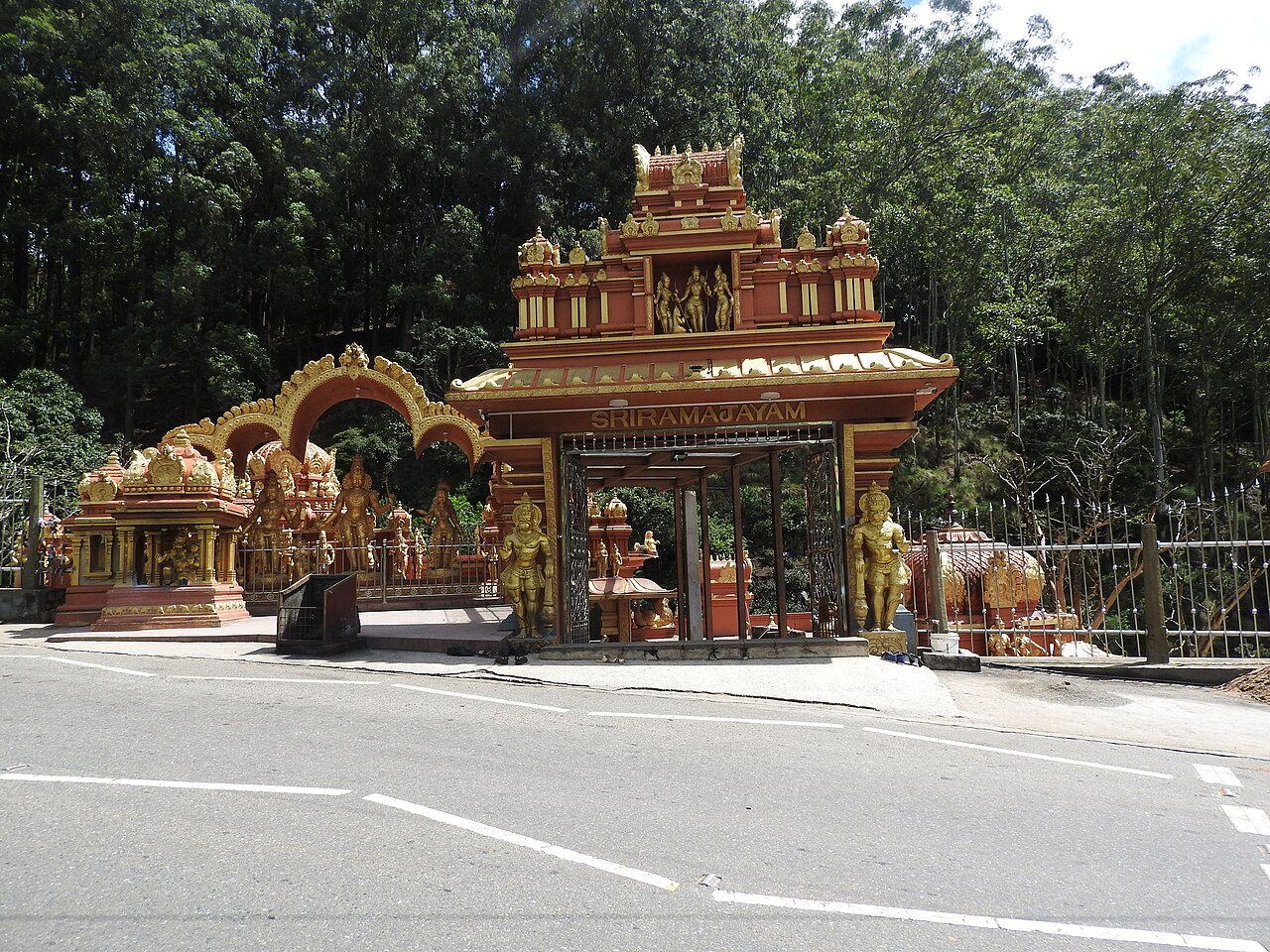
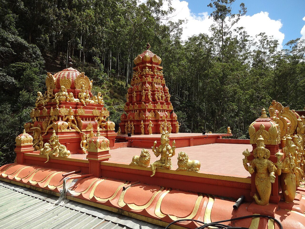
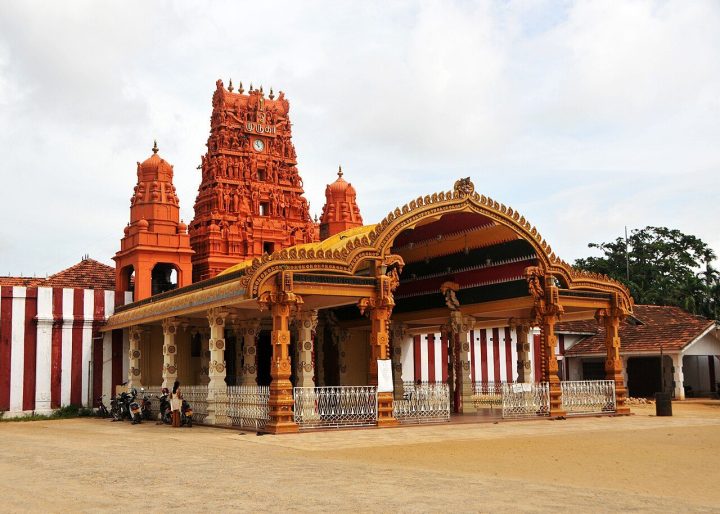
Seetha Amman Temple stands beside a stream at Seetha Eliya, a few kilometres from Nuwara Eliya on the Badulla road. Local tradition holds this to be the Ashok Vatika where Sita was held captive by Ravana in the Ramayana. The colourful temple honours Sita, Rama, Lakshmana and Hanuman, and marks on the rock by the stream are said to be Hanuman's footprints.
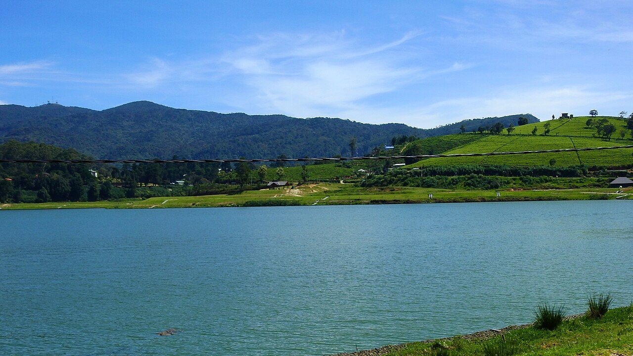
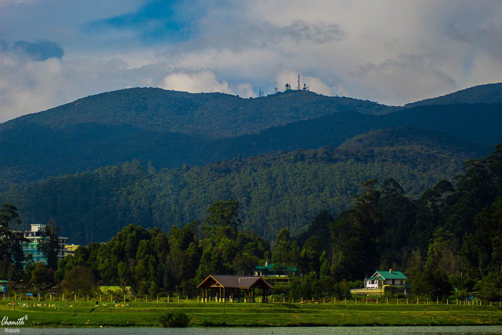
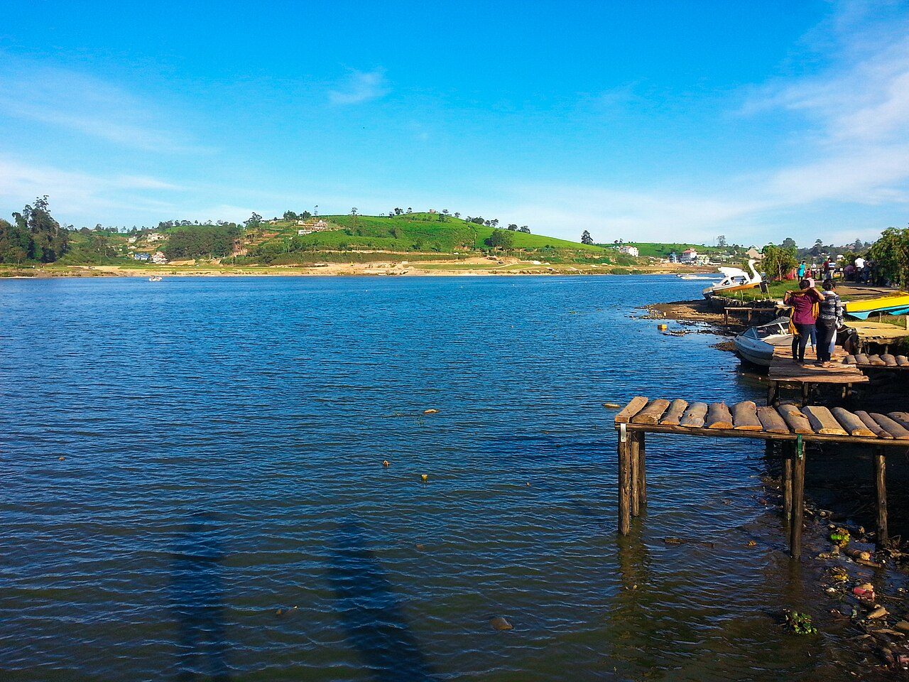
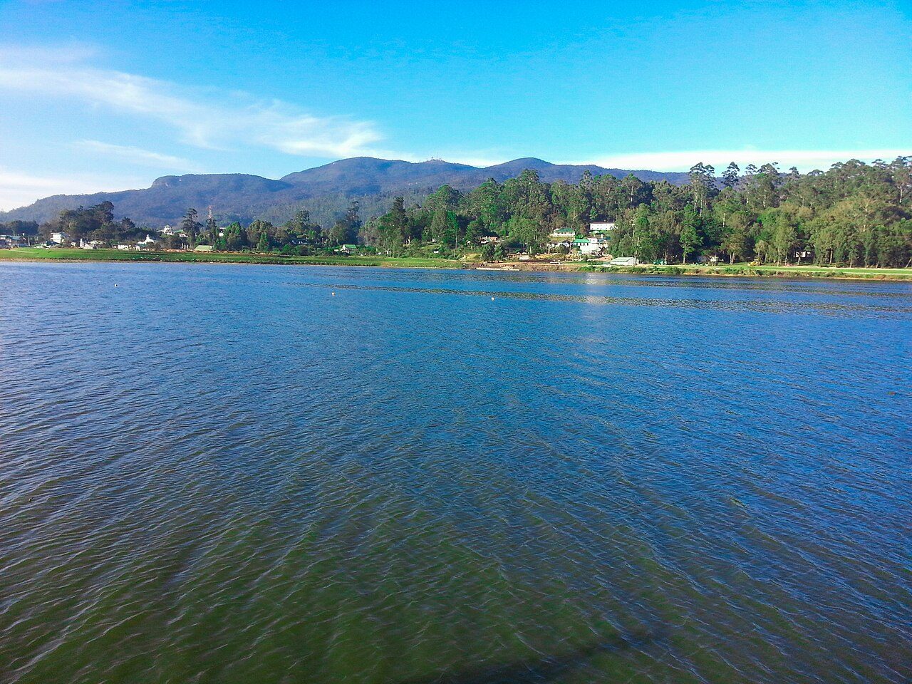
Gregory Lake lies at the southern edge of Nuwara Eliya town. It was created in 1873 under the British governor Sir William Gregory by damming the Nanu Oya stream. A landscaped park runs along the shore with walking paths, pony rides and food stalls, and swan boats and jet skis are offered on the water. Evenings can be cold.
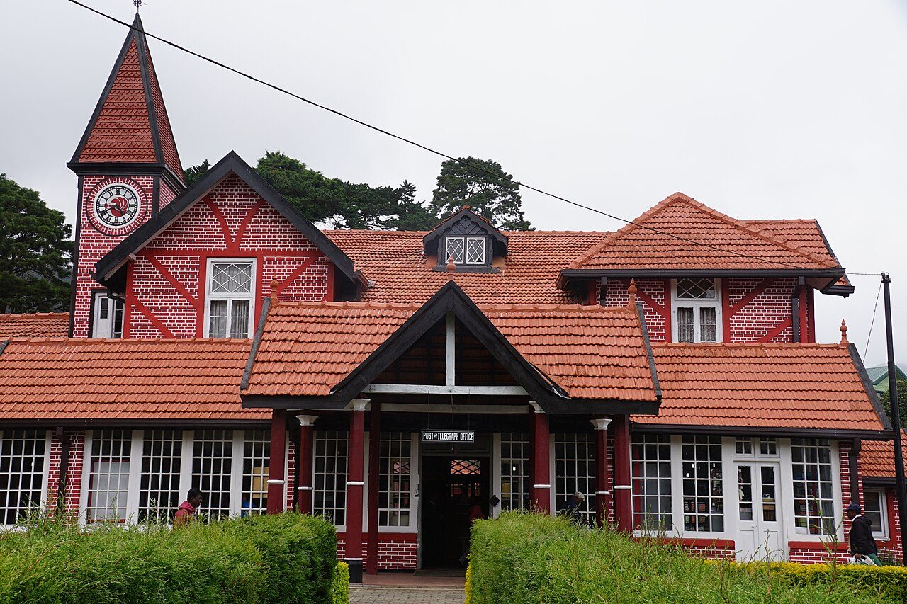
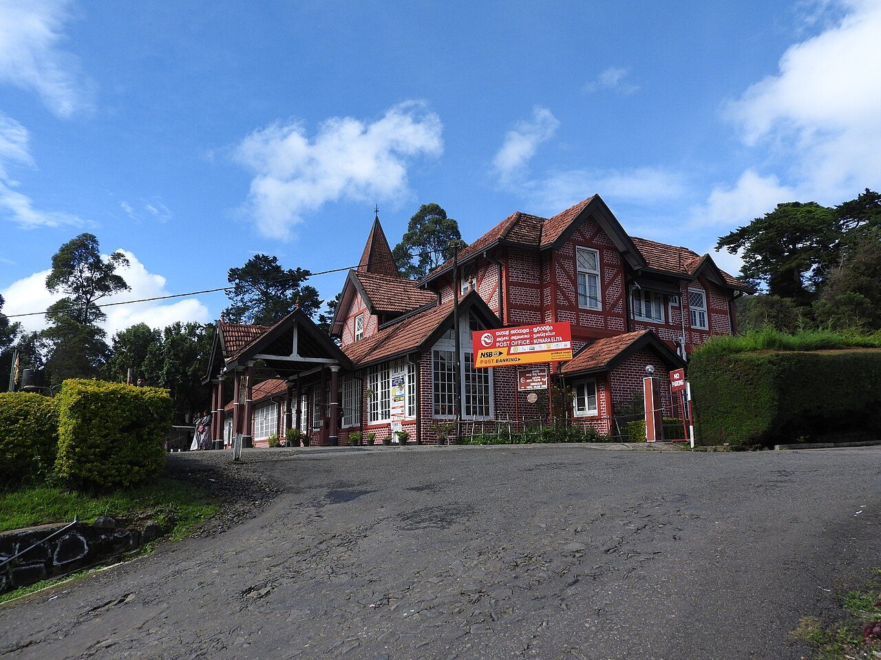
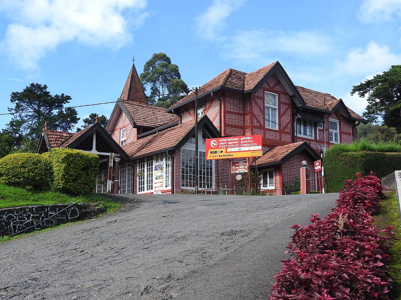
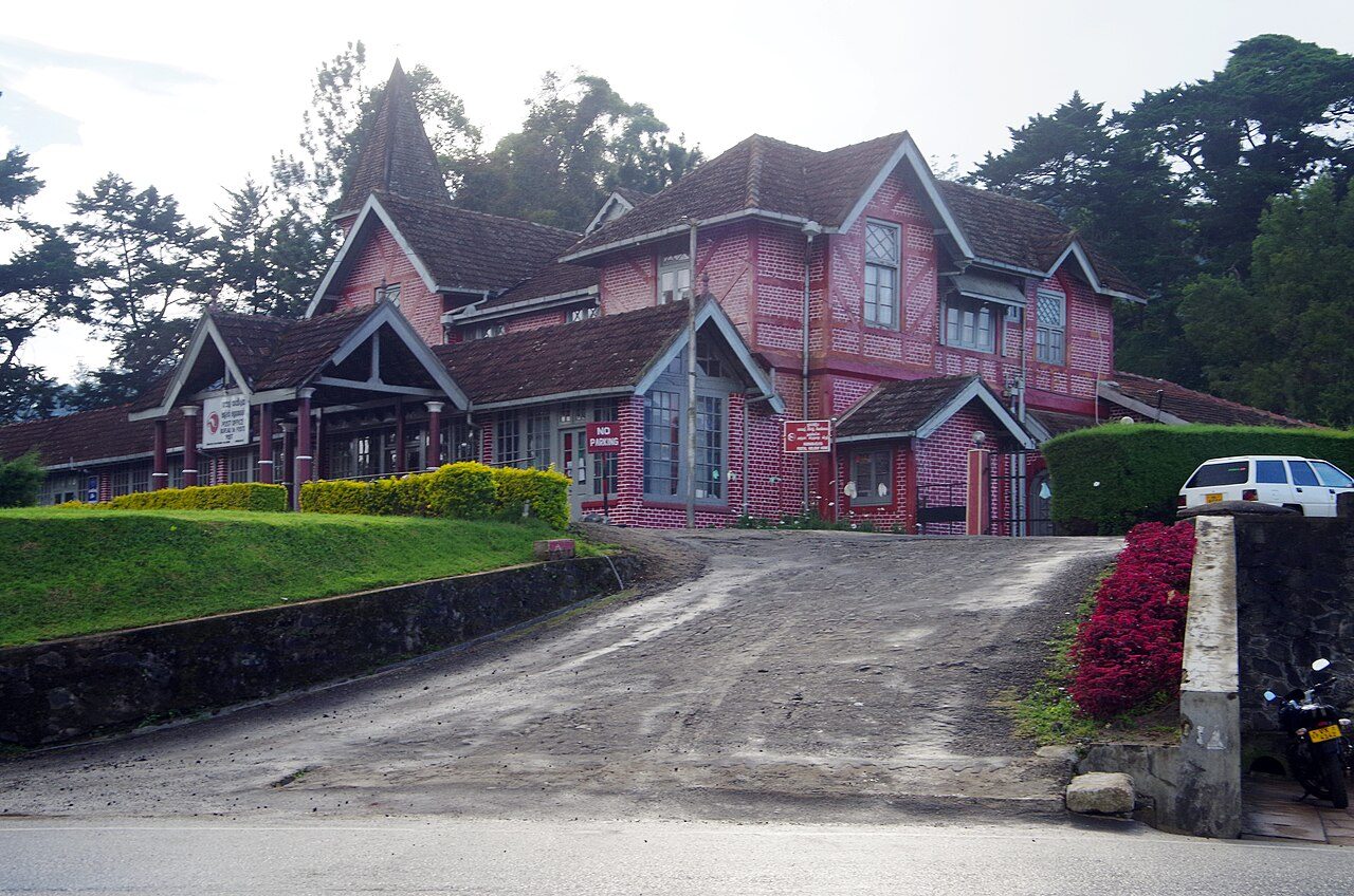
The Nuwara Eliya Post Office is a two-storey red-brick building with a clock tower in the centre of town, built by the British in 1894 in Tudor style. It is one of the oldest post offices in Sri Lanka and still works as one. Visitors come to post a card from the hills and to photograph the building.
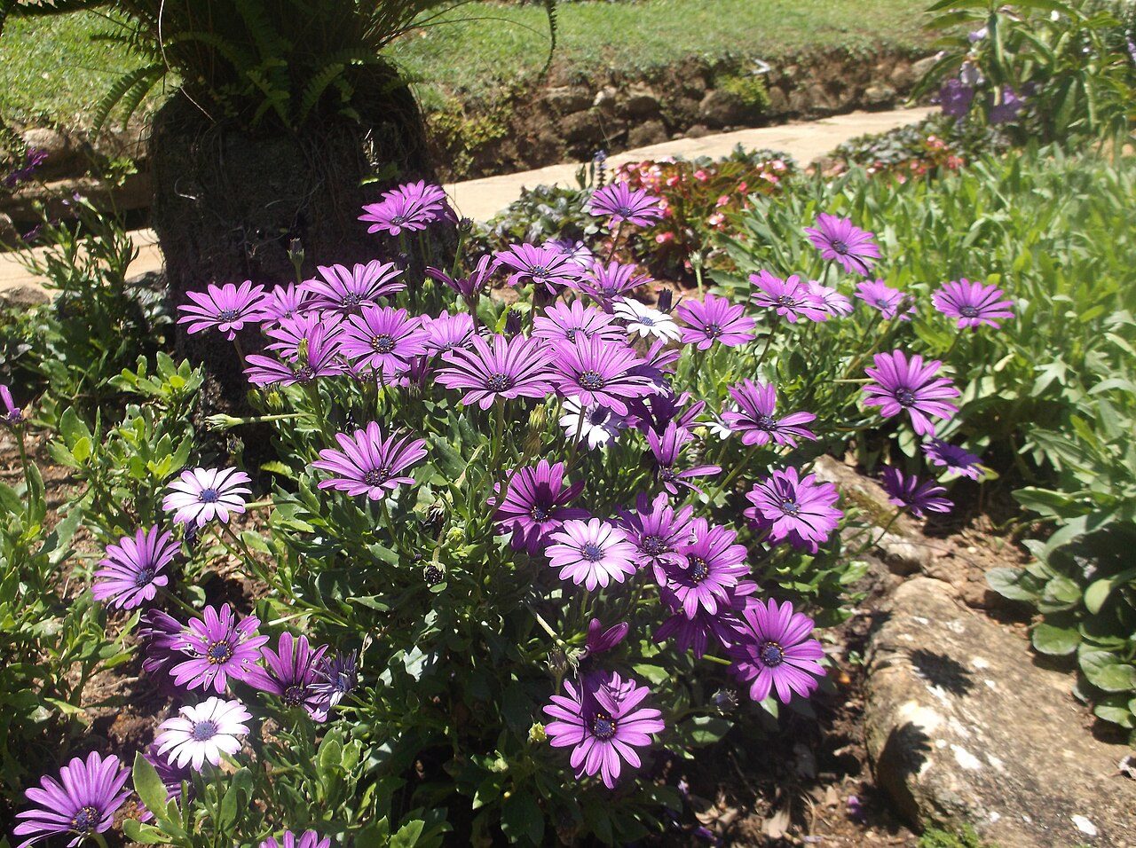
Hakgala Botanical Garden lies about 10 km from Nuwara Eliya on the Badulla road, below the Hakgala rock. It was started in 1861 for experiments with cinchona, the source of quinine, and later with tea. At about 1,750 metres it suits temperate plants, and it is known for roses, orchids and a fernery. Legend links the site with Sita of the Ramayana.
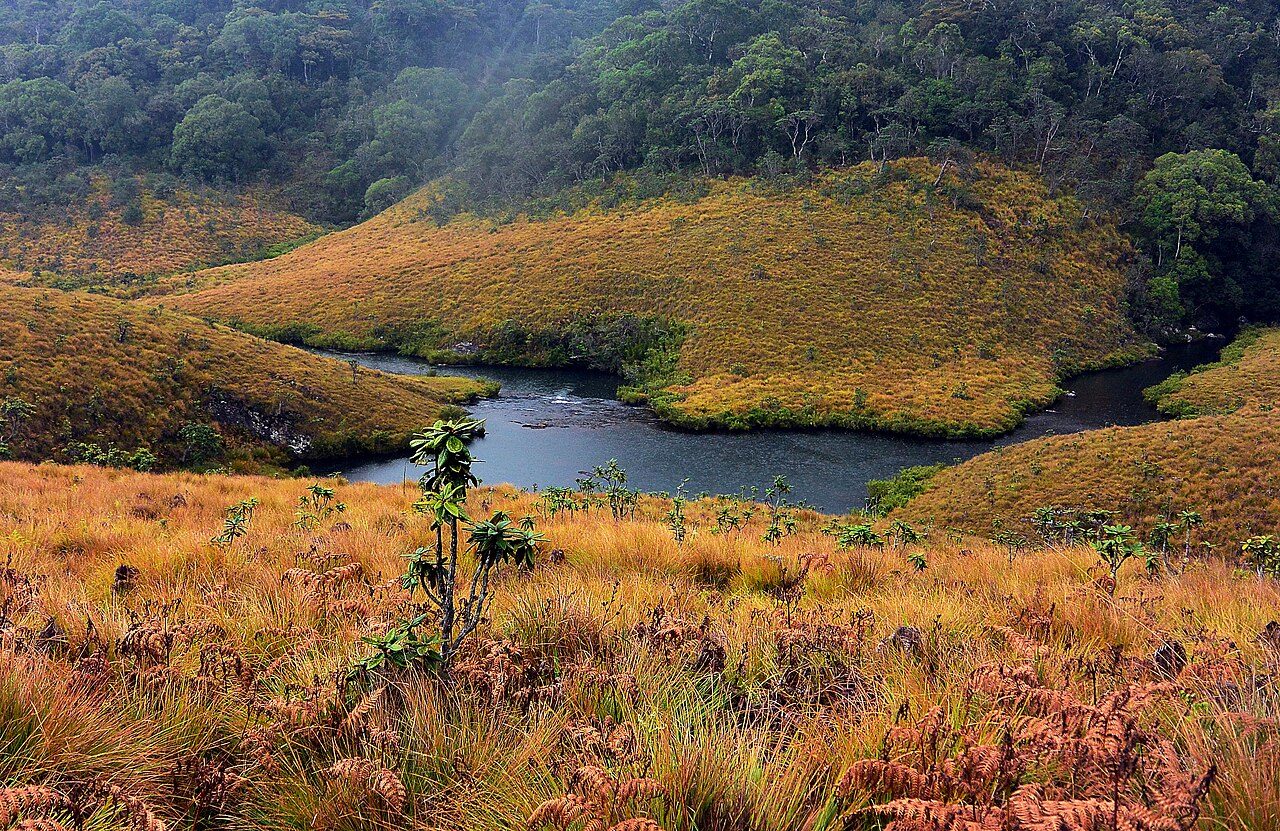
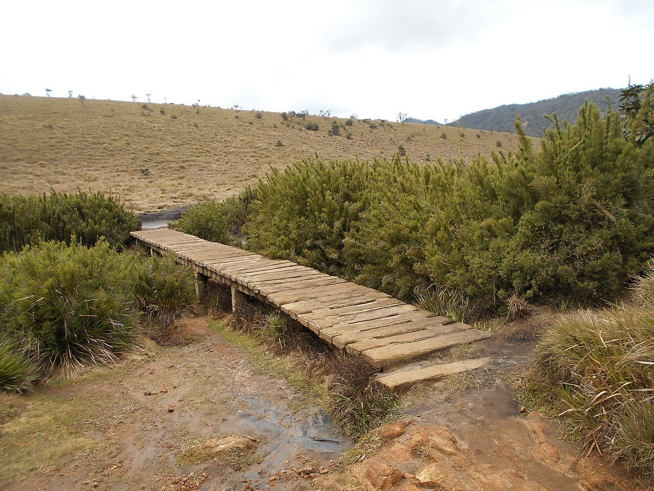
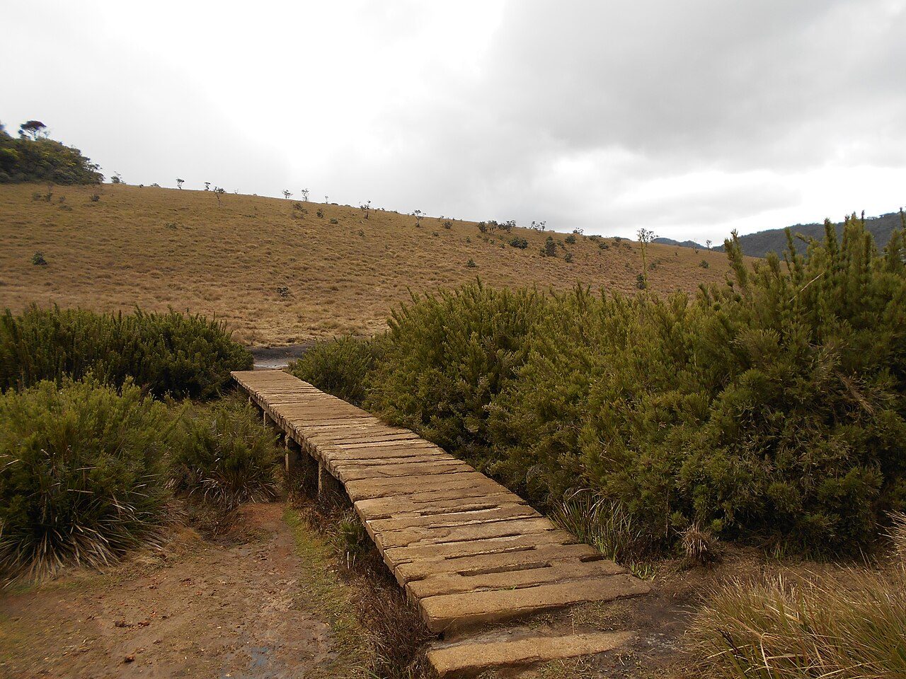
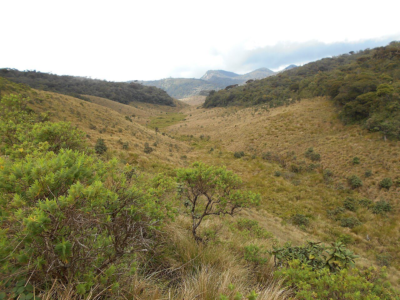
Horton Plains National Park is a high plateau at about 2,100 metres, covered with montane grassland and cloud forest. Three major rivers rise here. A circular trail of about 9 km leads to World's End and Baker's Falls. Sambar deer graze near the entrance, and the park is part of the Central Highlands World Heritage Site. Go early before mist closes in.
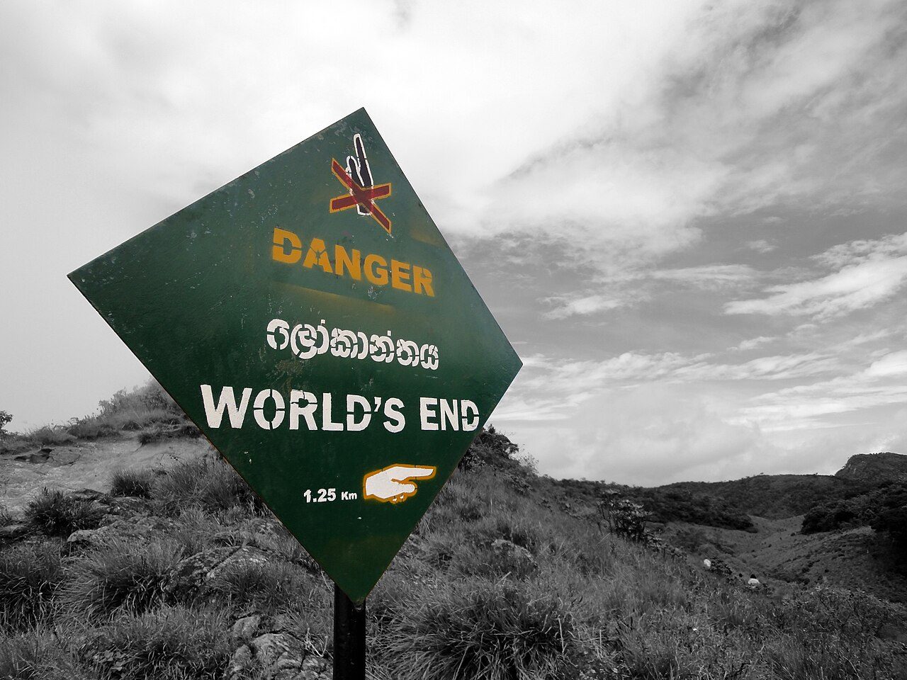
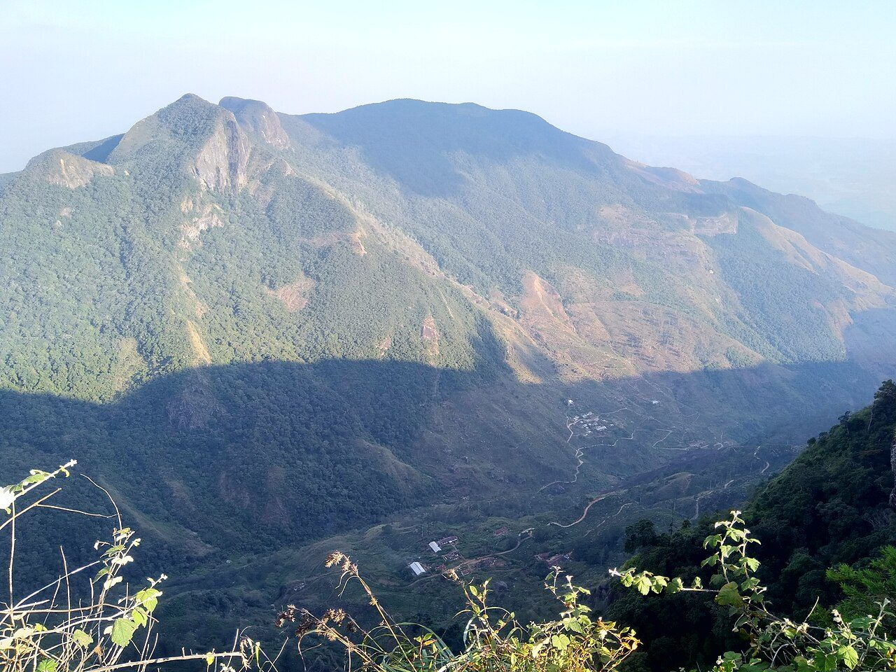
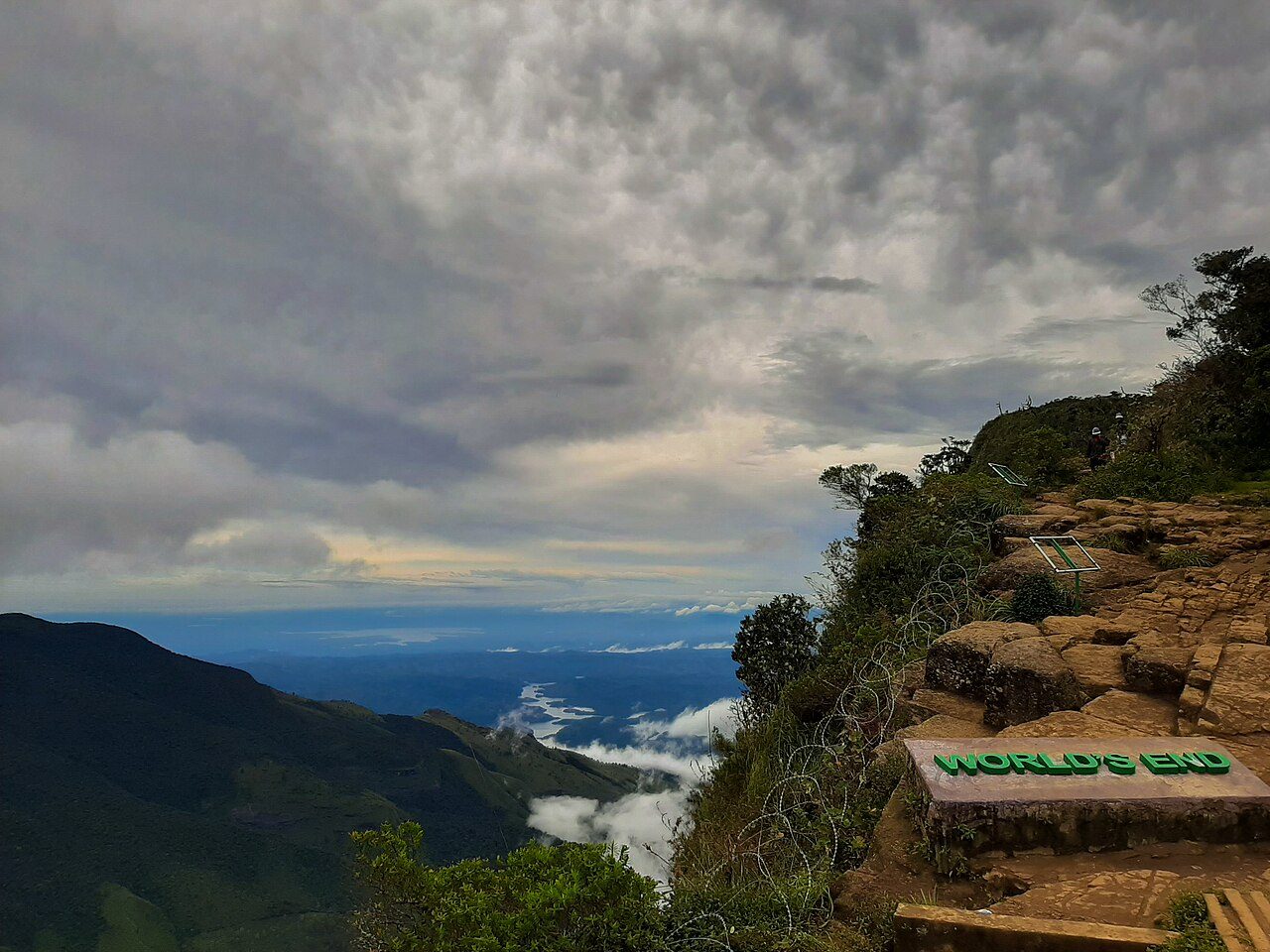
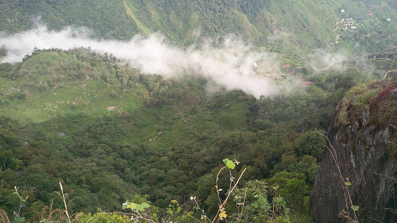
World's End is a sheer cliff on the southern edge of Horton Plains, with a drop of about 870 metres to the lowlands. On a clear morning the view reaches tea estates and villages far below and, at times, the south coast. A smaller cliff called Mini World's End lies a short walk before it. Mist usually hides the view by mid-morning.
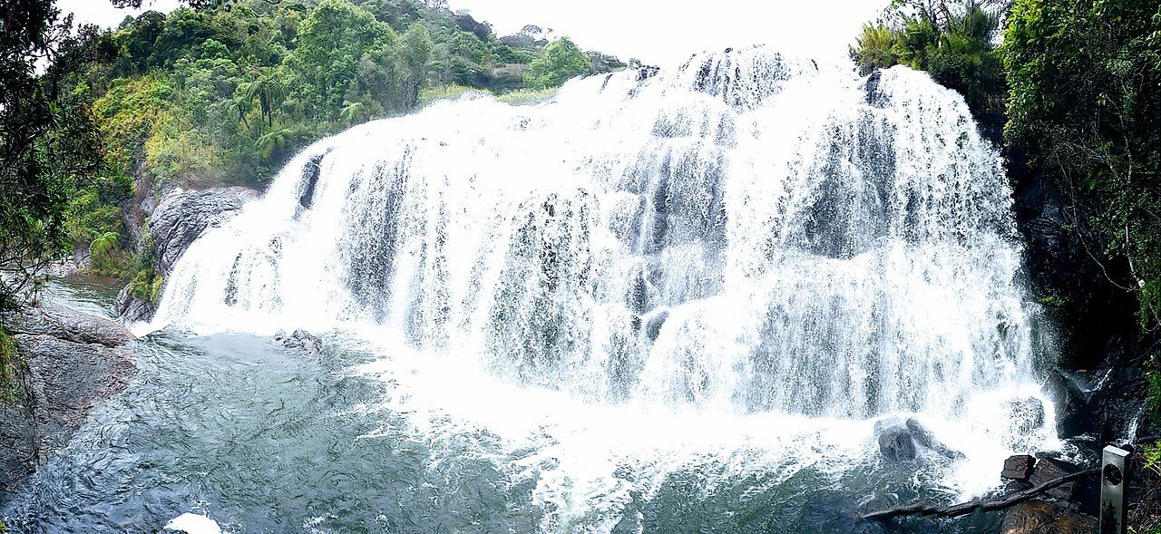
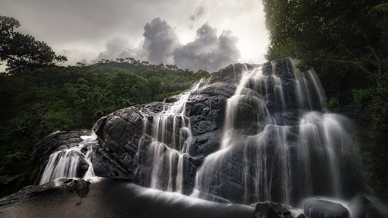
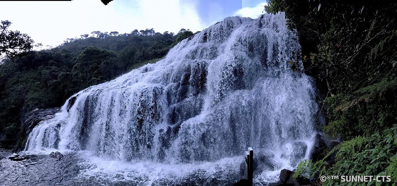
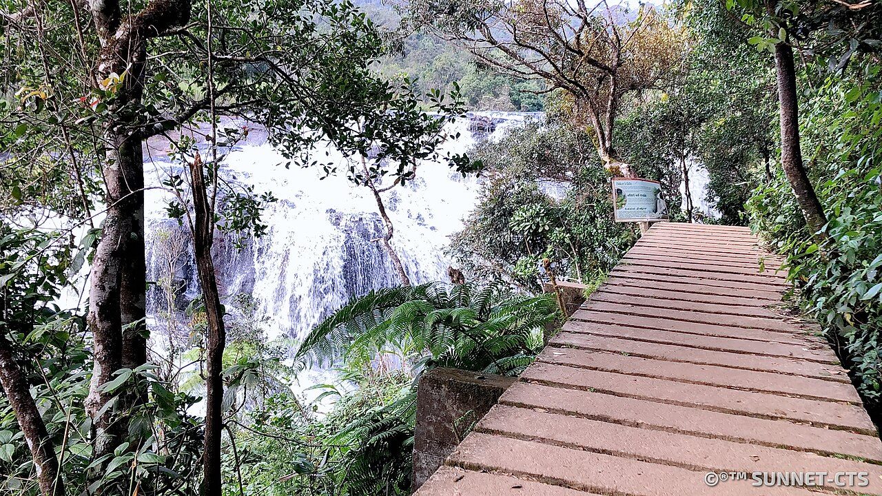
Baker's Falls is a 20-metre waterfall on the Belihul Oya inside Horton Plains National Park. It is named after the British explorer and hunter Sir Samuel Baker, who lived in Nuwara Eliya in the 19th century. The falls lie on the park's circular trail, down a steep side path through rhododendron and fern forest.
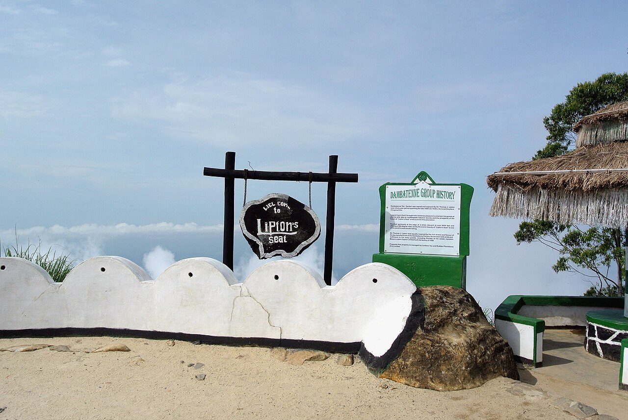
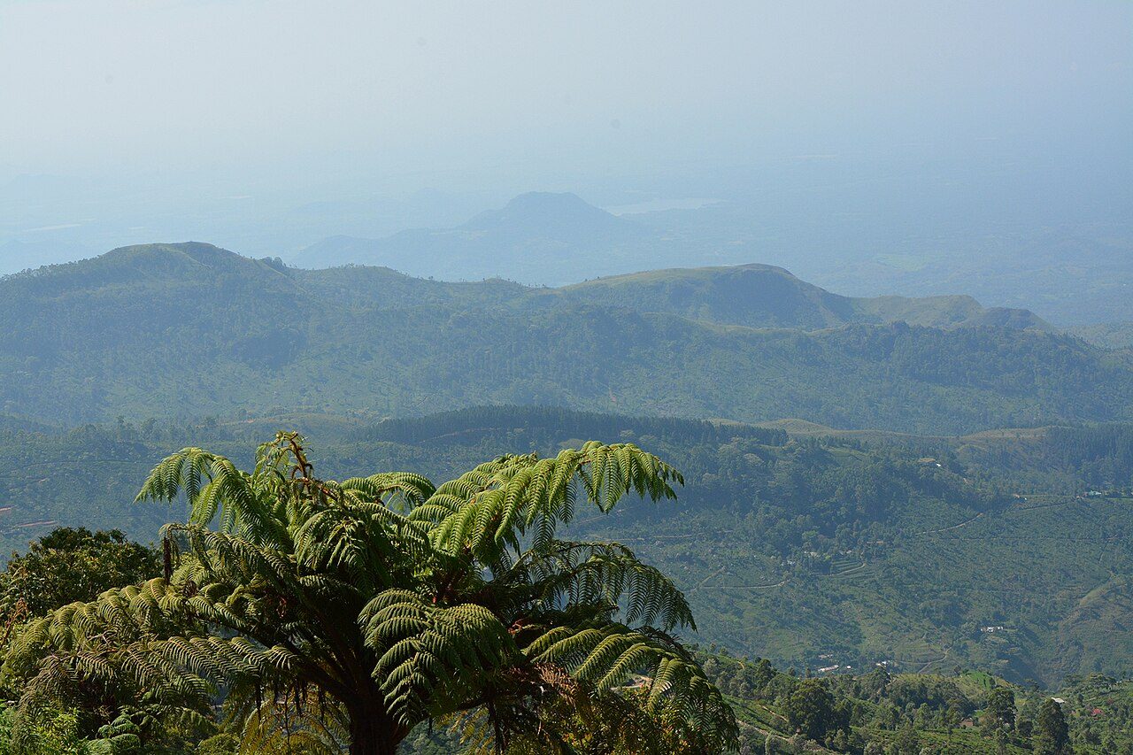
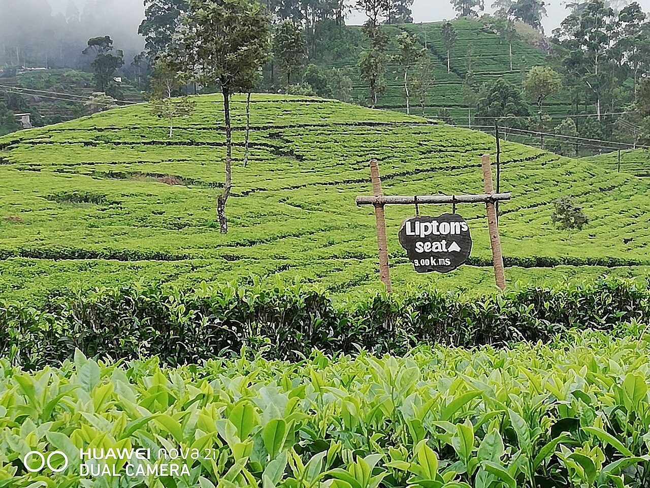
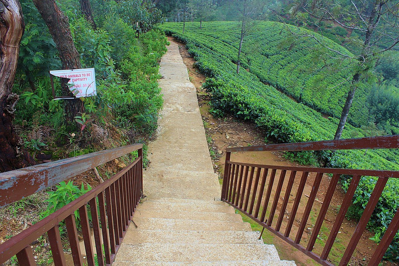
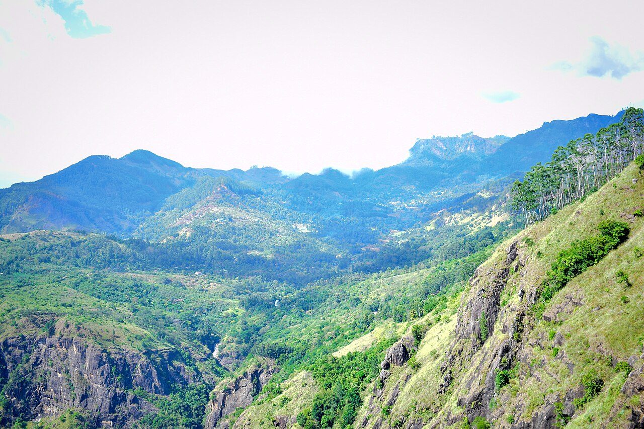
Lipton's Seat is a viewpoint at about 1,970 metres above Haputale, where the Scottish tea baron Sir Thomas Lipton is said to have sat to survey his estates. The road and path climb through the Dambatenne tea estate, past pluckers at work. On a clear morning the view covers several provinces; cloud often rolls in by mid-morning.
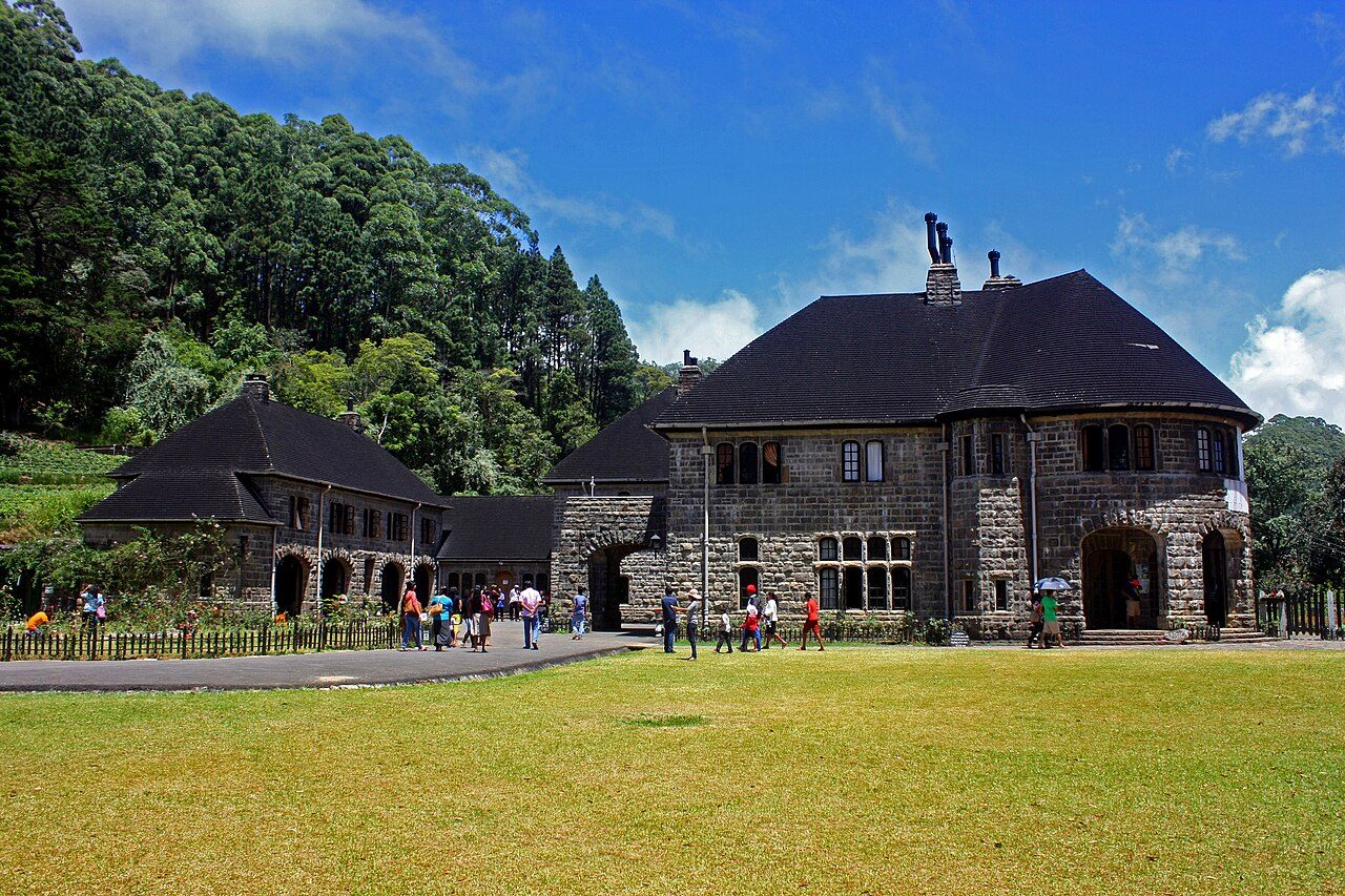
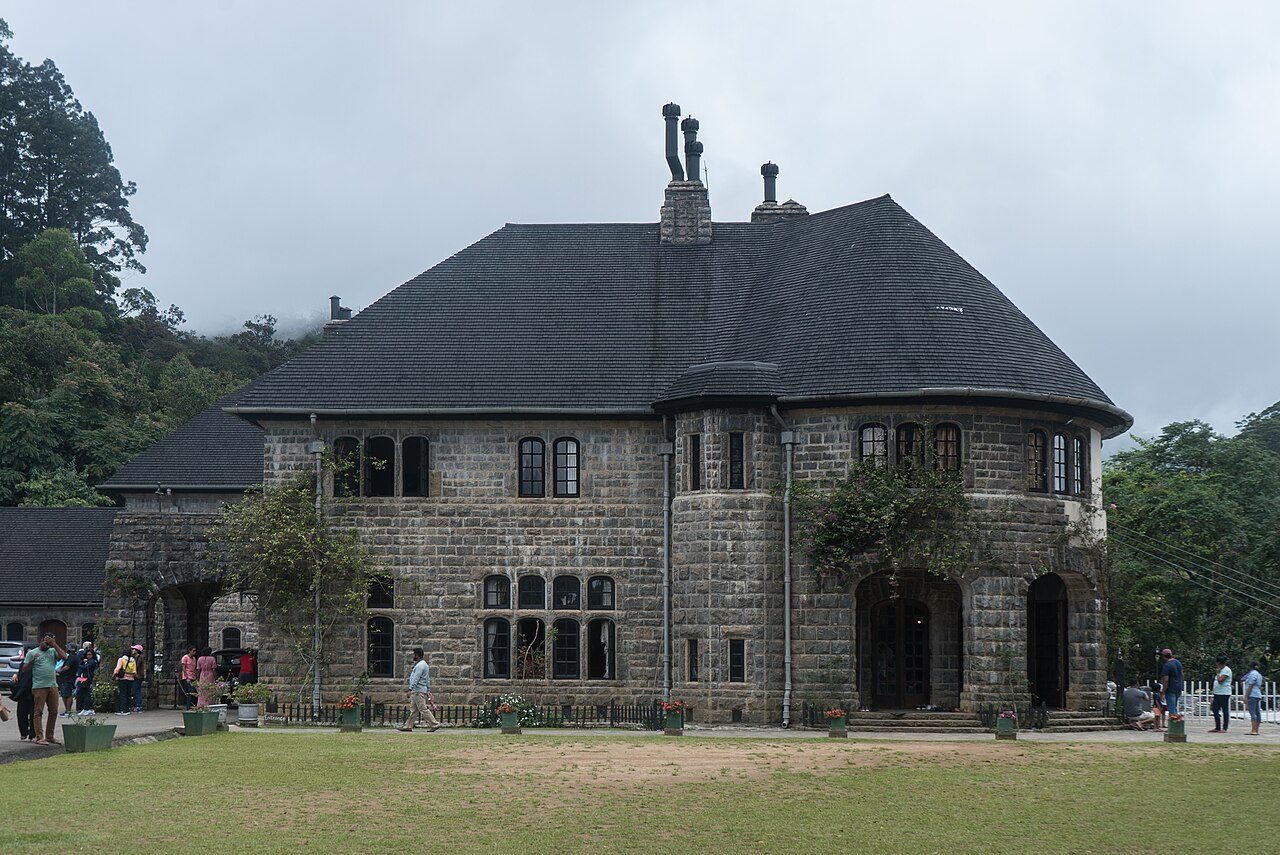
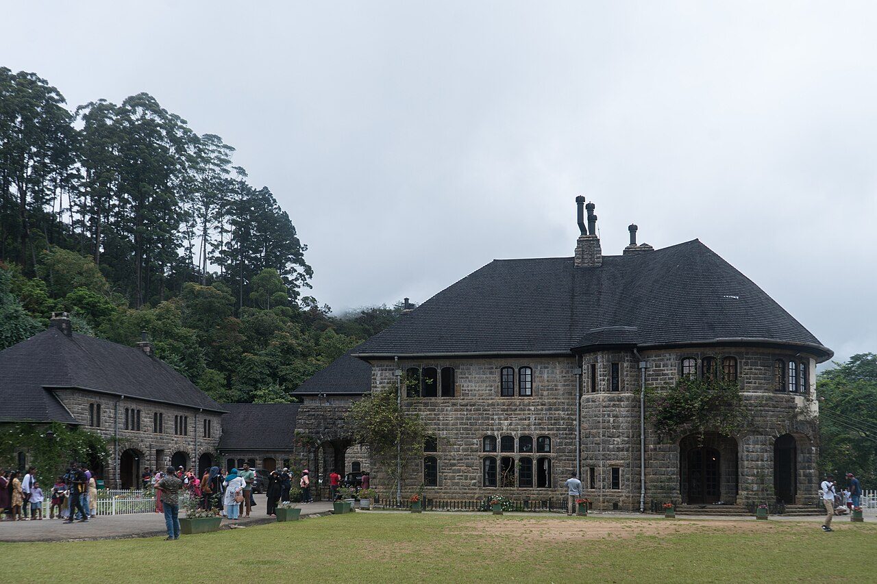
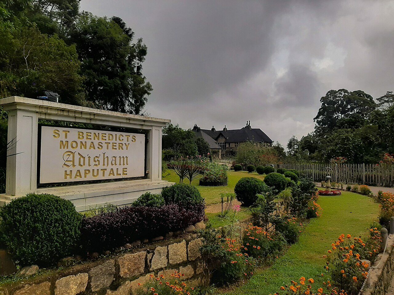
Adisham Bungalow near Haputale is a granite country house built in 1931 by the English planter Sir Thomas Villiers in the style of a Tudor manor and named after his home village in Kent. Since the 1960s it has been a Benedictine monastery, St. Benedict's. The library, living room and gardens are open to visitors on certain days.
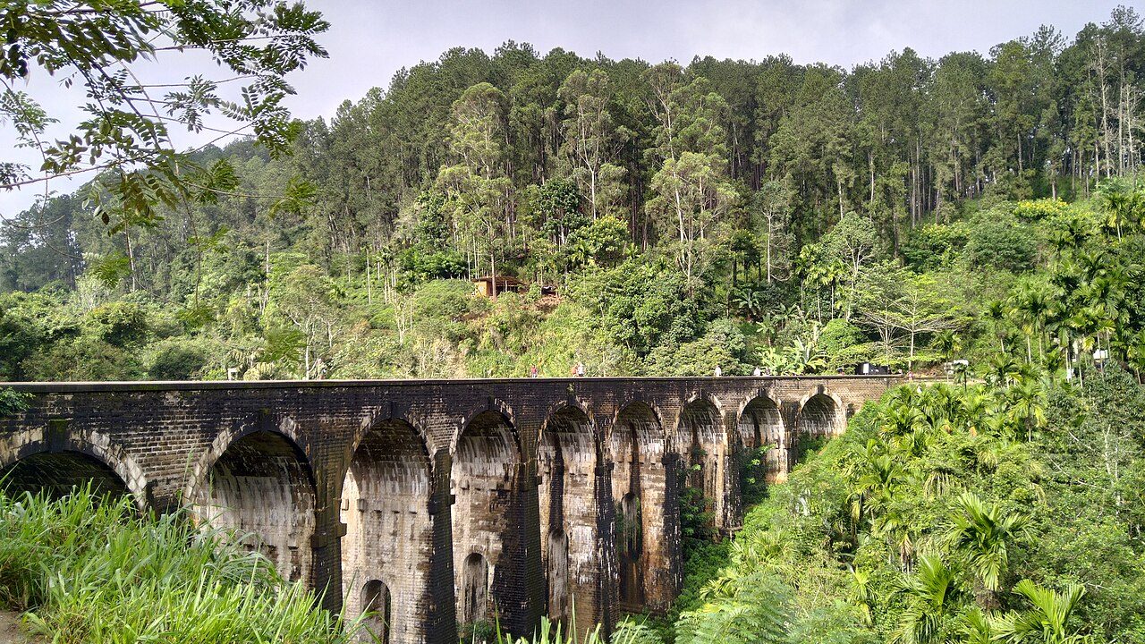
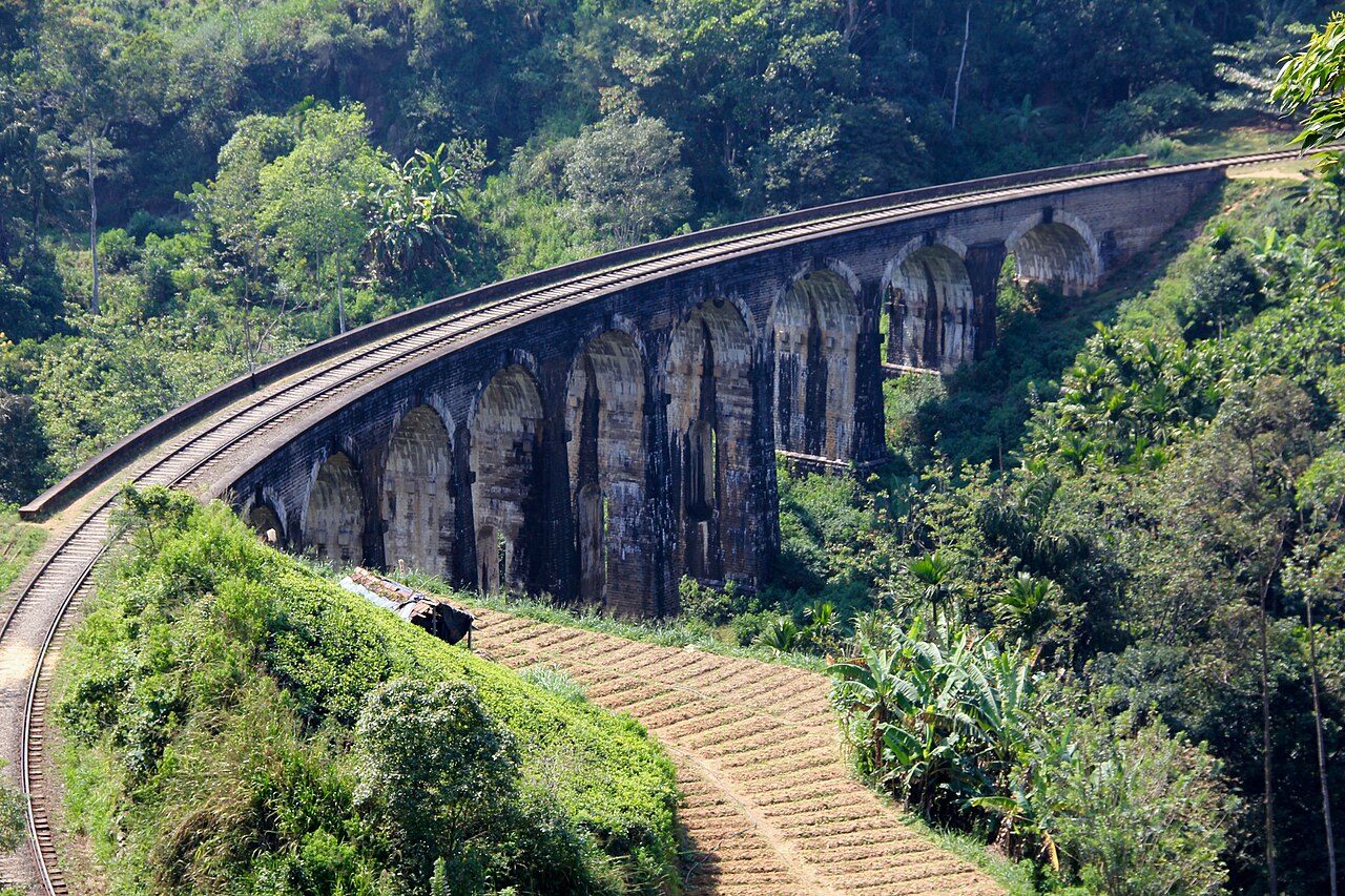
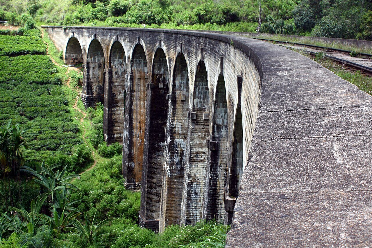
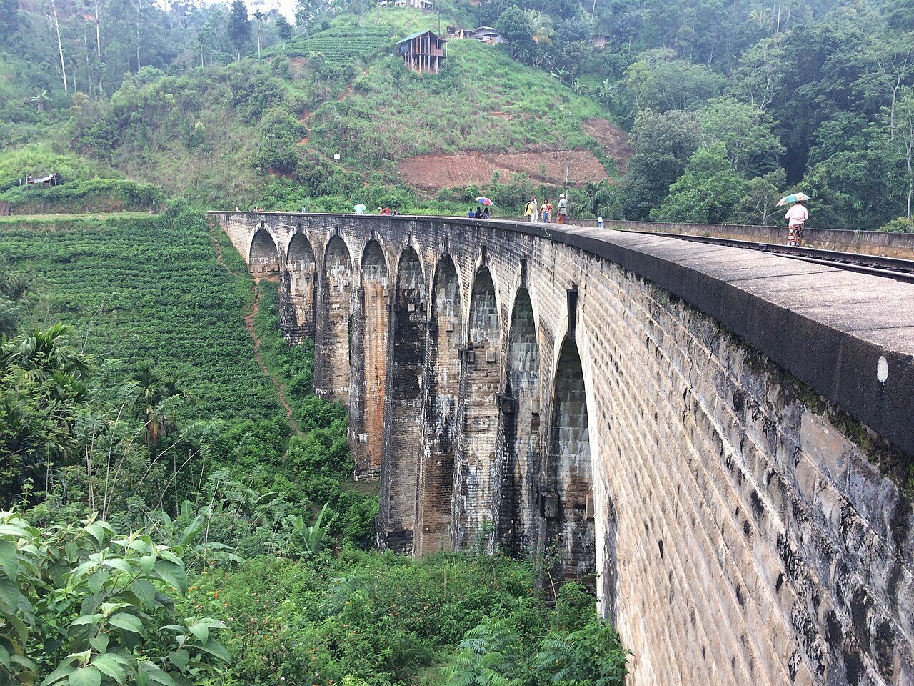
The Nine Arch Bridge spans a jungle gorge between Ella and Demodara stations on the hill country railway. Completed in 1921 in the British period, it is about 91 metres long and 24 metres high and was built entirely of stone, brick and cement, without steel. Visitors walk down through tea and forest to watch the blue trains curve across it.
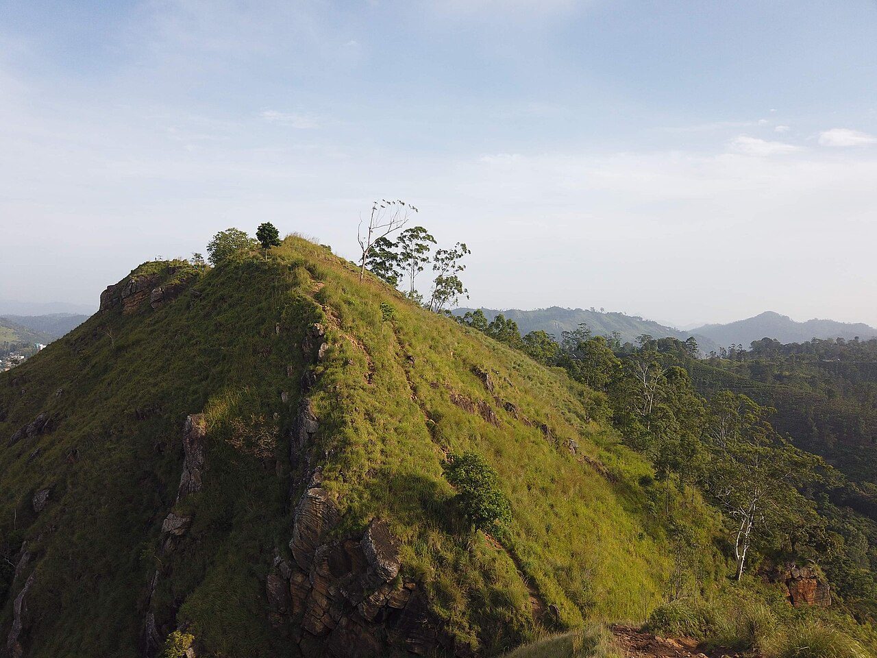
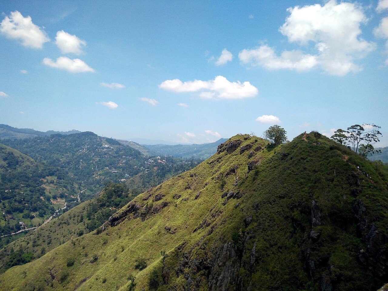
Little Adam's Peak is a pointed hill of about 1,141 metres just outside Ella, named for its likeness to the sacred Adam's Peak. An easy walk of under an hour leads through a tea estate and up steps to the top, with views of Ella Rock, the Ella Gap and the plains to the south. It is the gentlest of the Ella hikes.
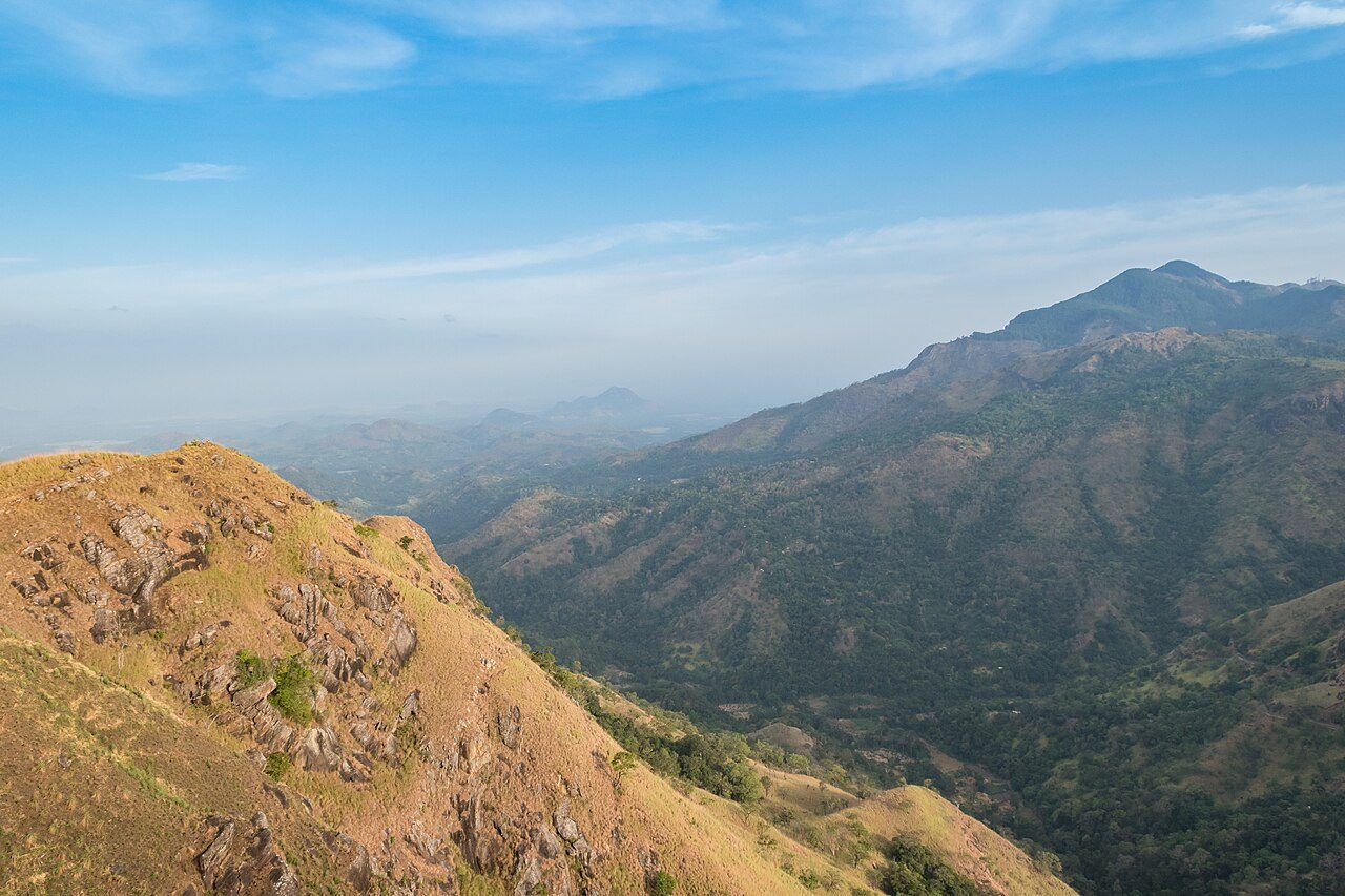
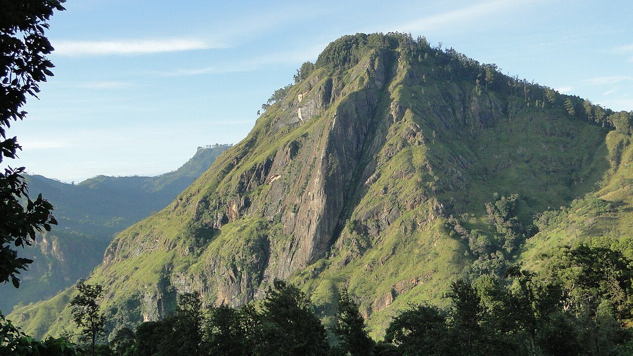
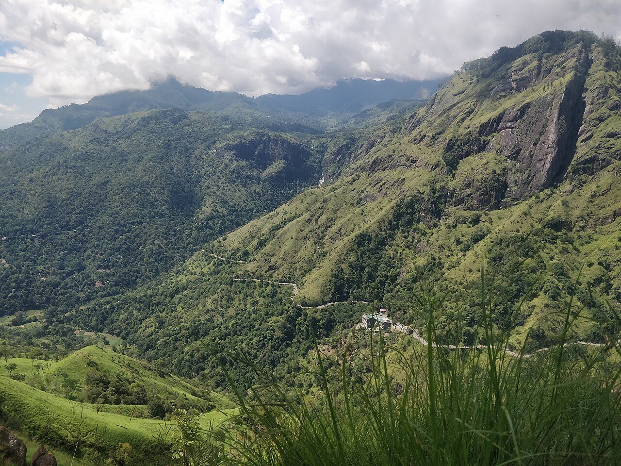
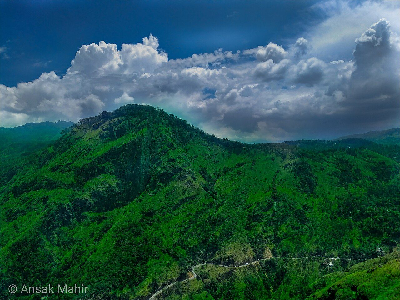
Ella Rock is the cliff-faced mountain that dominates the southern side of the Ella Gap. The usual route follows the railway line from Ella towards Kithalella station, then climbs through tea fields and eucalyptus forest to the edge. The return hike takes about four hours. The path is unmarked in places, so start early or go with a guide.
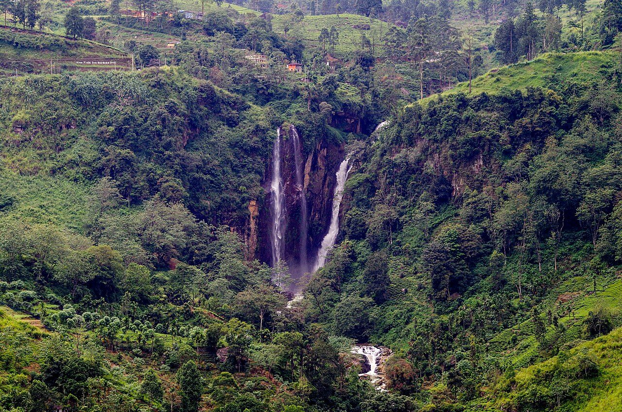
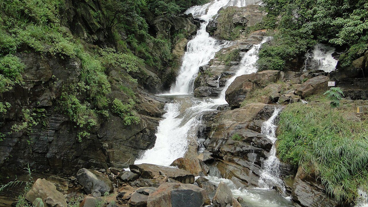
Ravana Falls drops in several tiers beside the main road about 6 km below Ella, on the way to Wellawaya. It is about 25 metres high and widest in the rainy season. The falls are named after Ravana, king of Lanka in the Ramayana, who is said to have hidden Sita in a cave nearby. Rocks at the base are slippery.
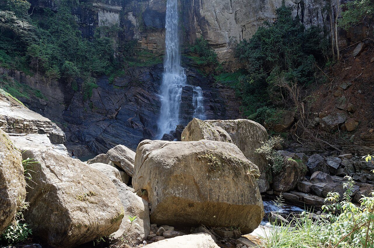
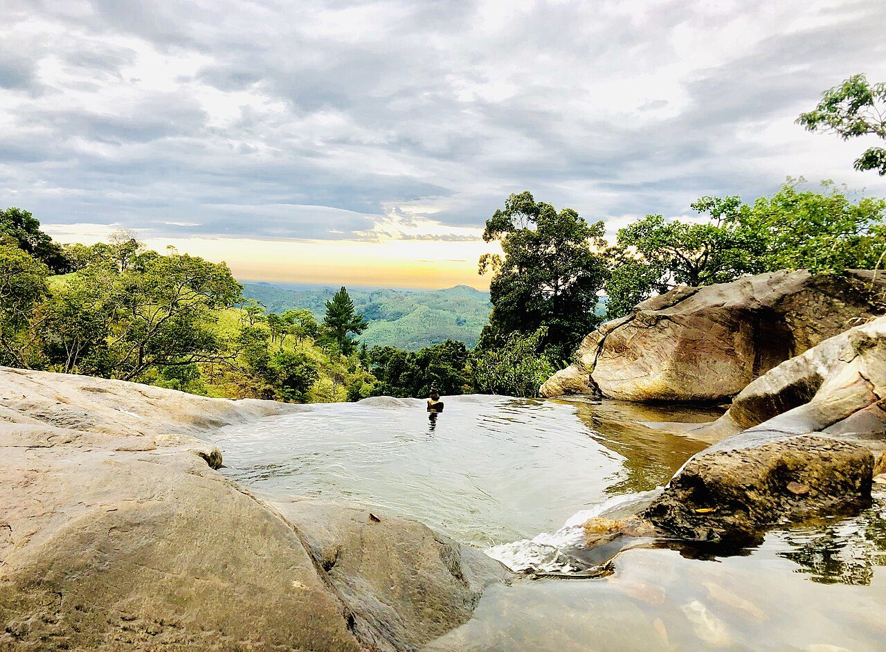
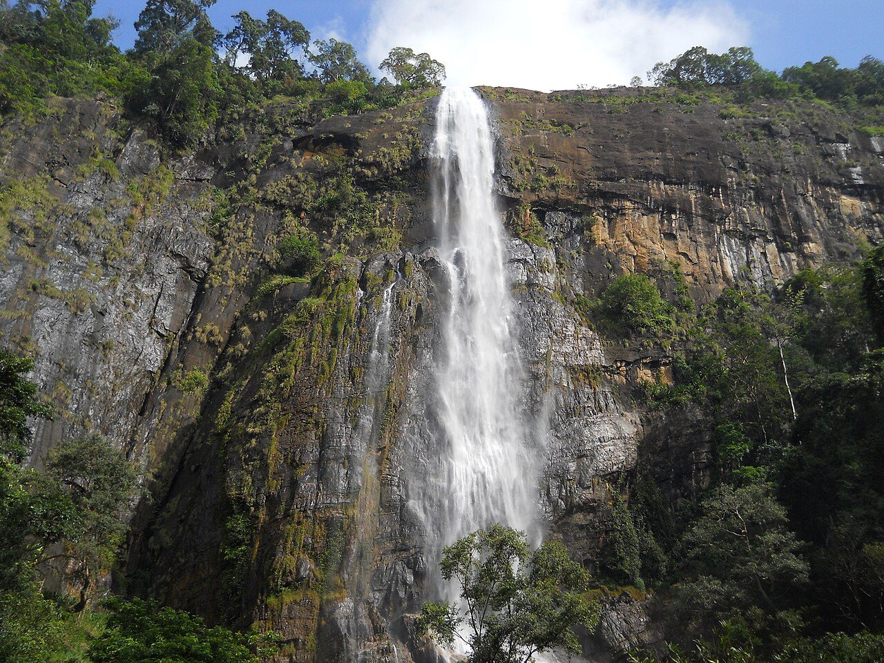
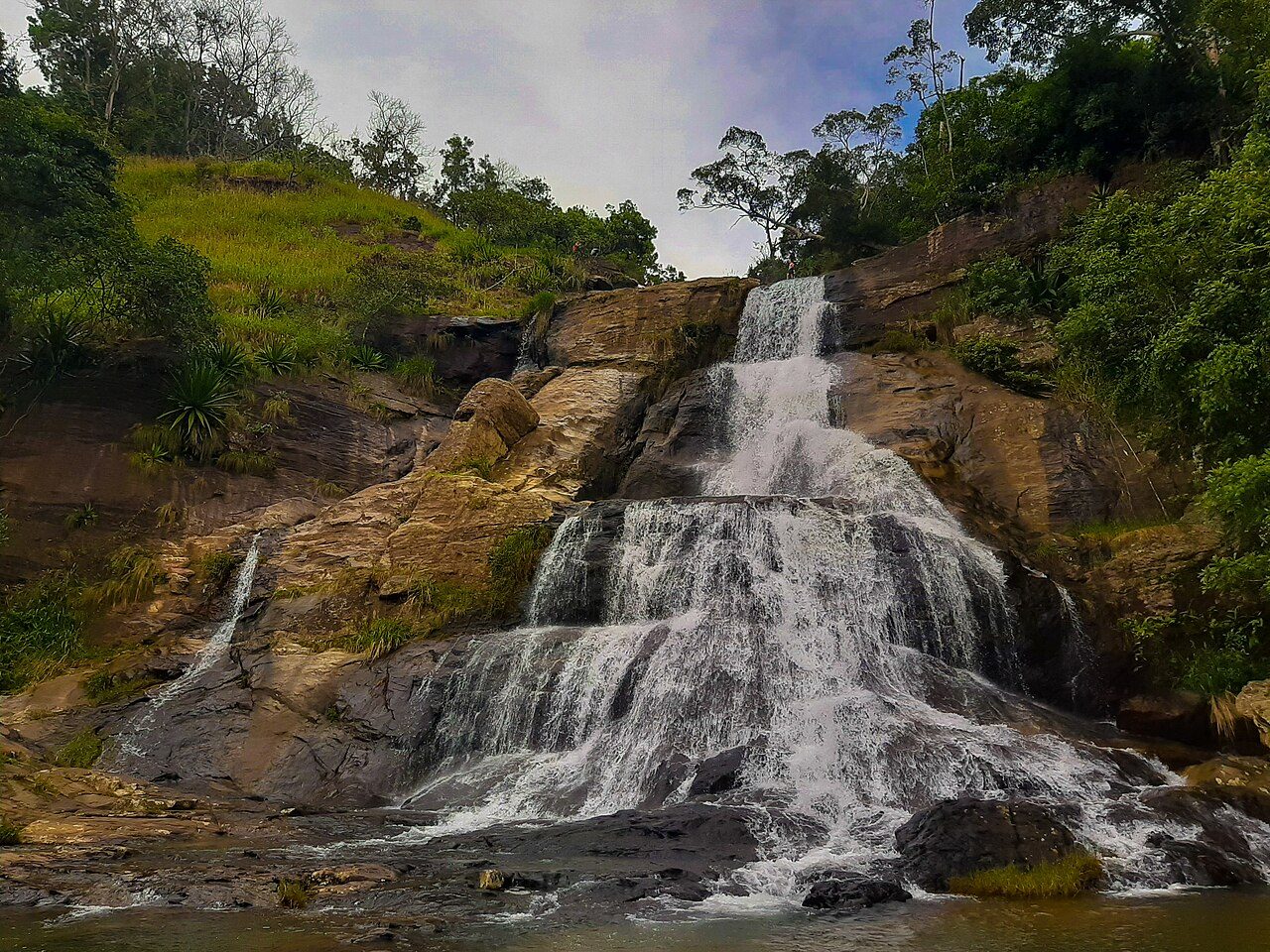
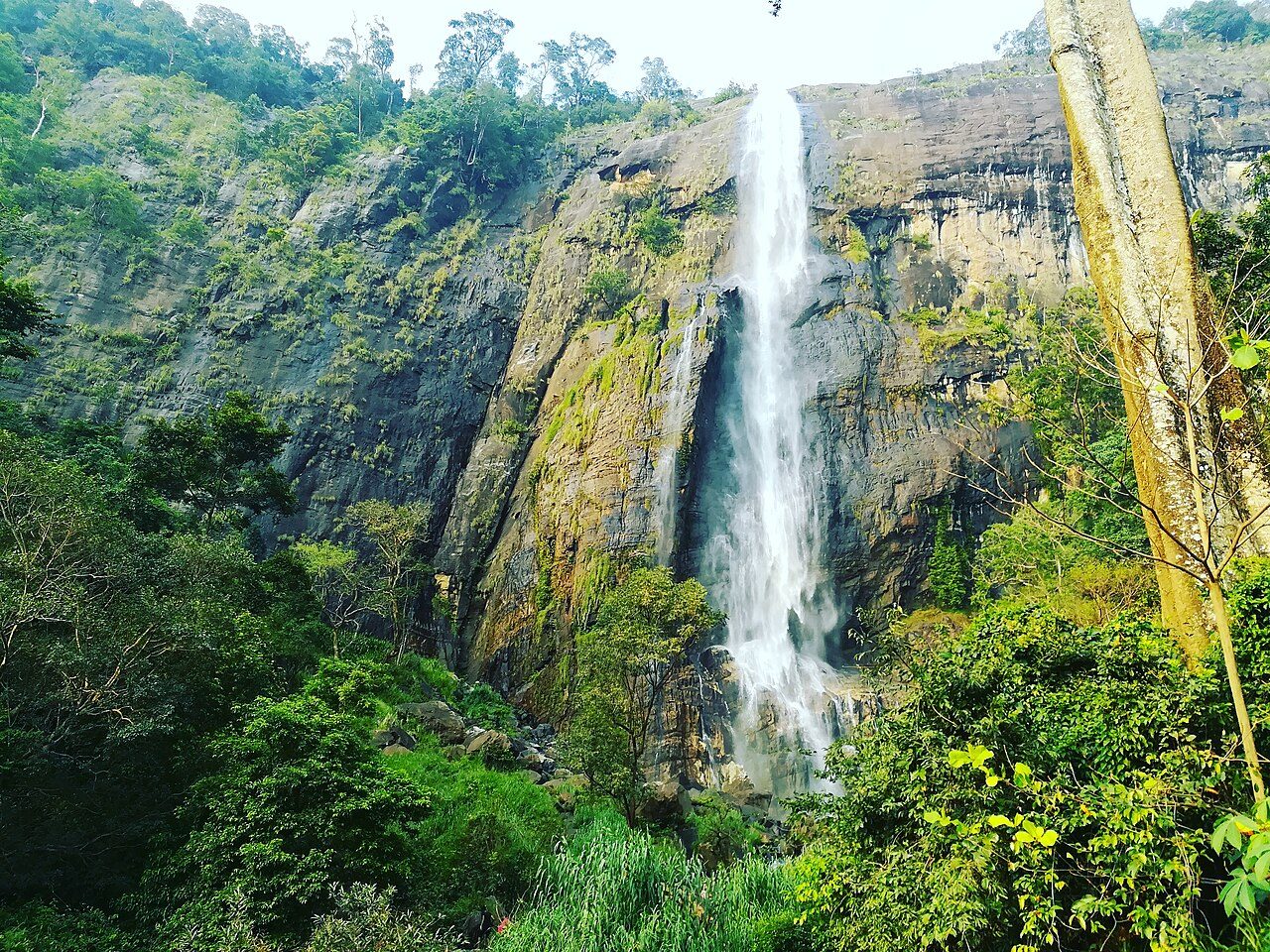
Diyaluma Falls, near Koslanda, drops about 220 metres down a cliff and is the second highest waterfall in Sri Lanka. It can be seen from a bridge on the main road, but many visitors hike to the top, where the stream forms a series of natural rock pools before plunging over the edge. Take care near the edge, especially after rain.
Best weather: Jun – AugHeavy rain: Oct – Nov
Seasons from 20 years of NASA POWER climate data.
Was this trip blog helpful?
0
0
Ready to follow this route?
Copy all 23 stops into your trip plans in the app.
 WaTrips