Shillong and Cherrapunji in 4 Days: Lakes, Canyons, Caves and Root Bridges
4 DAYS16 placesby WaTrips
Umiam Lake, Shillong's lakes and Elephant Falls, Laitlum and Mawphlang, the falls and caves of Sohra, and the Double Decker root bridge.
Meghalaya, the abode of clouds, is green, wet and beautiful. Day one passes Umiam Lake and explores Shillong: Ward's Lake, the Cathedral, Shillong Peak and Elephant Falls. Day two visits the Laitlum Canyons, the Mawphlang sacred forest and Mawsynram, one of the wettest places on Earth. Day three is Sohra (Cherrapunji), with Nohkalikai and Seven Sisters falls, the Mawsmai and Arwah caves, and Dainthlen and Wei Sawdong falls. Day four walks down about 3,000 steps to the Double Decker Living Root Bridge at Nongriat. October to May is best; the falls are fullest in the monsoon.
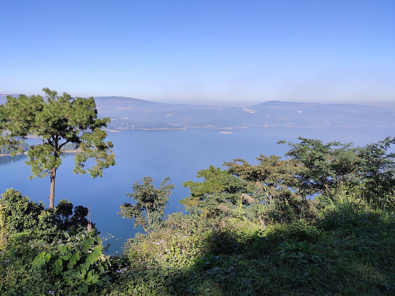
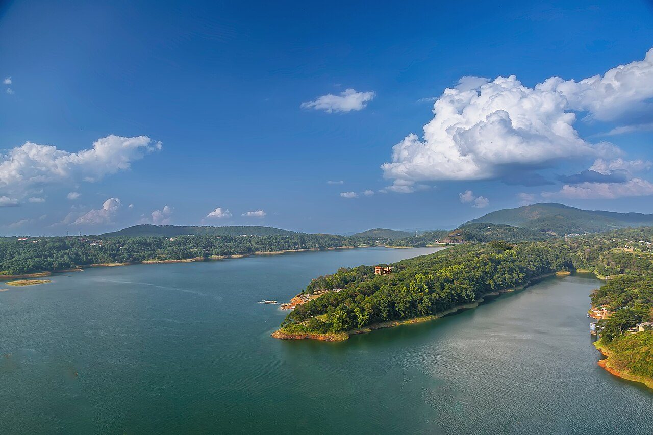
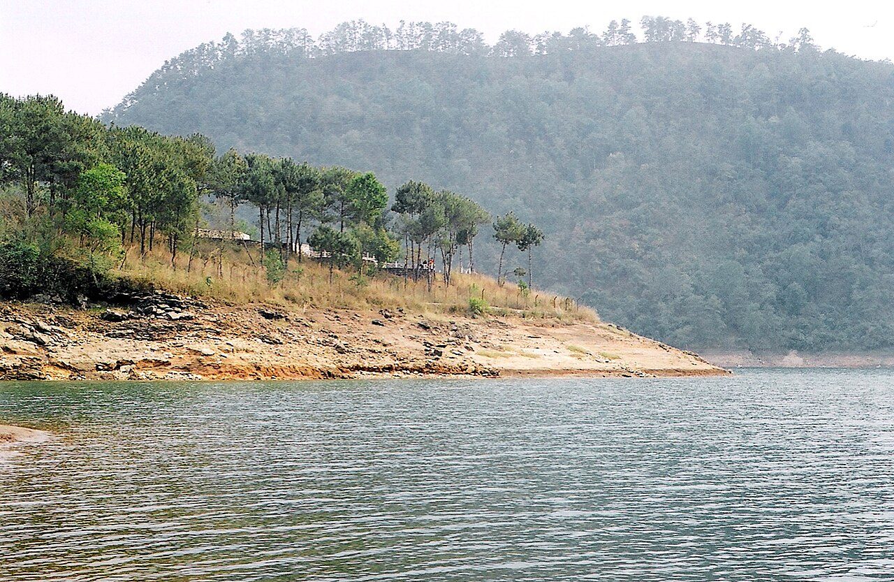
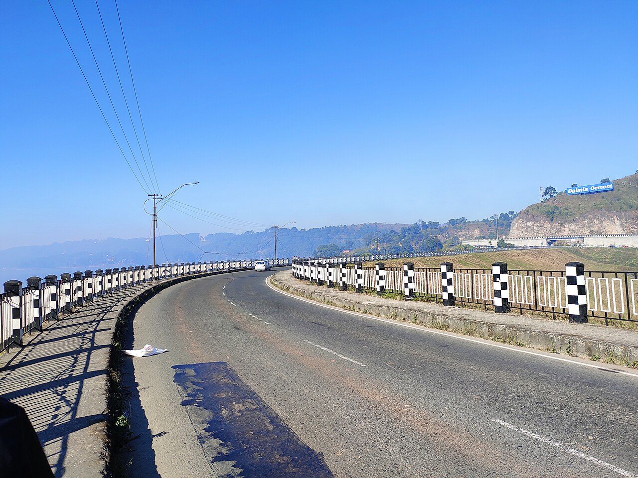
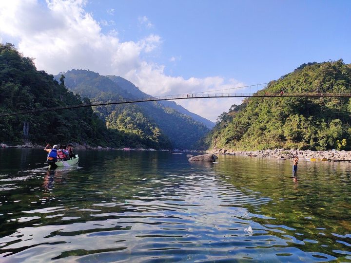
Umiam Lake, known locally as Barapani, is a large reservoir about 15 km north of Shillong on the Guwahati road. It was created in the early 1960s by damming the Umiam river for hydroelectric power. Pine-clad hills ring the blue water, and the roadside viewpoint, water sports complex and lakeside park are popular stops.
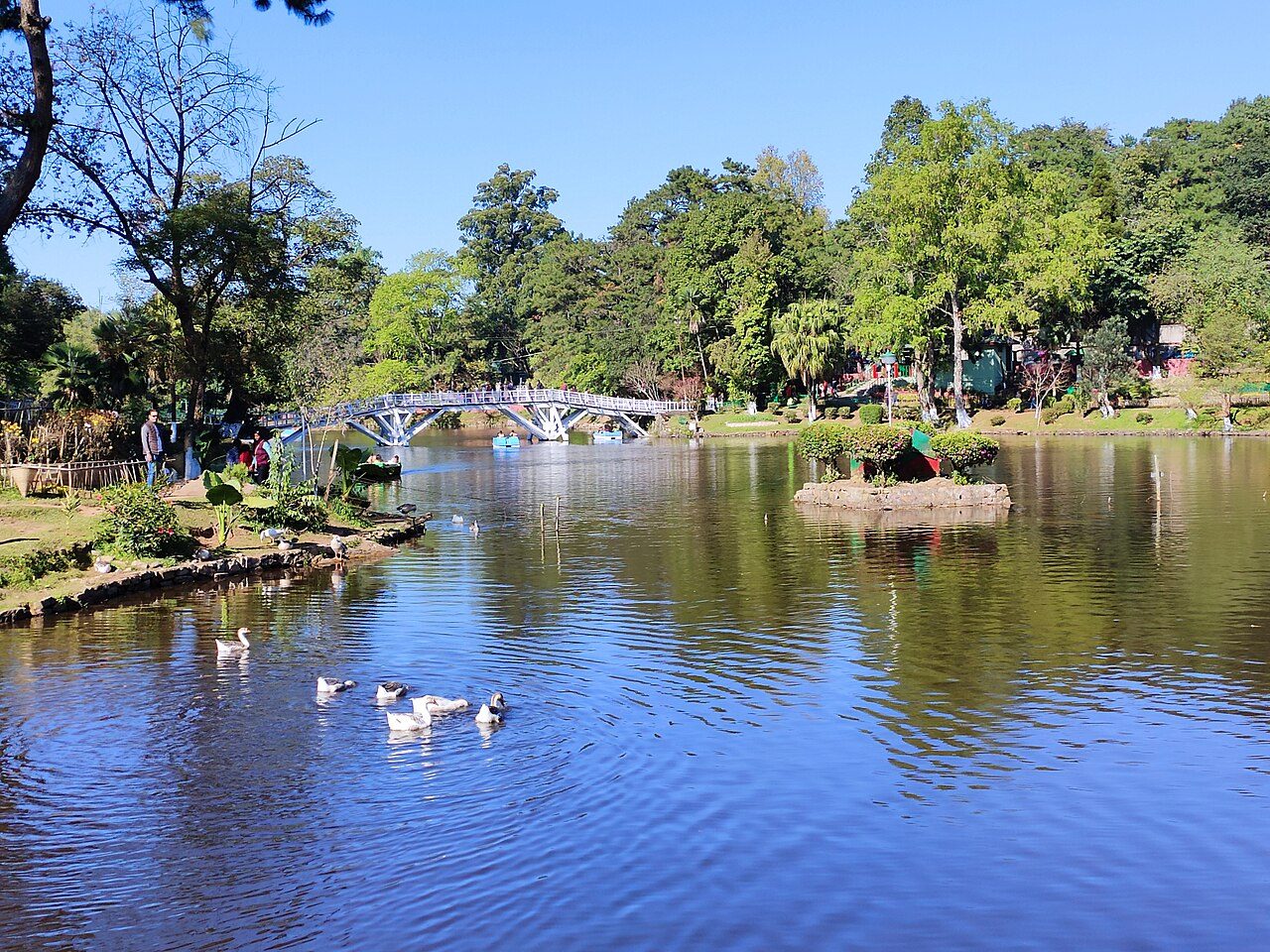
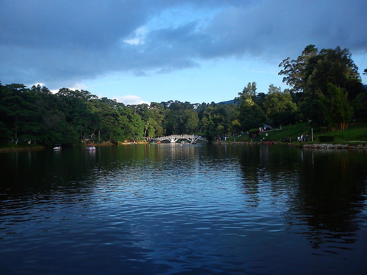
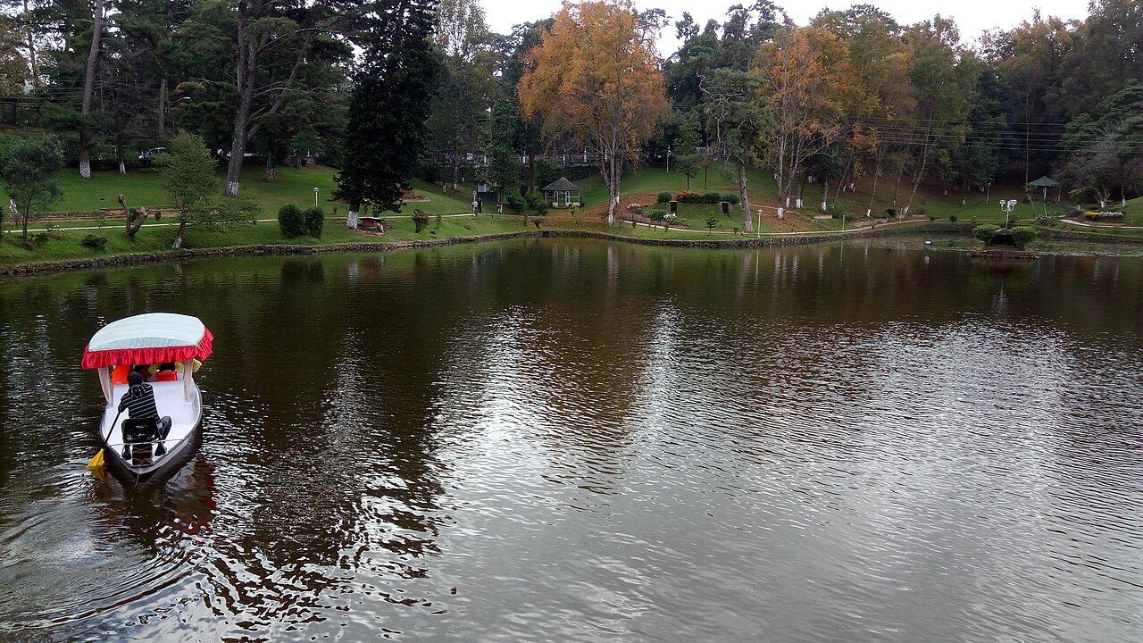
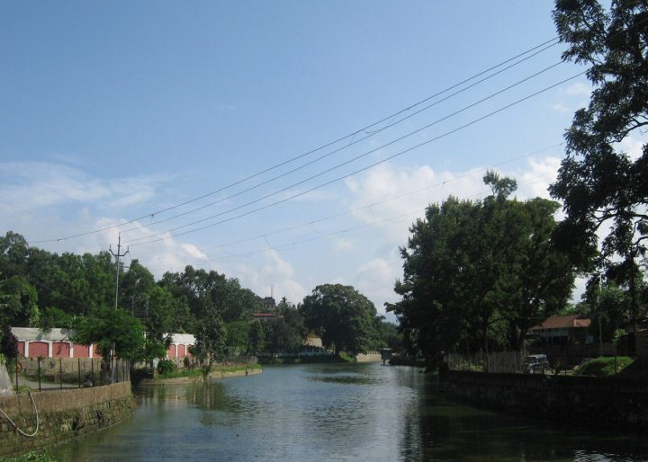
Ward's Lake is a horseshoe-shaped artificial lake in the centre of Shillong, laid out in the 1890s and named after Sir William Ward, then Chief Commissioner of Assam. A white wooden bridge crosses the water, where visitors feed the fish, and paths wind through flower beds and lawns. Paddle boats can be hired.
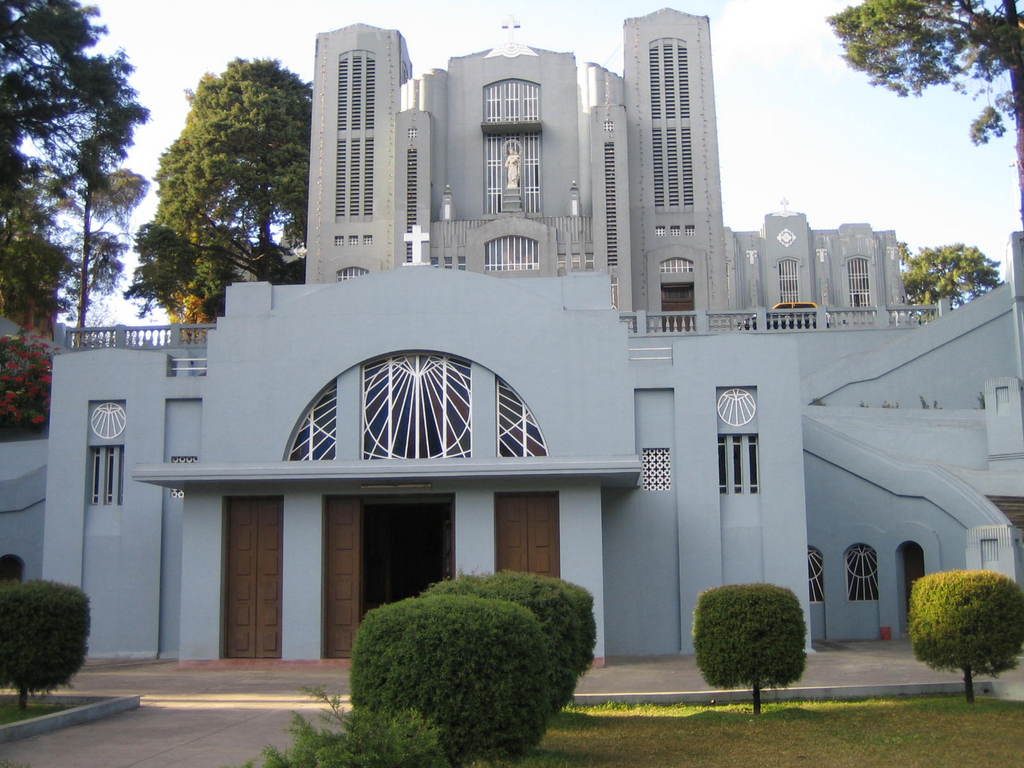
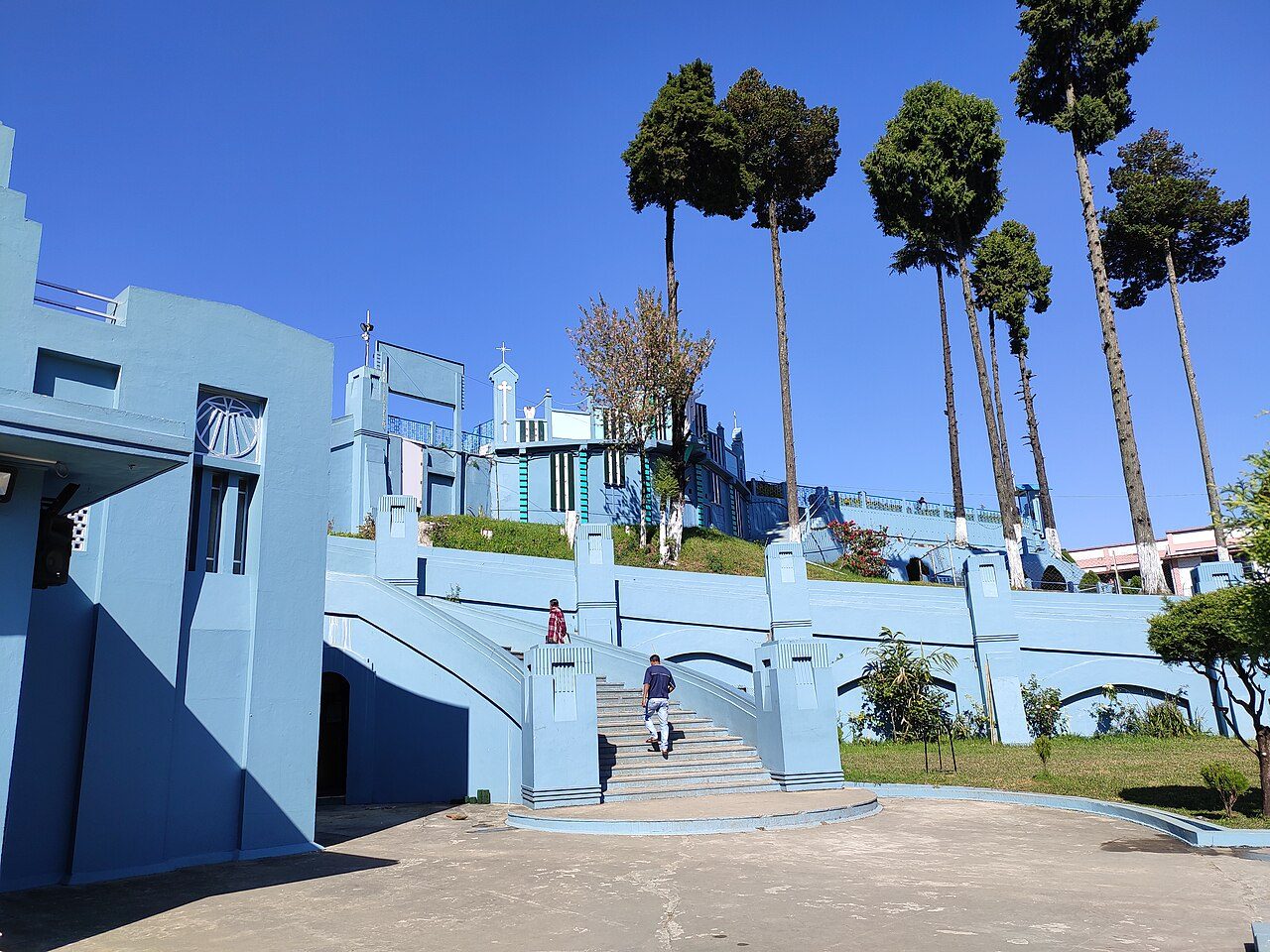
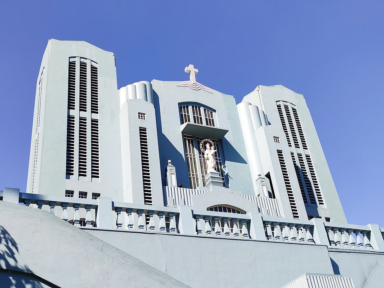
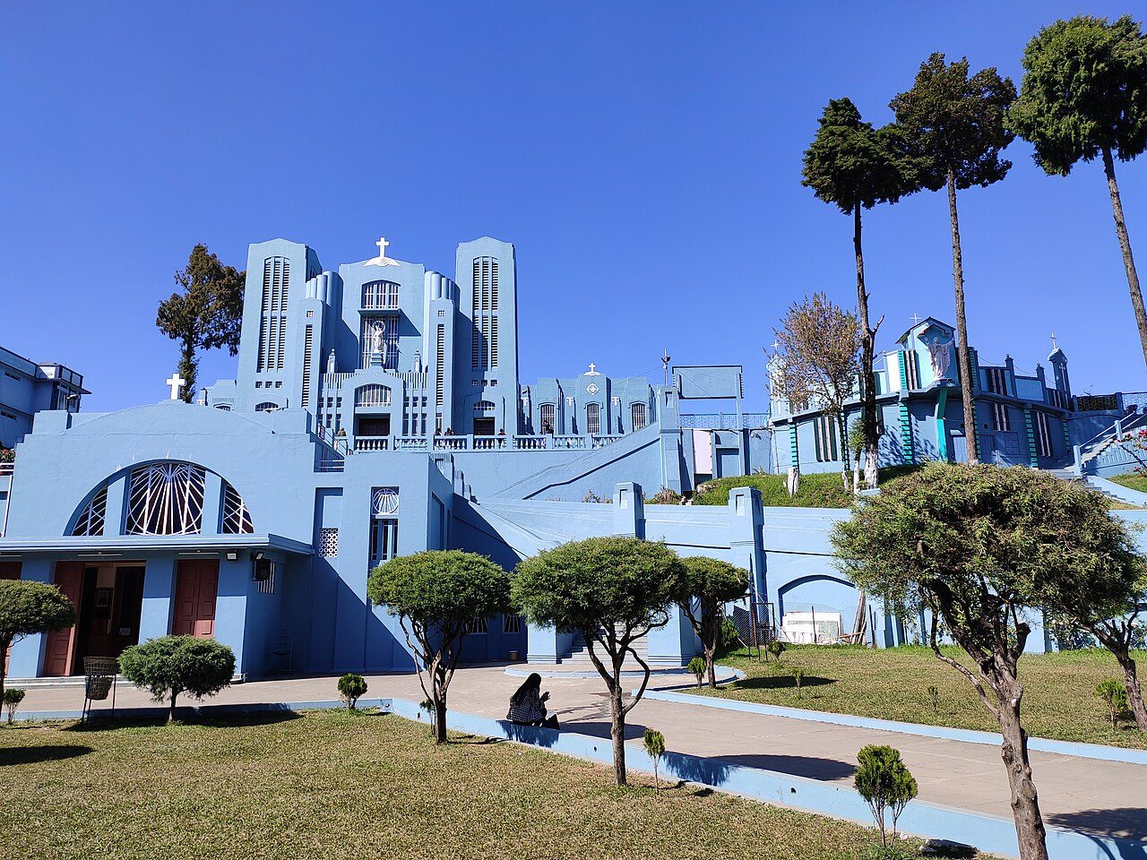
The Cathedral of Mary Help of Christians stands on a slope in the Laitumkhrah area of Shillong and is the seat of the Catholic Archbishop. The present building, with tall arches and stained glass, was built in the 1930s after fire destroyed the earlier church. It was designed to withstand earthquakes, and its blue-and-white front is a city landmark.
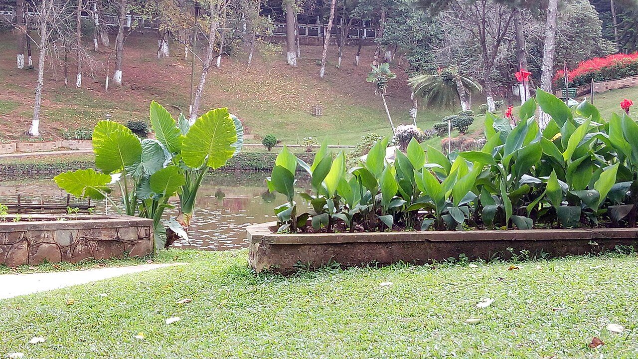
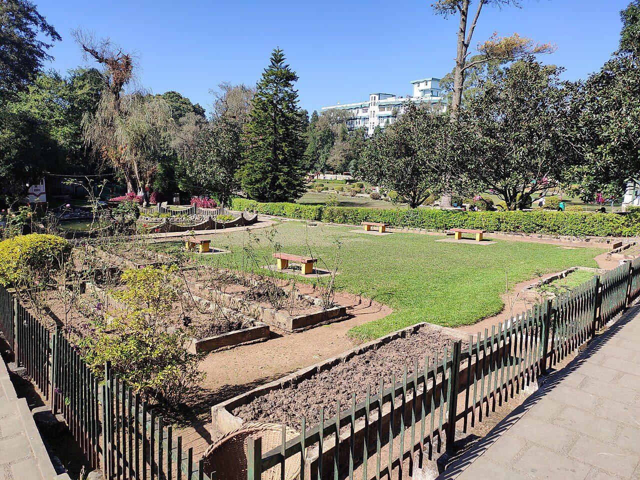
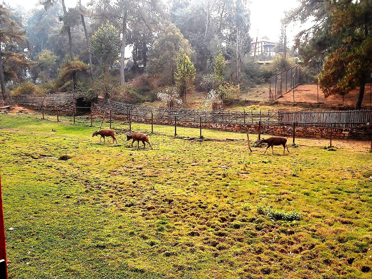
Lady Hydari Park is a landscaped garden in central Shillong named after the wife of Sir Akbar Hydari, the first Indian Governor of Assam. Laid out in a Japanese-inspired style, it has ponds, willows, rose beds and neat lawns, along with a small zoo and a children's play area. It is at its best when the flowers bloom in spring.
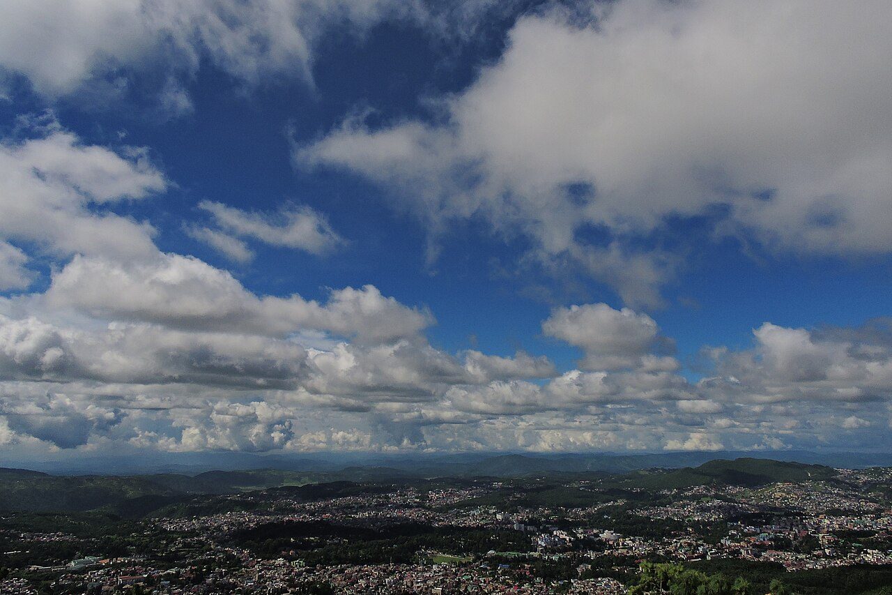
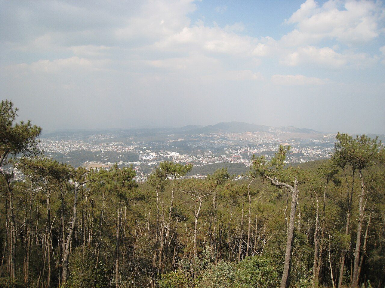
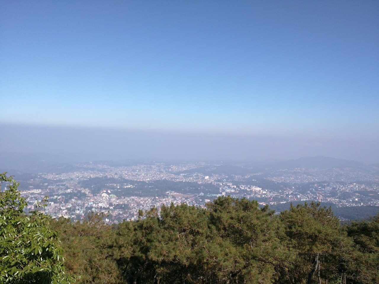
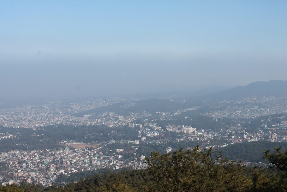
Shillong Peak, at about 1,965 metres, is the highest point in Meghalaya and lies around 10 km from the city. A viewing platform looks across the whole of Shillong, the surrounding hills and, on clear days, the plains of Bangladesh. The peak sits within an Air Force area, so carry identification and expect entry checks.
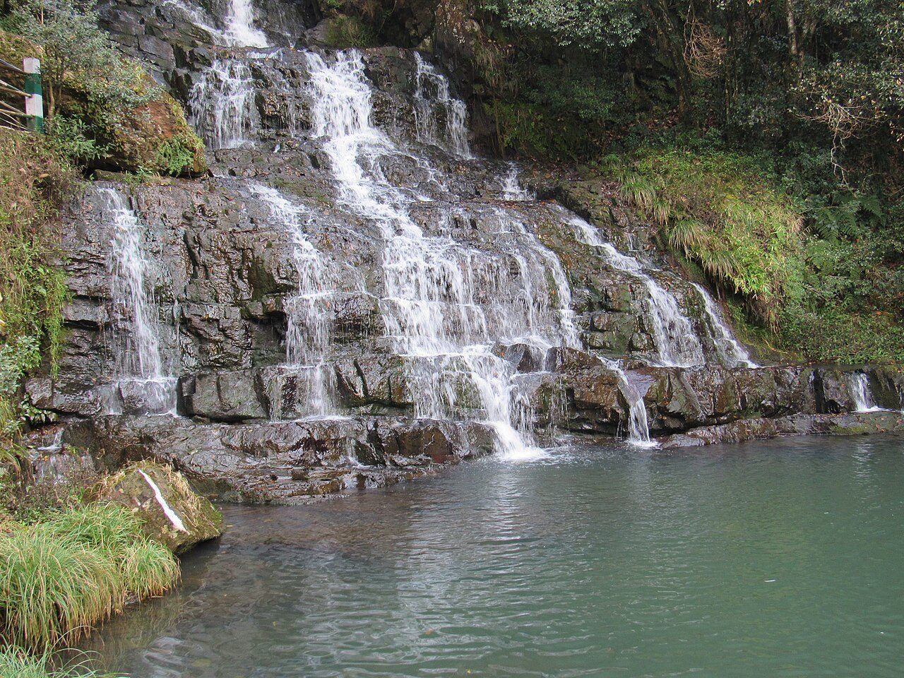
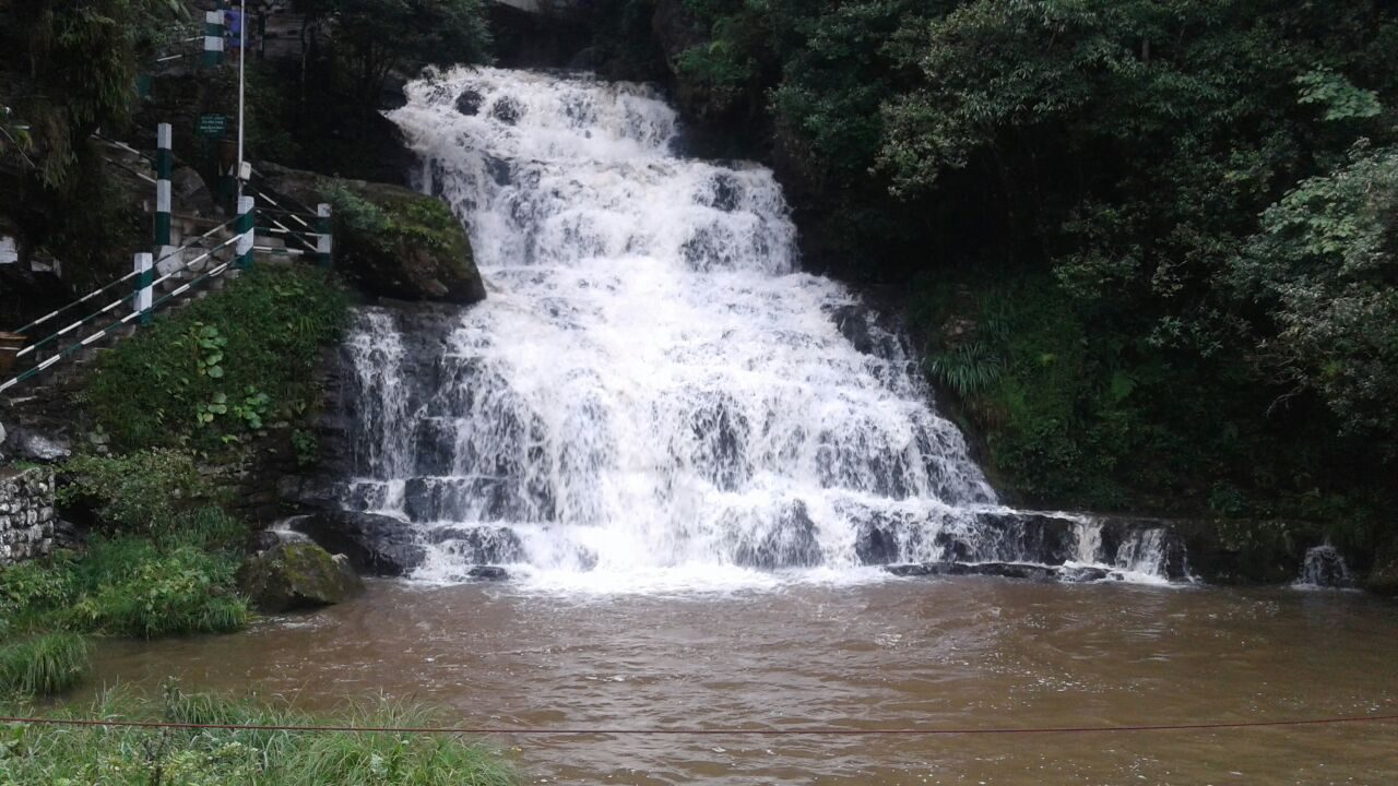
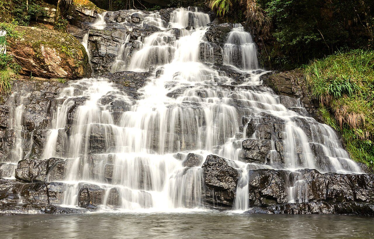
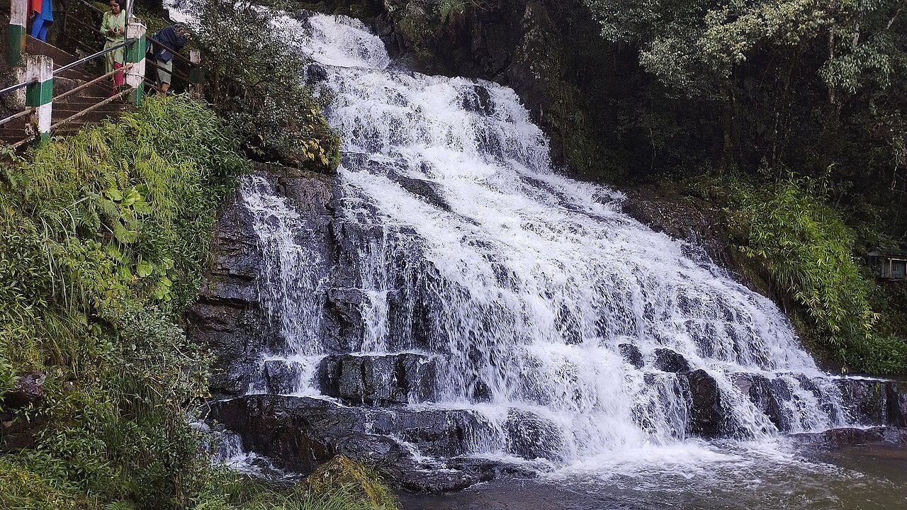
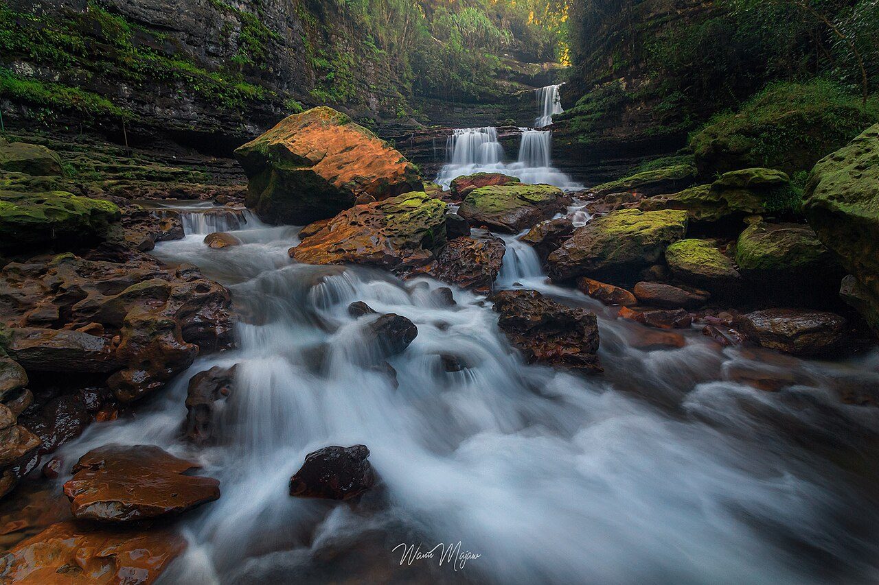
Elephant Falls lies about 12 km from Shillong and drops in three steps through ferny rocks. The Khasi name is Ka Kshaid Lai Pateng Khohsiew, the three-step waterfall; the British named it after an elephant-shaped rock that was destroyed in the 1897 earthquake. A stairway leads down to each level, and the flow is fullest in the monsoon.
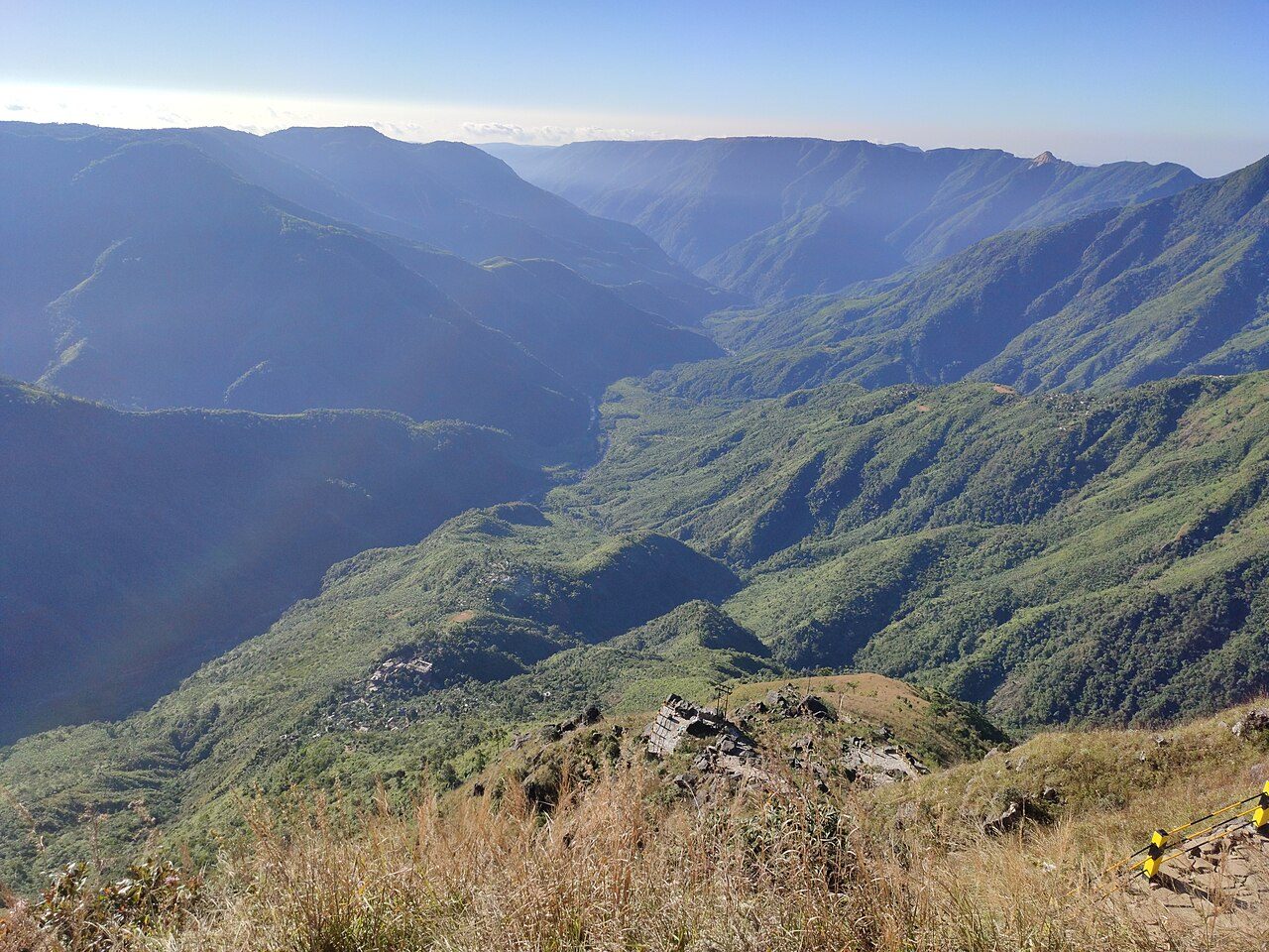
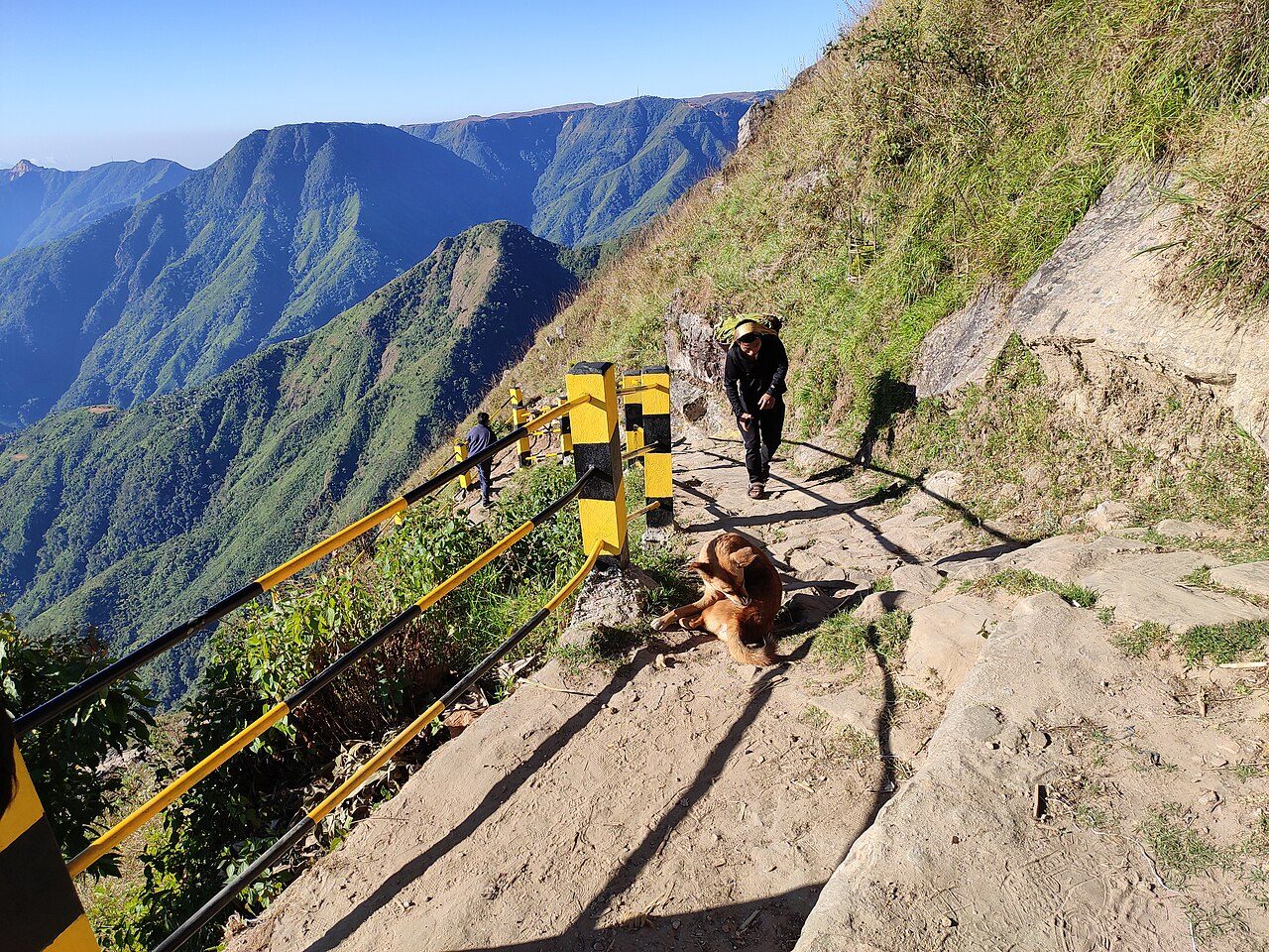
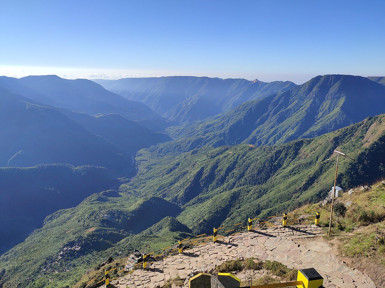
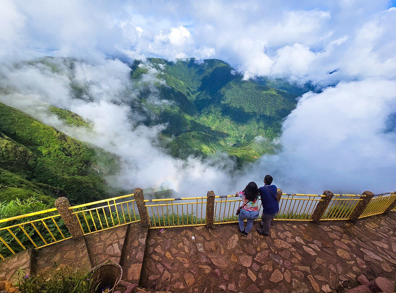
Laitlum Canyons, about 25 km from Shillong, is a grassy plateau that ends suddenly at the rim of a deep gorge. The Khasi name means the end of the hills. A steep stone stairway of several thousand steps drops to Rasong village far below. Clouds often roll through the valley, so mornings on clear days give the best views.
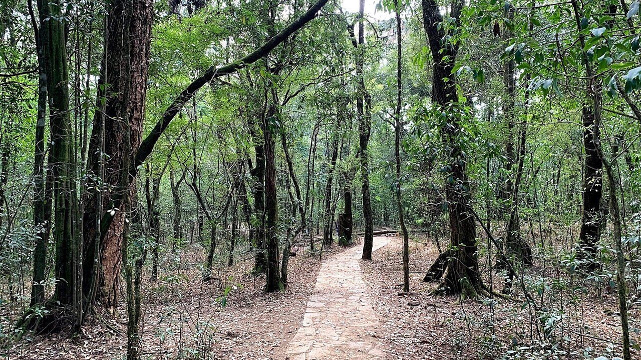
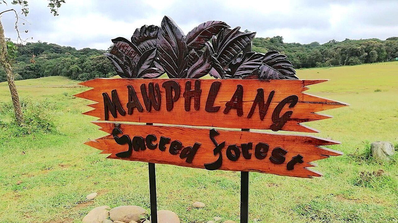
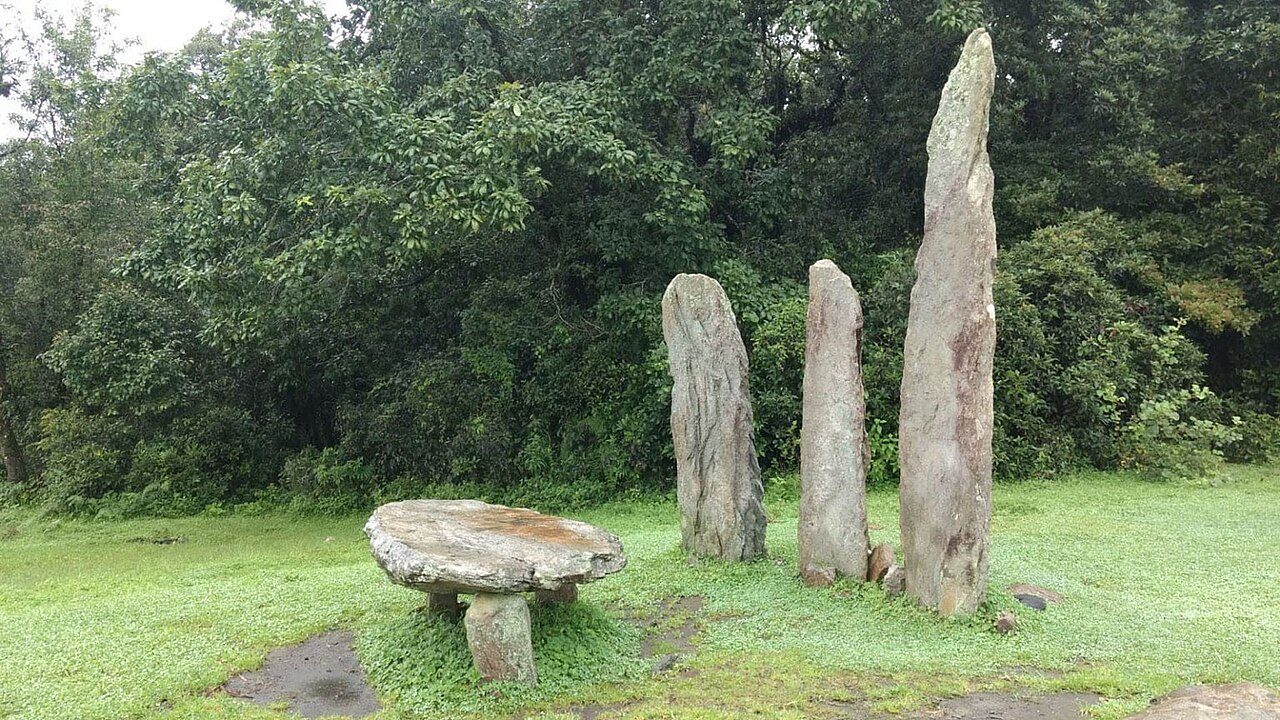
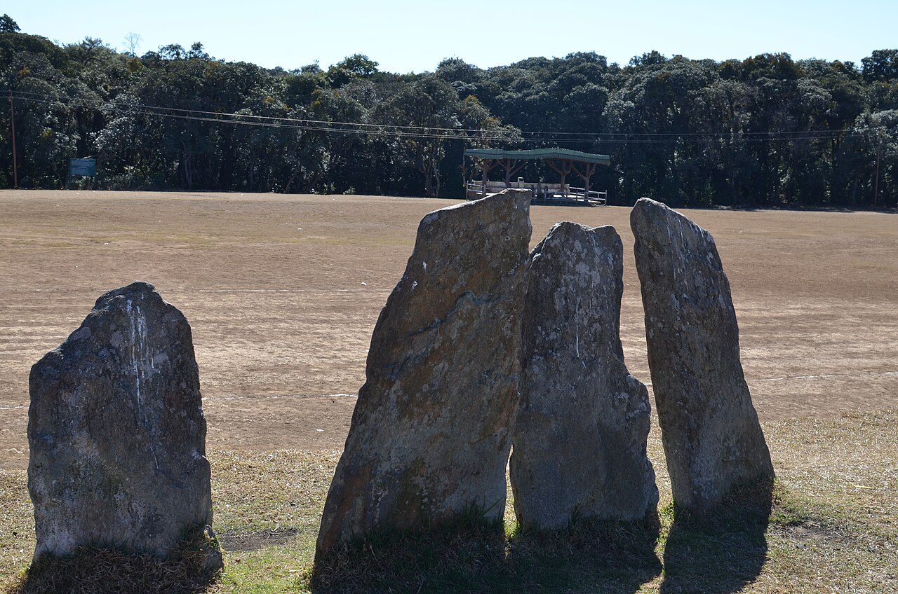
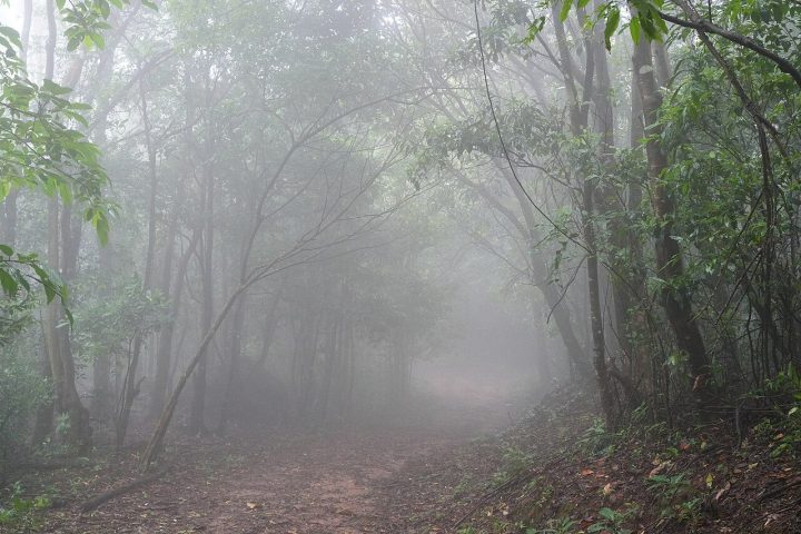
Mawphlang Sacred Grove, about 25 km from Shillong, is an ancient forest protected for centuries by Khasi religious custom. Nothing, not even a dead leaf, may be taken out. Local guides lead walks past old monoliths used in rituals, moss-covered trees, orchids and medicinal plants. A Khasi heritage village stands just across the meadow.
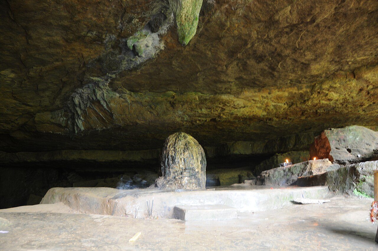
Mawsynram, in the East Khasi Hills, is regarded as one of the wettest places on Earth, with average annual rainfall of about 11,800 mm. Villagers use shell-shaped rain covers called knup while working in the fields. Just outside the village is Mawjymbuin Cave, where a large stalagmite shaped like a Shiva lingam draws many pilgrims.
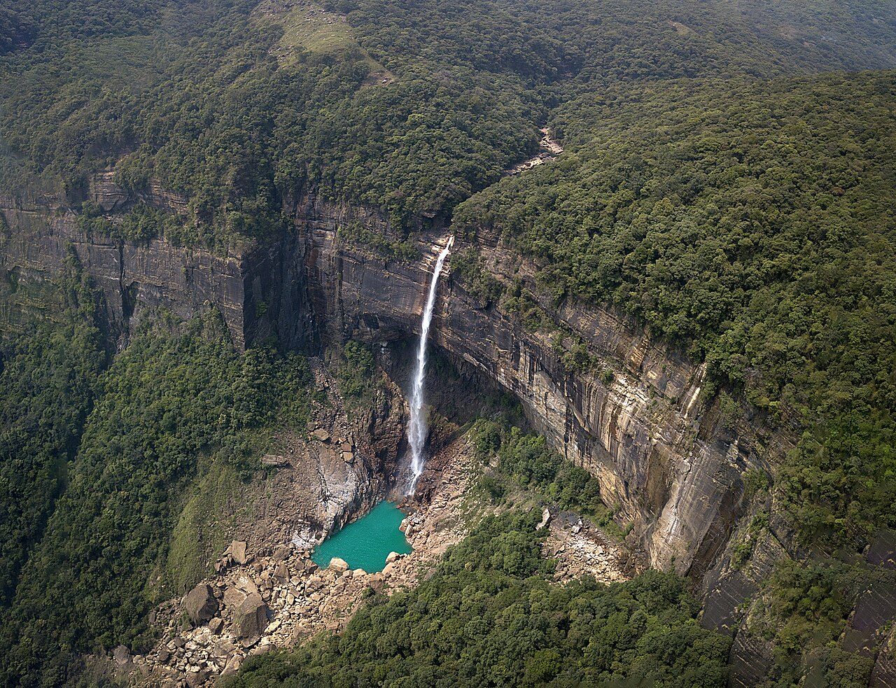
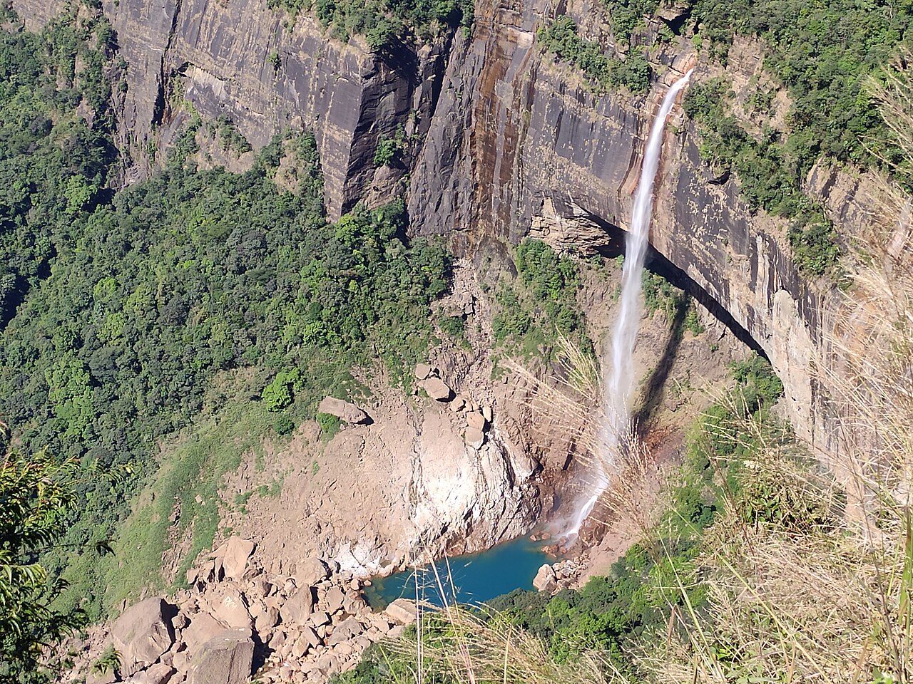
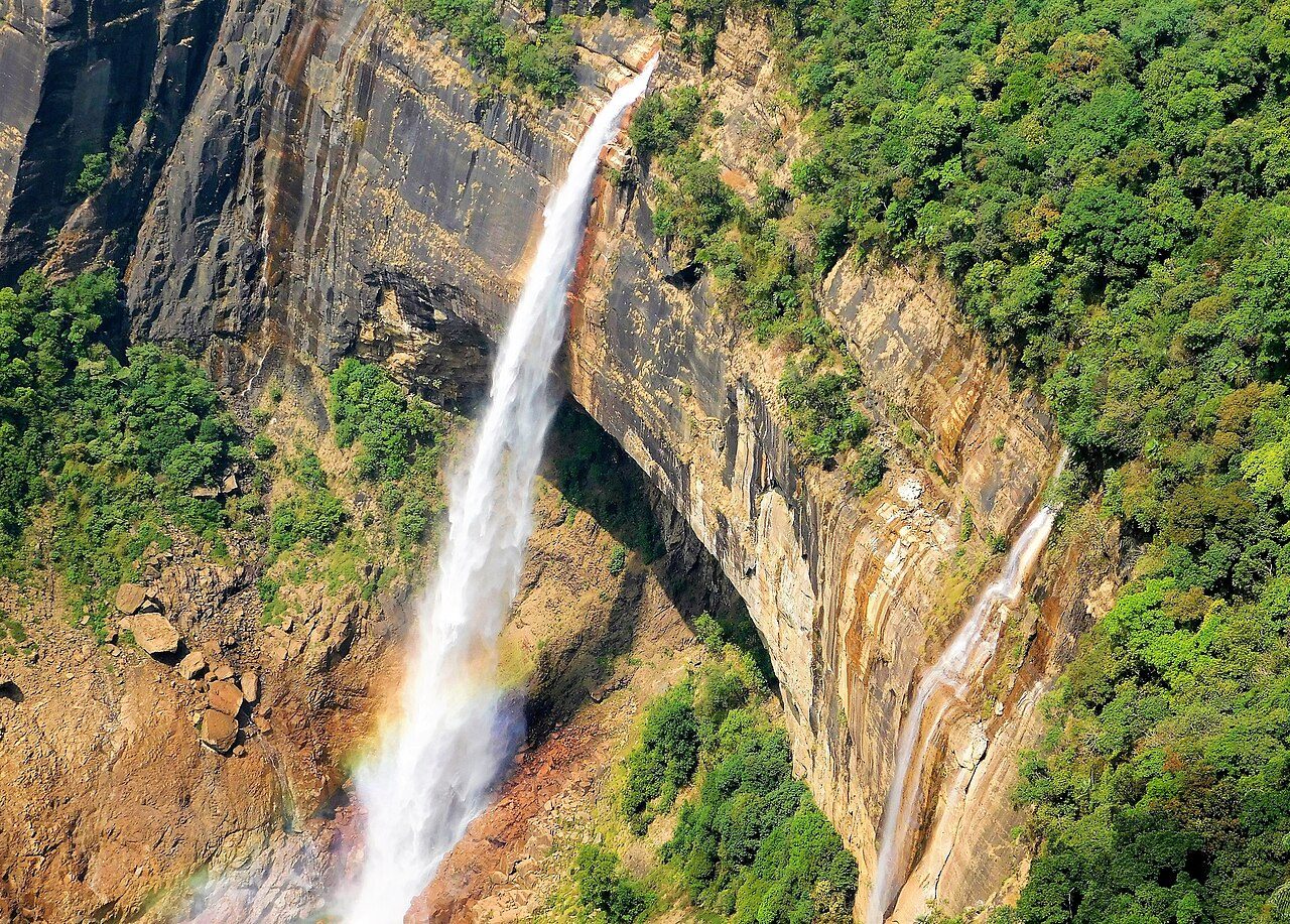
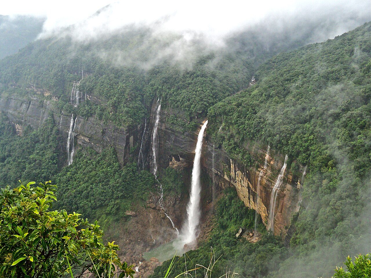
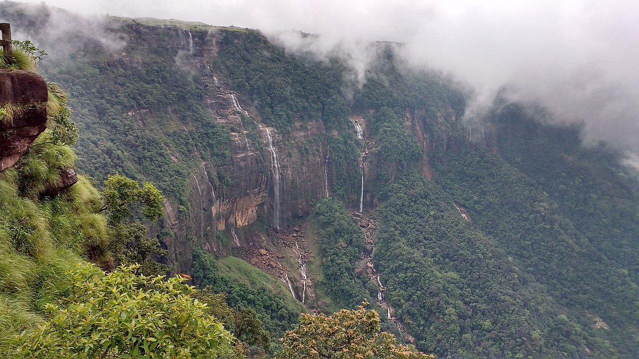
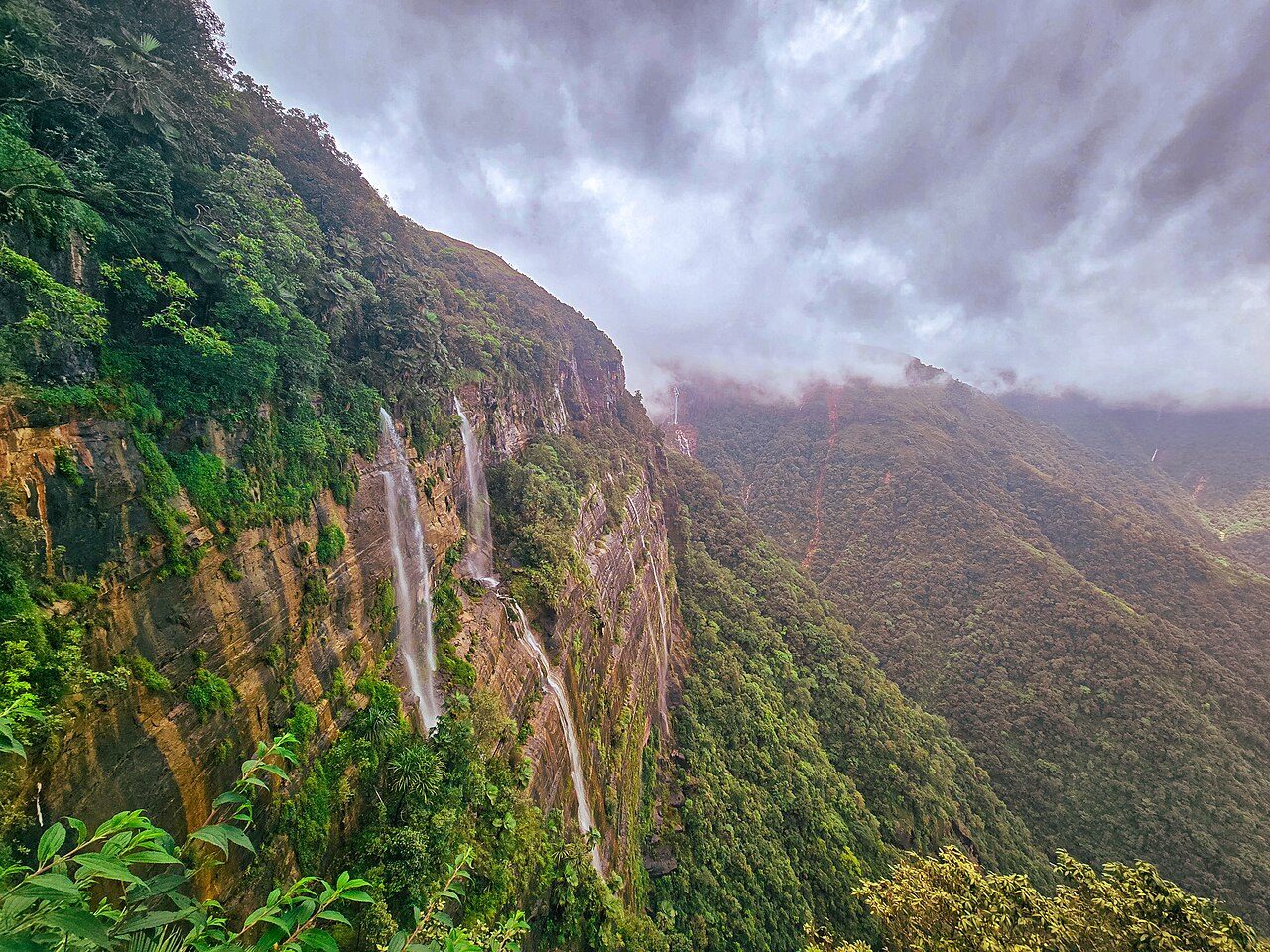
Nohkalikai Falls near Sohra (Cherrapunji) plunges about 340 metres from a forested plateau into a green pool, making it the tallest plunge waterfall in India. Its name recalls the Khasi legend of a mother named Likai who leapt from the cliff in grief. A viewpoint with stalls faces the falls, which are strongest in the monsoon.
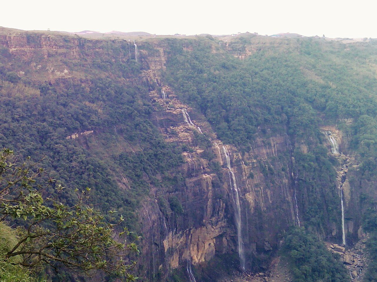
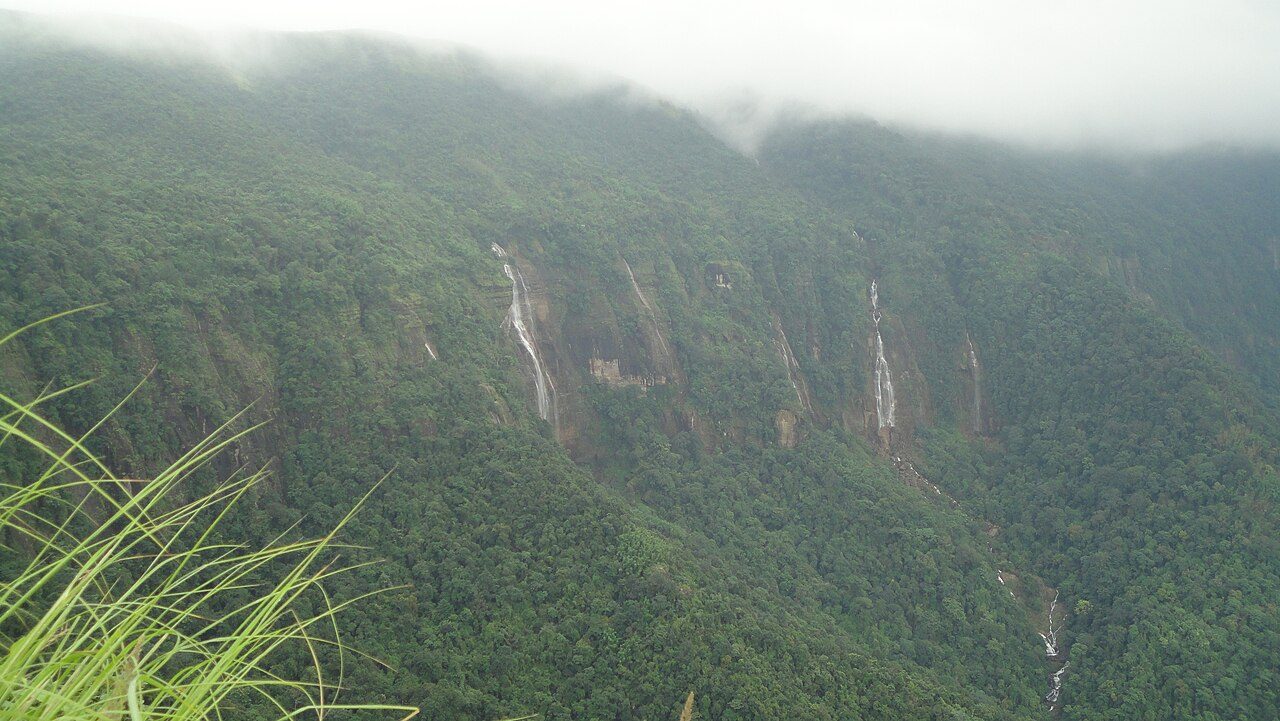
Seven Sisters Falls, or Nohsngithiang Falls, lies near Mawsmai village just south of Sohra (Cherrapunji). In the monsoon the water spills over limestone cliffs in several separate streams and drops about 315 metres. The falls face Bangladesh, and the roadside viewpoint is best visited in the rainy months, as the cliff is nearly dry in winter.
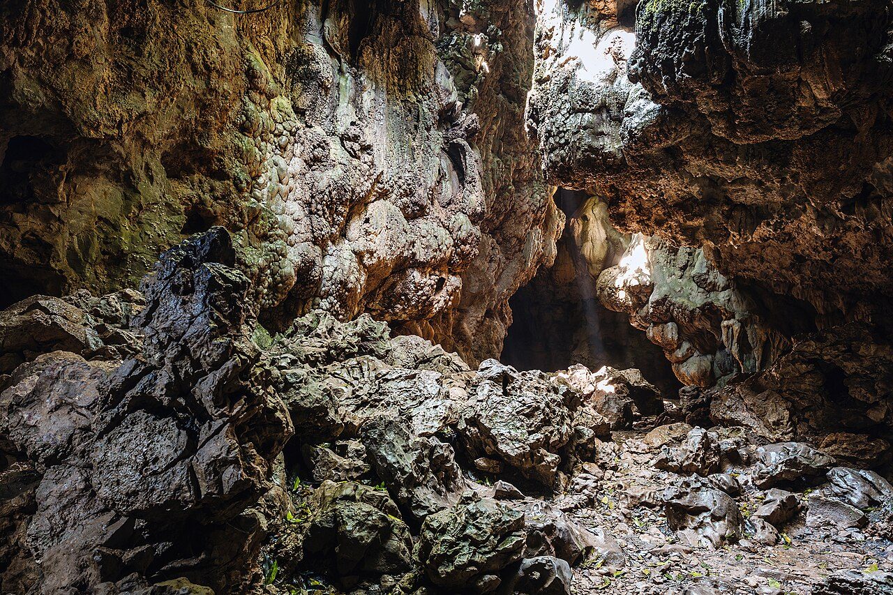
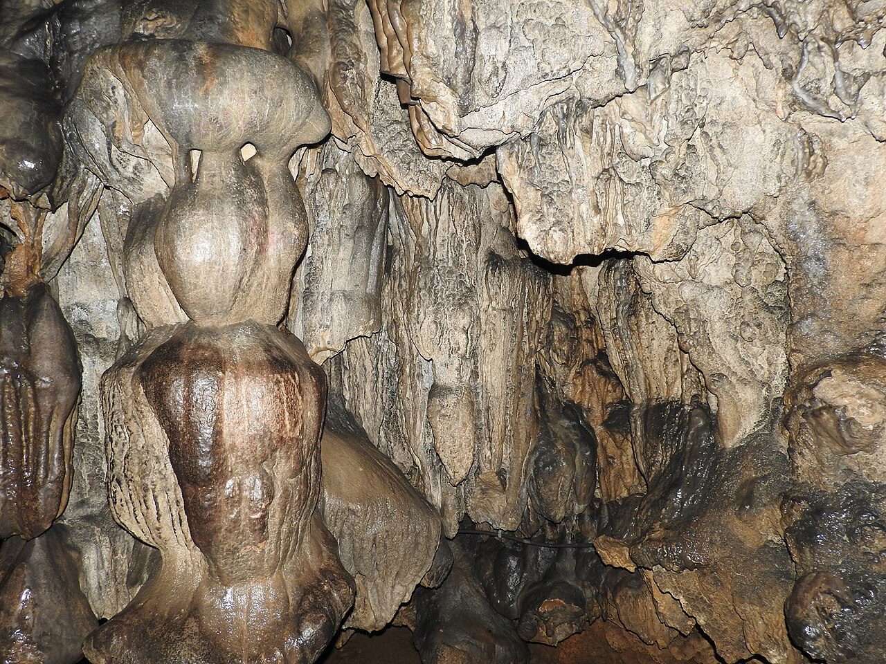
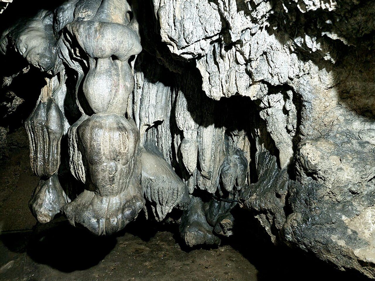
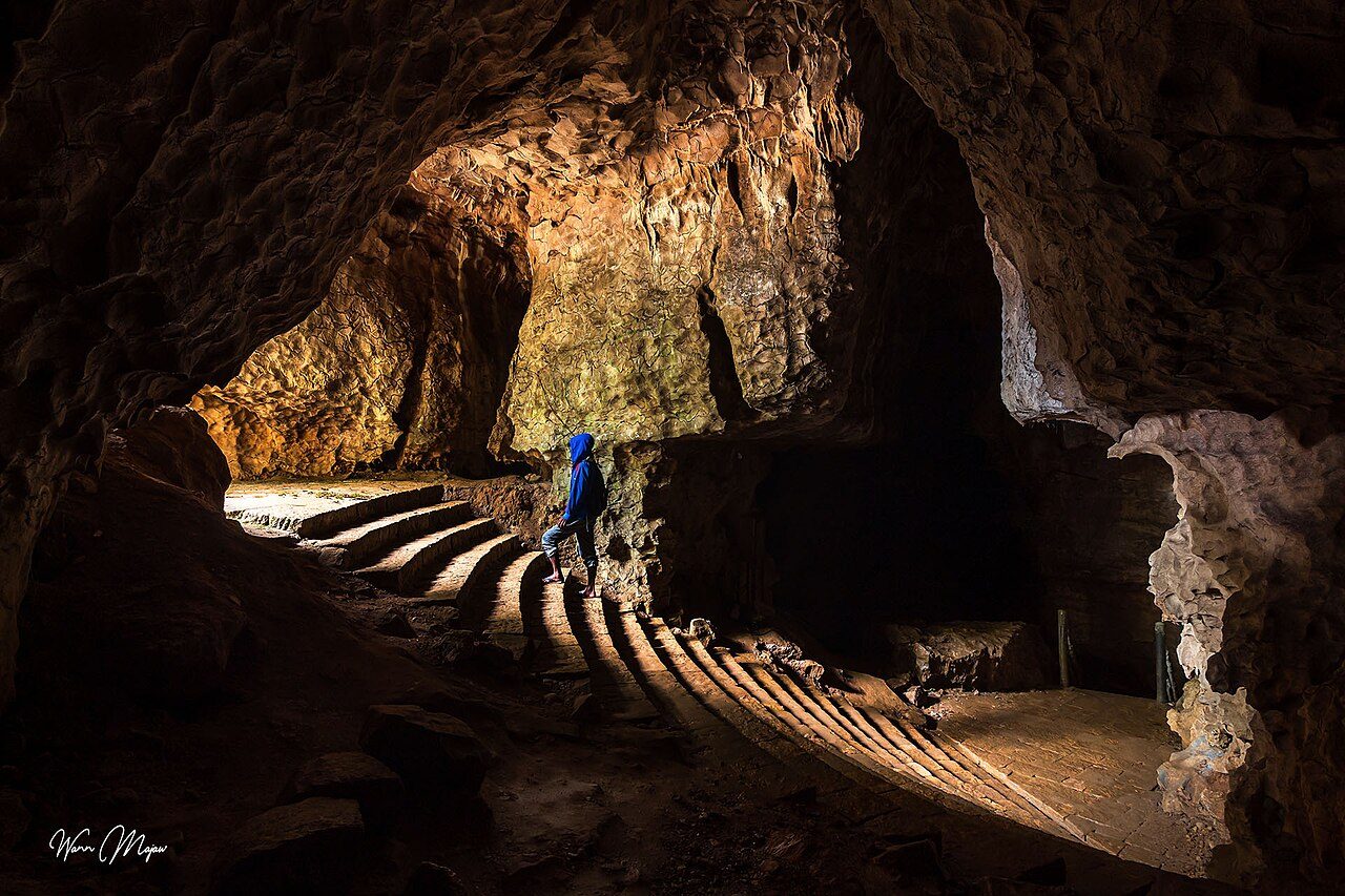
Mawsmai Cave, a few kilometres from Sohra (Cherrapunji), is the easiest limestone cave to visit in Meghalaya. About 150 metres of the passage is lit, with stalactites, stalagmites and some narrow squeezes where visitors must bend low. The entrance lies in a patch of thick forest, and the walk through takes about twenty minutes.
Arwah Cave lies on a forested hillside near Sohra (Cherrapunji). A paved path along the cliff leads to the entrance, and a lit section inside follows a stream through limestone chambers. The cave is known for marine fossils set in its walls, such as shells and fish bones, believed to be millions of years old.
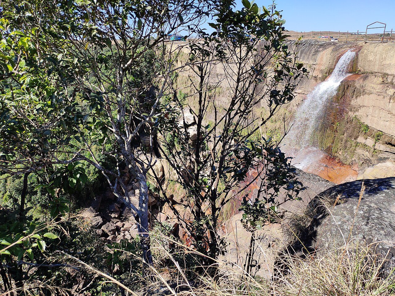
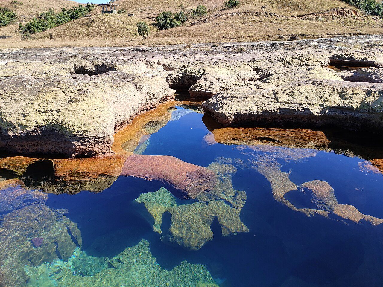
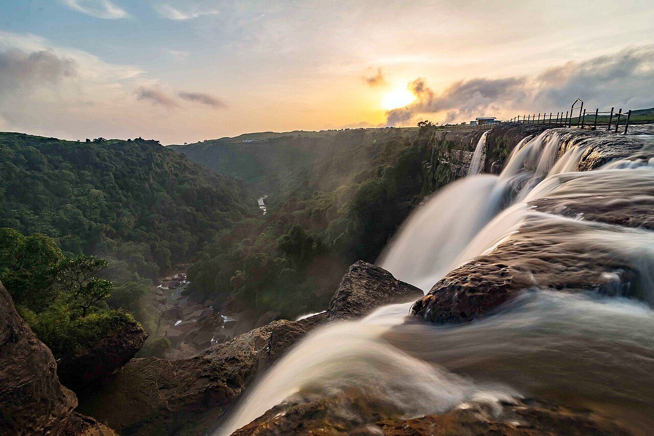
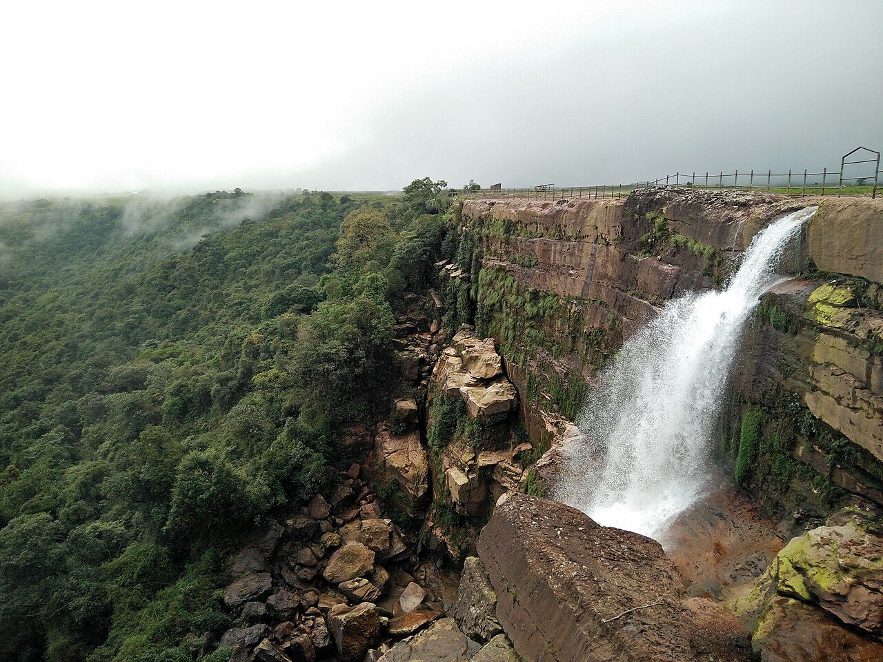
Dainthlen Falls lies a few kilometres from Sohra (Cherrapunji), where a stream crosses a wide rock shelf and drops about 80 metres. Khasi legend says the people killed a giant man-eating serpent, the Thlen, at this spot, and the potholes in the rock are said to be marks of the struggle. Visitors can walk across the rocky riverbed above the falls.
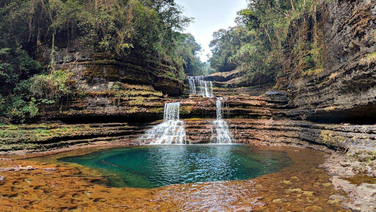
Wei Sawdong Falls is a three-tiered waterfall in a forested gorge near Sohra, not far from Dainthlen. Each tier ends in a clear green pool. Reaching it means climbing down a steep path with bamboo ladders and rails, so sturdy shoes are needed, and it can be slippery during the rains. The view from the bottom is the reward.
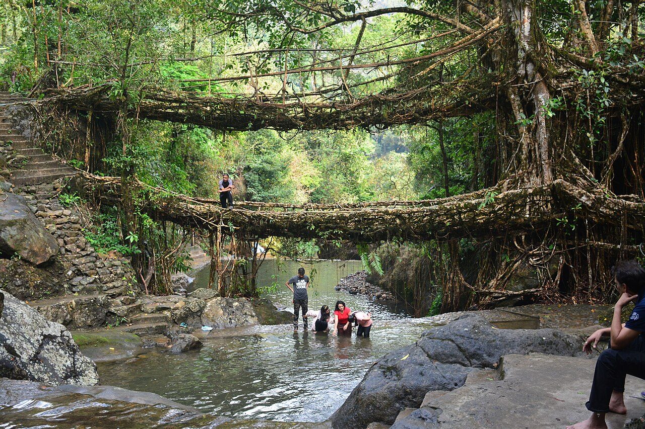
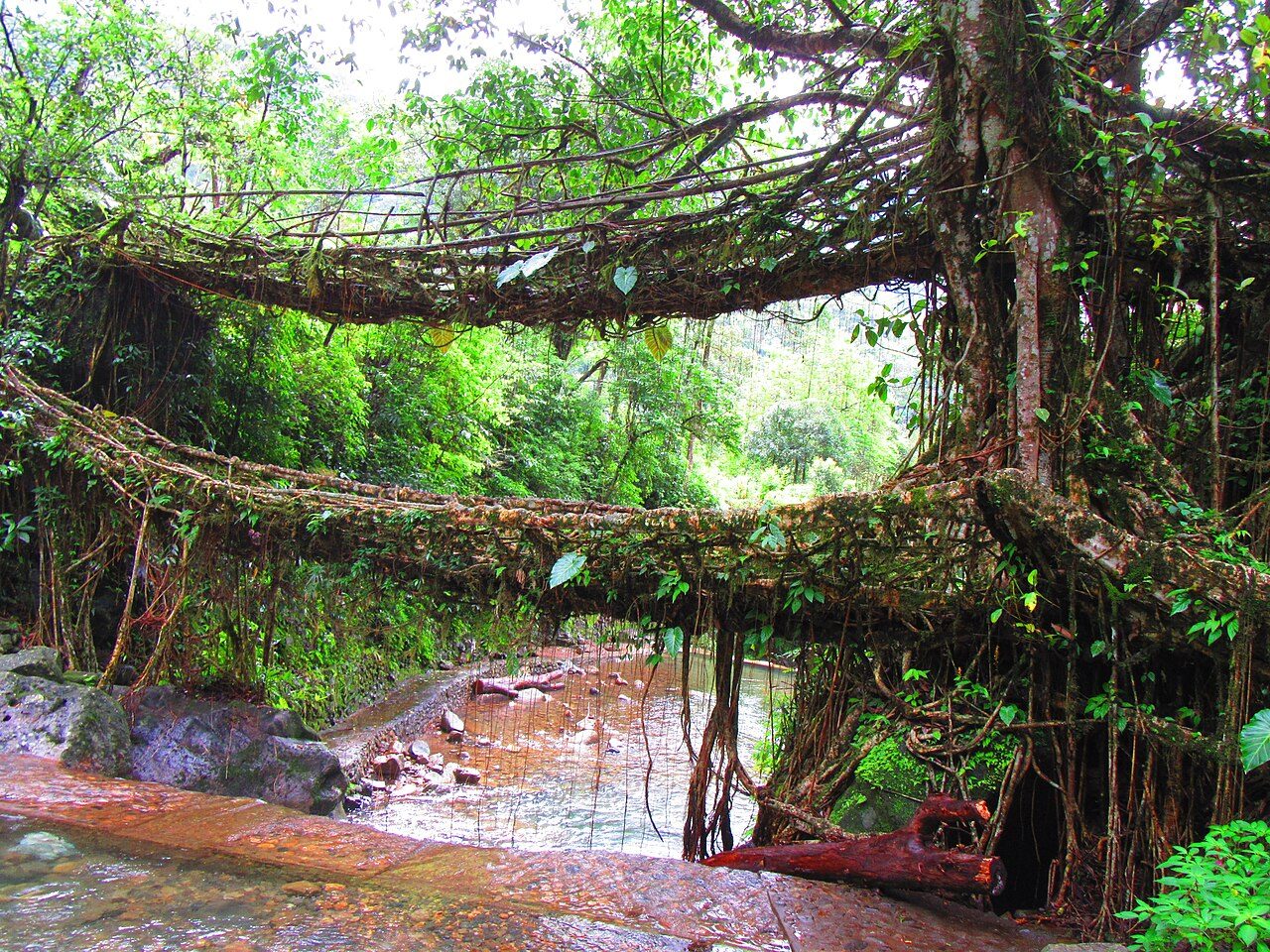
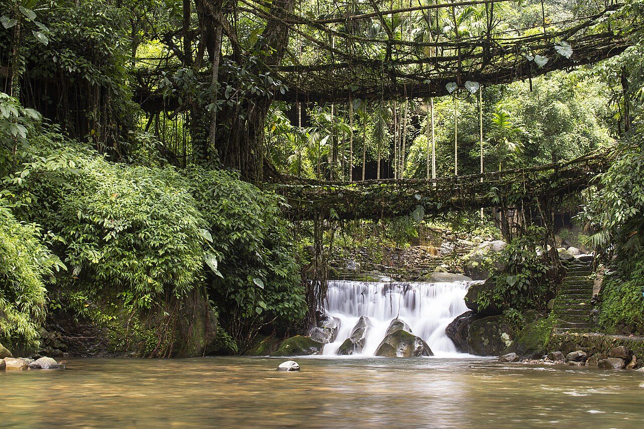
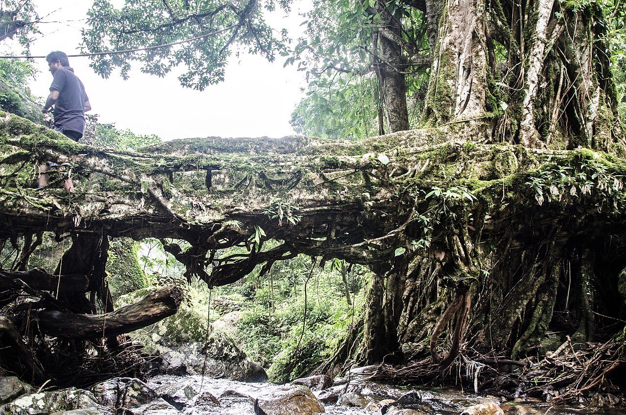
The Double Decker Living Root Bridge at Nongriat village is made of rubber fig roots trained across a stream by Khasi villagers over generations, one span above the other. It is reached by a trek of about 3,500 steps down from Tyrna near Sohra, crossing wire bridges on the way. Natural pools beside it are good for a swim.
Best weather: Nov – MarHeavy rain: Apr – Sep
Seasons from 20 years of NASA POWER climate data.
Was this trip blog helpful?
0
0
Ready to follow this route?
Copy all 16 stops into your trip plans in the app.
 WaTrips