The lake and viewpoints of Yercaud, Mettur Dam, coracle rides at Hogenakkal Falls, and the hill forts of Krishnagiri and Rayakottai.
A short loop through the north-west of Tamil Nadu with a bit of everything. Day one climbs the ghat road from Salem to Yercaud for the lake, Pagoda Point and Lady's Seat, with wide views over the plains. Day two follows the Kaveri: first Mettur Dam, one of the largest in South India, then Hogenakkal, where the river falls through rocky channels and you can ride a round coracle boat close to the spray. On the last day climb to the hill forts at Krishnagiri and Rayakottai, and see the Krishnagiri reservoir. Coracle rides stop when the river is high, so check before you go, and the fort climbs are best done early in the morning.
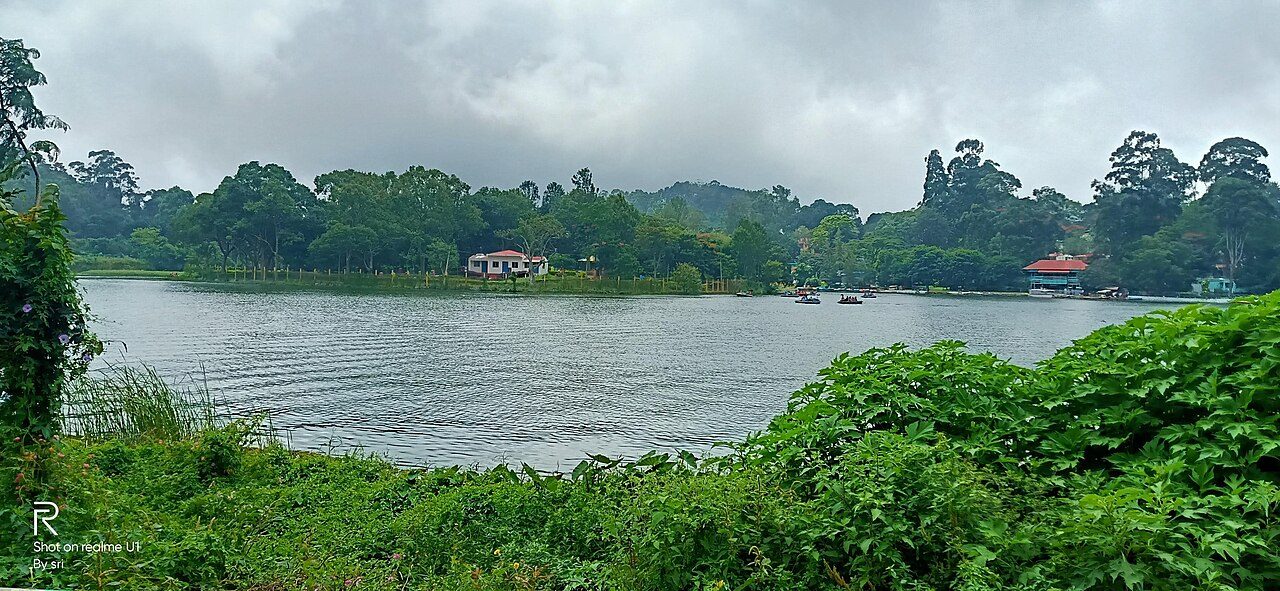
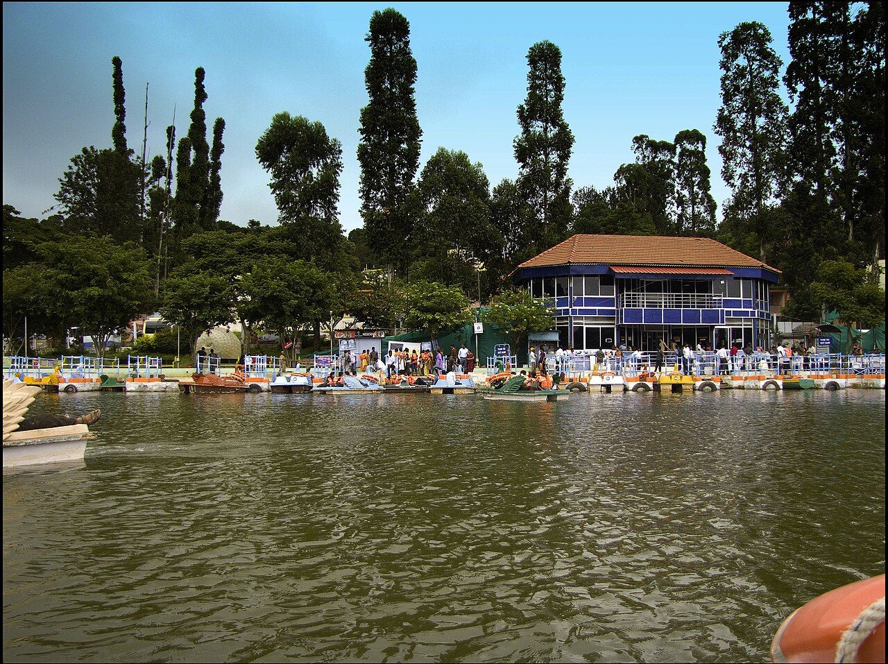
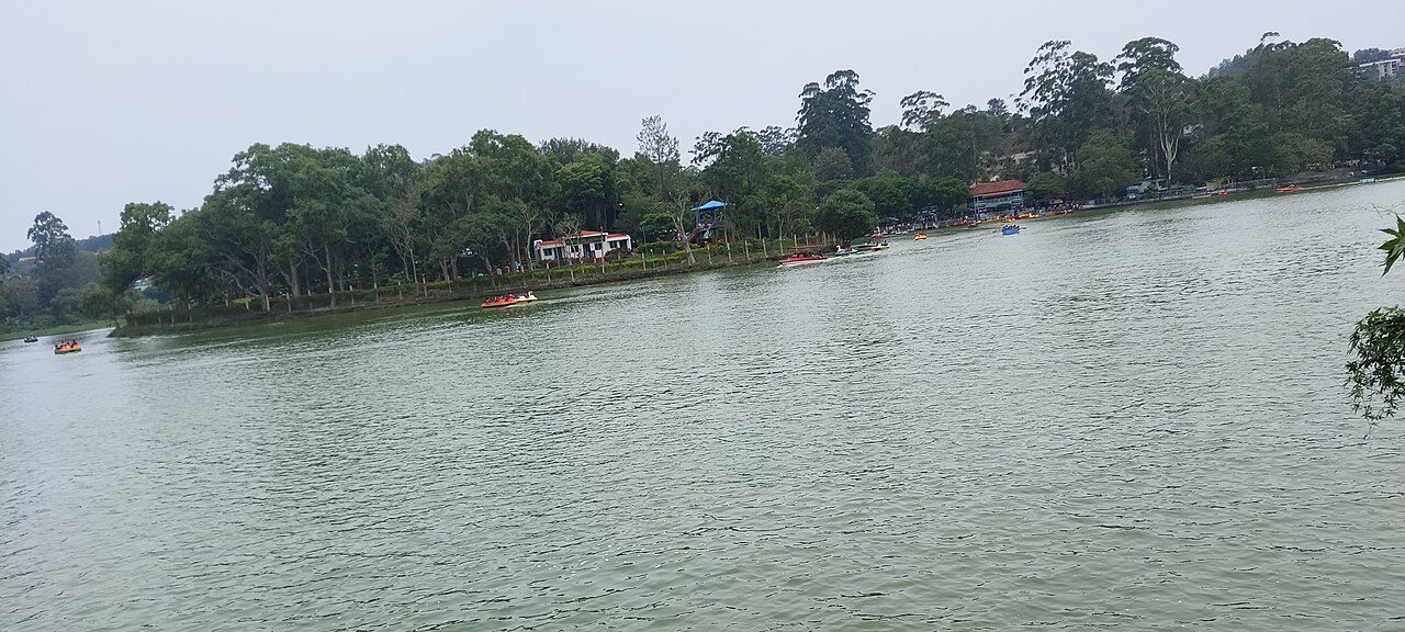
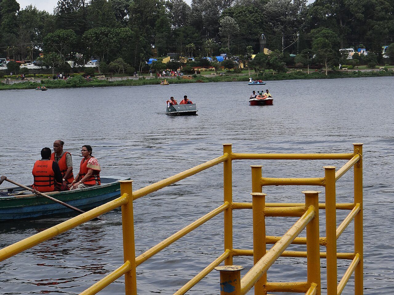
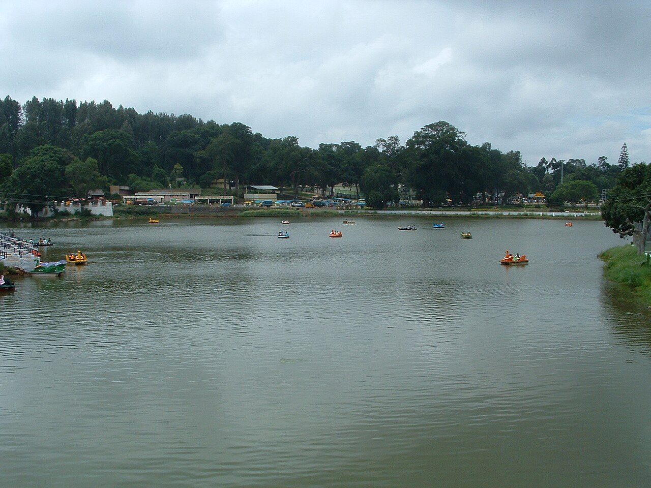
Yercaud grew into a hill station on the Shevaroy range after the Salem collector M. D. Cockburn began planting coffee and European fruit trees here in the 1820s, and the lake at the centre of the town has been its gathering place ever since. It is a small artificial lake ringed by a walking path, with boating, a park and a boathouse along its banks. The name Yercaud comes from the Tamil for lake forest, and the hills around it still grow coffee, oranges, pepper and jackfruit.
02
STOP 2 OF 8
Pagoda Point Yercaud
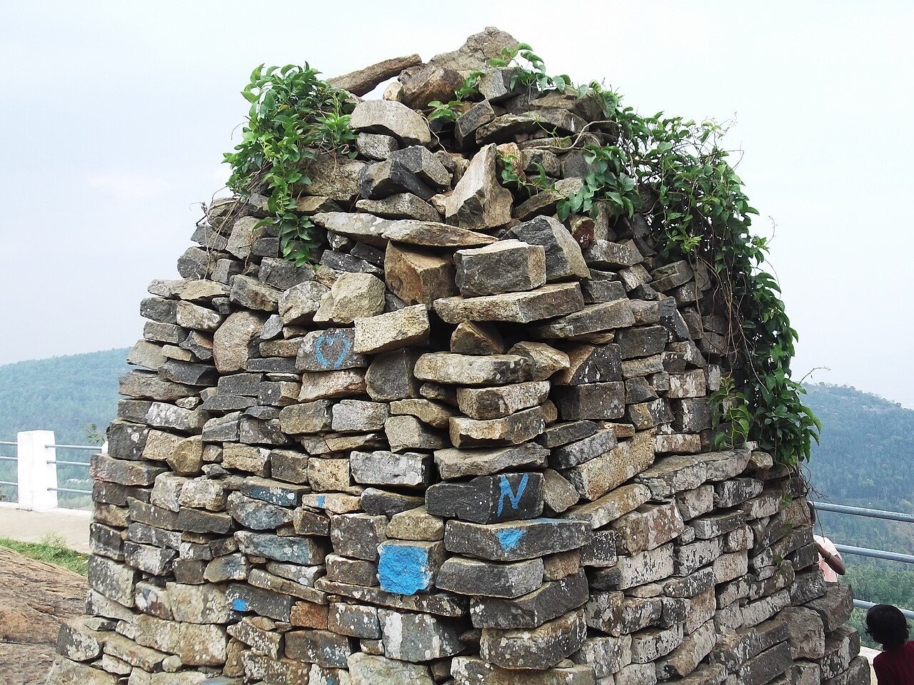
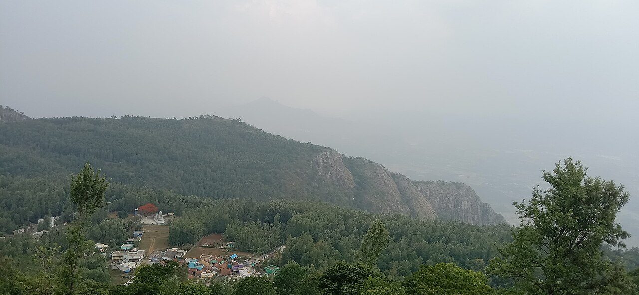
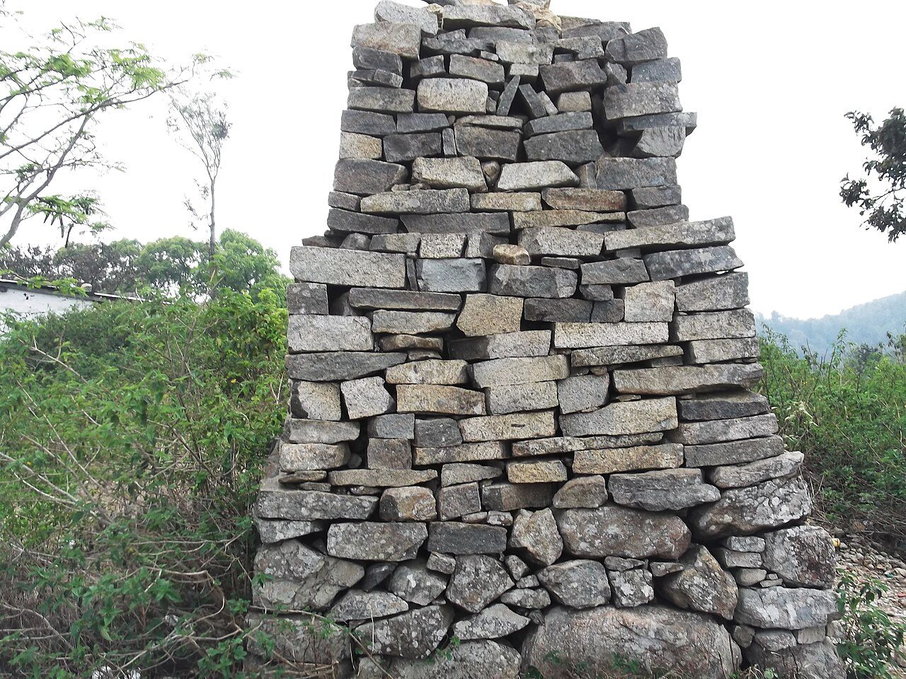
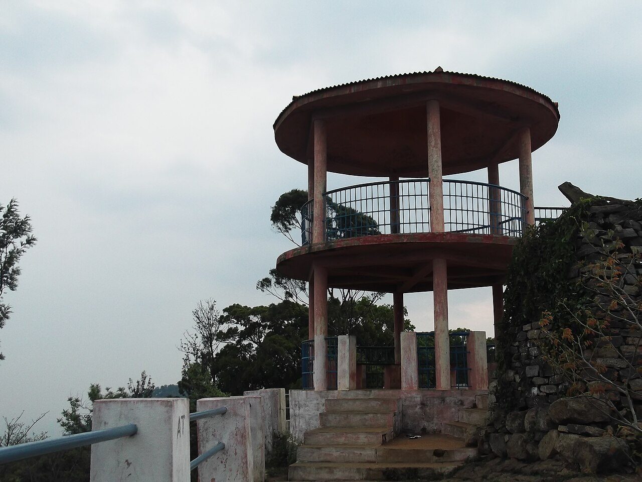
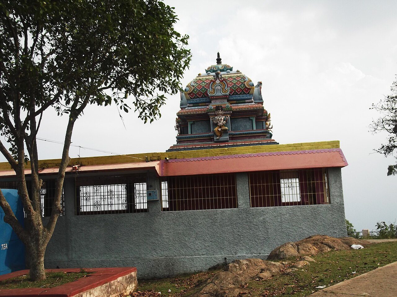
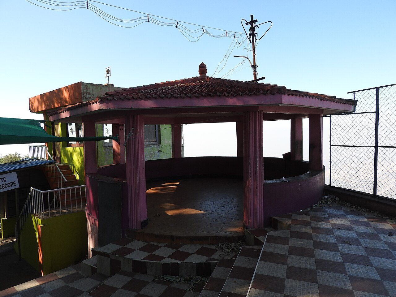
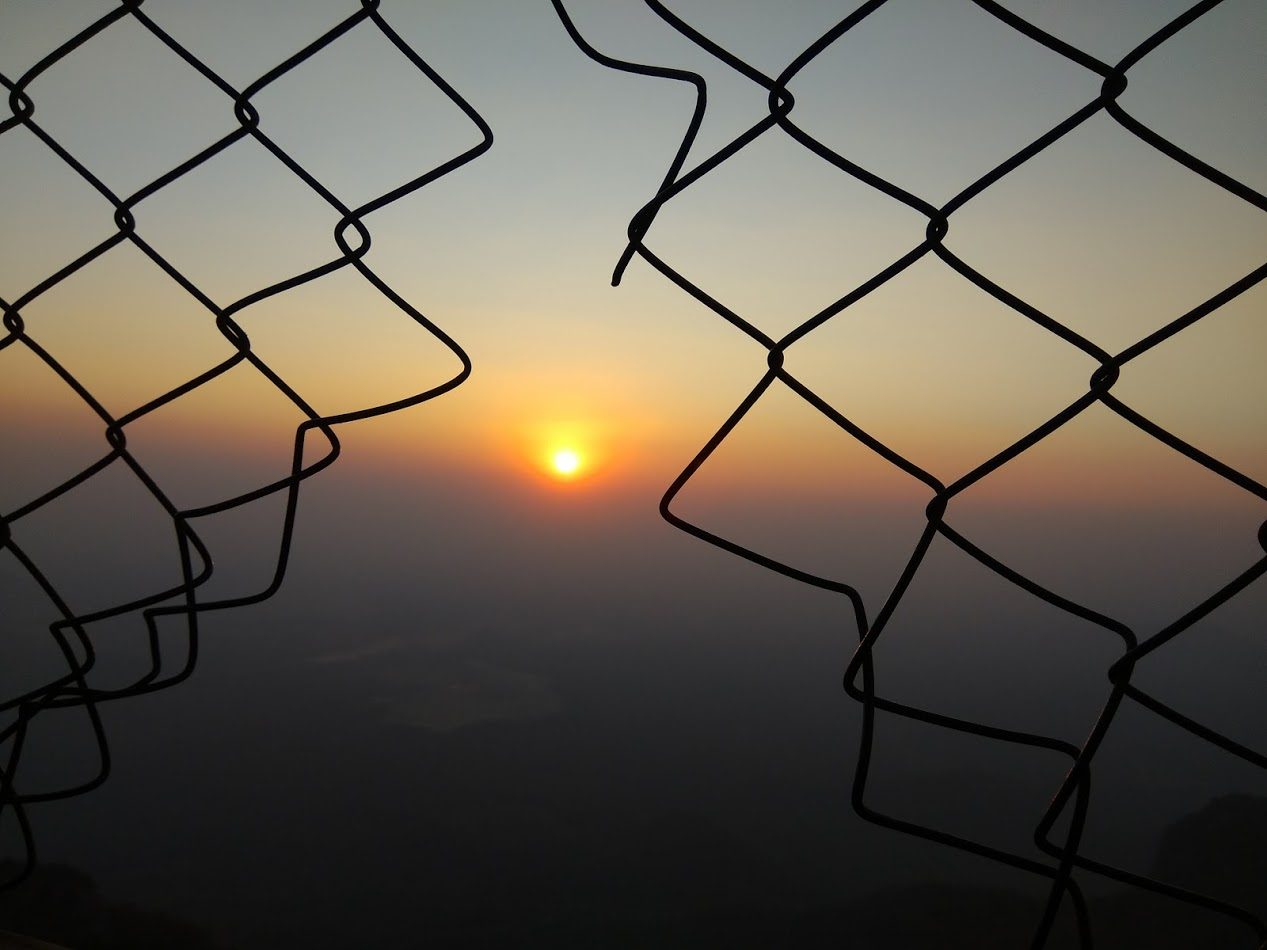
Pagoda Point looks east off the Shevaroy hills across the plains towards Salem, and takes its name from the cairns of stacked stone standing on the ridge, raised by devotees beside a small shrine. It is the usual place in Yercaud to come for sunrise, with the hills falling away in steps below. A gazebo and a short walking path have been added at the edge of the rock.
03
STOP 3 OF 8
Ladys Seat Yercaud
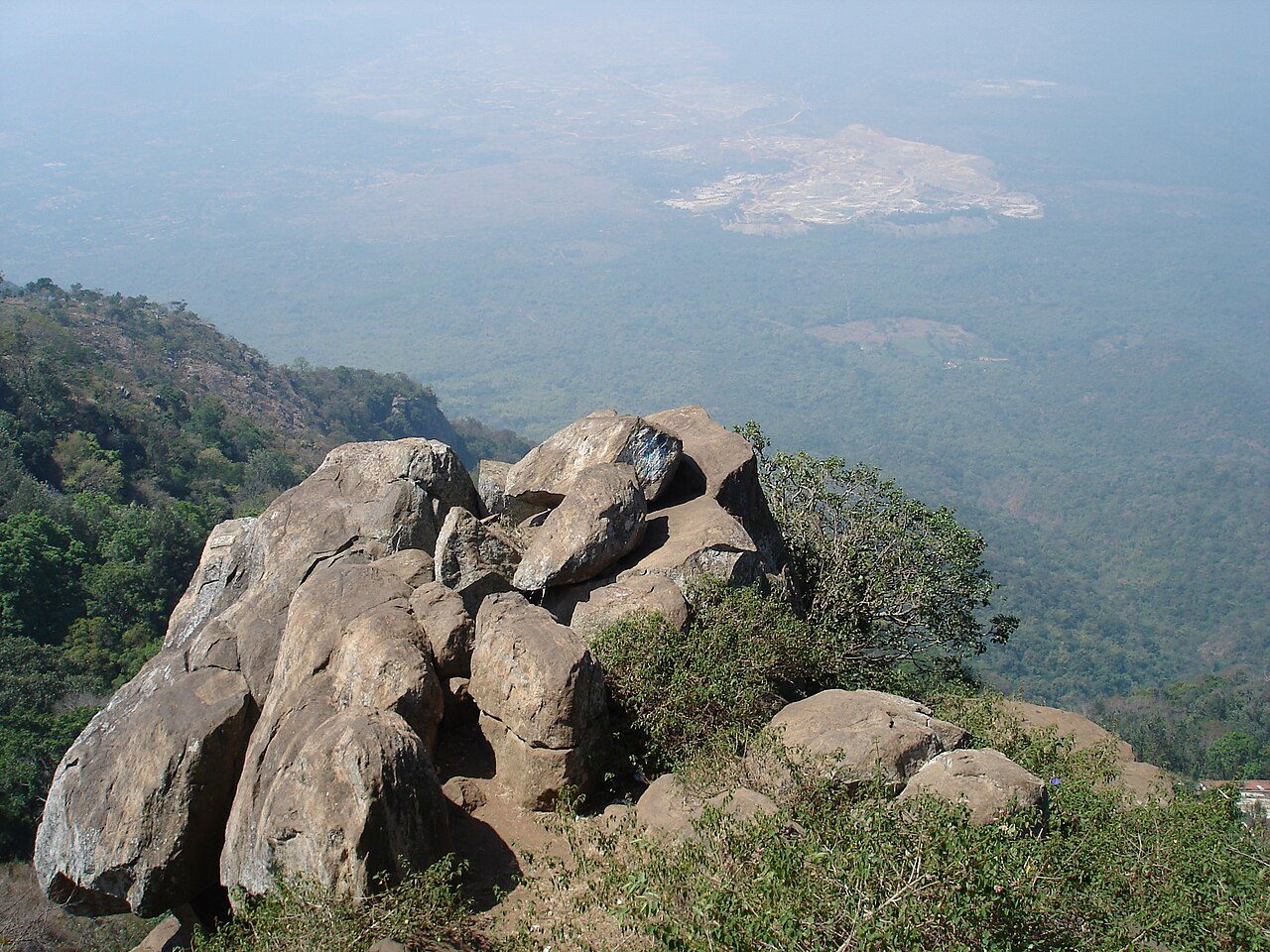
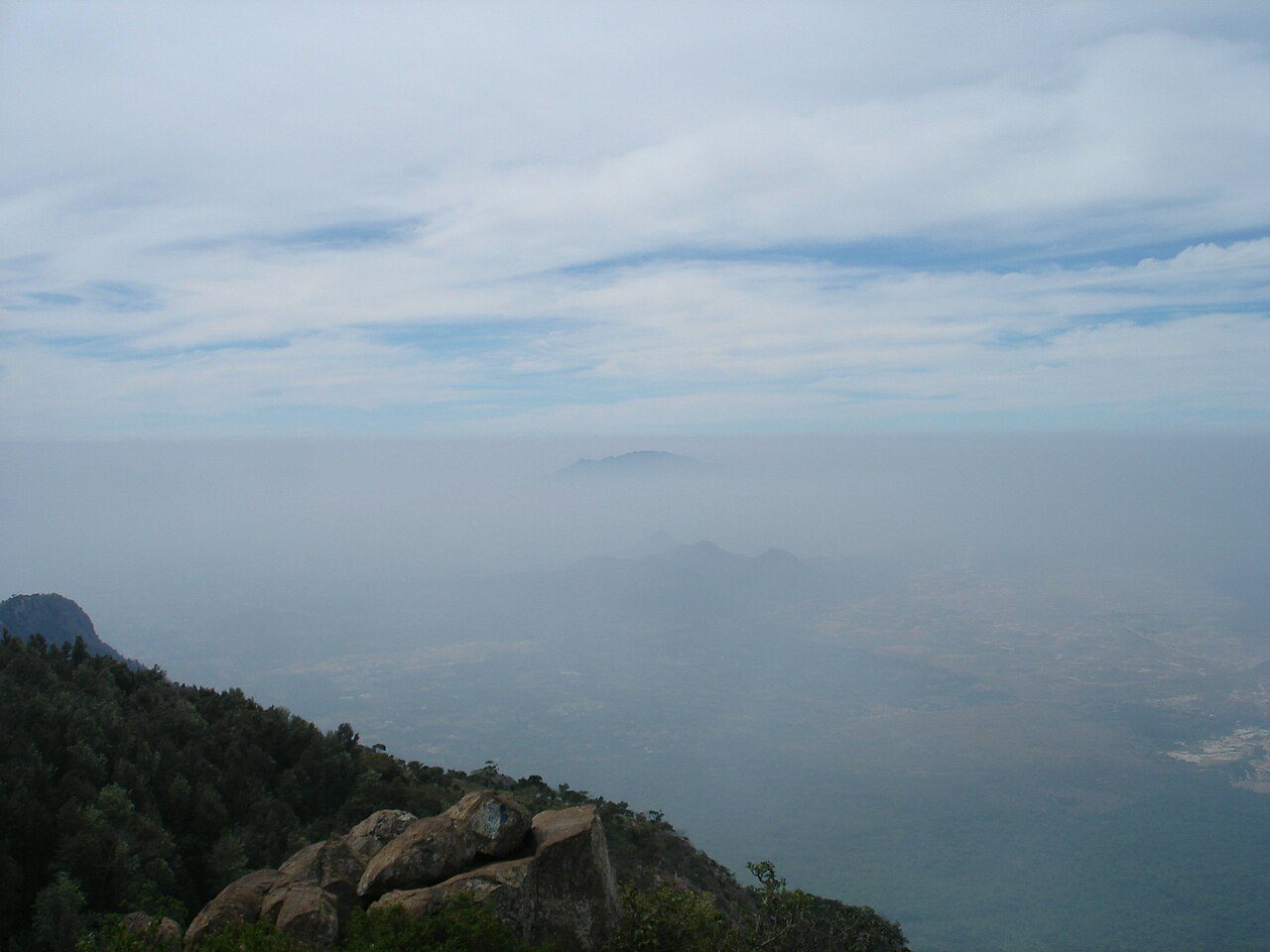
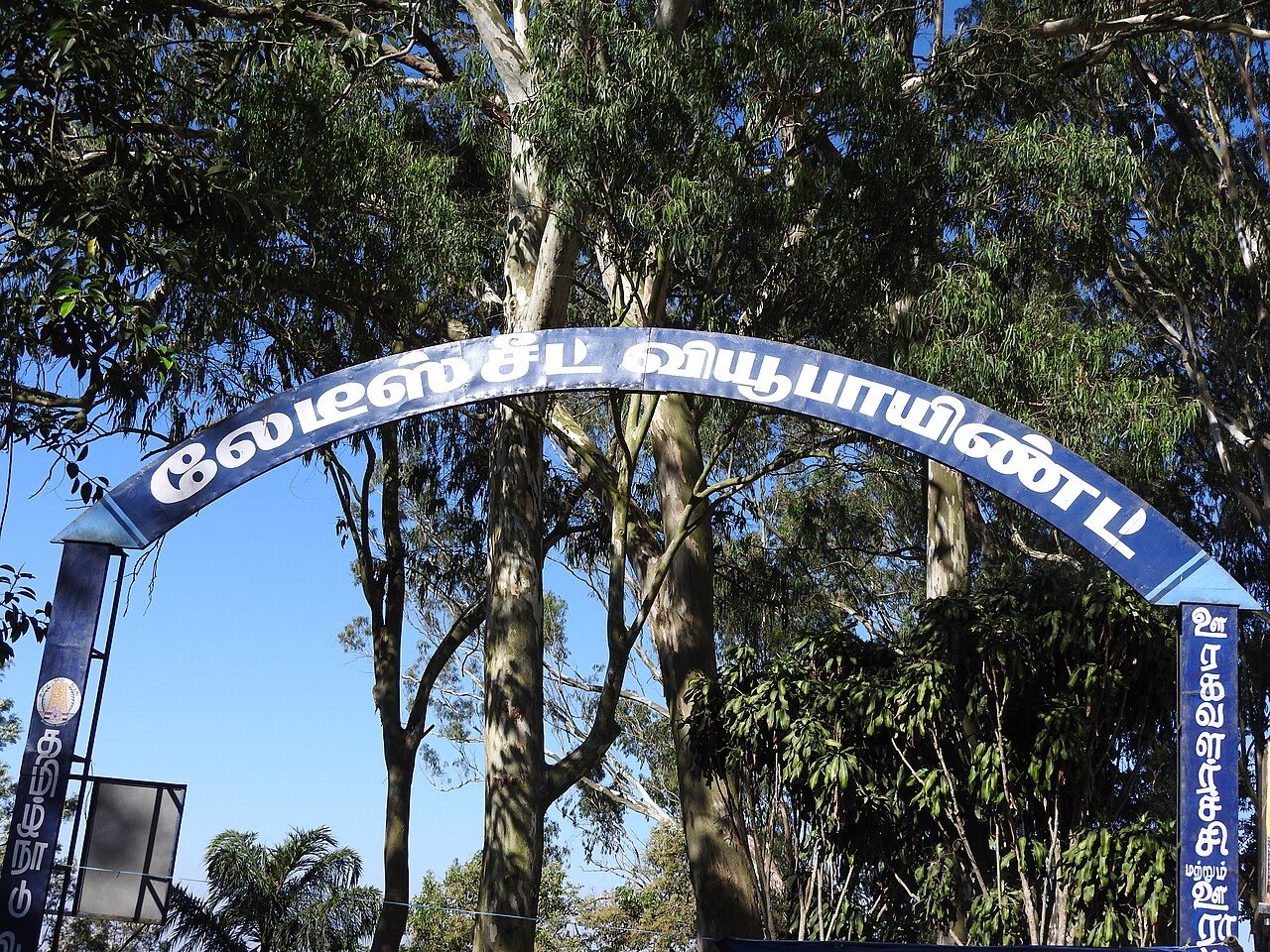
Lady's Seat is a cluster of rocks on the western rim of the Shevaroy hills looking down over the ghat road and the city of Salem, named for the British women who used to sit here while their husbands were out on the coffee estates. A telescope house stands beside it, and the neighbouring outcrops are known as Gent's Seat and Children's Seat. The twenty hairpin bends of the road to Salem can be traced from the edge, and the view is at its best towards sunset.
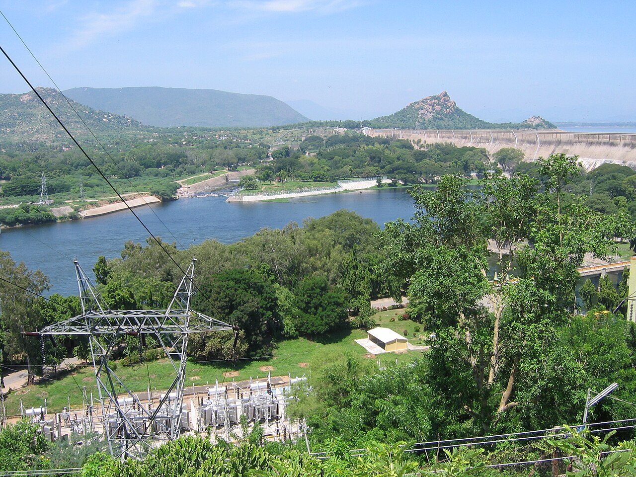
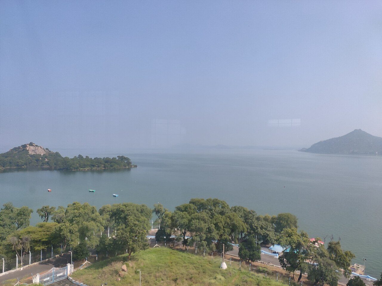
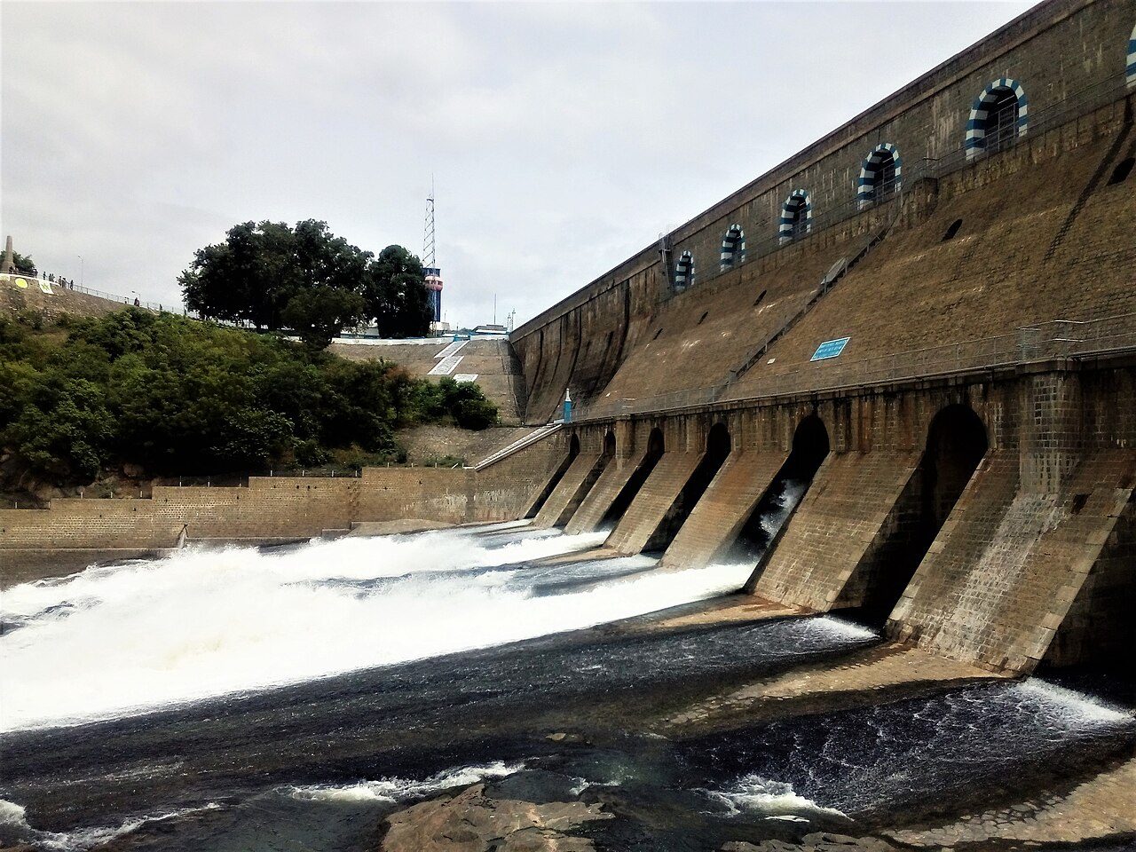
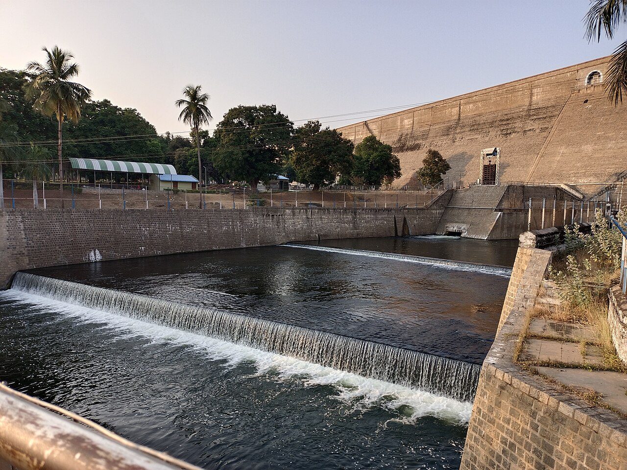
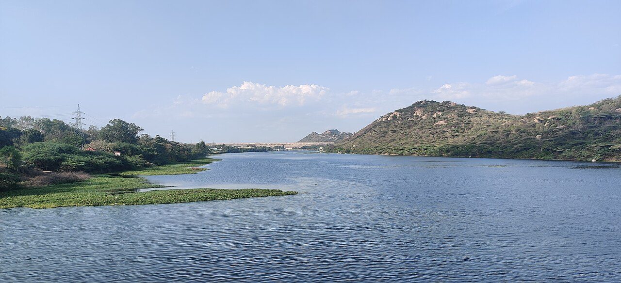
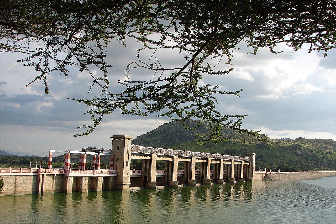
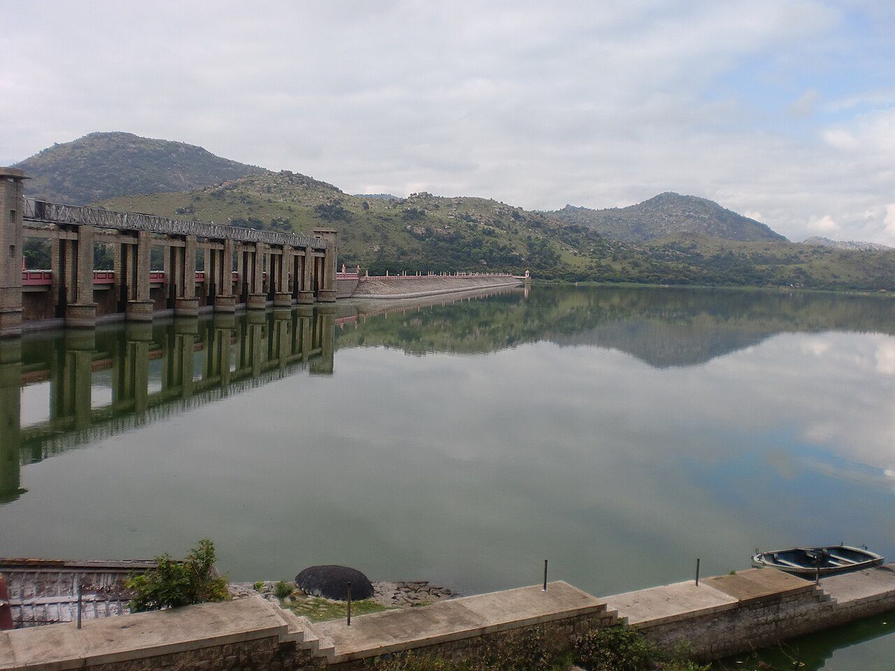
Completed in 1934 after nine years of work, the Mettur dam across the Cauvery was among the largest dams in the world at the time and created the Stanley Reservoir, named after Sir George Stanley, then governor of Madras. Water released here irrigates the delta districts far downstream, and the opening of the shutters for the irrigation season each summer is still followed across Tamil Nadu. A hydro-electric station, a park and a long view over the reservoir stand beside the dam.
05
STOP 5 OF 8
Hogenakkal Falls
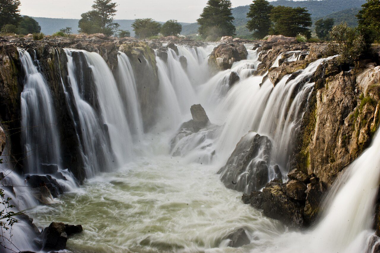
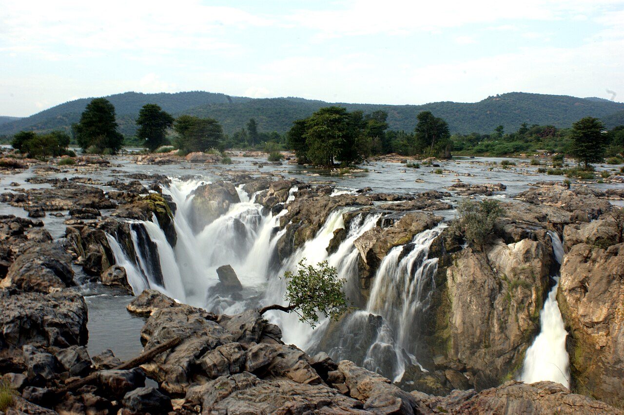
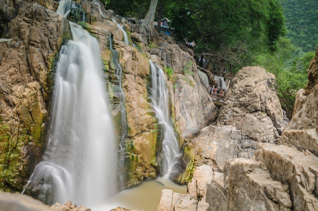
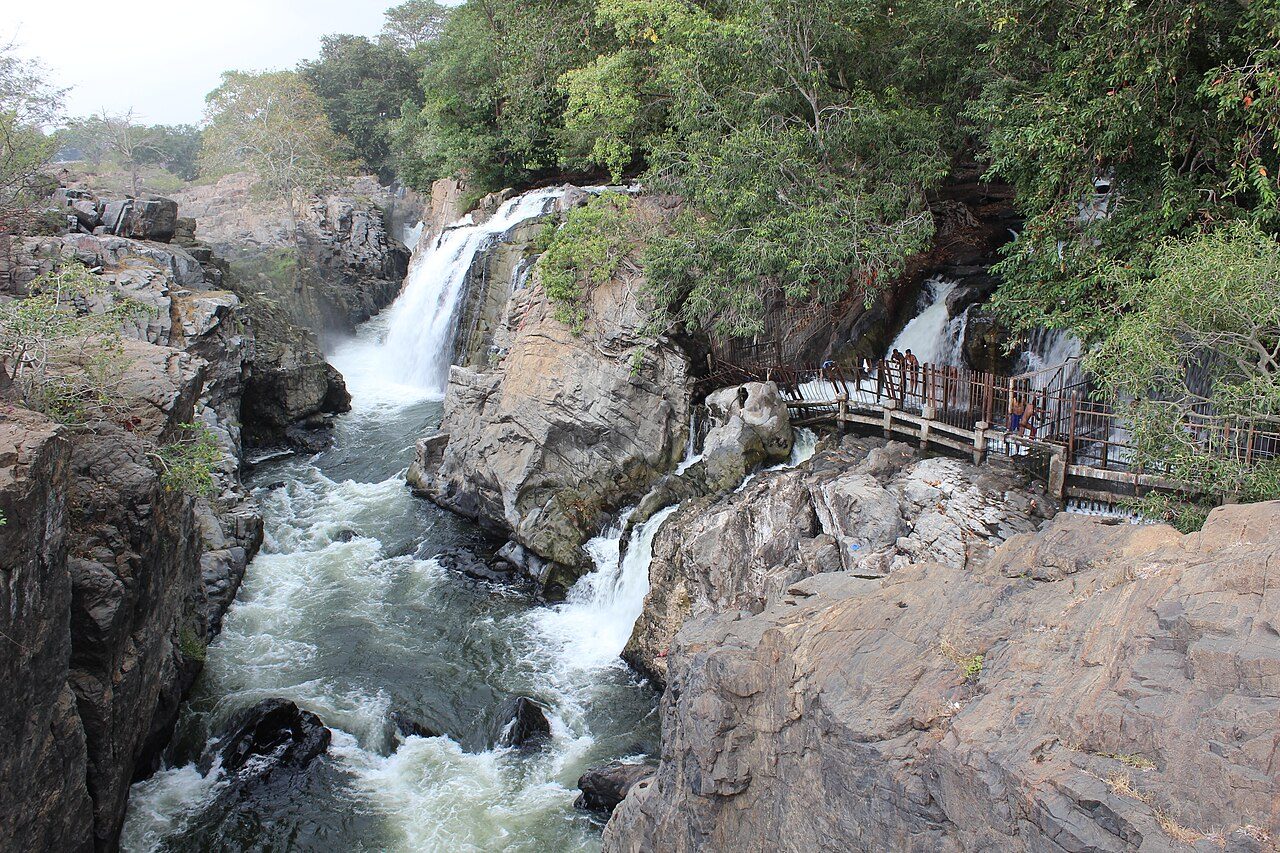
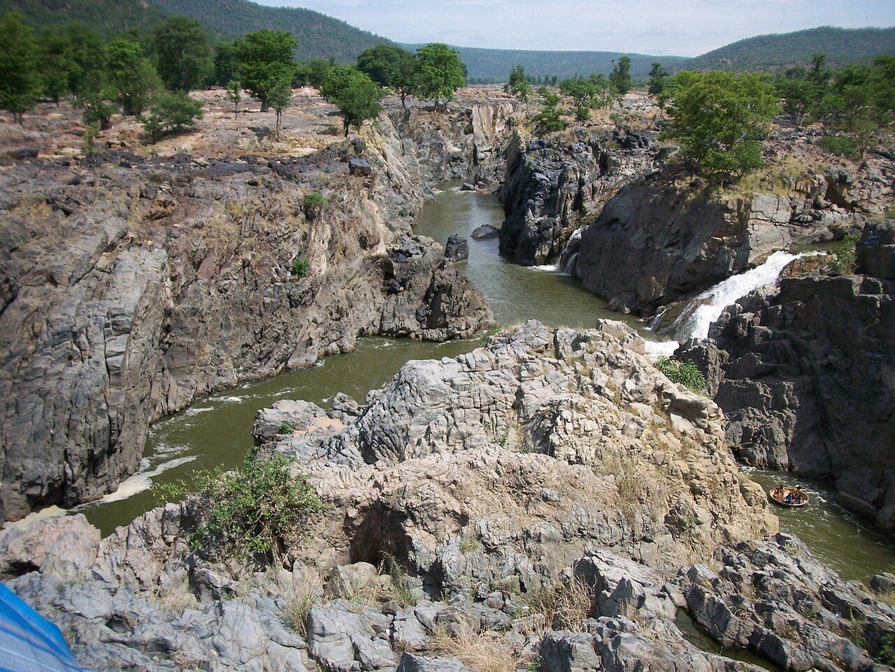
The Kaveri drops through a gorge of carbonatite rock here, splitting into dozens of falls; the name means smoking rock, for the spray thrown up where the water hits. Visitors are taken out in parisal, round coracles of bamboo and hide, and the rock around the gorge is among the oldest exposed in South Asia.
06
STOP 6 OF 8
Krishnagiri Fort
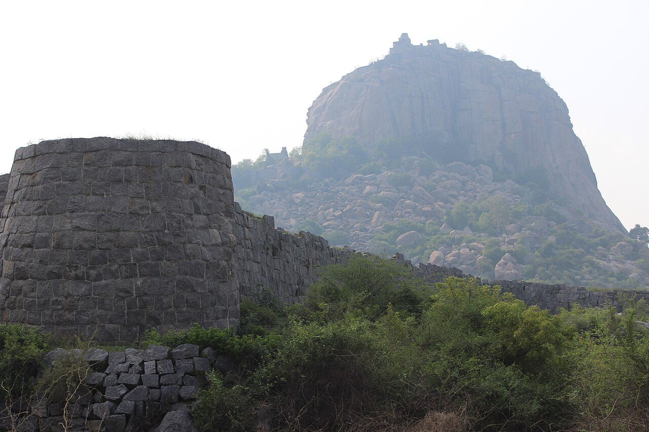
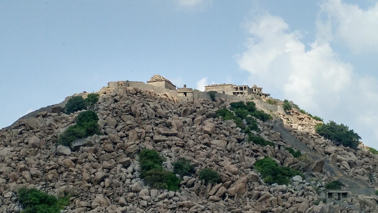
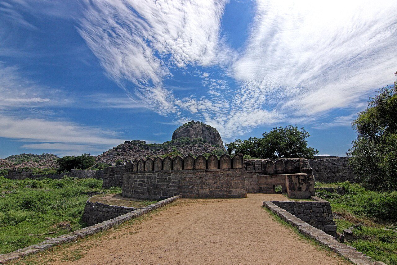
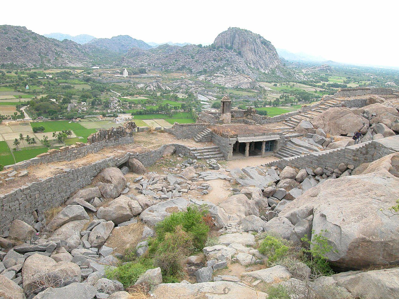
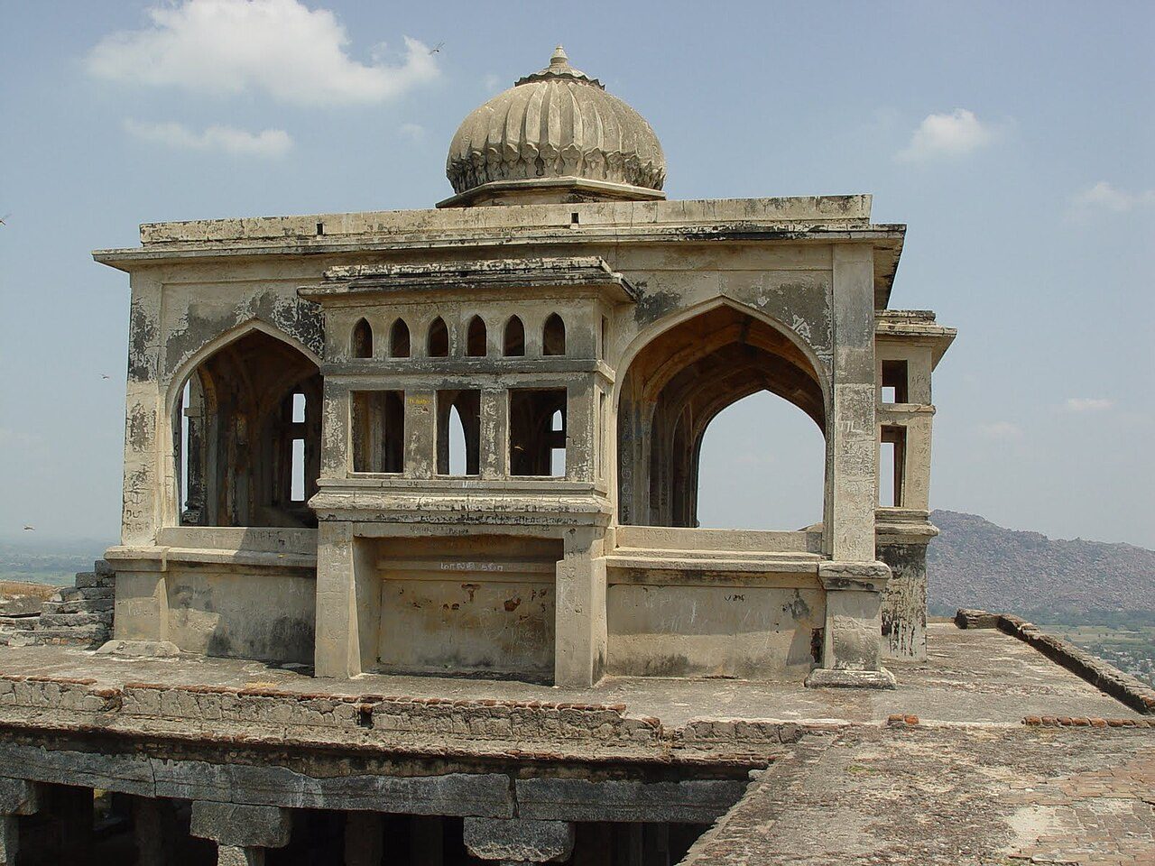
A hill fort on a bare granite outcrop above the town, held in turn by the Vijayanagara rulers, the Marathas, Mysore and finally the British in the 18th century. Ramparts, rock-cut cisterns and small pavilions still stand along the climb. From the top the fort looks out over Krishnagiri town and the Thenpennai valley.
07
STOP 7 OF 8
Krishnagiri Reservoir Dam
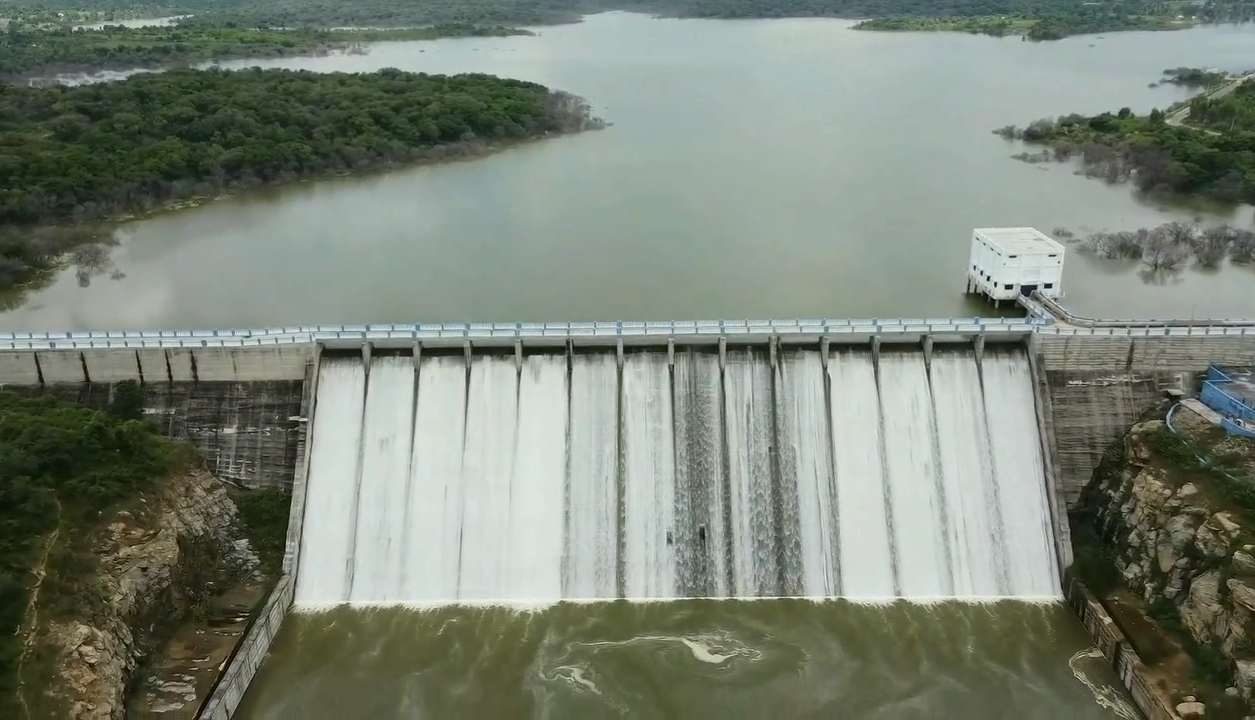
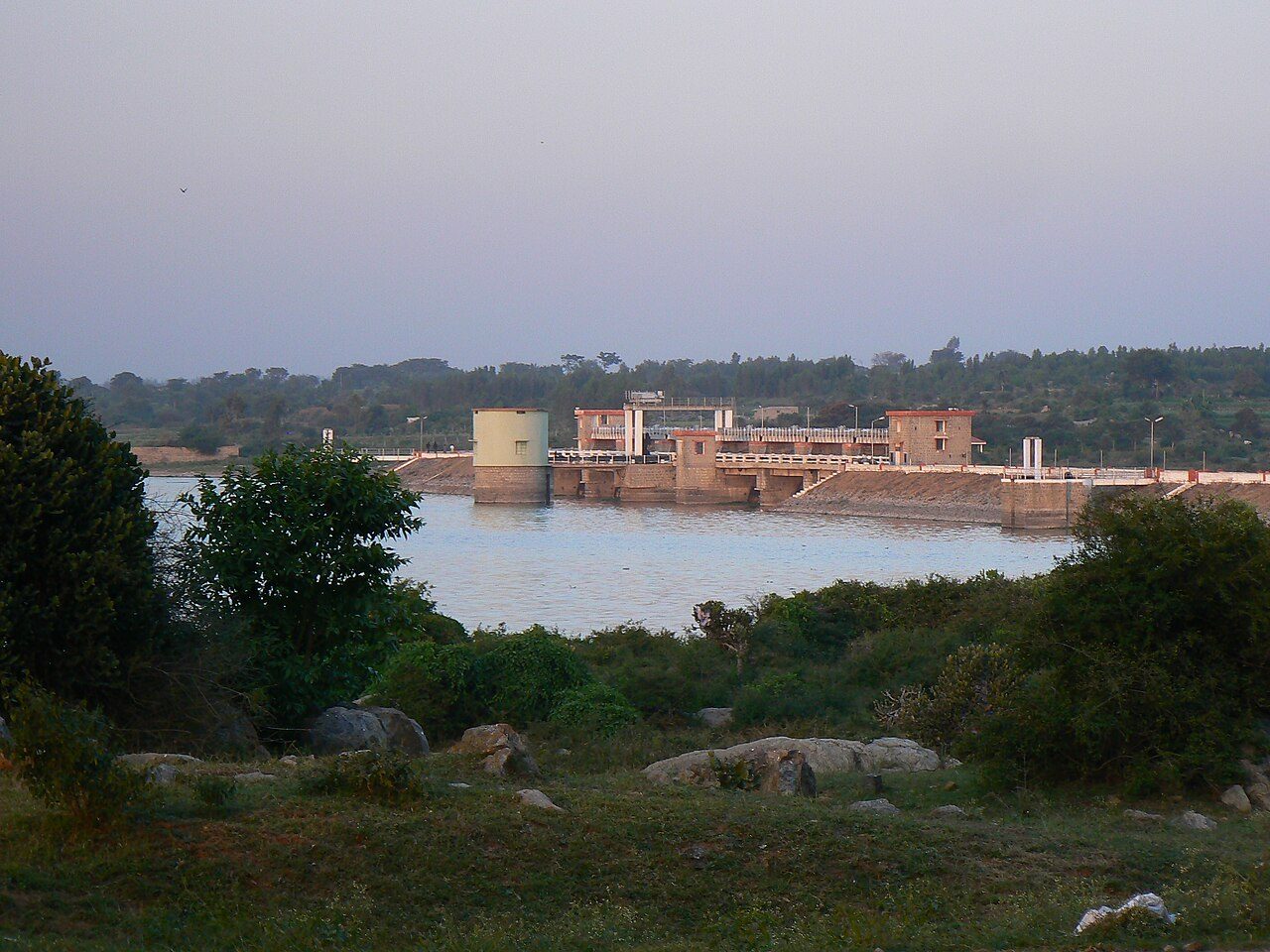
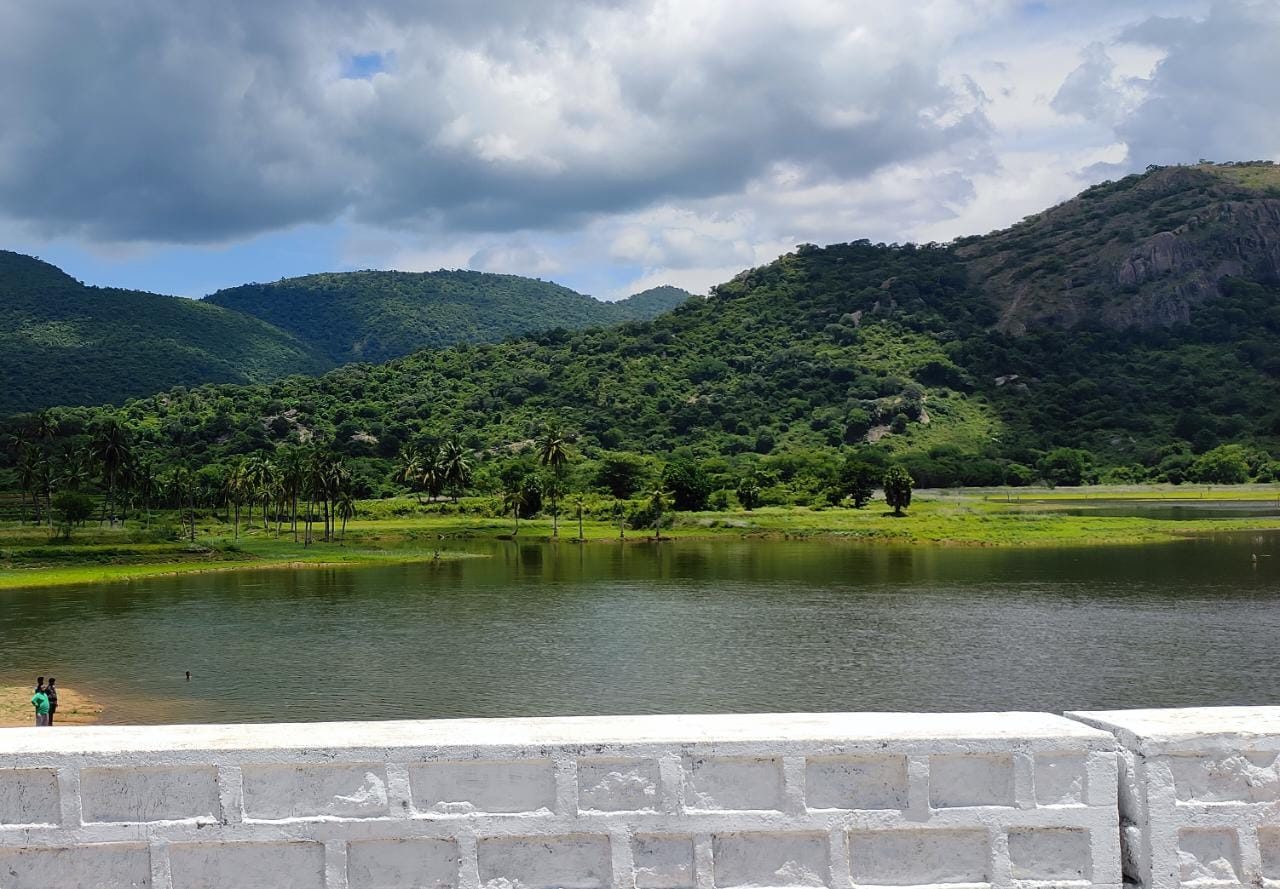
The Krishnagiri Reservoir Project dam was completed in the 1950s across the Thenpennai river to irrigate farmland across the district. Its gated spillway, the terraced garden below the wall and the reservoir backed by low hills make it the town's main outing. The reservoir also supplies Krishnagiri's drinking water.
08
STOP 8 OF 8 · LAST STOP
Rayakottai Fort
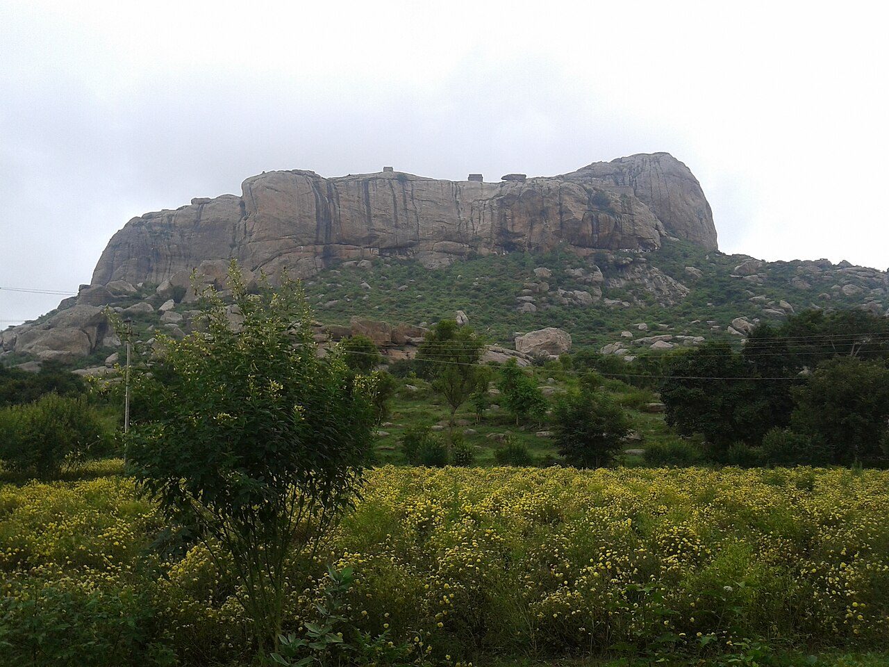
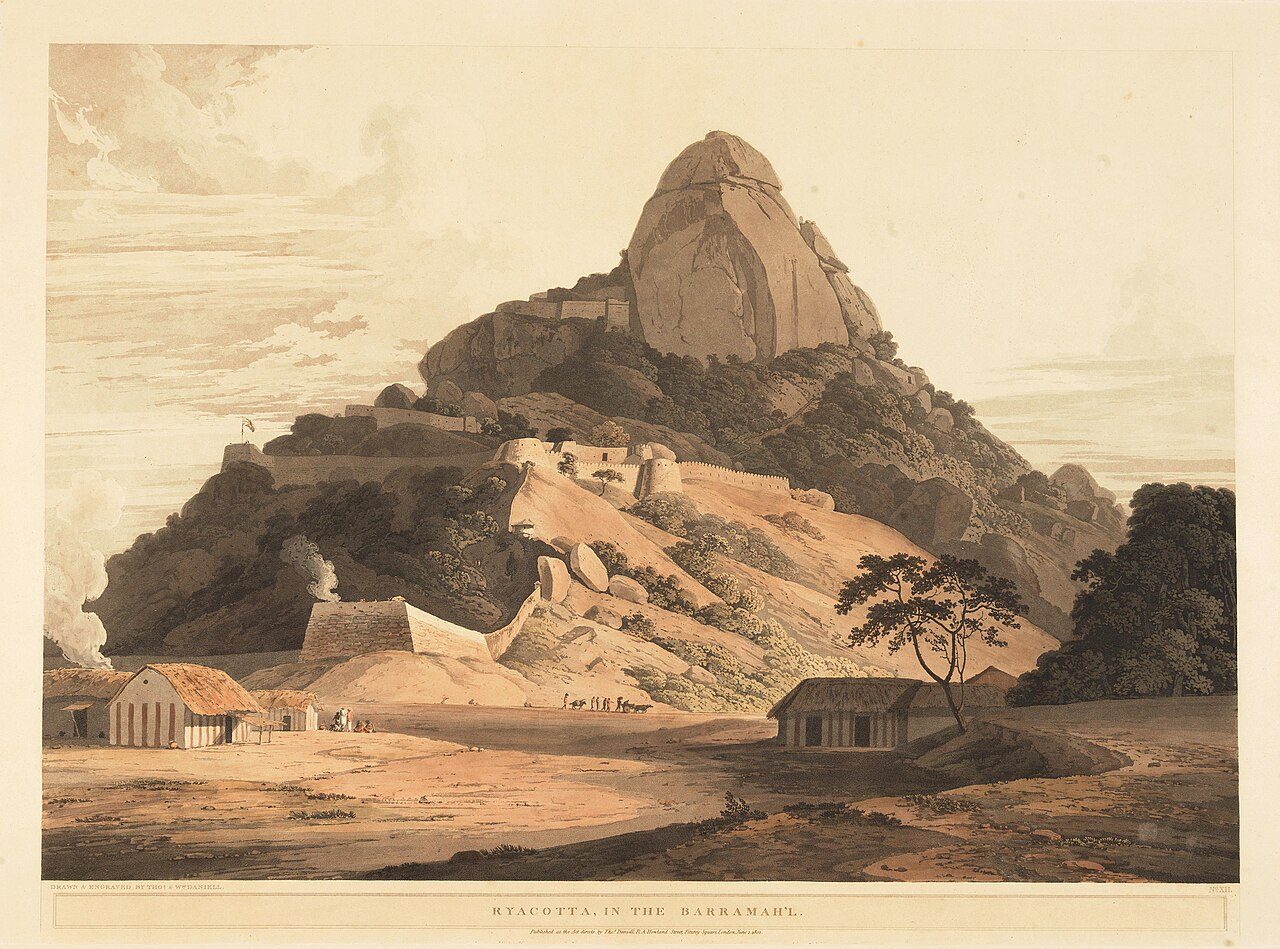
A hill fort built on a bare granite dome in the old Baramahal country, strengthened in the 18th century and stormed by the British in 1791 during the war against Tipu Sultan. Thomas Daniell's aquatint of Ryacotta made the rock familiar to English audiences soon afterwards. The climb to the ruined ramparts takes about an hour and opens onto long views across the surrounding hills.
Seasons from 20 years of NASA POWER climate data.
 WaTrips