Hatu Peak, Kamru Fort and Sangla, Chitkul and Kalpa, Nako, Gue and Tabo, Dhankar and Pin Valley, Kaza, Key, Kibber and Langza, Kunzum and Chandratal.
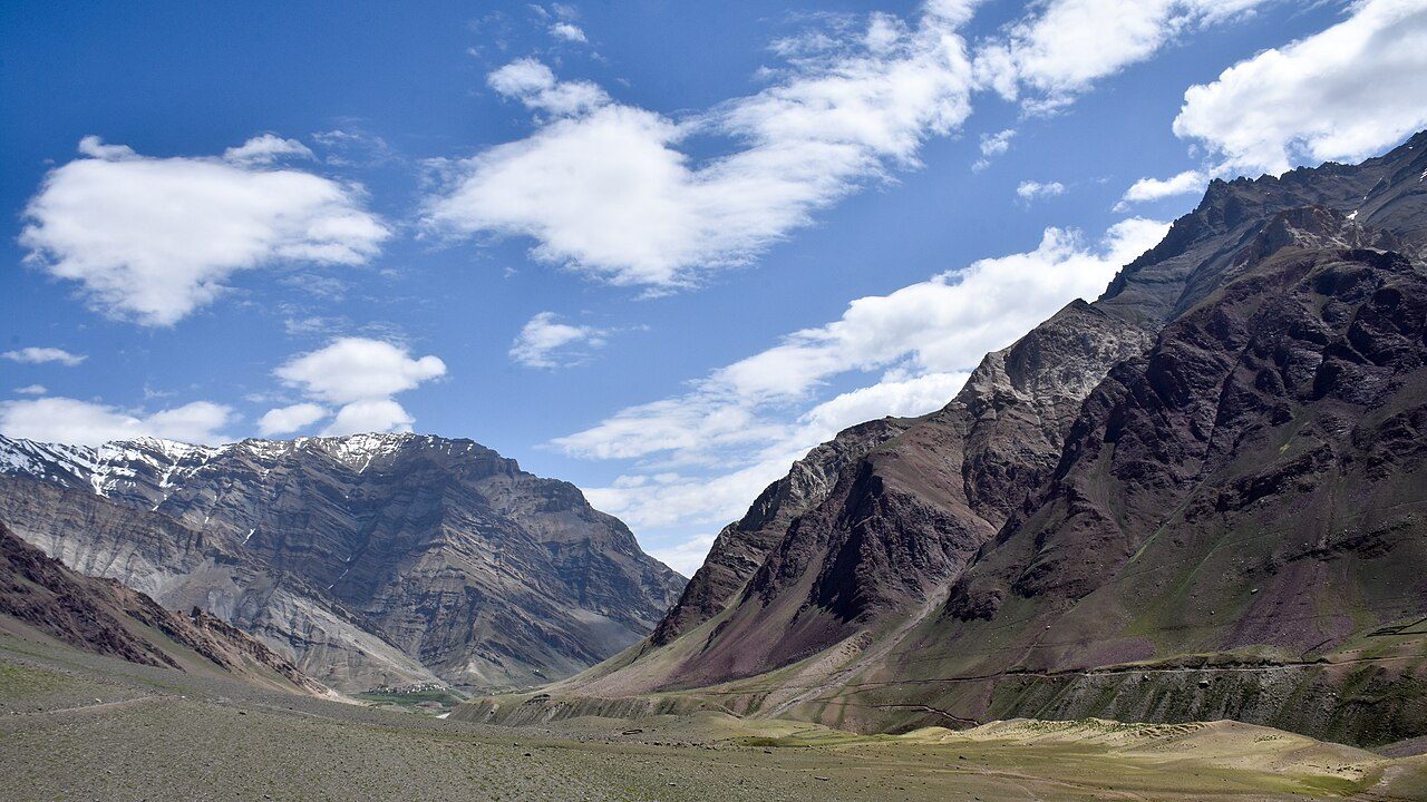
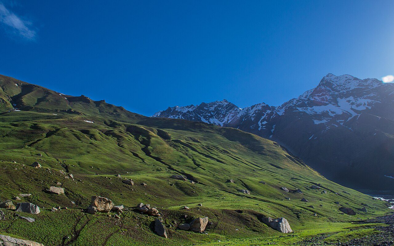
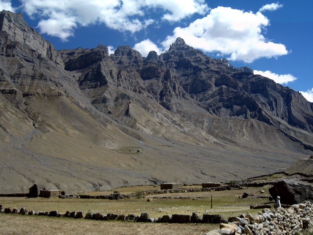
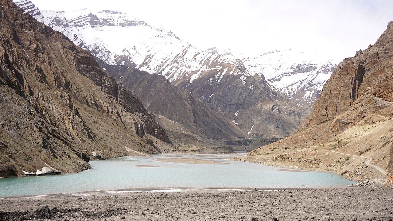
The Spiti circuit is one of India's great road trips, crossing from green Kinnaur into the high desert of Spiti. It starts at Hatu Peak near Narkanda, then follows the Sutlej to Kamru Fort and the Sangla Valley, Chitkul and Kalpa. Day four reaches Nako's lake, the mummy at Gue and Tabo's monastery, founded over a thousand years ago. The next days visit Dhankar Monastery on its cliff, the Pin Valley, Kaza, Key Monastery and the high villages of Kibber and Langza. The route then crosses Kunzum Pass to Chandratal lake and returns through the Atal Tunnel to Manali. It is usually open from June to October; acclimatise slowly and carry fuel.
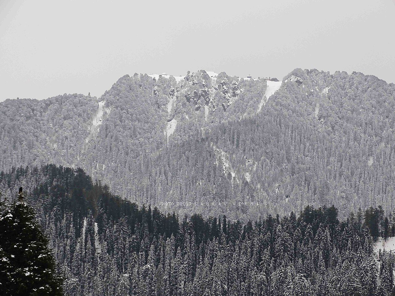
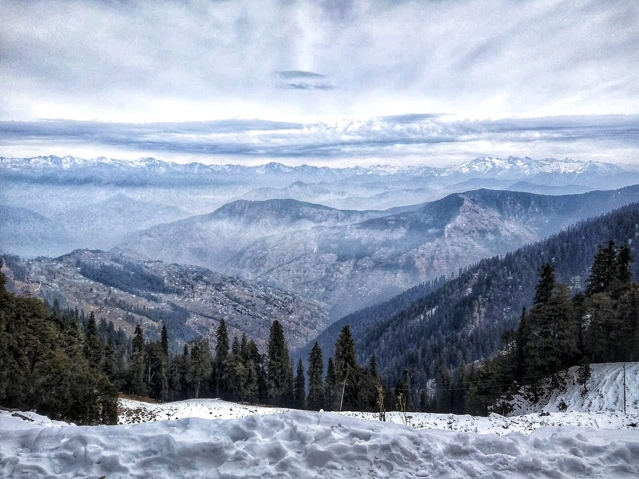
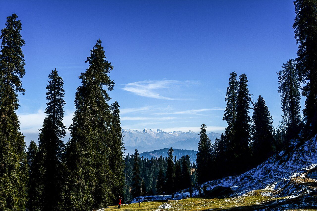
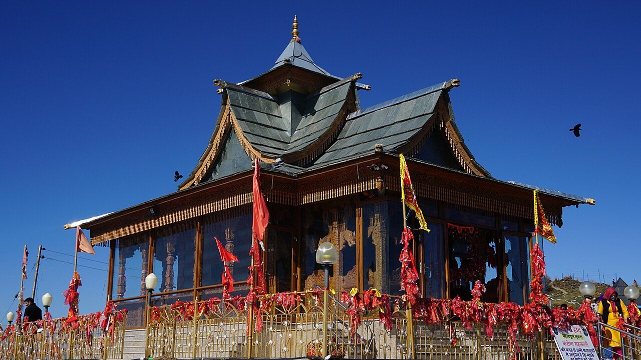
Hatu Peak rises to about 3,400 metres above Narkanda and is the highest point in the Shimla region. A narrow road climbs through spruce and fir forest to the summit, where the wooden Hatu Mata temple stands. The top gives a full panorama of the Himalayan snow ranges. Snow blocks the road for part of the winter; April to June and October are the best months.
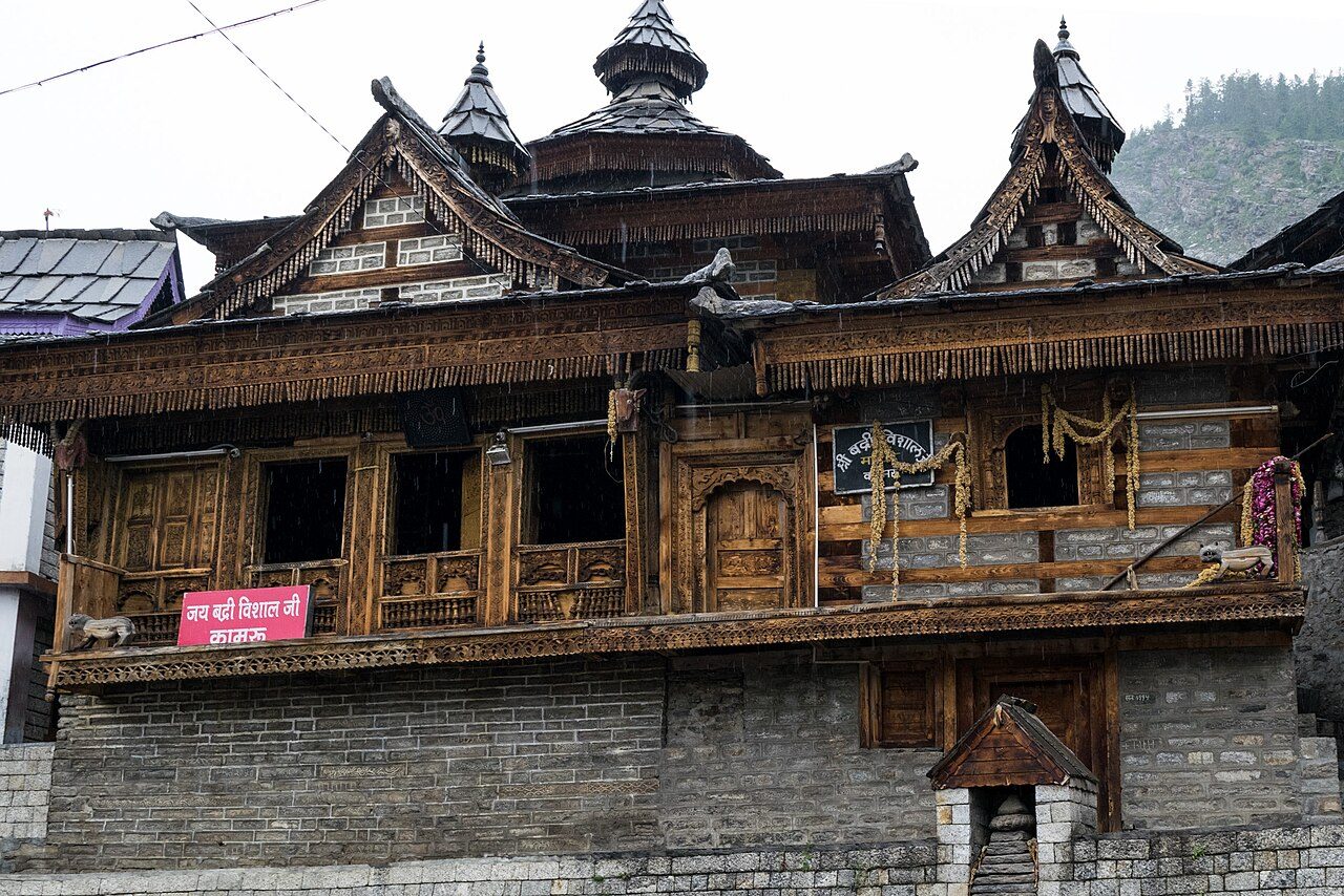
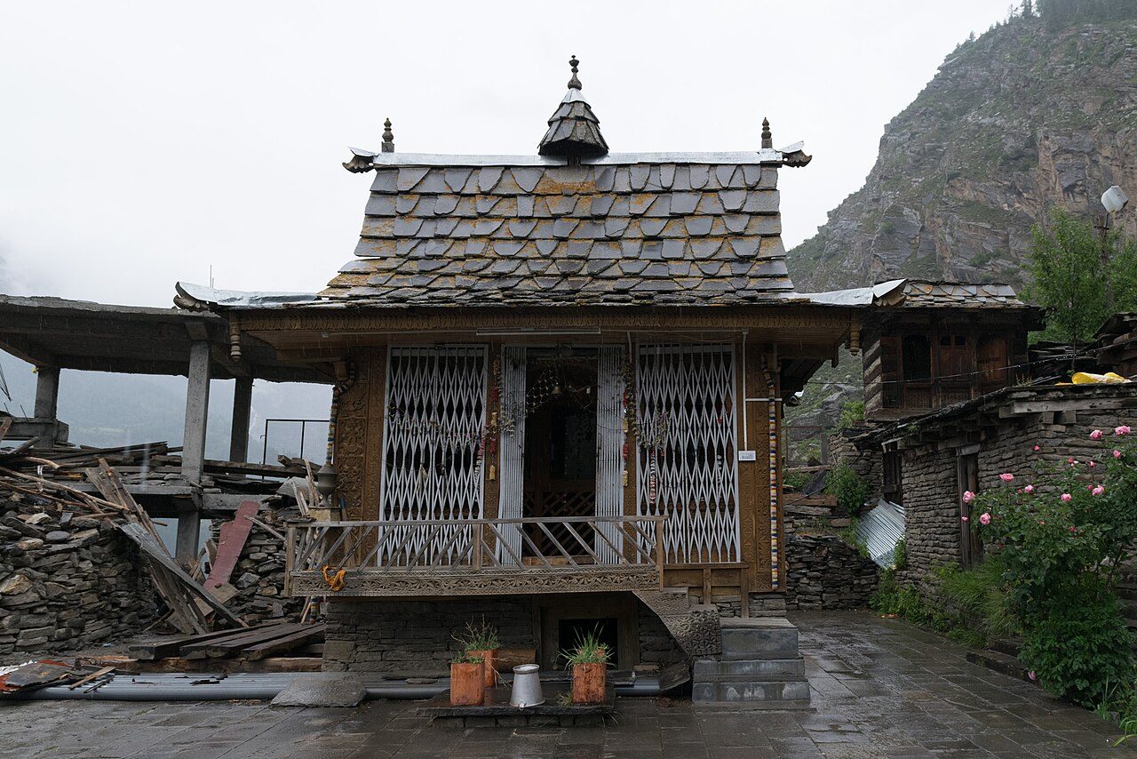
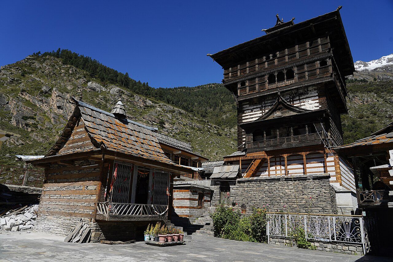
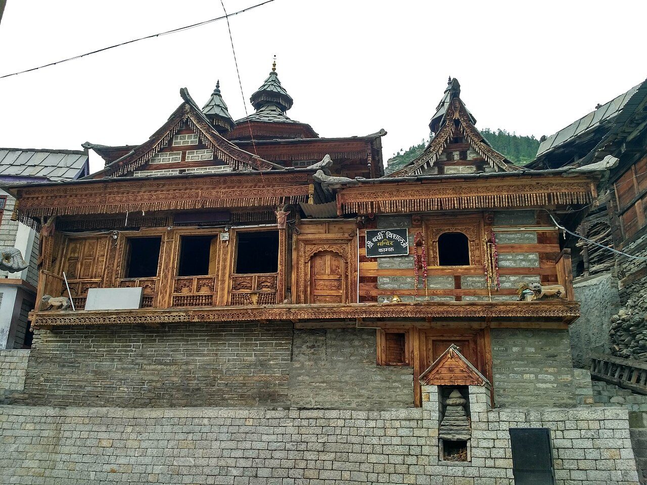
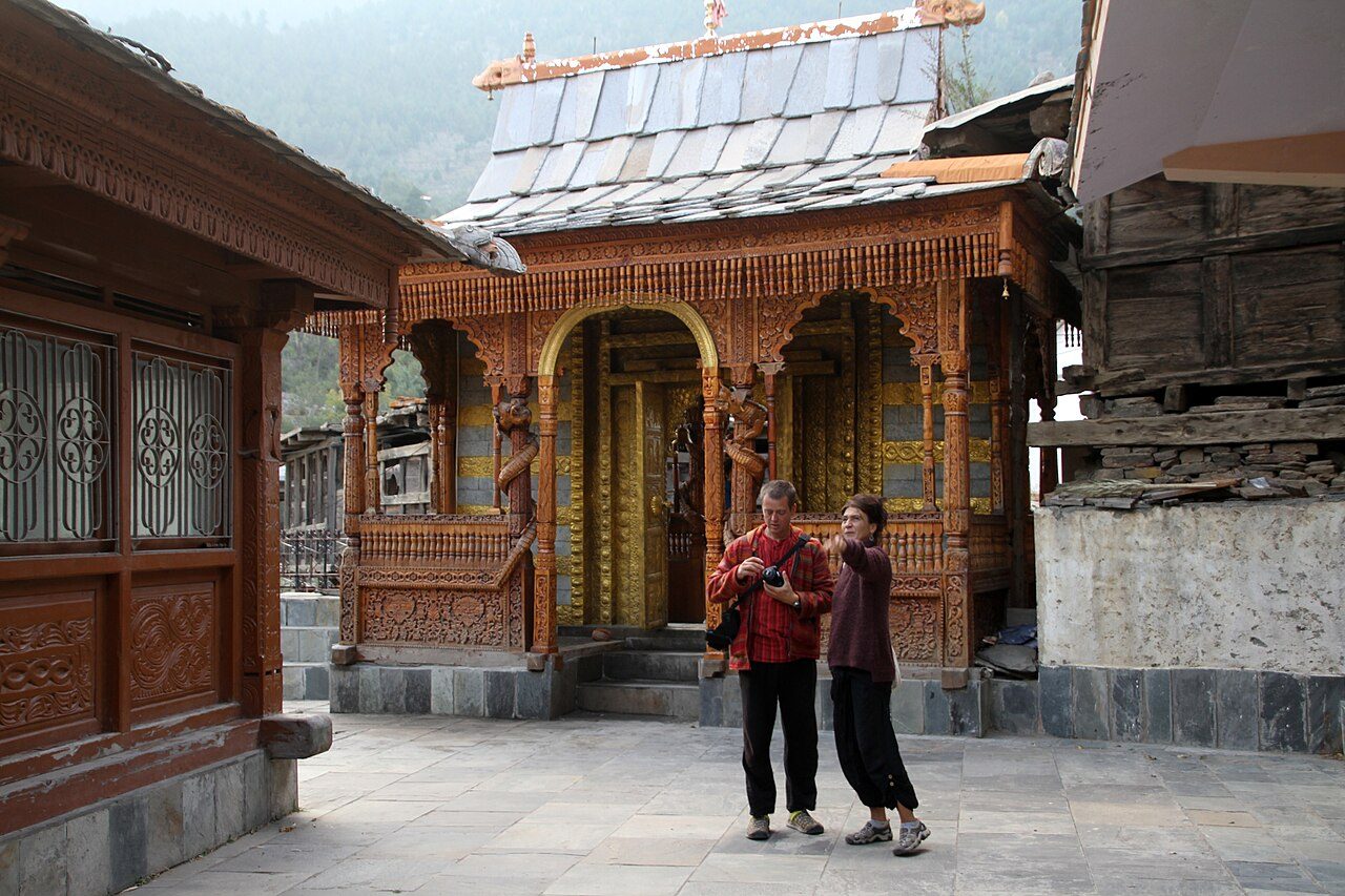
Kamru Fort stands on a rock above the village of Kamru, a short climb from Sangla. The tower-like building of stone and timber, several storeys high, was the original seat of the Bushahr rulers and now houses a shrine to the goddess Kamakhya. Visitors must wear a Kinnauri cap and waistband, provided at the gate, to enter the courtyard. A temple to Badrinath stands in the village below.
03
STOP 3 OF 18
Sangla Valley
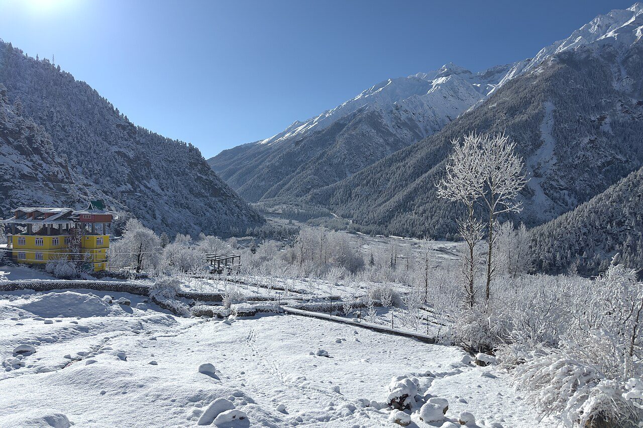
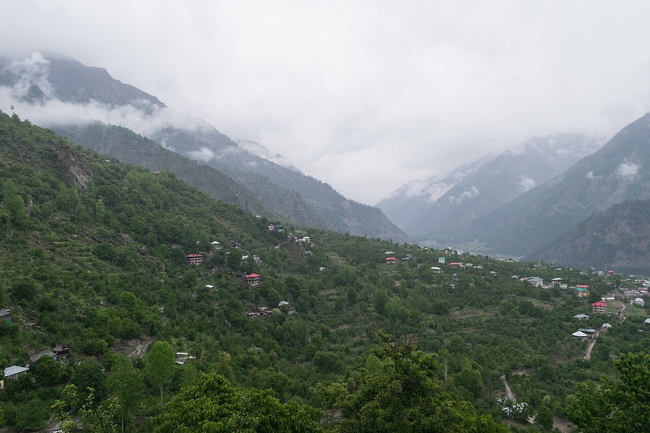
The Sangla valley follows the Baspa River in Kinnaur between steep forested slopes and snow peaks. Sangla, its main village at about 2,680 metres, is surrounded by apple and apricot orchards and wooden houses with slate roofs. It is the base for visits to Kamru Fort, Rakcham and Chitkul. April to June and September to October are the best months; apples are picked in autumn.
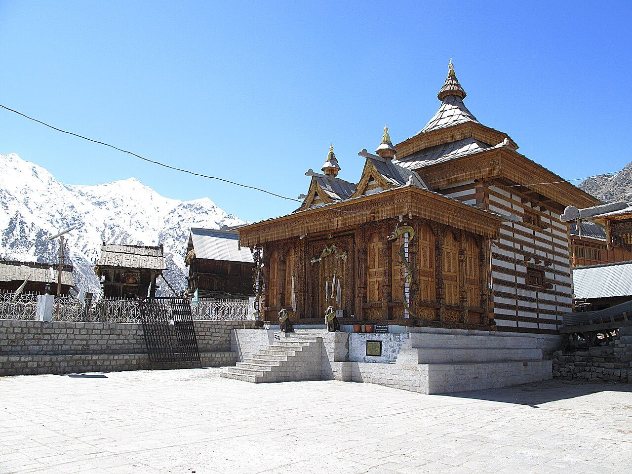
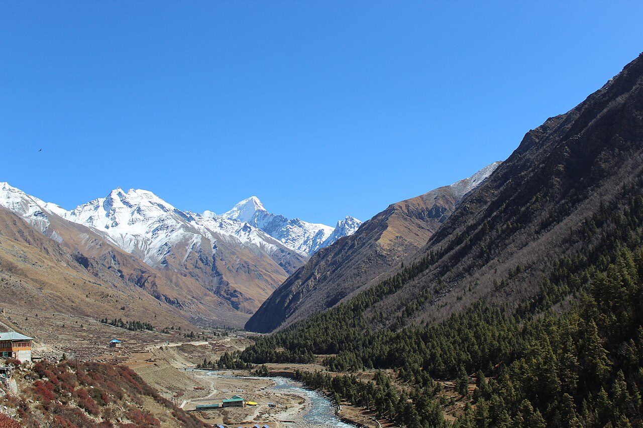
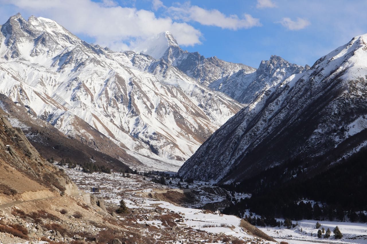
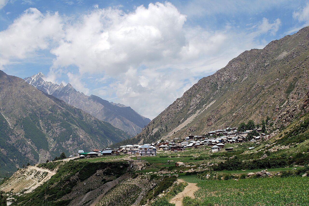
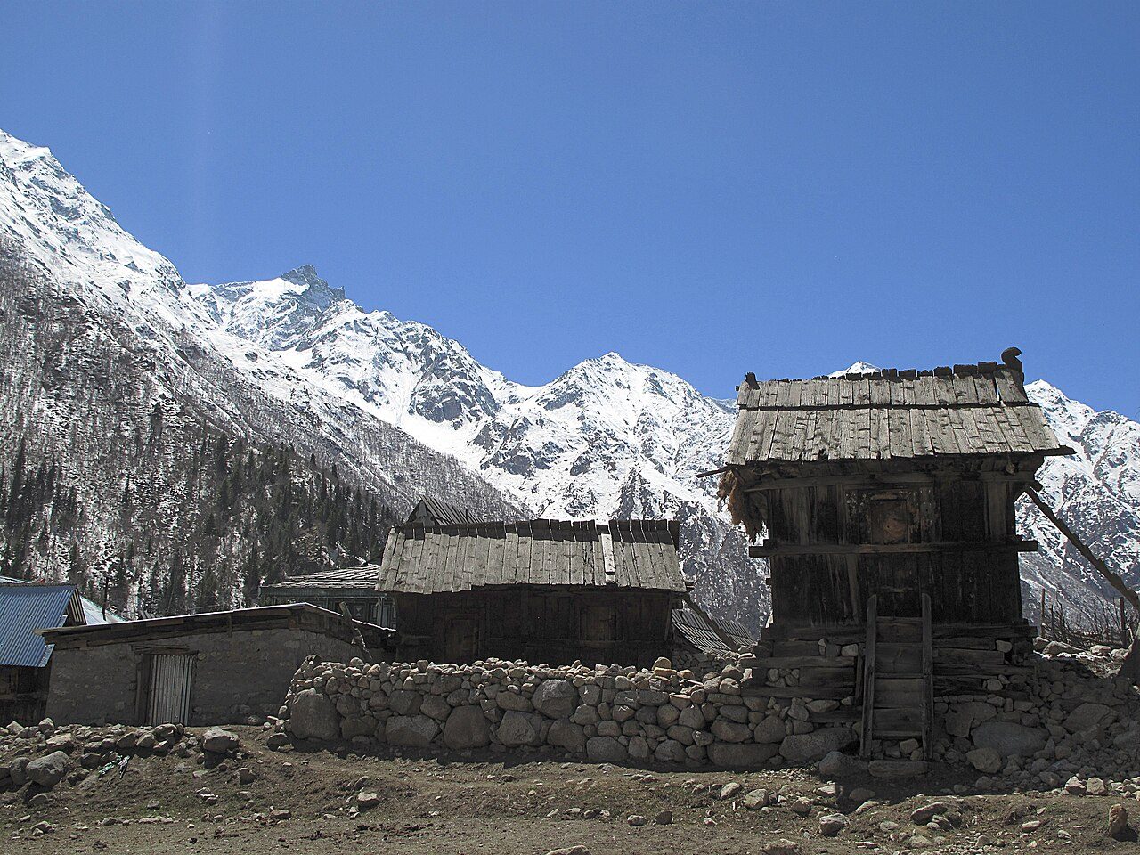
Chitkul, at about 3,450 metres, is the last inhabited village on the old Indo-Tibetan trade route in the Baspa valley, 24 km beyond Sangla. Wooden houses, a temple to the goddess Mathi and a small Buddhist shrine sit beside the river beneath bare snow peaks. Potatoes grown here are prized. The road is usually blocked by snow from November to March.
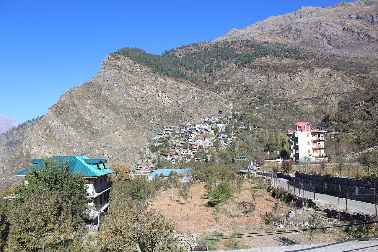
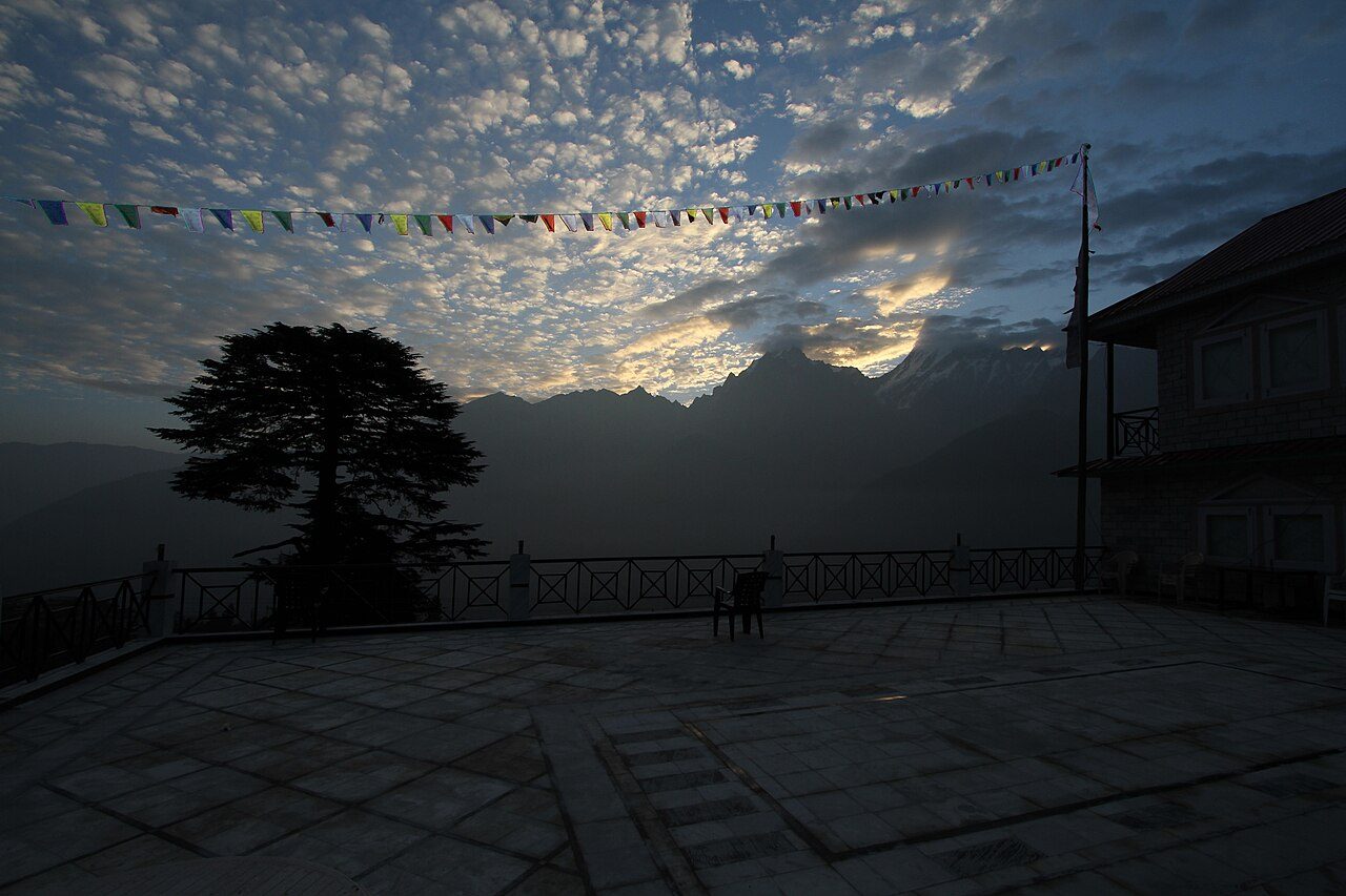
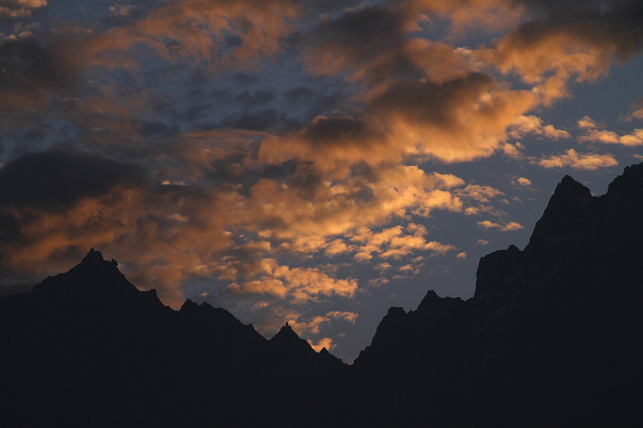
Kalpa is a village at about 2,960 metres above Reckong Peo in Kinnaur, set among apple orchards and facing the Kinner Kailash range directly across the Sutlej gorge. A rock pillar near the summit, regarded as a Shivalinga, changes colour through the day. The village has an old Hindu temple and a Buddhist monastery side by side. Sunrise on the peaks is the highlight.
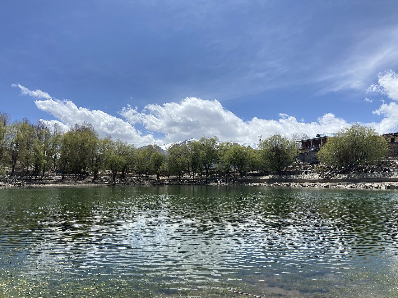
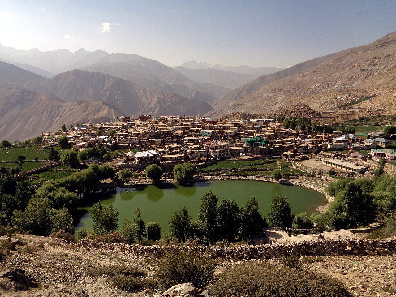
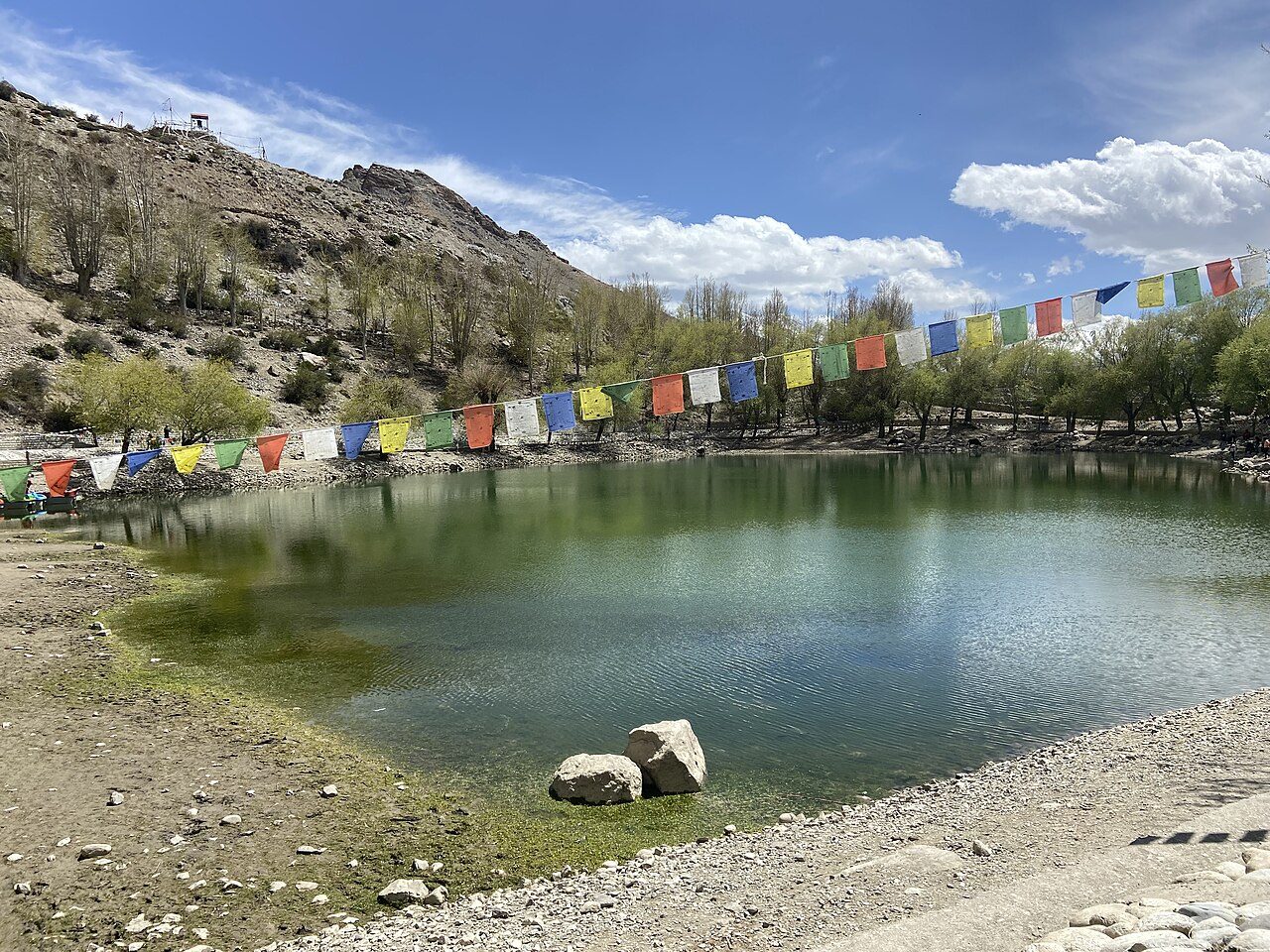
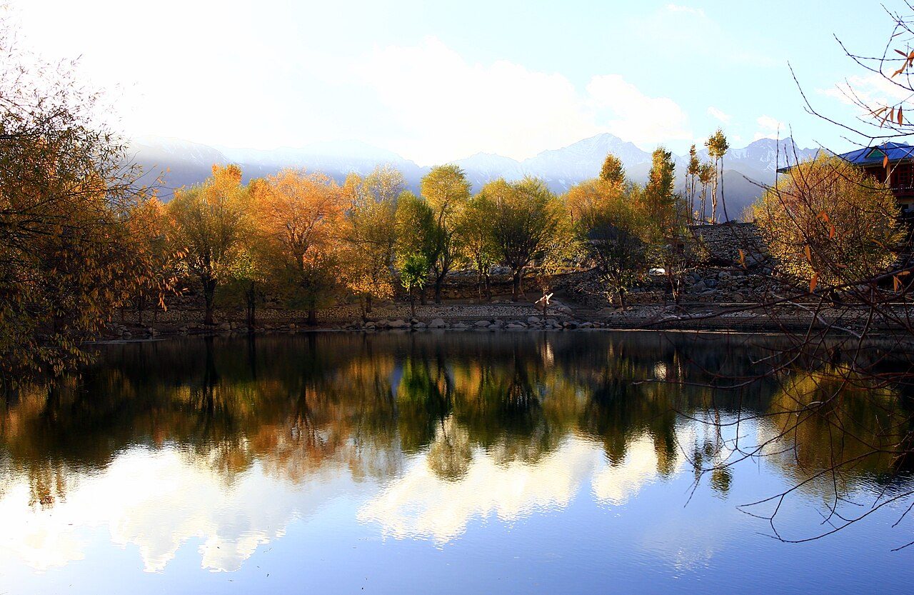
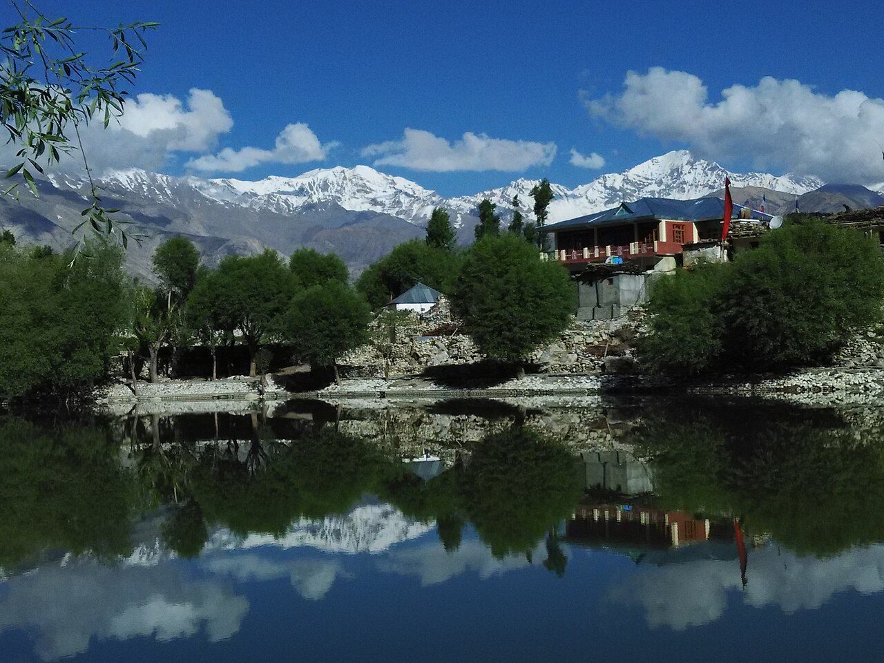
Nako Lake is a small high-altitude lake at about 3,660 metres in the village of Nako in upper Kinnaur, close to the Tibetan border. Willows and poplars line its shore, and it freezes in winter. The village has a monastery complex with temples dating from the 11th century and rock said to bear the footprint of Padmasambhava. It is a customary halt on the road to Spiti.
07
STOP 7 OF 18
Gue Monastery Mummy
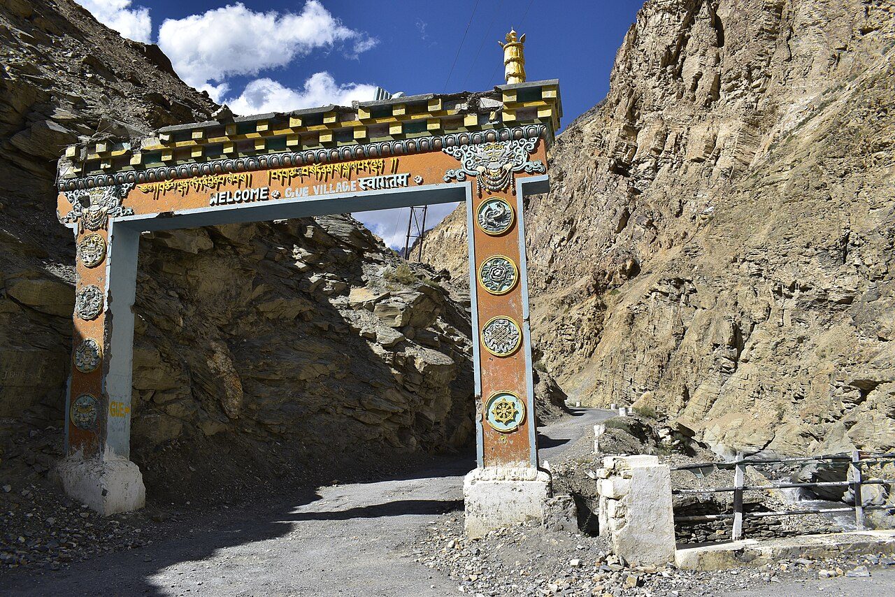
Gue, a small village near the Tibetan border in Spiti, keeps the naturally preserved mummy of a Buddhist monk, Sangha Tenzin, believed to be about 500 years old. The body, seated in a meditation posture, was found after an earthquake in 1975 and is displayed in a small shrine beside a new monastery. The village is reached by a side road off the highway between Sumdo and Tabo.
08
STOP 8 OF 18
Tabo Monastery
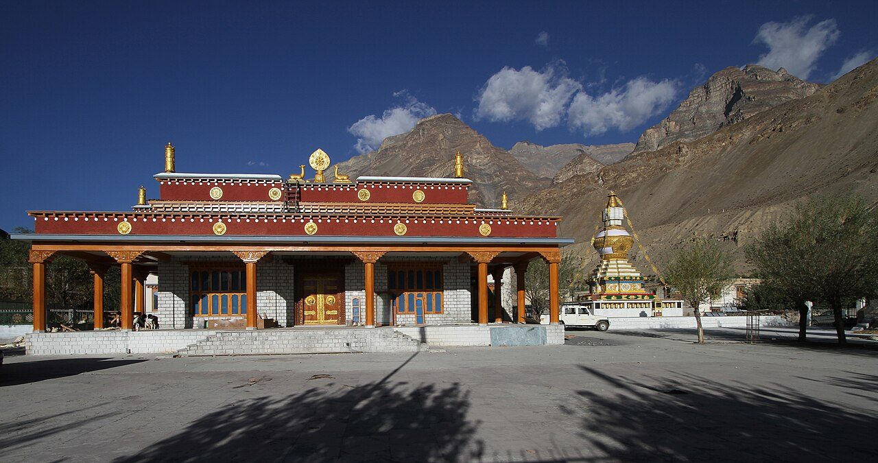
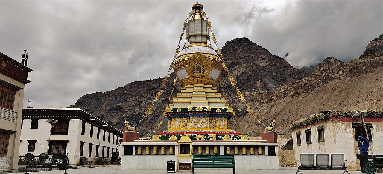
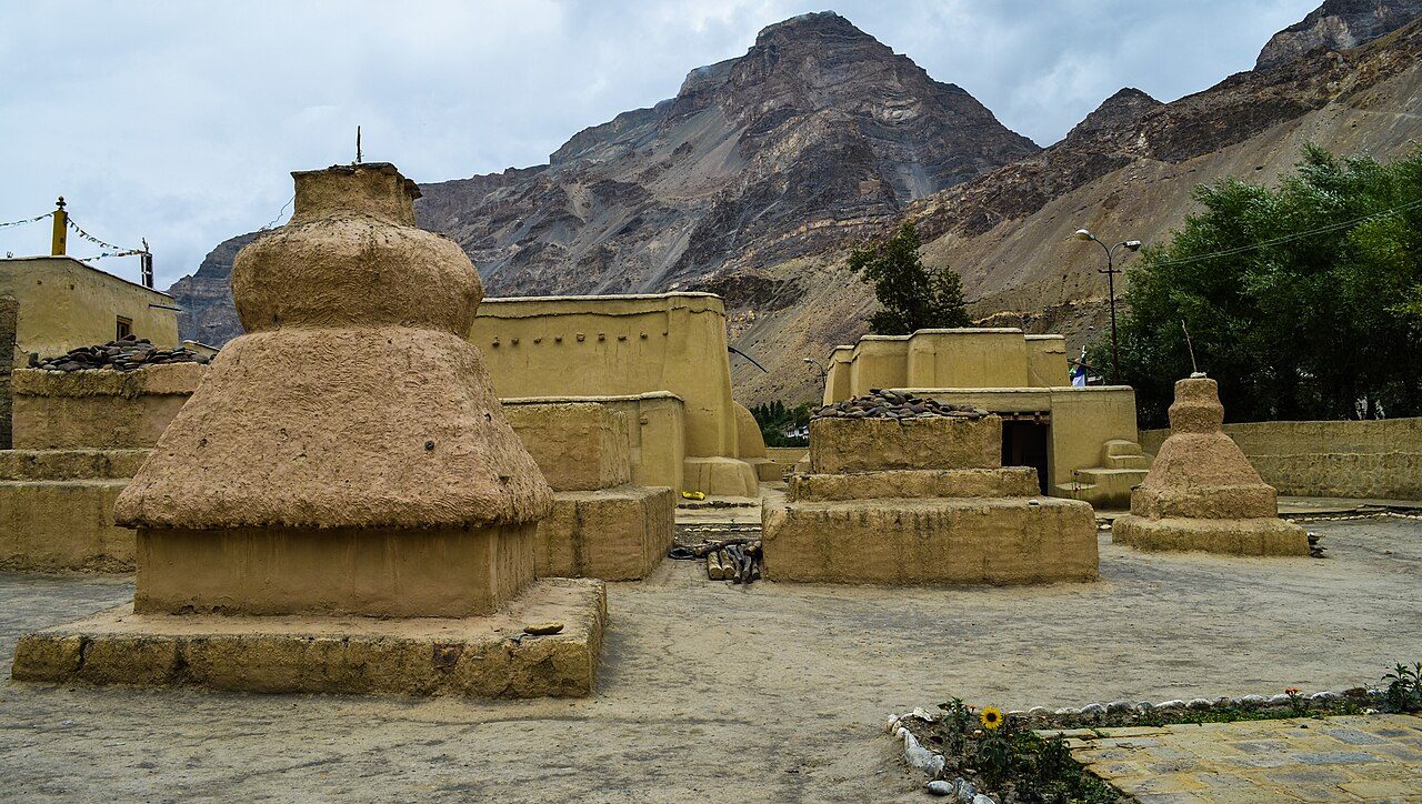
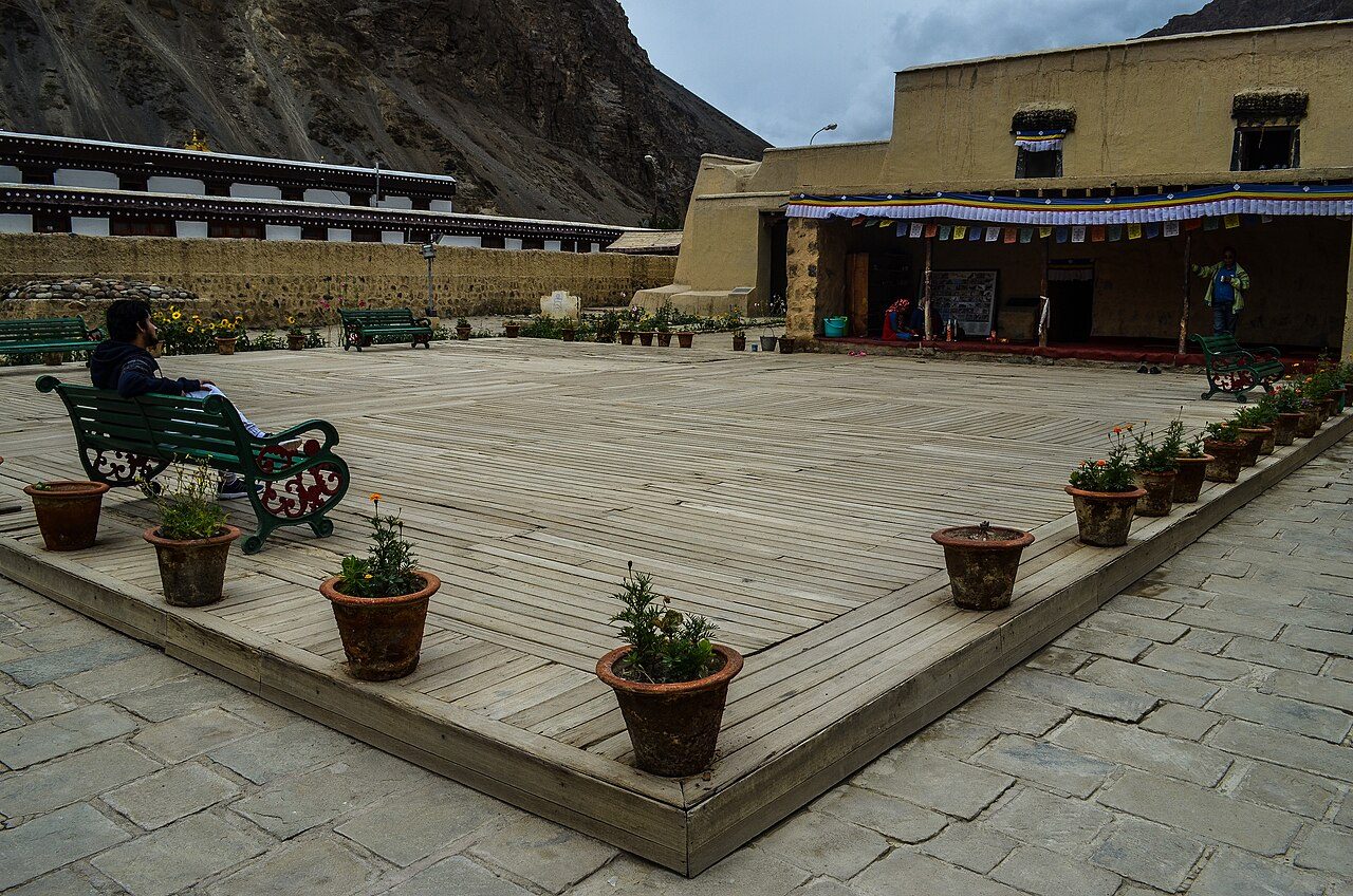
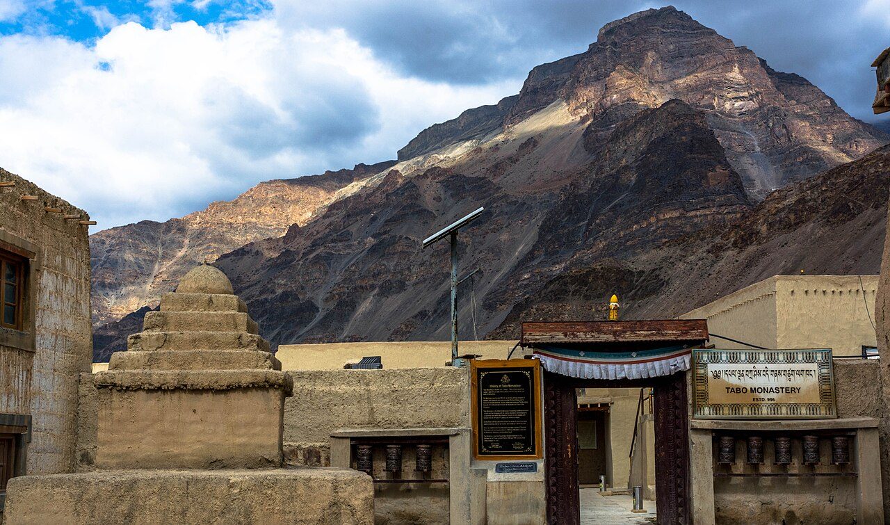
Tabo Monastery, founded in 996 by the translator Rinchen Zangpo, is one of the oldest continuously functioning Buddhist monasteries in India. Its low mud-walled temples hide wall paintings and stucco sculptures of extraordinary quality, earning it the name 'Ajanta of the Himalayas'. Photography inside is not allowed. Meditation caves are cut into the cliff above the village.
09
STOP 9 OF 18
Dhankar Monastery
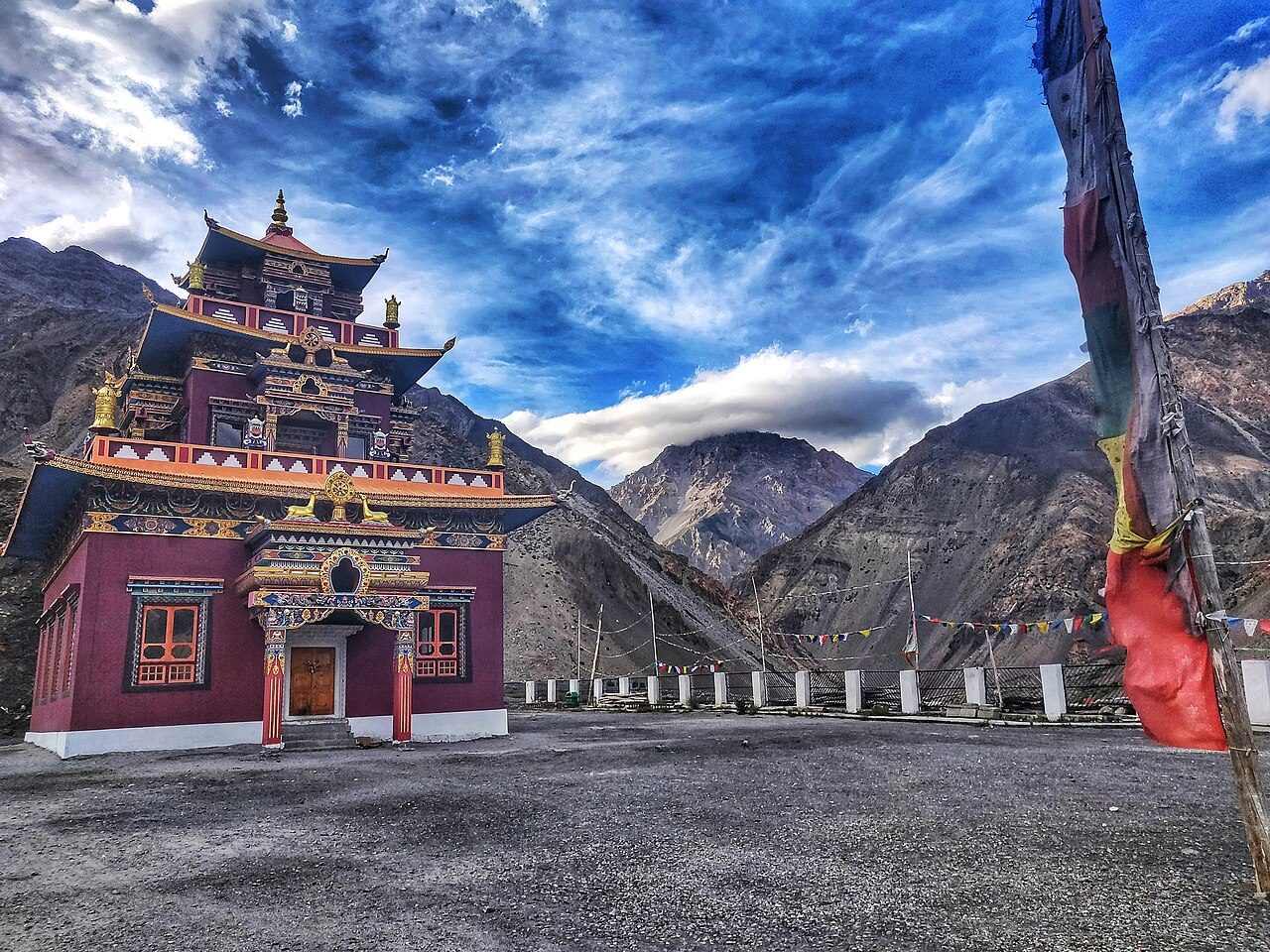
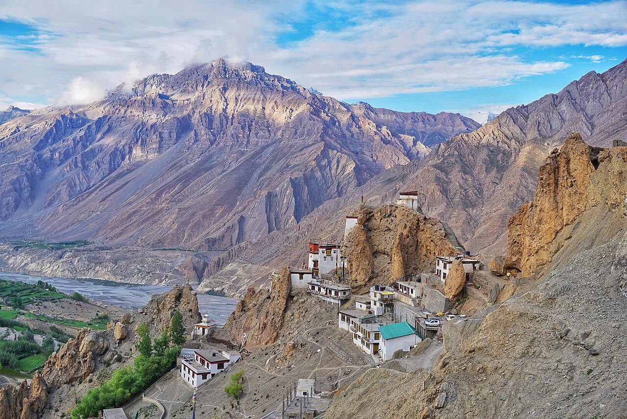
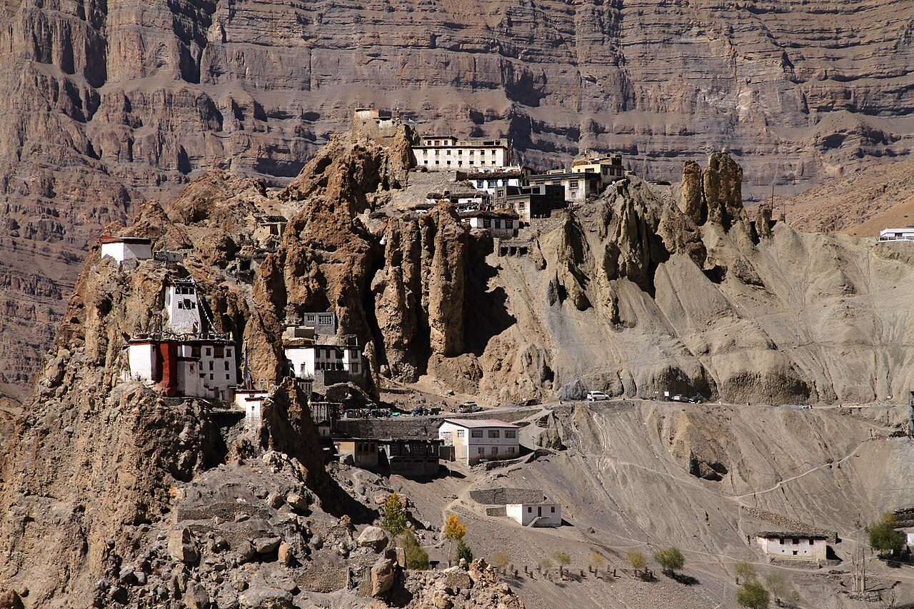
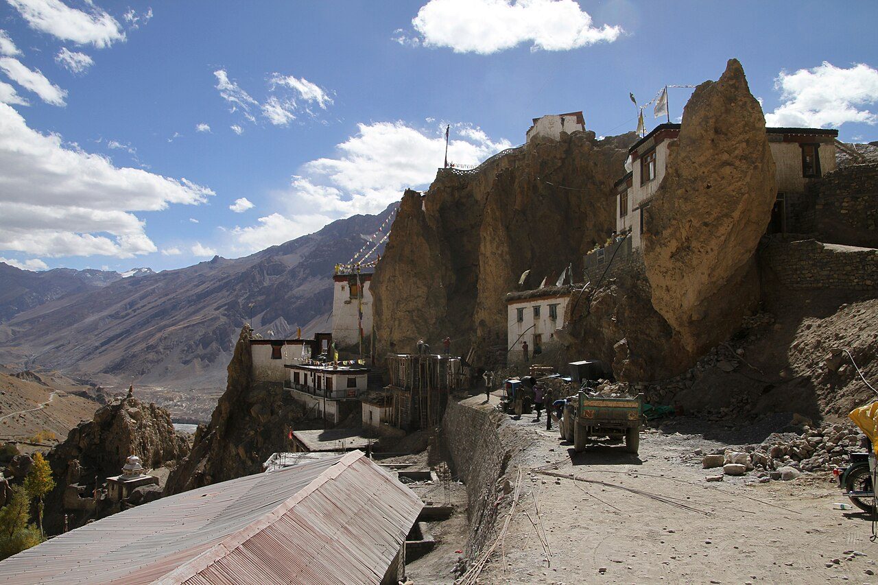
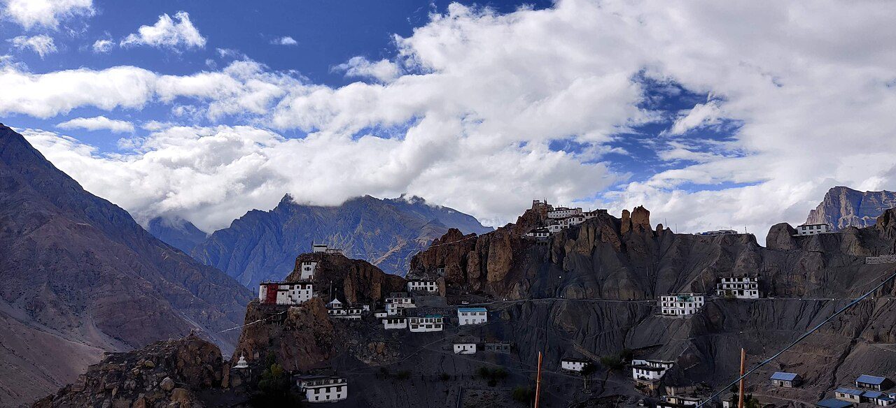
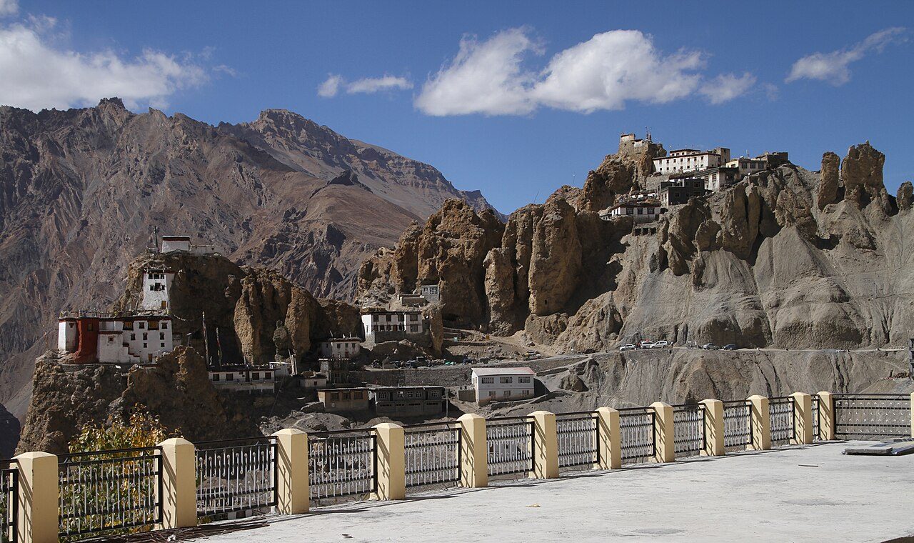
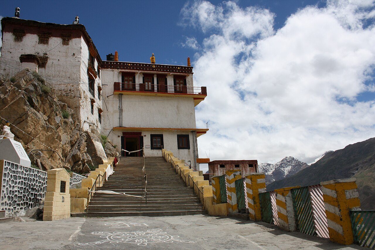
Dhankar Monastery clings to a spur of eroded rock at about 3,900 metres above the confluence of the Spiti and Pin rivers. Dhankar was once the capital of Spiti, and the gompa, over a thousand years old, shares the ridge with the ruins of a fort. The old building is fragile and a new monastery has been built below. A walk of about an hour leads up to Dhankar Lake.
10
STOP 10 OF 18
Pin Valley National Park
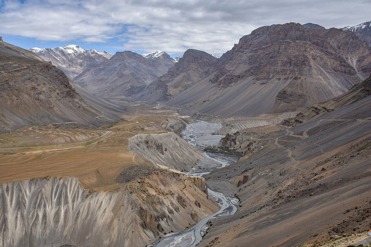
Pin Valley National Park protects a cold desert valley in Spiti, known for snow leopards and Siberian ibex and for the green fields that contrast with its bare slopes. Mud, the last village on the road, is the starting point for the Pin Parvati and Pin Bhaba treks. The valley's people follow the Nyingma school, with an old monastery at Kungri. It is accessible from about June to October.
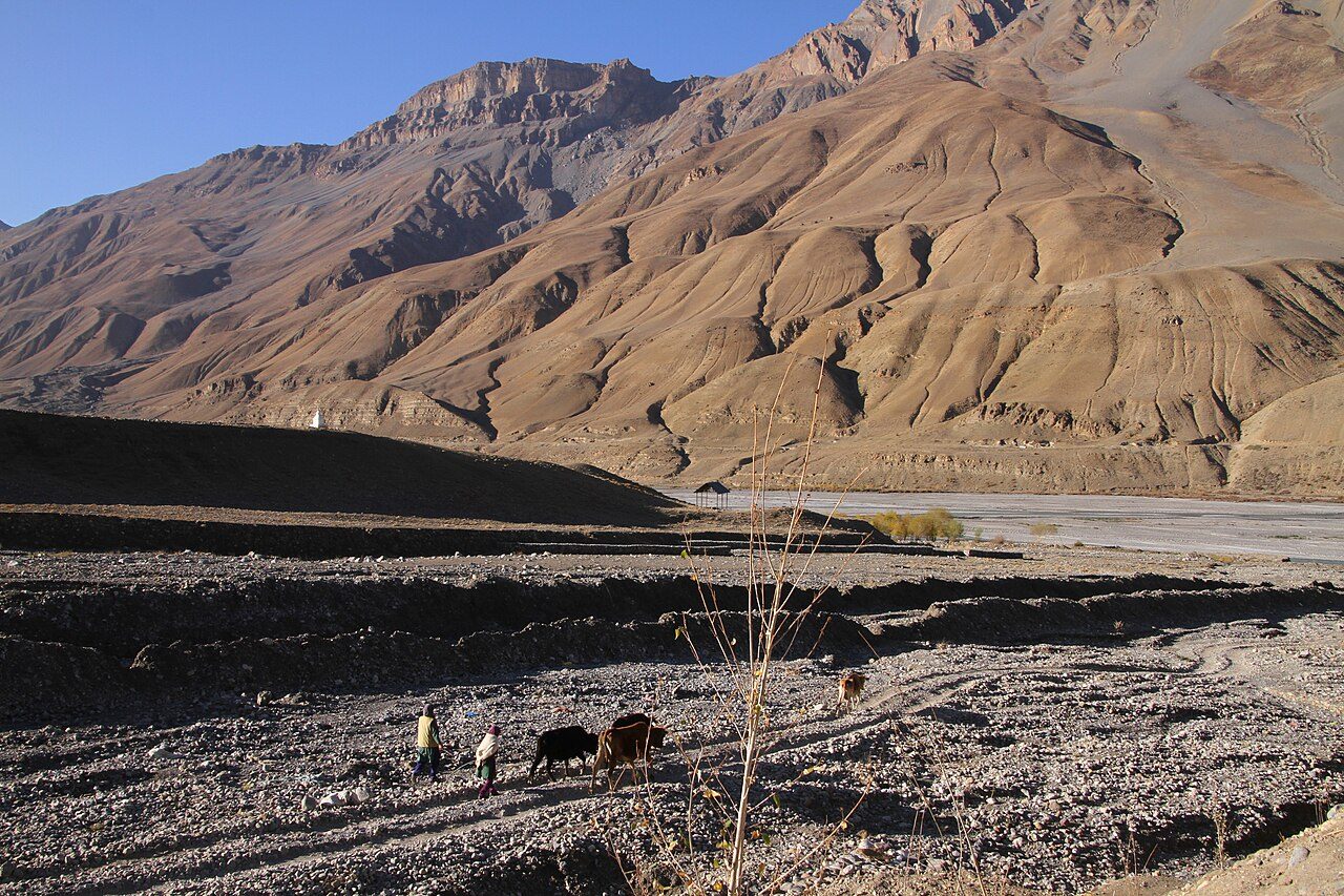
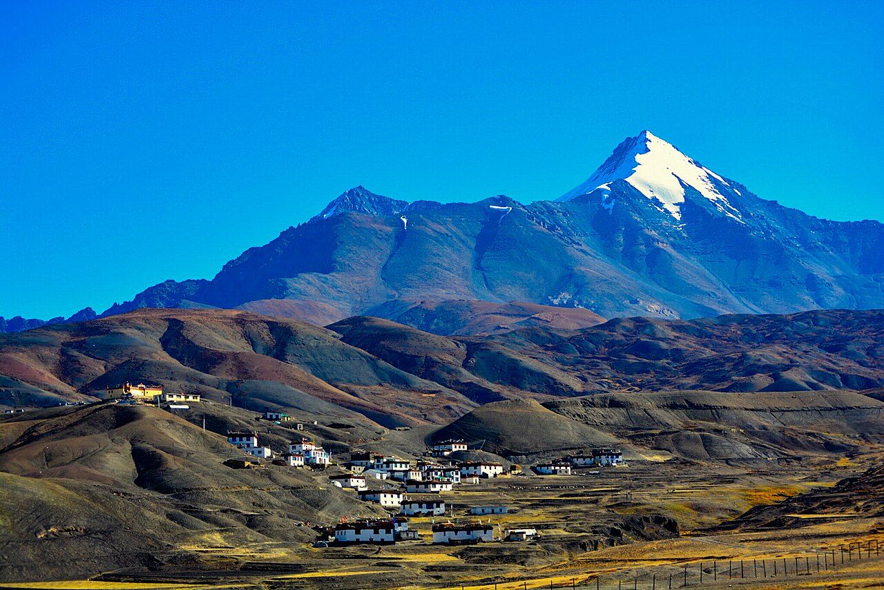
Kaza, at about 3,650 metres on the Spiti River, is the main town and headquarters of Spiti. The old quarter has a traditional bazaar and the new one government offices, with the colourful Sakya monastery between them. It has the valley's fuel station, hotels and cafes, and is the base for trips to Key, Kibber, Langza, Hikkim and Komic. Spend a day here to acclimatise.
12
STOP 12 OF 18
Key Monastery
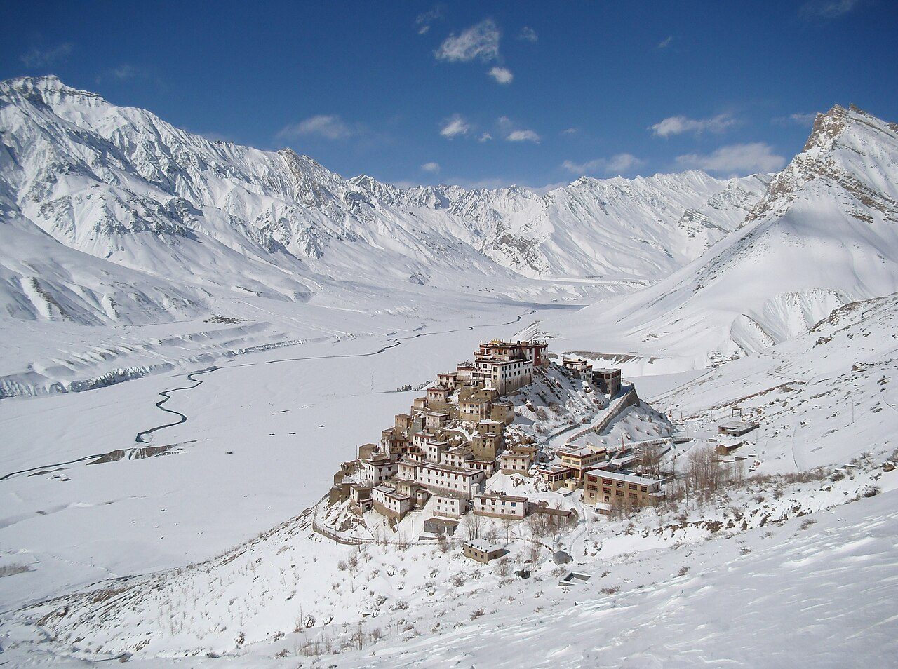
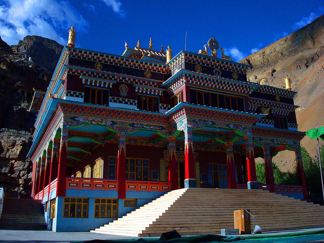
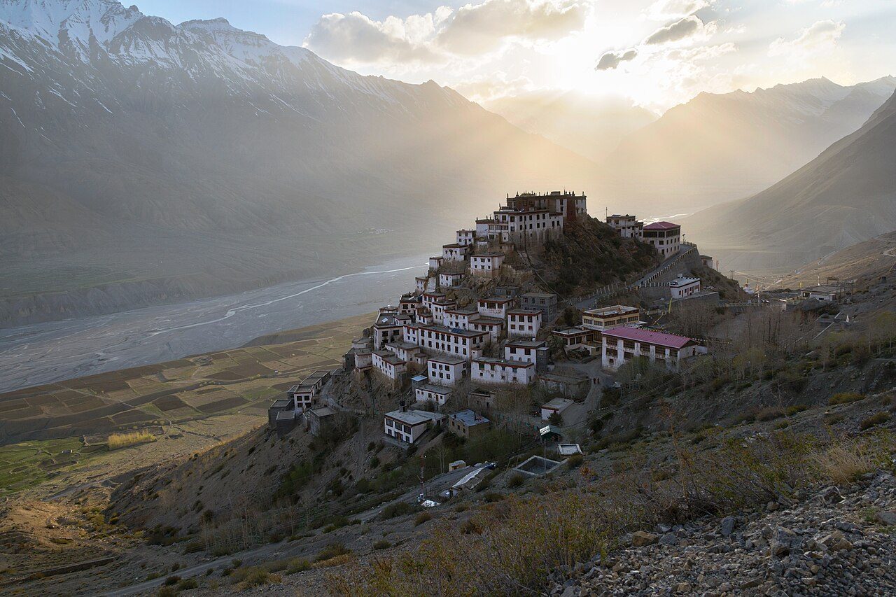
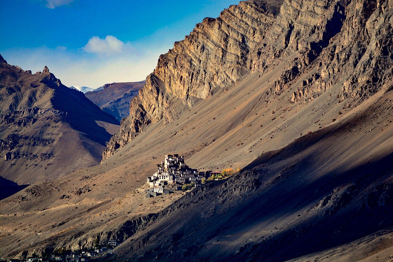
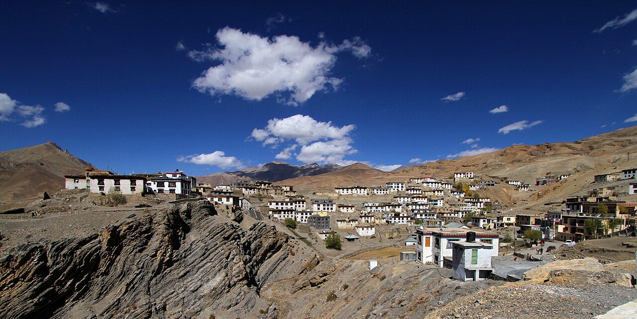
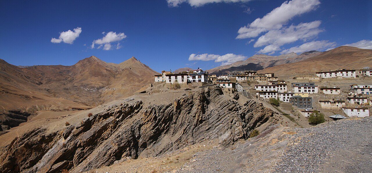
Key Monastery is the largest monastery in Spiti, piled up a conical hill at about 4,160 metres above the Spiti River, 14 km from Kaza. Founded about a thousand years ago and rebuilt after raids, fire and earthquake, it belongs to the Gelug school and trains several hundred monks. Its prayer rooms hold old murals, thangkas and manuscripts. The view from the road below is the classic image of Spiti.
Kibber, at about 4,270 metres, is one of the highest villages in the world reachable by road, 19 km from Kaza. Stone houses in the Tibetan style cluster on a limestone slope. The Kibber Wildlife Sanctuary around it is among the best places in India to look for snow leopards in winter, and ibex and blue sheep are often seen. The air is thin, so acclimatise first.
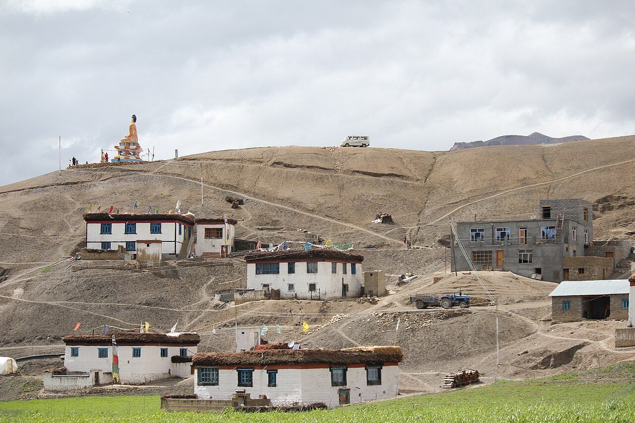
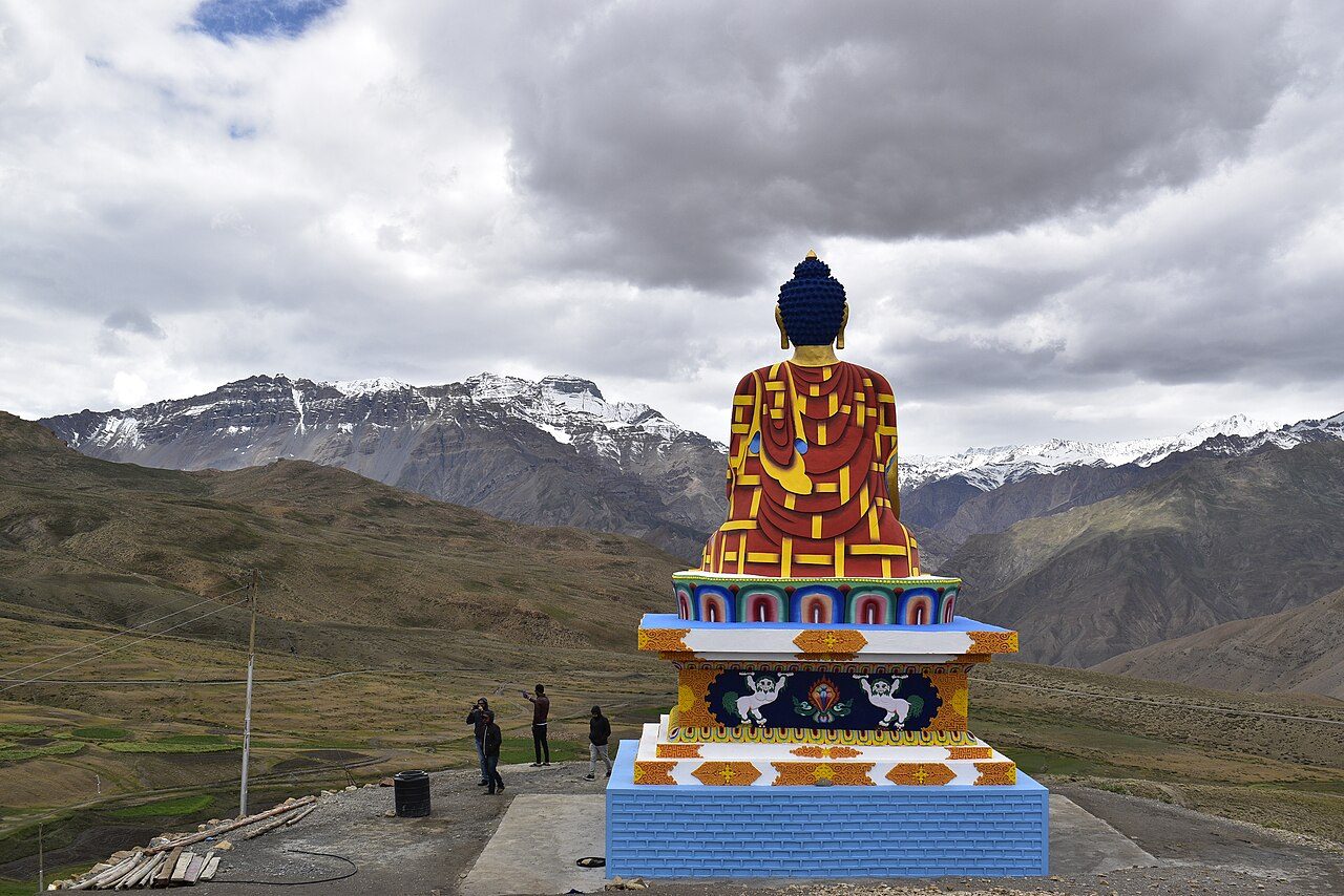
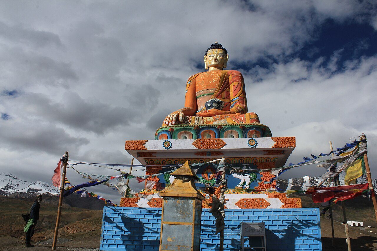
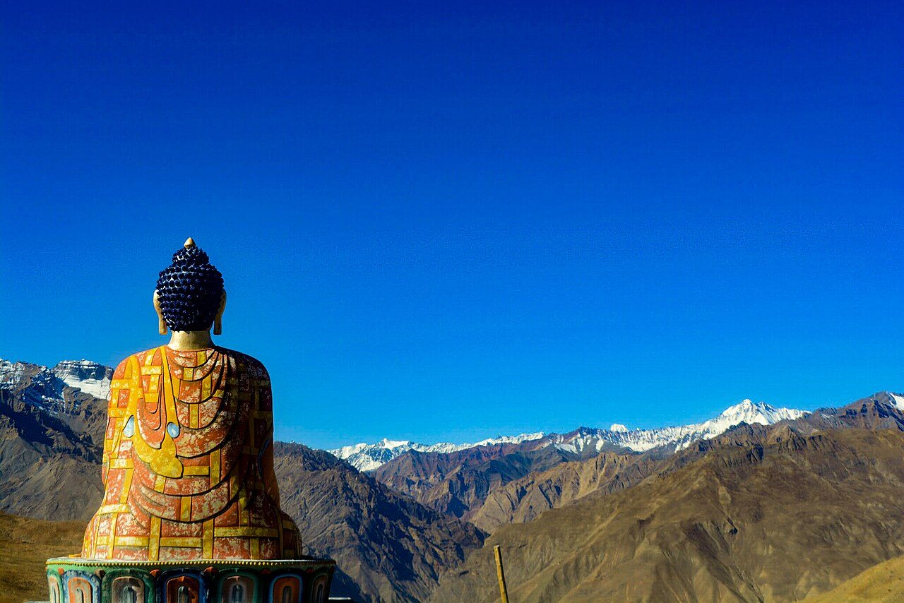
Langza is a village at about 4,400 metres above Kaza, watched over by a large statue of the Buddha facing the valley. Behind it rises the peak of Chau Chau Kang Nilda. The surrounding slopes are rich in marine fossils, a reminder that the Himalaya rose from the Tethys Sea; collecting them is discouraged. Homestays offer a simple overnight stop.
15
STOP 15 OF 18
Kunzum Pass
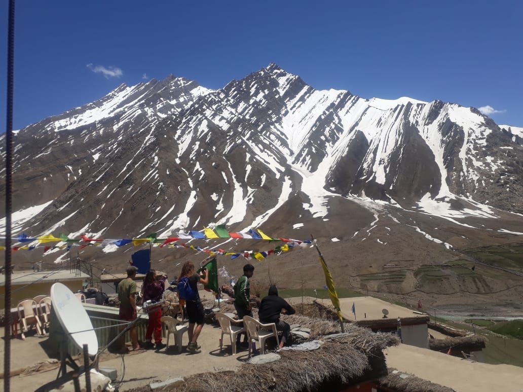
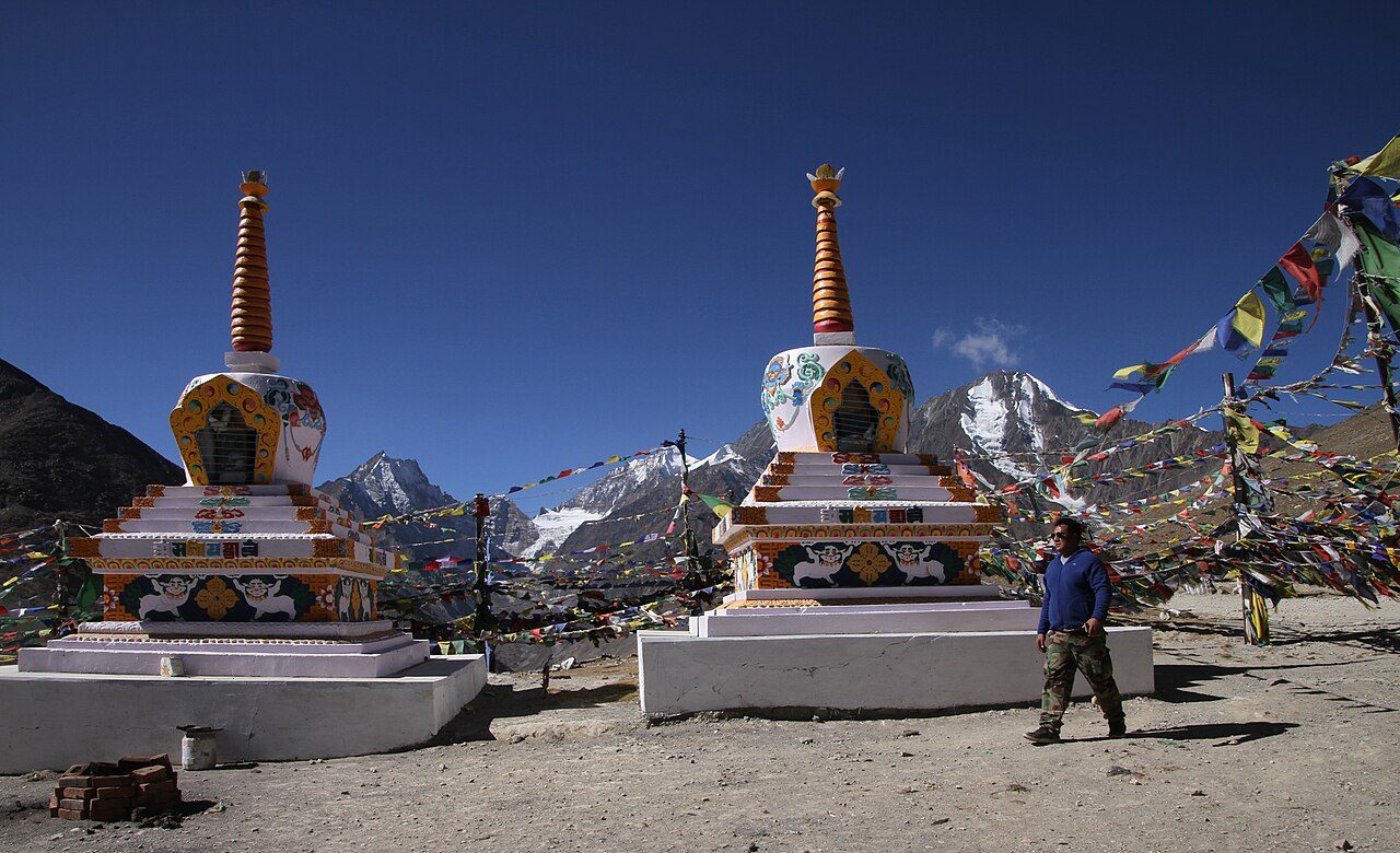
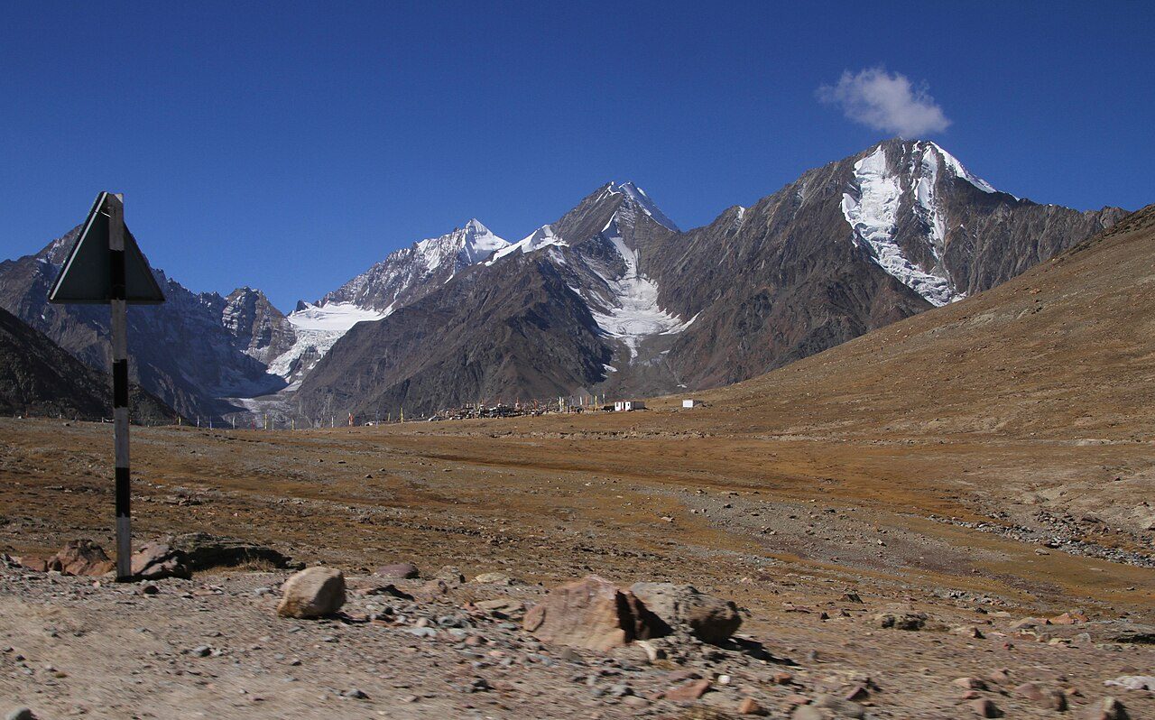
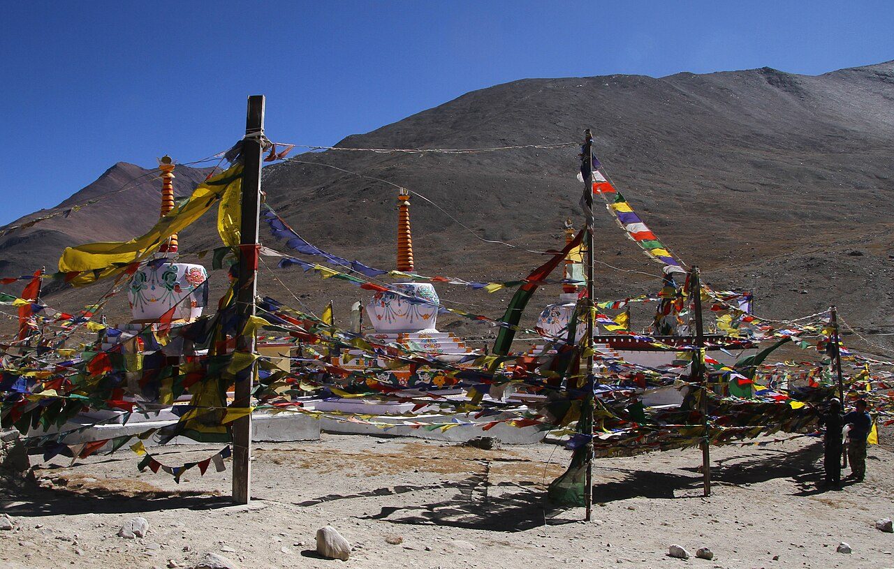
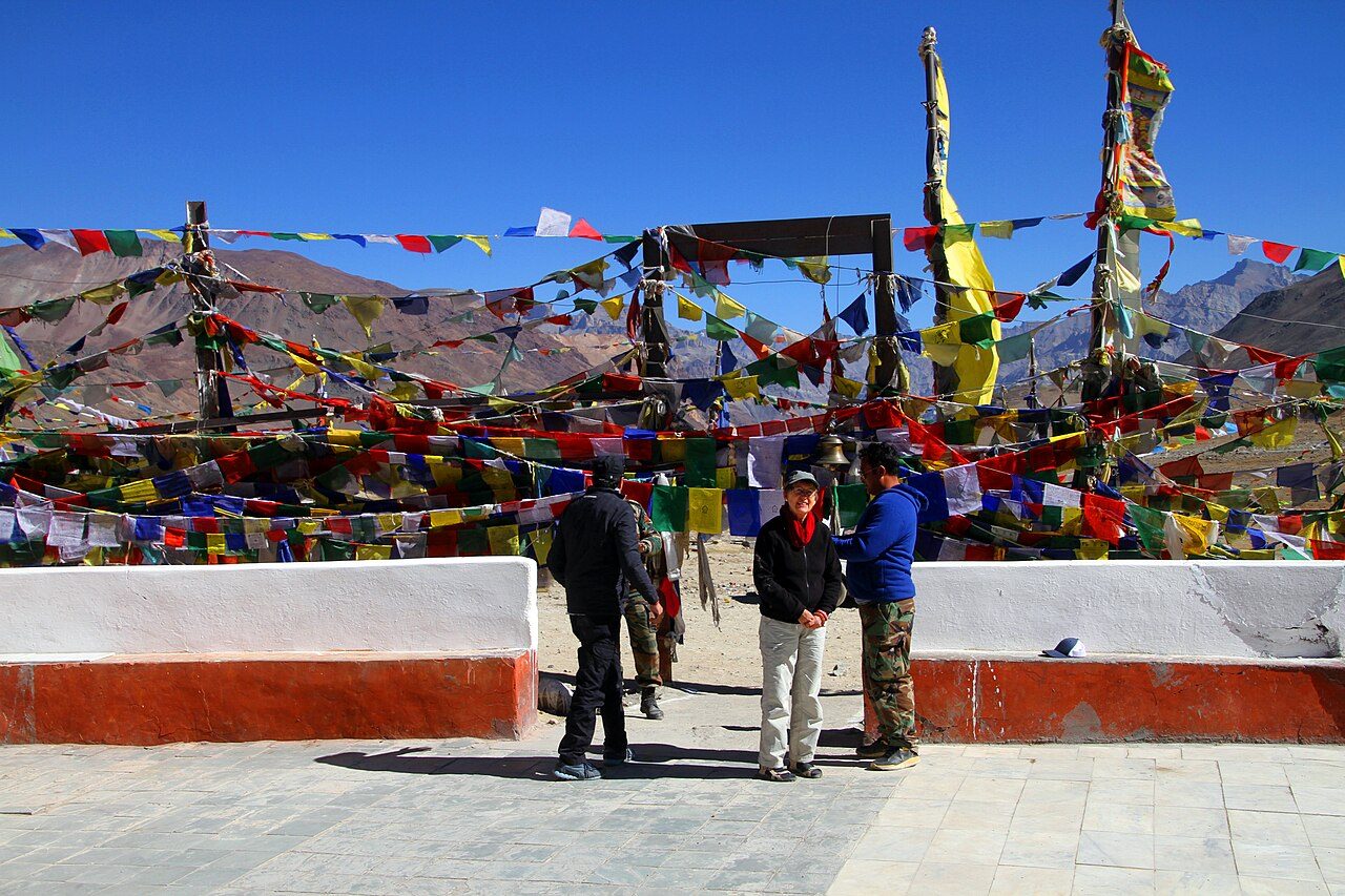
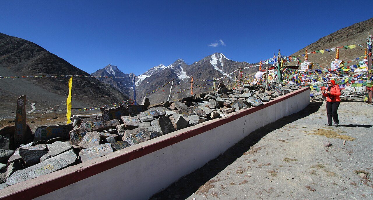
Kunzum Pass, at about 4,550 metres, connects Lahaul with Spiti on the road from Manali to Kaza. Prayer flags and chortens mark the top, and travellers traditionally circle the small temple of Kunzum Devi before driving on. The pass looks out on the Bara Shigri glacier and the Chandrabhaga peaks. It is open from roughly June to October.
16
STOP 16 OF 18
Chandratal Lake
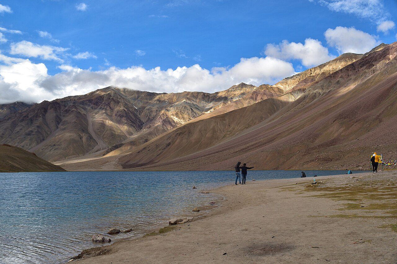
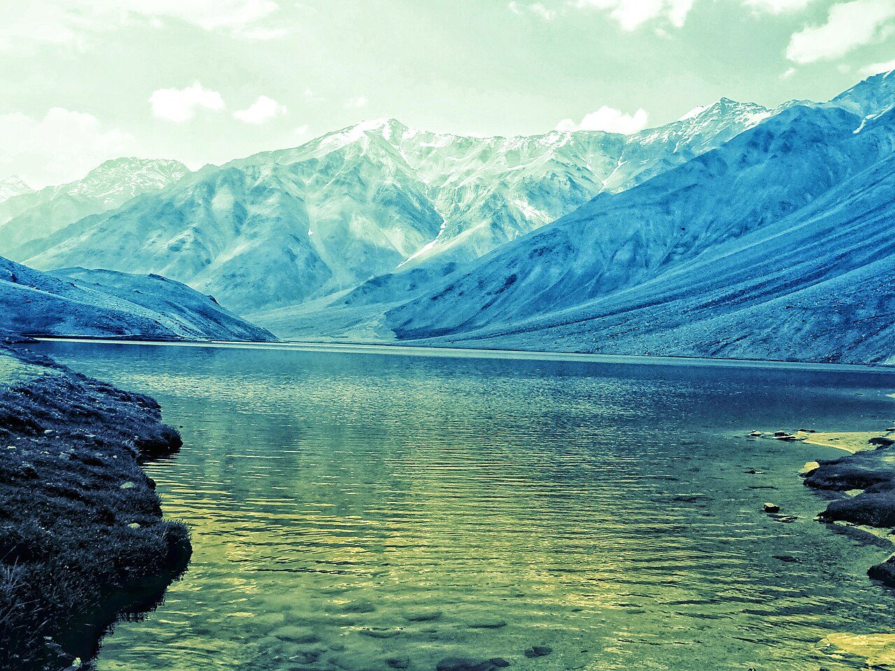
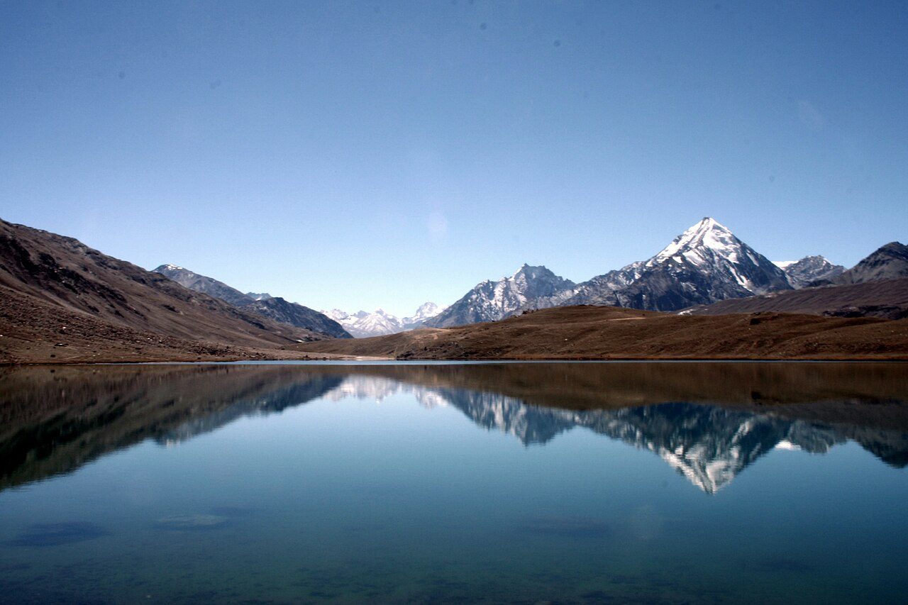
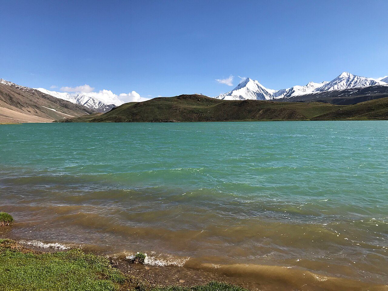
Chandratal, the 'moon lake', lies at about 4,300 metres in Spiti near the Kunzum Pass and takes its name from its crescent shape. Its water shifts from blue to green through the day against bare mountains. Camps are set up a short distance away, as camping on the shore is not allowed. The rough approach road from Batal is open only from about June to early October.
17
STOP 17 OF 18
Sissu Waterfall
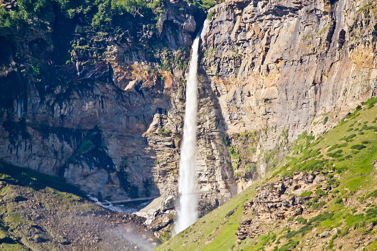
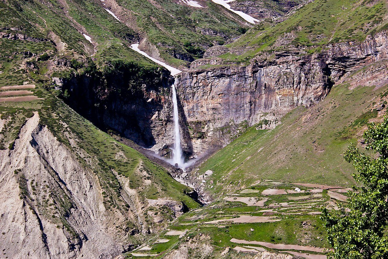
Sissu Waterfall drops down a cliff across the Chandra River from the village of Sissu, the first settlement in Lahaul beyond the north portal of the Atal Tunnel. It can be viewed from the highway and the village, or reached by a short walk across the river. A small lake, willow groves and a helipad lie nearby. The area is open for most of the year since the tunnel opened.
18
STOP 18 OF 18 · LAST STOP
Atal Tunnel
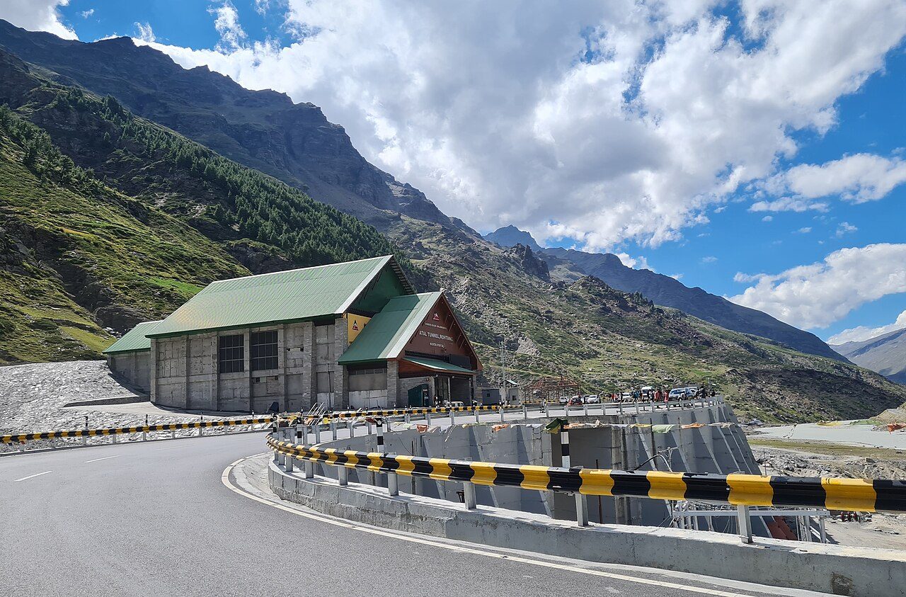
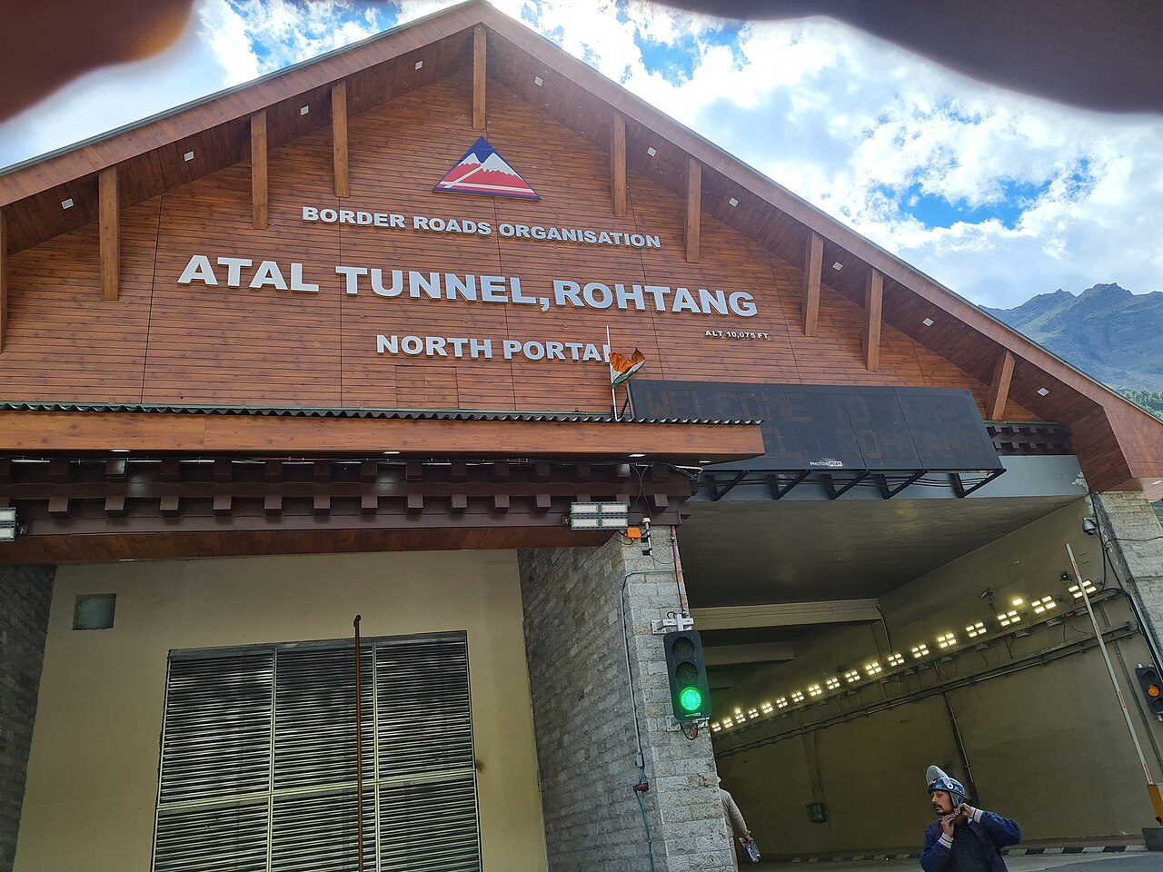
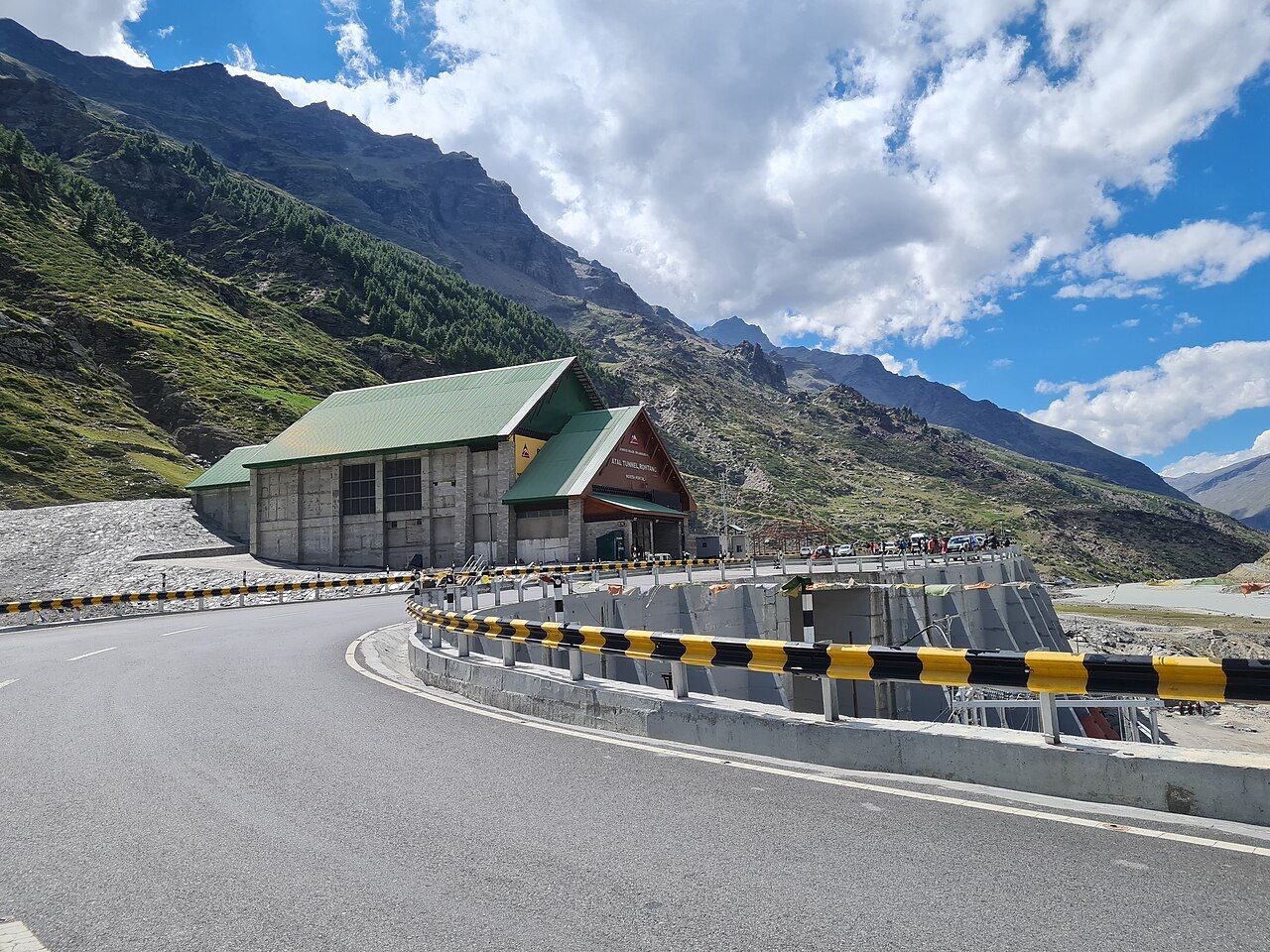
The Atal Tunnel runs for about nine kilometres beneath the Rohtang Pass and is the world's longest highway tunnel above 3,000 metres. Opened in 2020, it gives all-weather road access from Manali to Lahaul and cuts the journey by several hours. The south portal lies beyond Solang at Dhundi. Stopping inside is not allowed; viewpoints at both portals look onto the snow peaks.
Seasons from 20 years of NASA POWER climate data.
 WaTrips