India · Karnataka, Kerala & Tamil Nadu · Bengaluru
South India Grand Tour: Karnataka, Kerala and Tamil Nadu in 10 Days
10 DAYS24 placesby WaTrips
Ten days, three states: Bengaluru, Mysuru and Coorg, Wayanad and the Malabar coast, Kochi and Munnar, Madurai, Kodaikanal and Adiyogi.
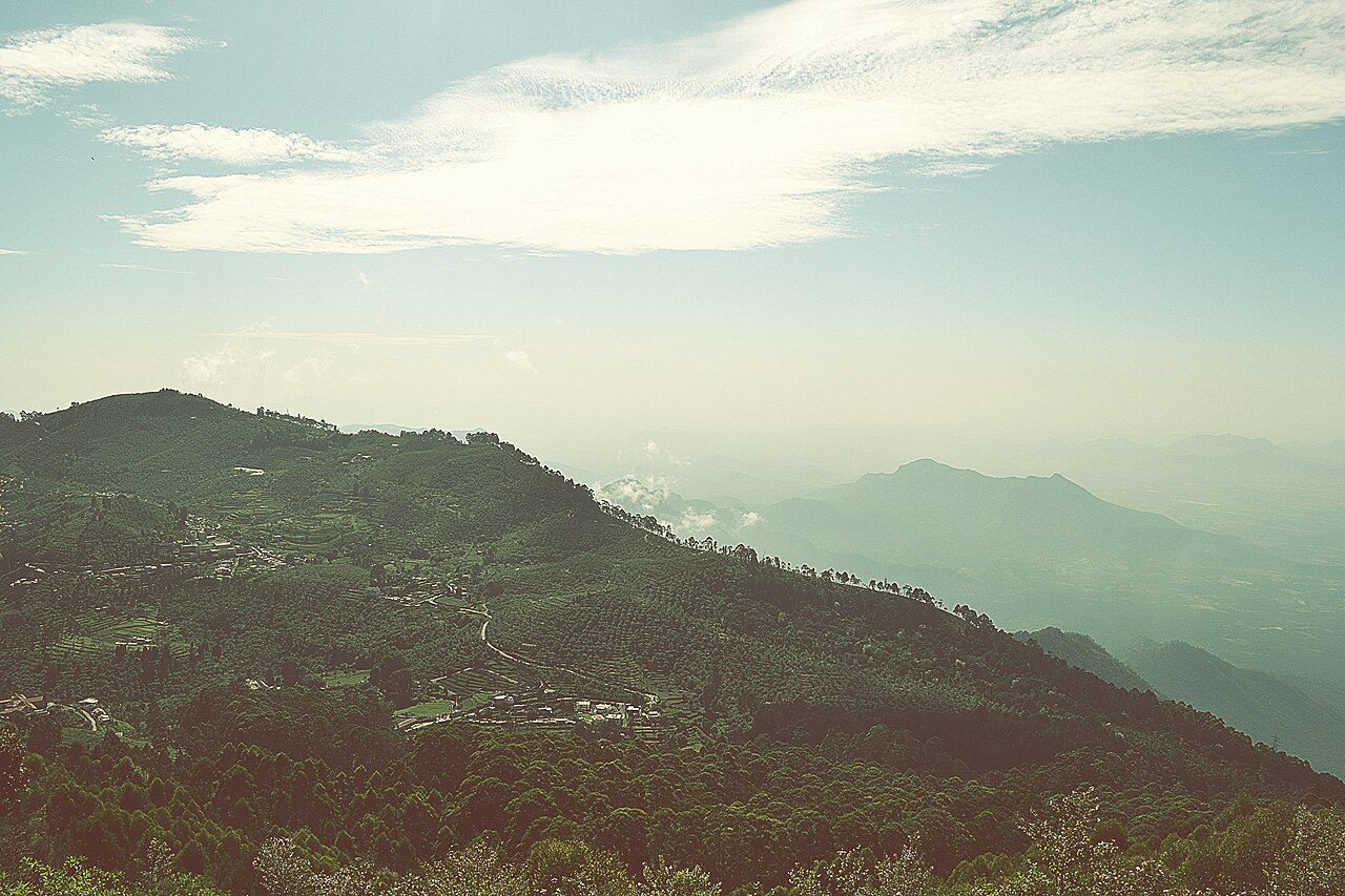
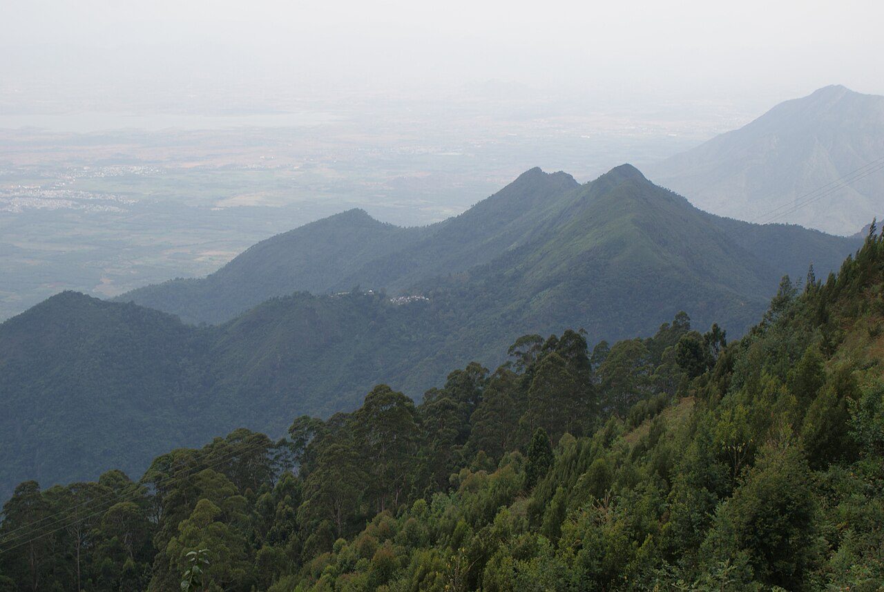
The best of South India in one loop. It starts in Bengaluru and Mysuru, with the palace and Chamundi Hills, then crosses the coffee hills of Coorg into Kerala's Wayanad for the Edakkal Caves and Pookode Lake. Come down to the sea at Kozhikode and follow the coast to Fort Kochi. From there the route climbs to Munnar's tea estates, then crosses the Western Ghats into Tamil Nadu for Madurai's Meenakshi Temple and the cool lakeside town of Kodaikanal. It ends at the Adiyogi statue near Coimbatore. Each day has a few highlights and plenty of road between them, and there are long hill sections, so keep the days easy and start early. October to March has the best weather across all three states.
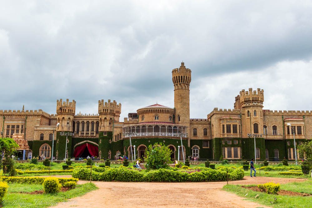
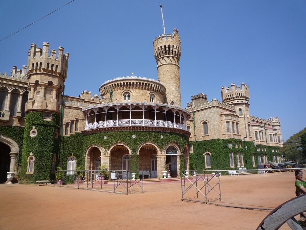
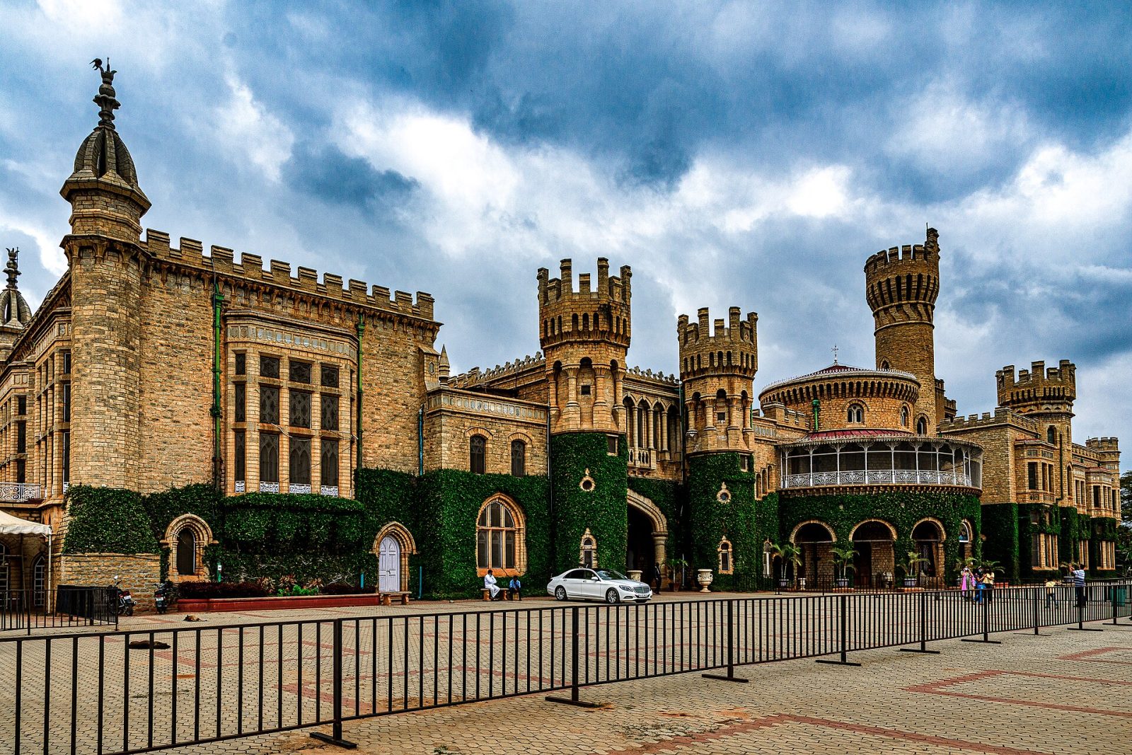
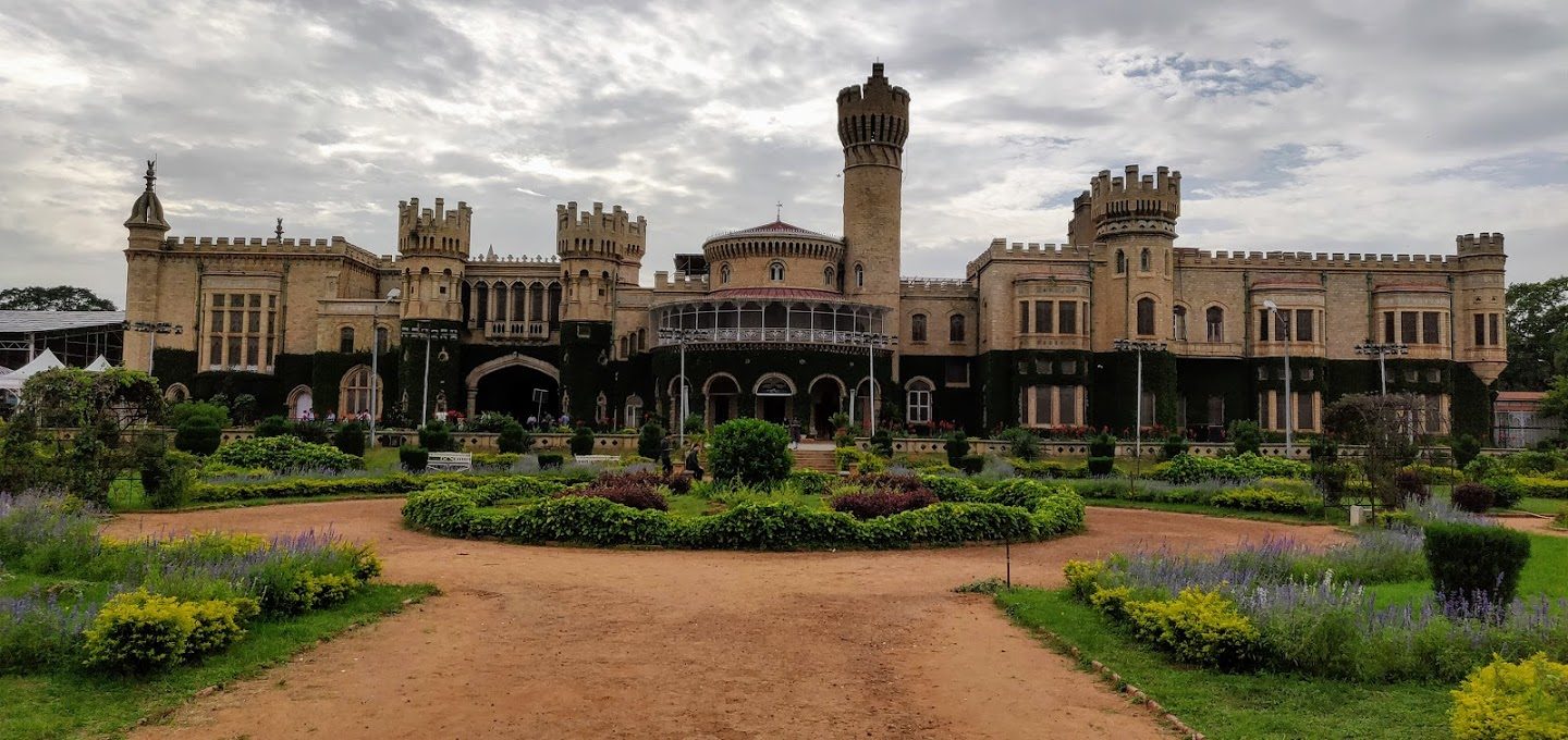
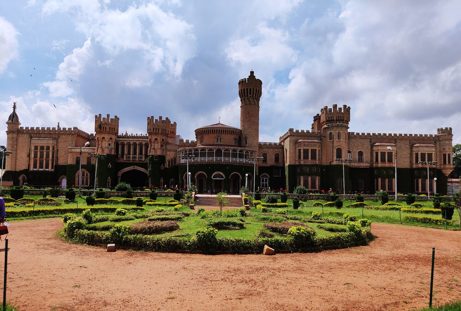
Bangalore Palace was built in 1878 for the Wadiyar rulers of Mysore, modelled loosely on Windsor Castle with battlements, turrets and fortified towers. Inside are Gothic windows, carved wooden ceilings, a ballroom and a large collection of paintings, furniture and photographs from the royal household. The grounds once covered hundreds of acres and now host concerts and exhibitions through the year. An audio guide takes visitors through the main halls, and the durbar hall with its yellow glass windows is the highlight. It is open daily and photography carries an extra fee.
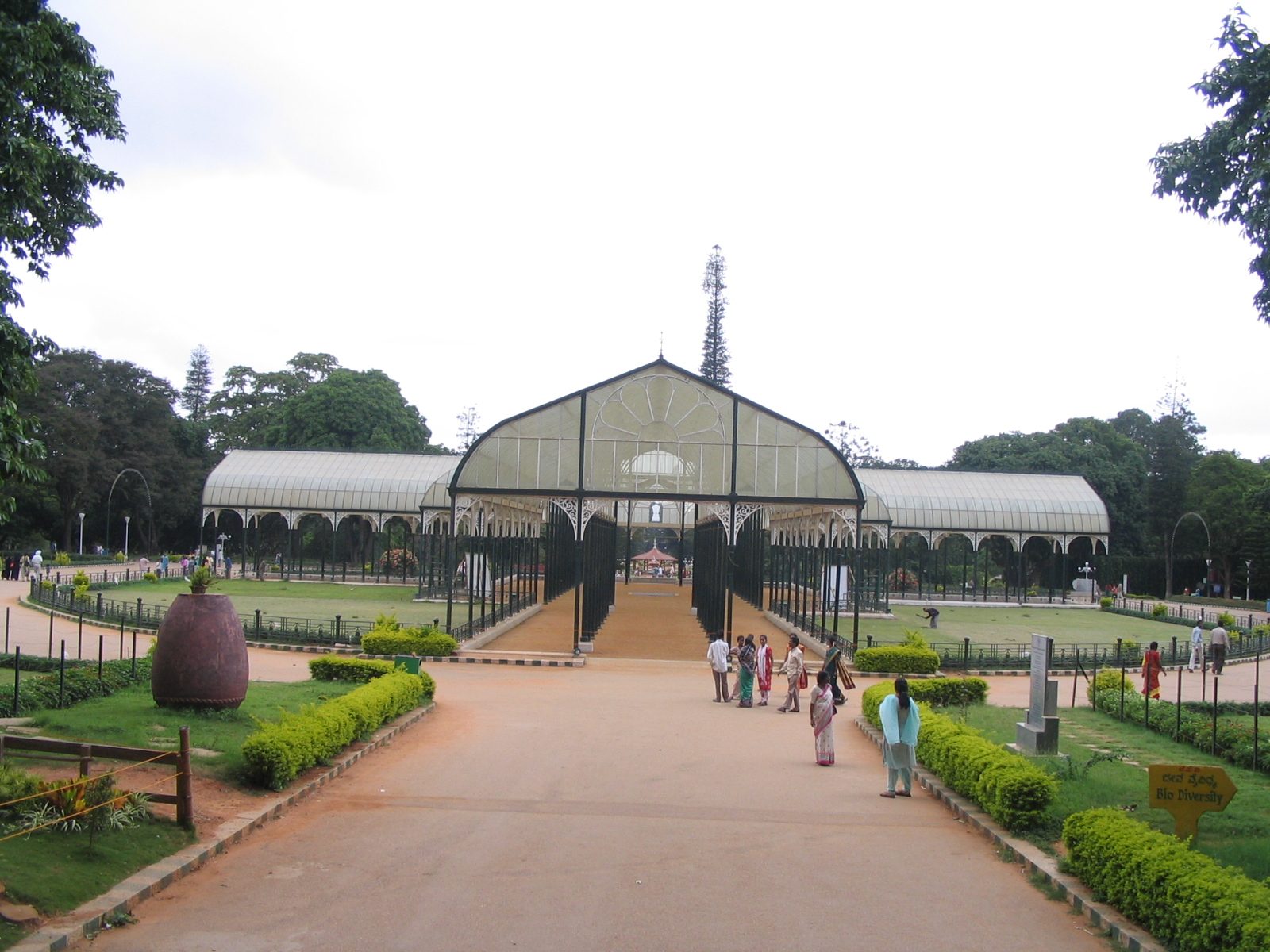
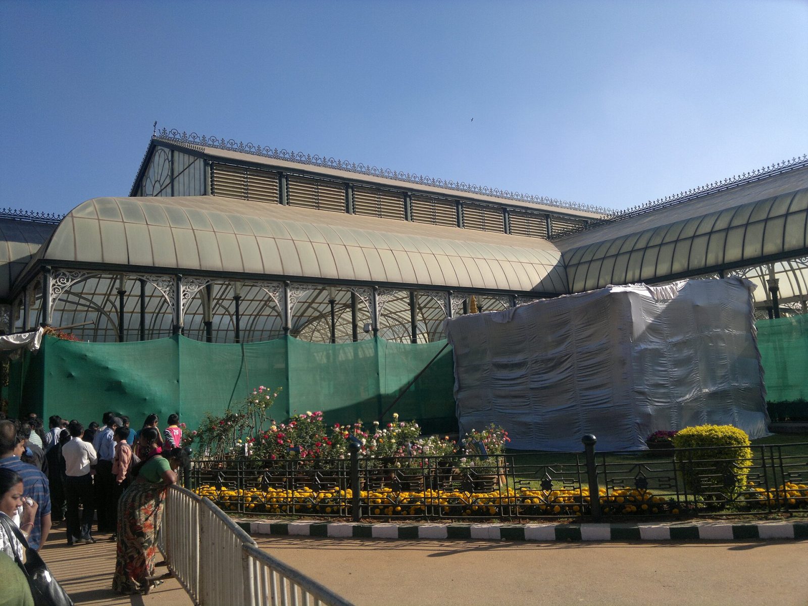
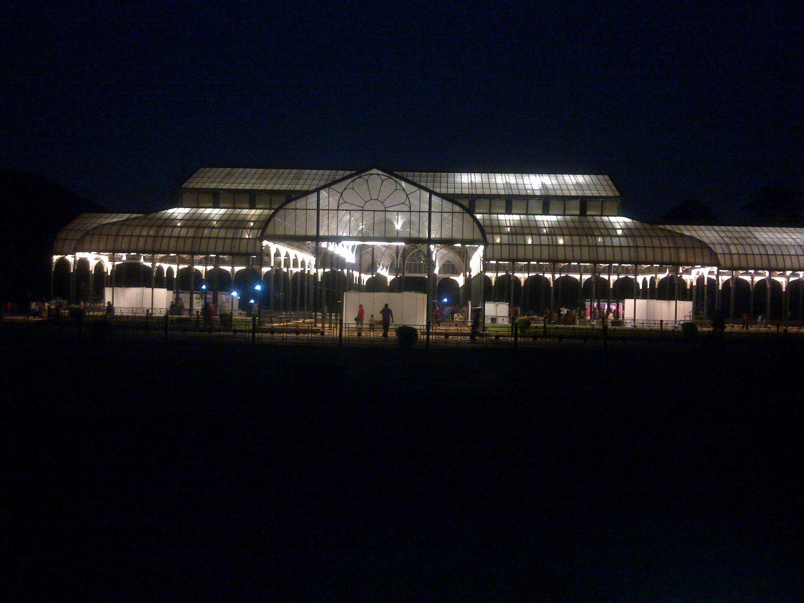
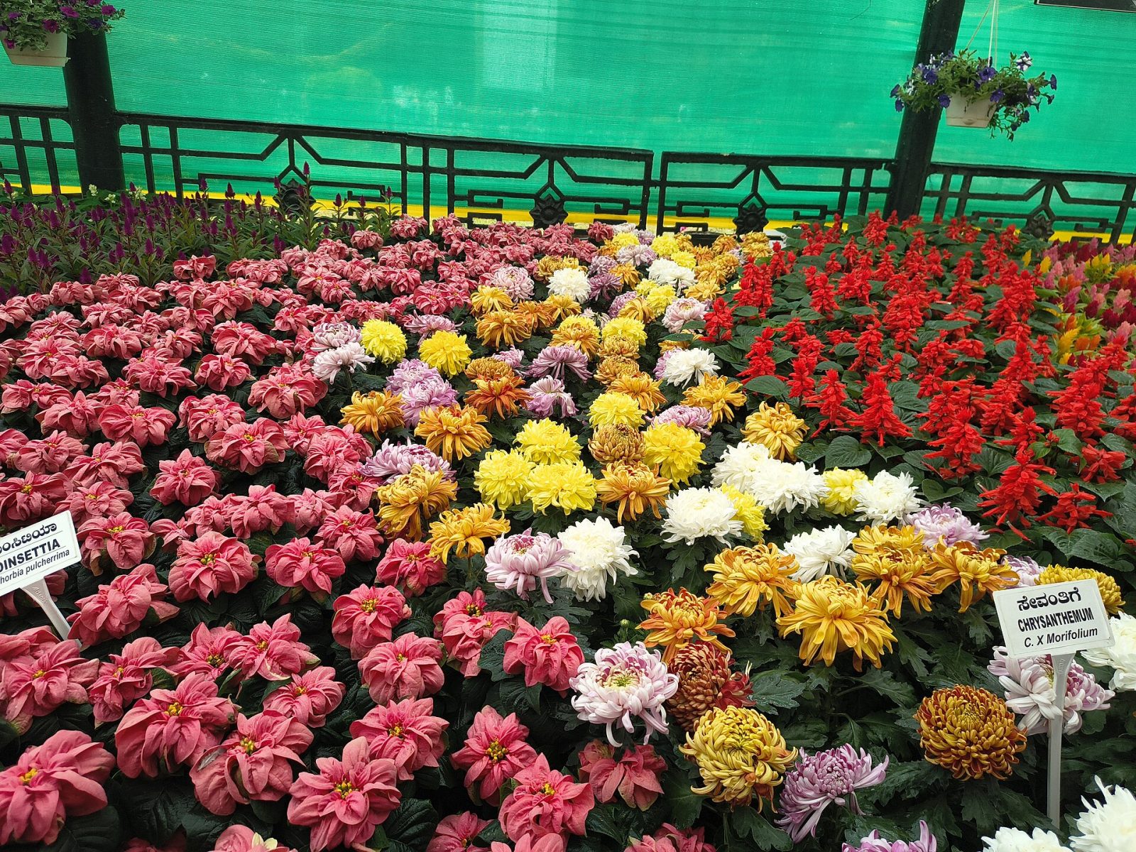
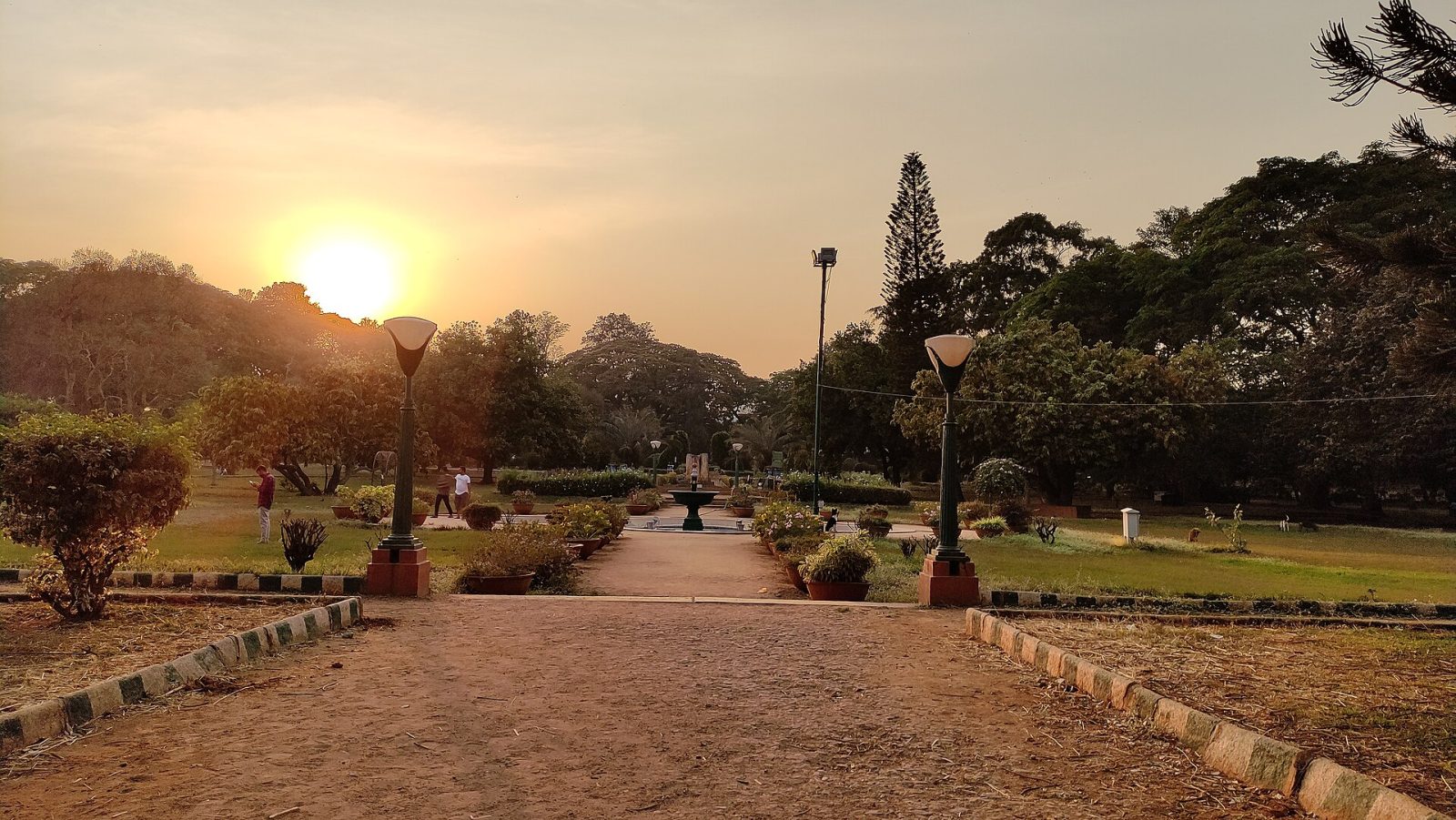
Lalbagh was begun by Hyder Ali in the 1760s and completed by his son Tipu Sultan, who sent for plants from Persia, Afghanistan and beyond to fill it. Today it covers about 240 acres in the heart of Bengaluru with more than a thousand species of trees, a lake and one of the oldest rock formations on earth, the Peninsular Gneiss, over three billion years old. Its centrepiece is the Glass House, modelled on London's Crystal Palace, where flower shows are held every Republic Day and Independence Day. Morning walkers, birdwatchers and joggers fill the paths at dawn. Entry is inexpensive and free early in the morning.
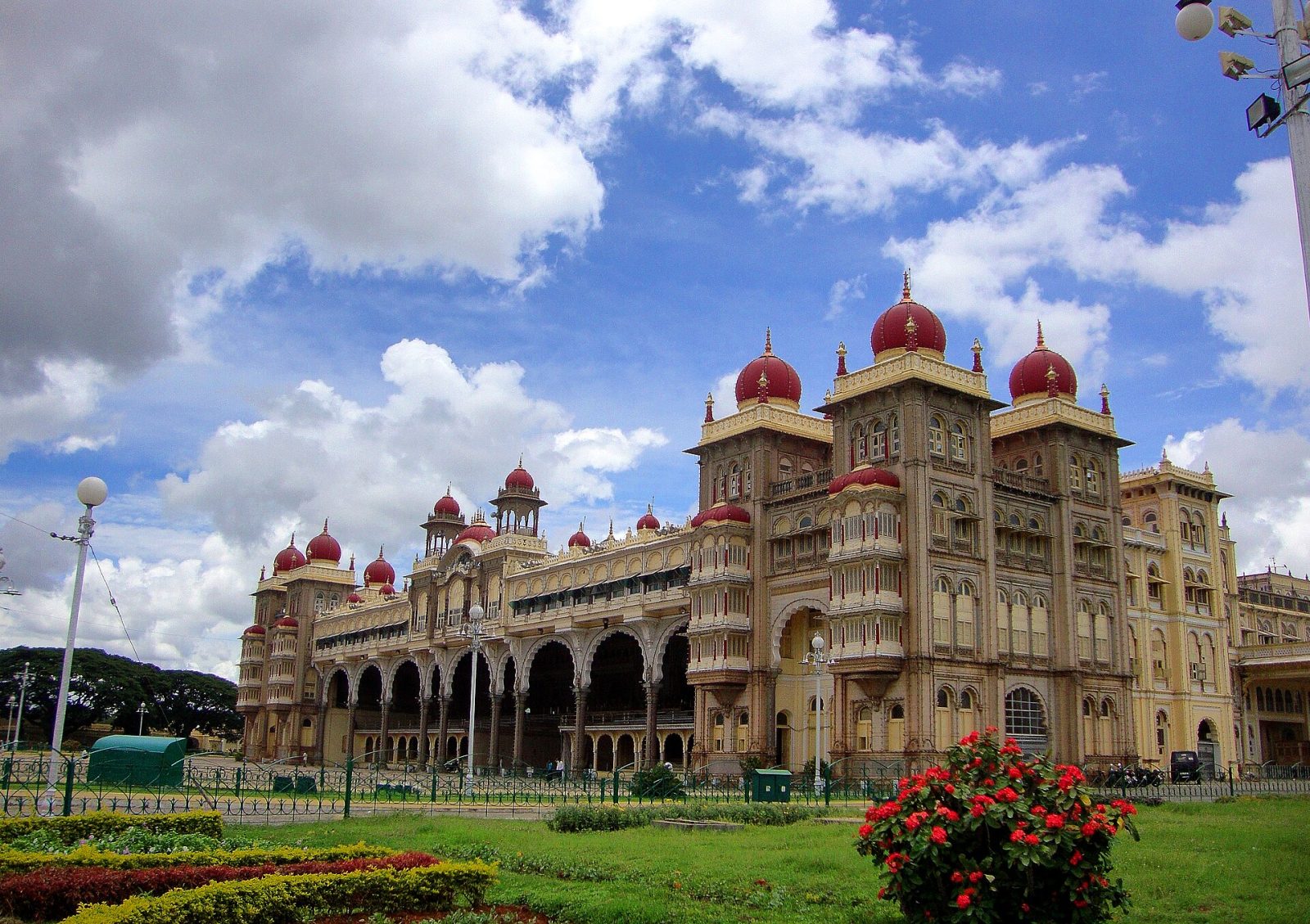
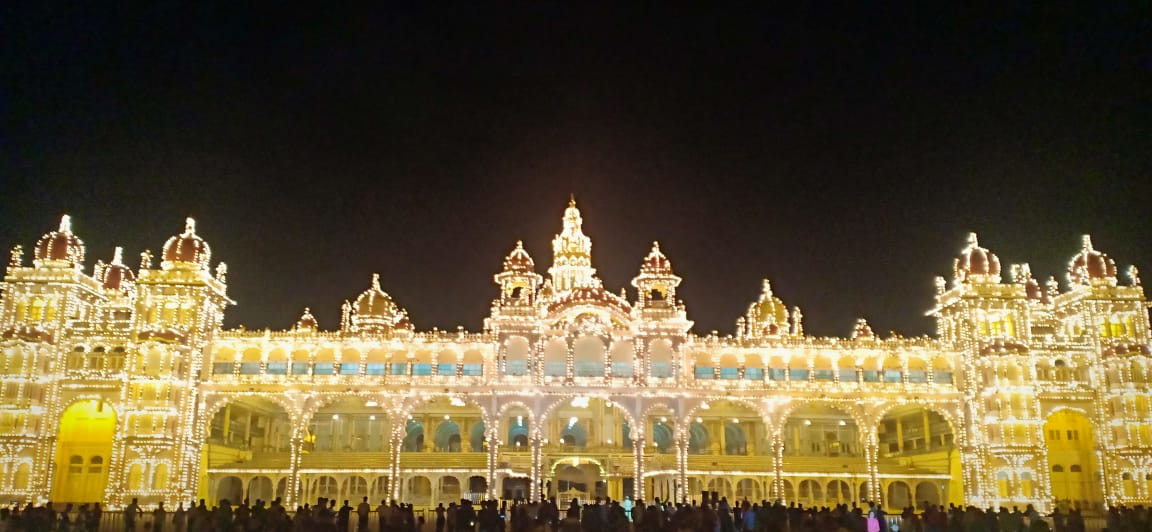
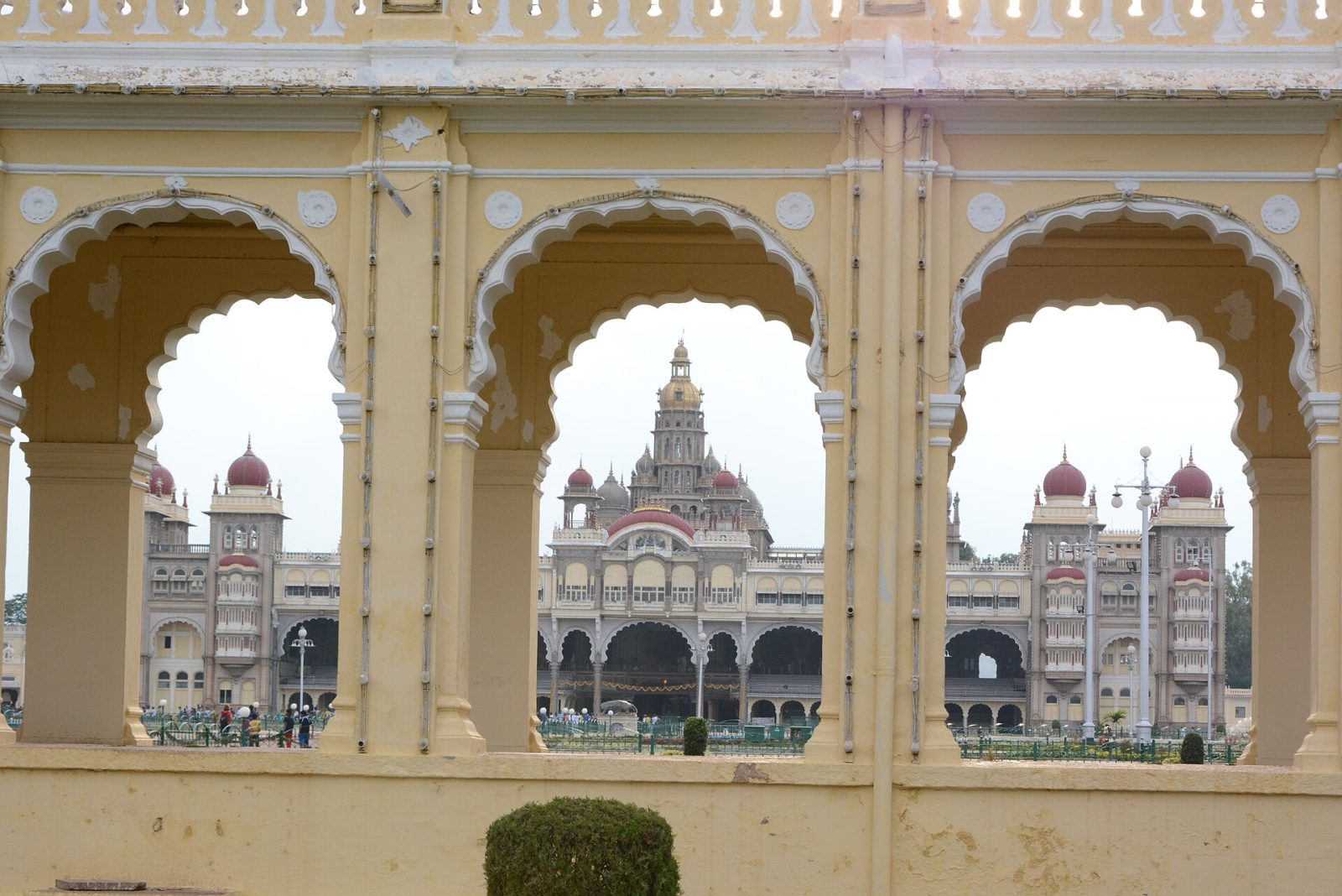
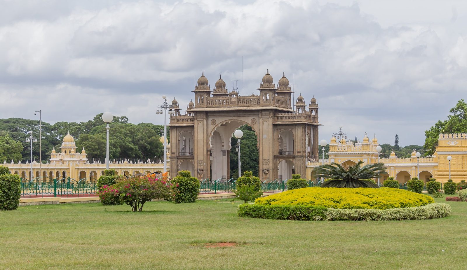
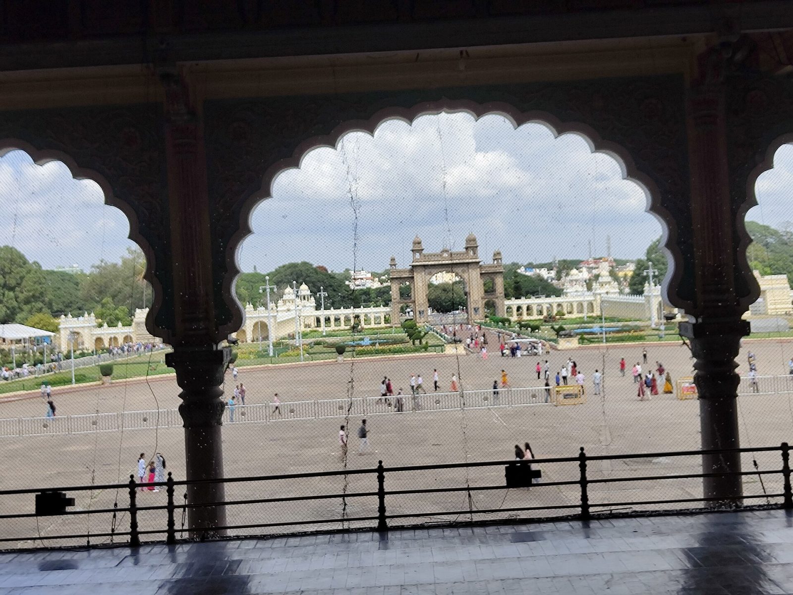
Amba Vilas, the Mysore Palace, is the seat of the Wadiyar dynasty and one of the most visited monuments in India. The present building was designed by the British architect Henry Irwin and completed in 1912 after fire destroyed the earlier wooden palace, mixing Hindu, Islamic, Rajput and Gothic elements in grey granite with pink marble domes. Inside are the Durbar Hall, the Kalyana Mantapa with its stained-glass peacock dome, carved doors of rosewood and ivory, and galleries of royal portraits. On Sundays and during the ten days of Dasara the whole palace is outlined with nearly a hundred thousand bulbs. Shoes come off at the entrance, and the Dasara procession in September or October is the biggest event of the year.
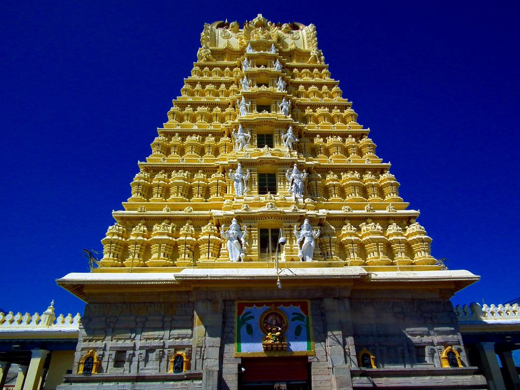
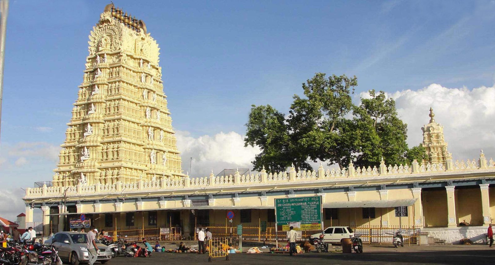
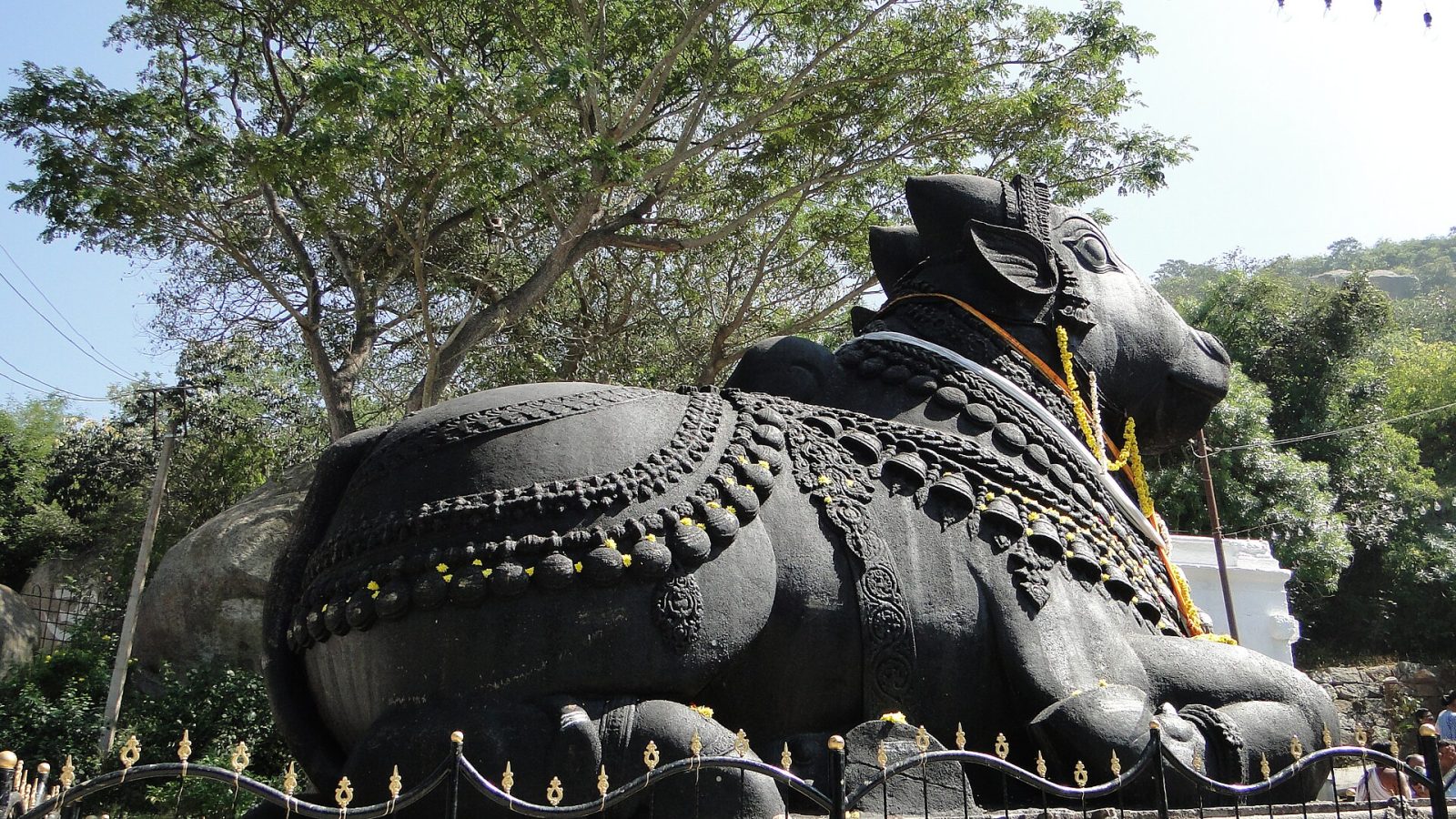
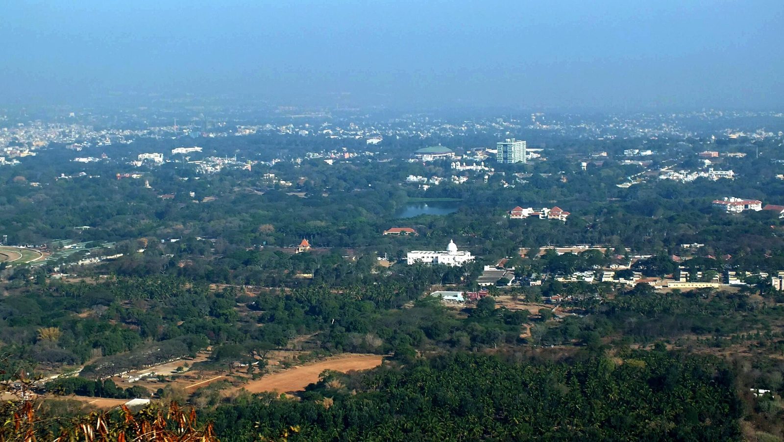
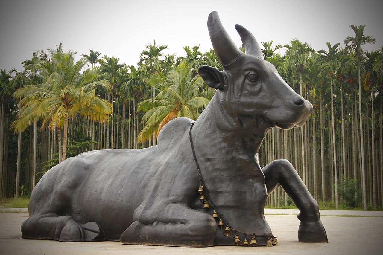
Chamundi Hill rises about 1,000 metres above Mysuru, topped by the Chamundeshwari temple dedicated to the goddess who, in legend, killed the demon Mahishasura and gave the city its name. The present temple has a seven-storey gopuram built in the 17th and 18th centuries by the Wadiyars, who treated the goddess as their family deity. A flight of about a thousand steps climbs from the base, passing the huge Nandi bull carved from a single black granite boulder in 1659. From the top the whole city, the palace and the lakes spread out below. A road also runs to the summit, and the temple is busiest during Navaratri.
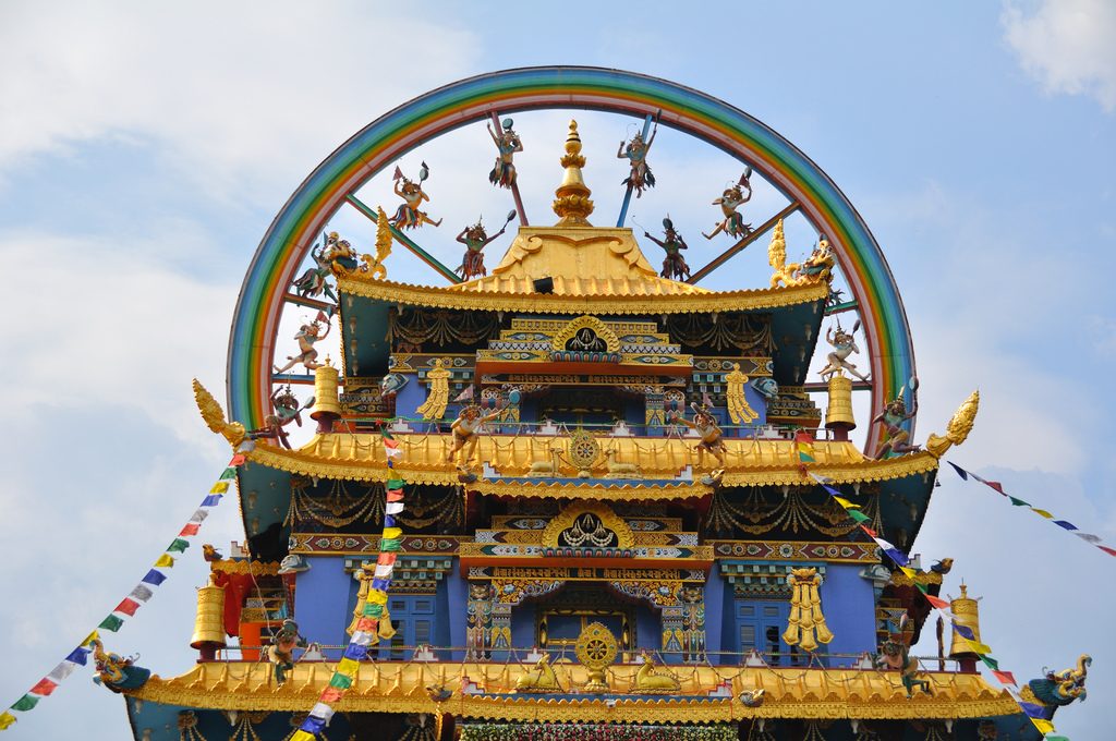
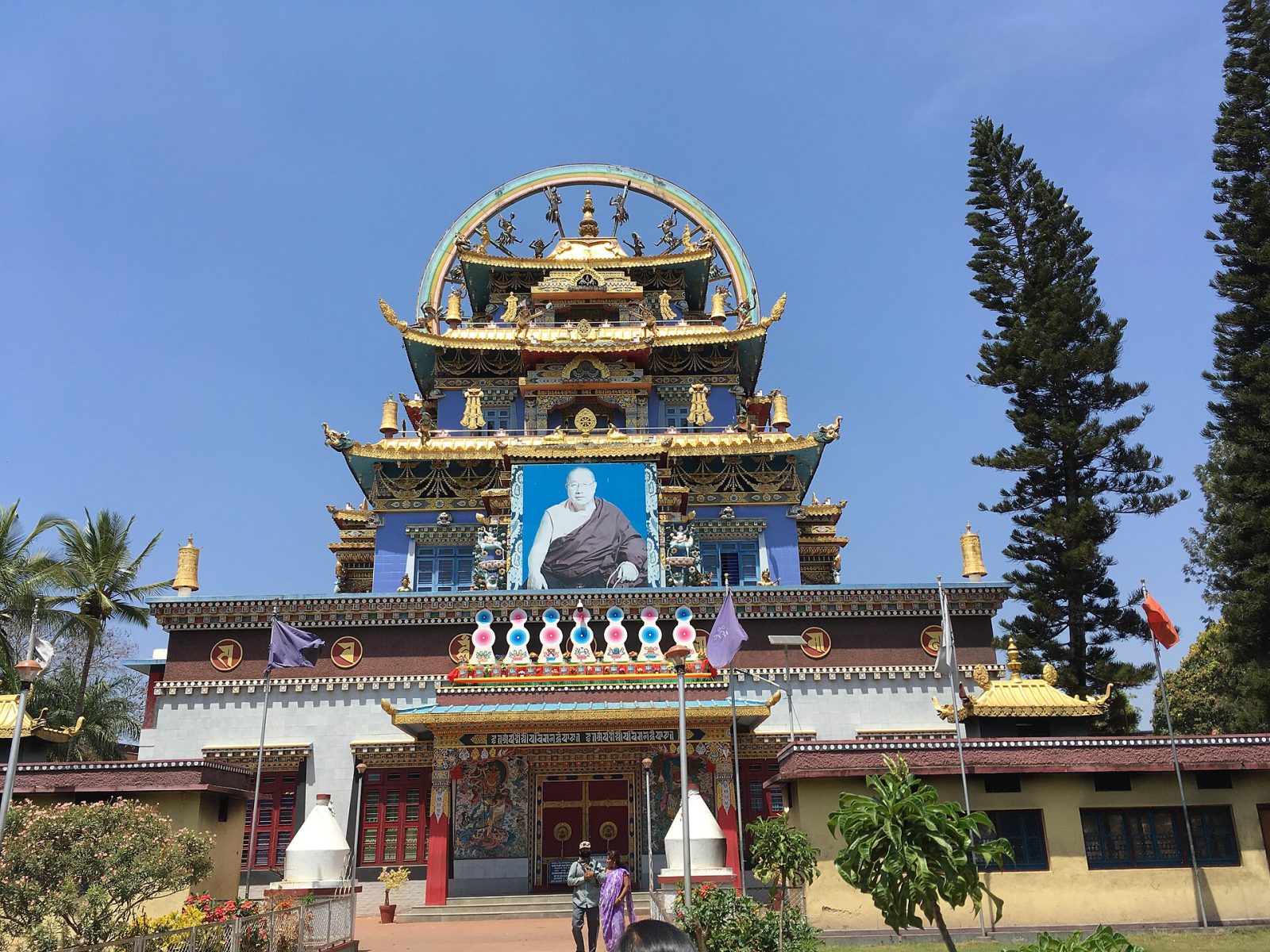
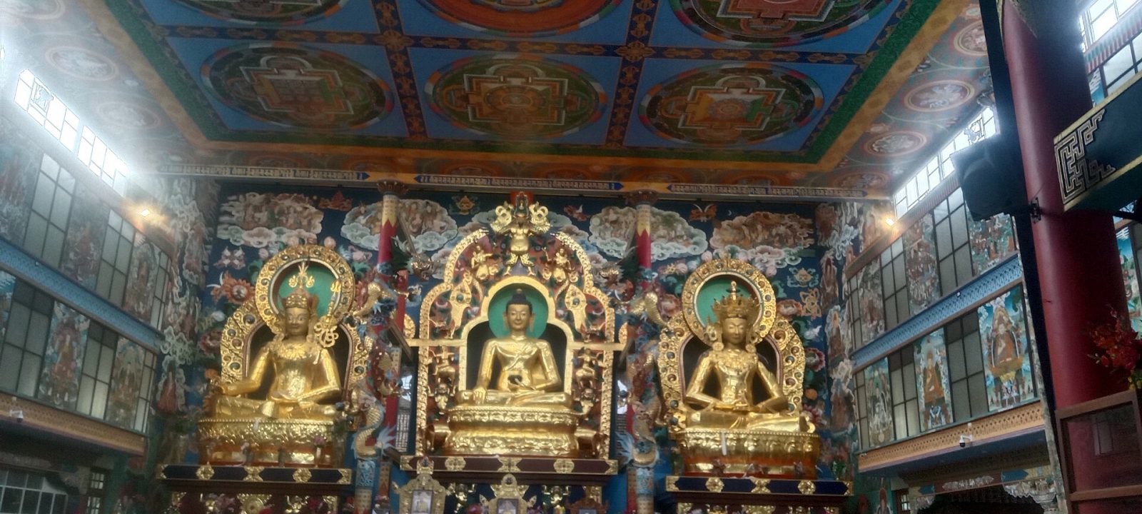
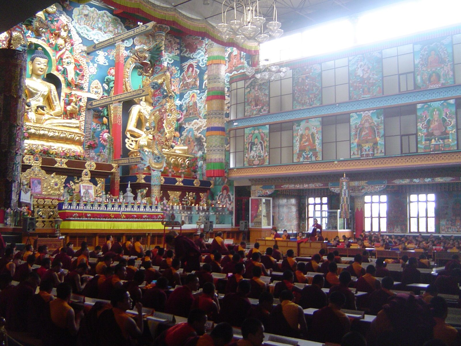
Namdroling at Bylakuppe, near Kushalnagar in Kodagu, is the largest teaching centre of the Nyingma school of Tibetan Buddhism outside Tibet. It was founded in 1963 by Penor Rinpoche on land given to Tibetan refugees by the Indian government, starting as a bamboo temple and growing into a complex housing thousands of monks and nuns. The main hall, known as the Golden Temple, holds three gilded statues about 18 metres high of Buddha, Padmasambhava and Amitayus, with walls painted in bright Tibetan murals. Prayer sessions with horns and drums are open to visitors. It is about 6 km from Kushalnagar and the settlement around it sells Tibetan food and handicrafts.
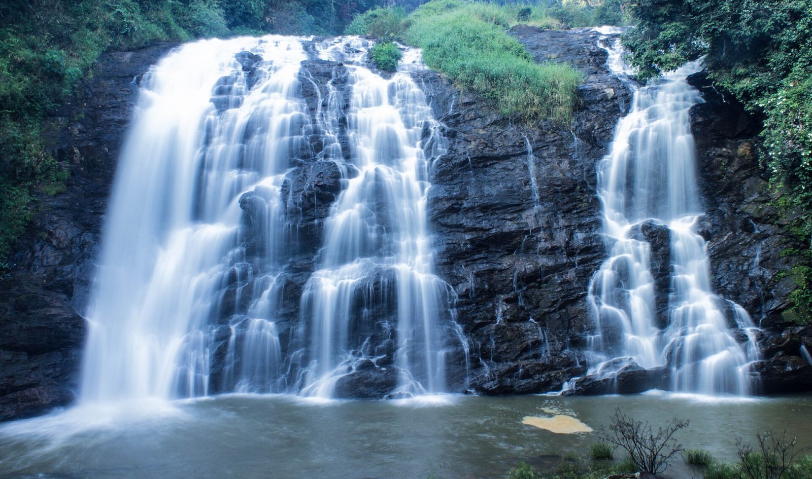
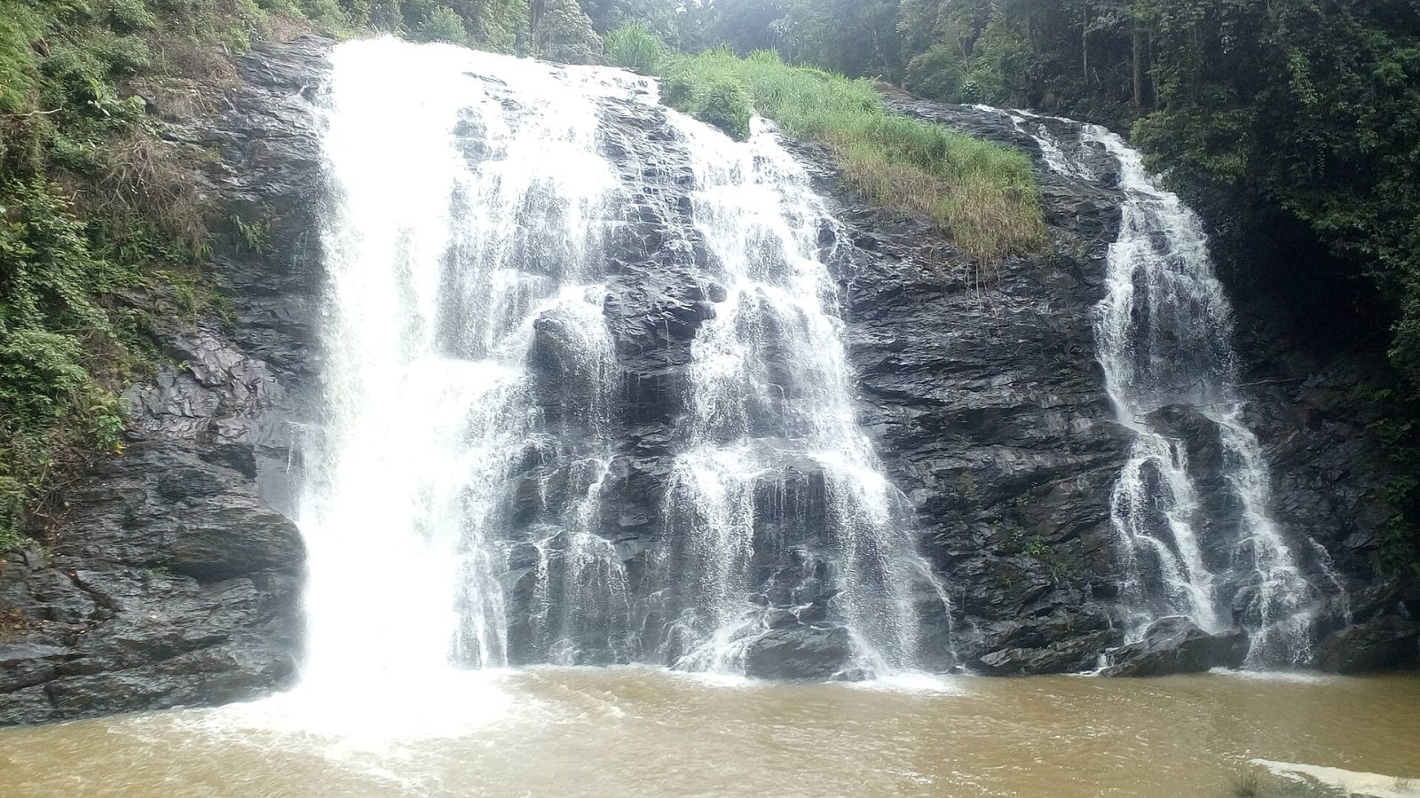
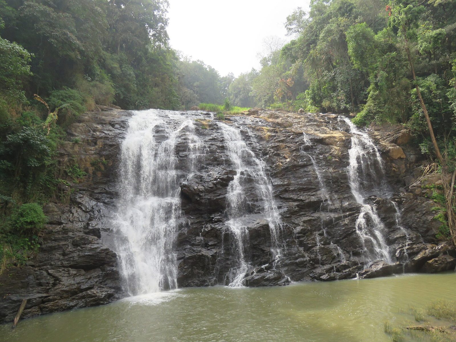
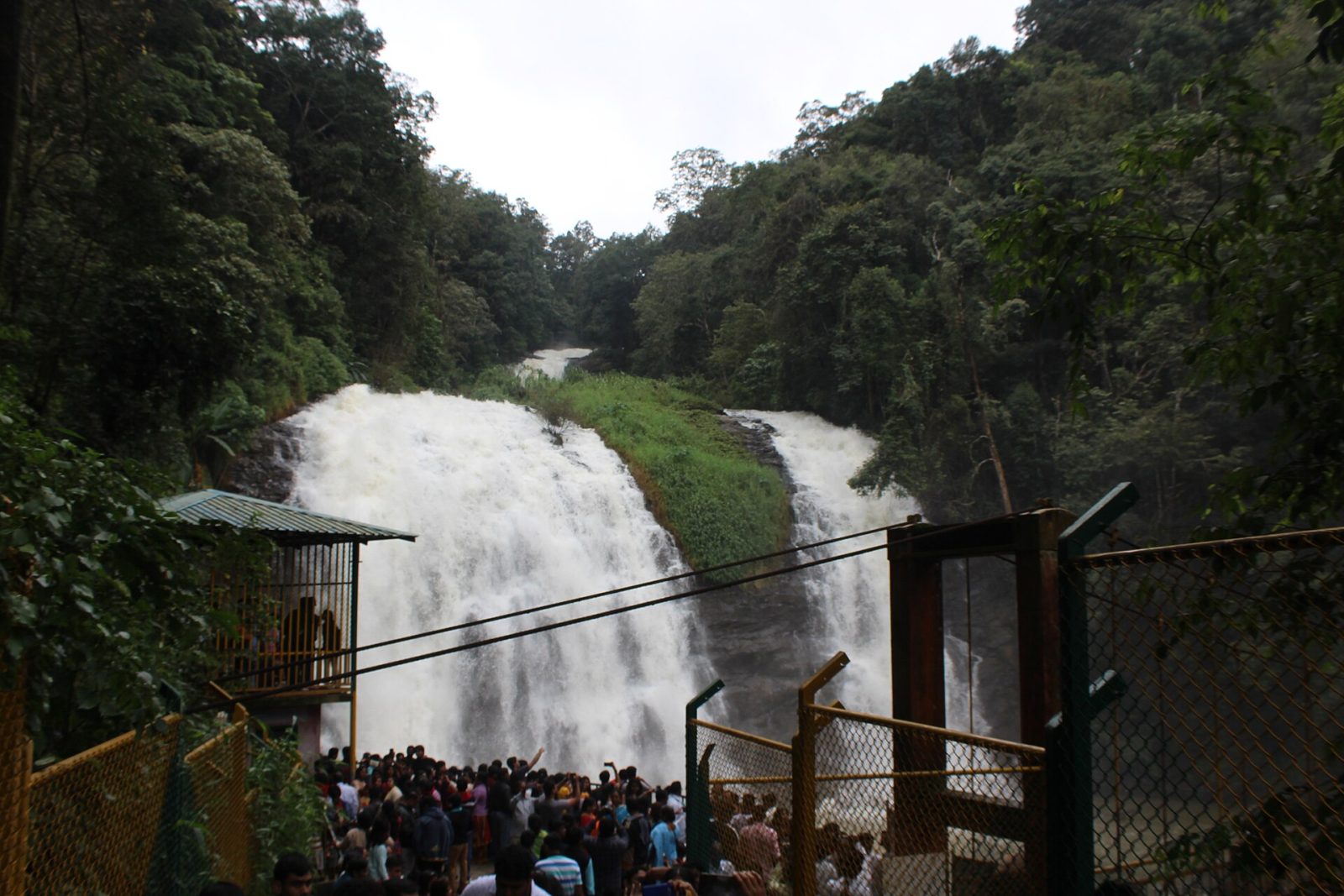
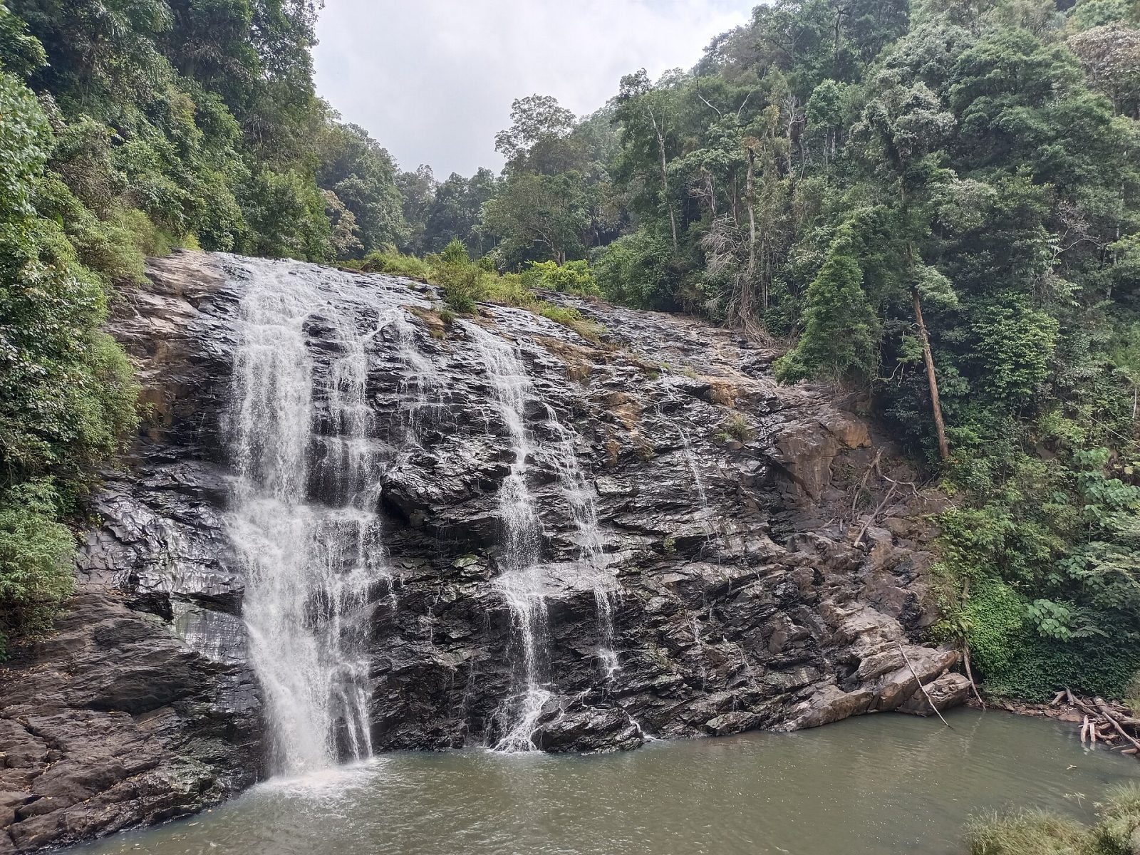
Abbey Falls lies about 8 km from Madikeri in Kodagu, where a stream drops some 20 metres into a rocky pool surrounded by coffee estates, cardamom and pepper vines. A path from the road leads down through private plantation land to a hanging bridge built directly opposite the falls, the best viewpoint. The setting, with spice creepers twisting up the trees, is as much the attraction as the water. The falls are strongest between July and October, when the Kodagu monsoon is at its heaviest. Swimming is not allowed, and the steps can be slippery in the rain.
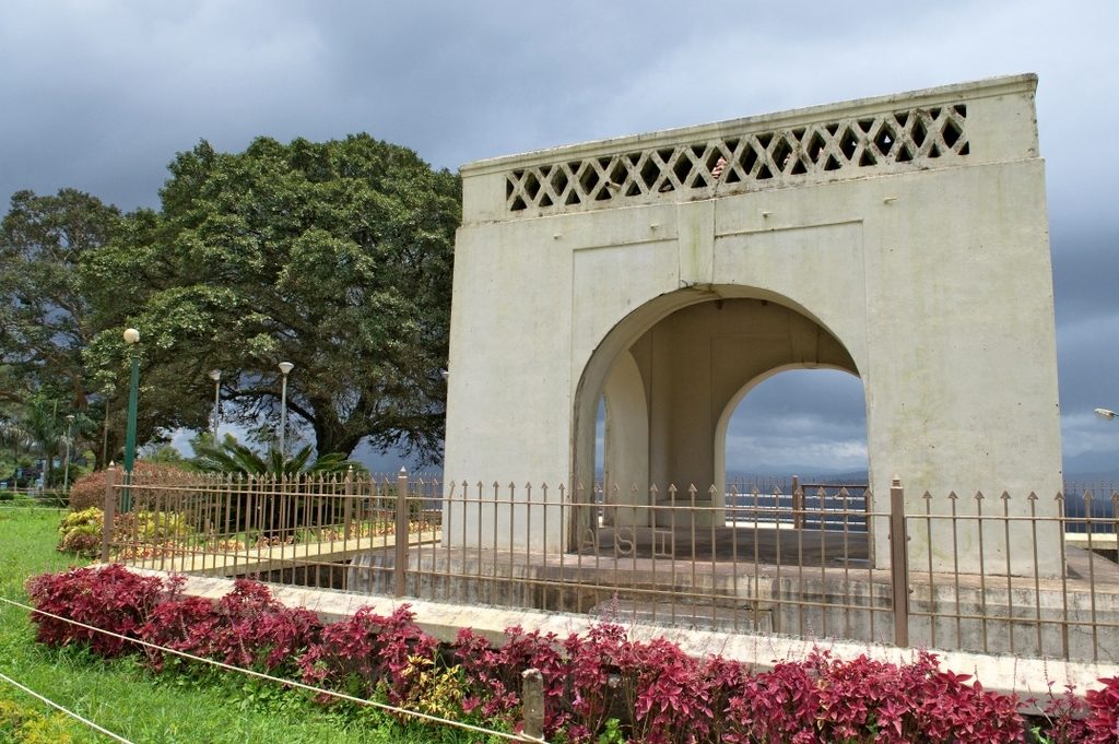
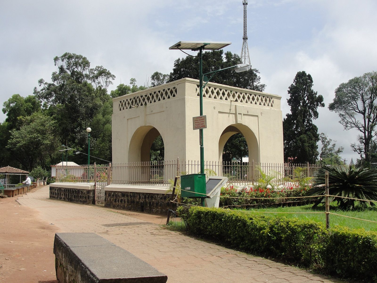
Raja's Seat is a small garden on the western edge of Madikeri where the Kodagu kings are said to have come in the evenings to watch the sun set over the hills. A brick and mortar pavilion with four pillars stands at the edge of the ridge, looking out across layers of misty valleys and terraced fields. Flower beds, a musical fountain and a toy train make it a family spot, and it is the most popular sunset point in Coorg. The mist rolls in quickly here, so views change by the minute. Come an hour before sunset to get a place at the railing.
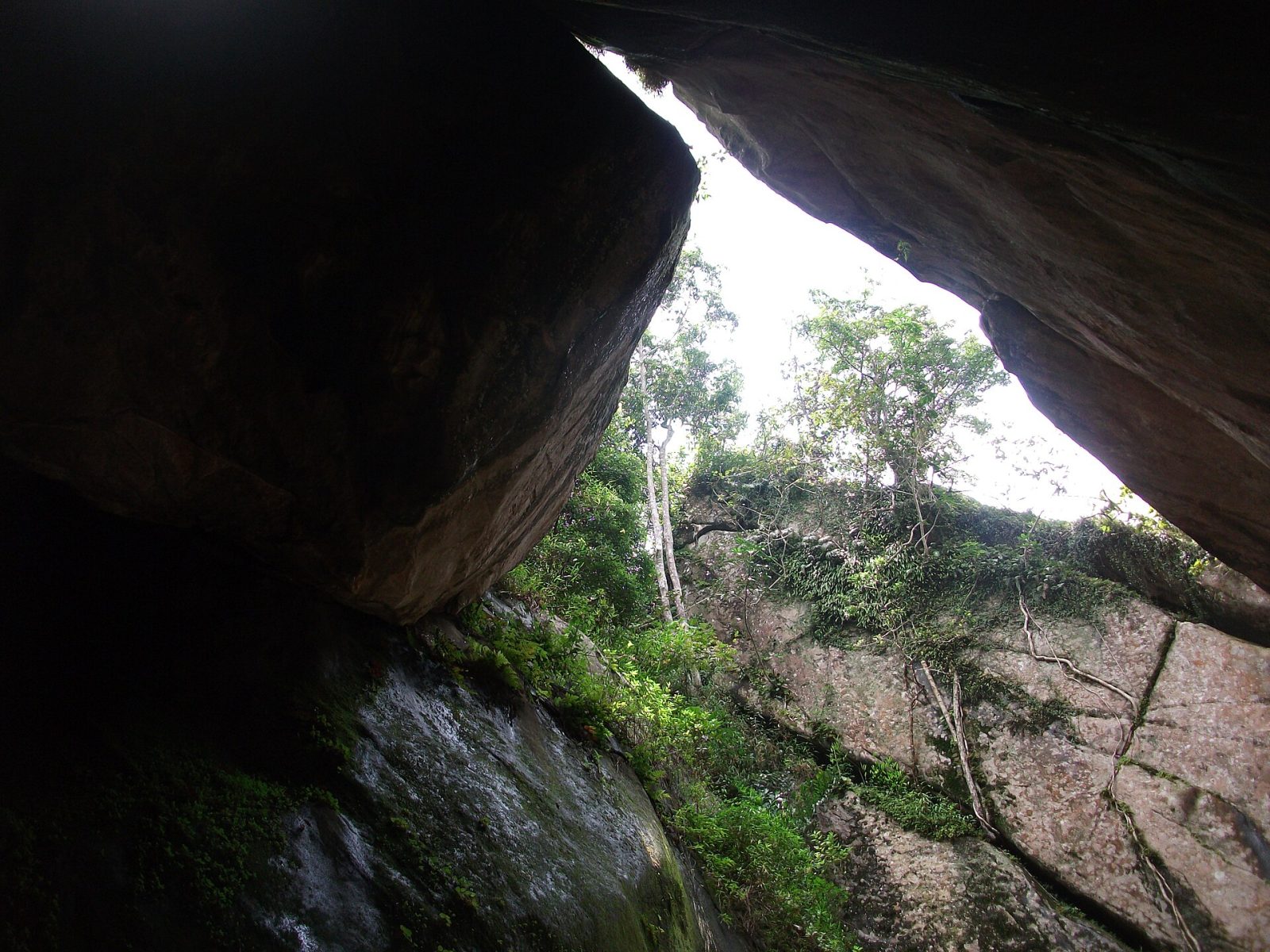
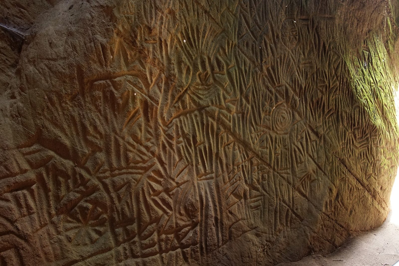
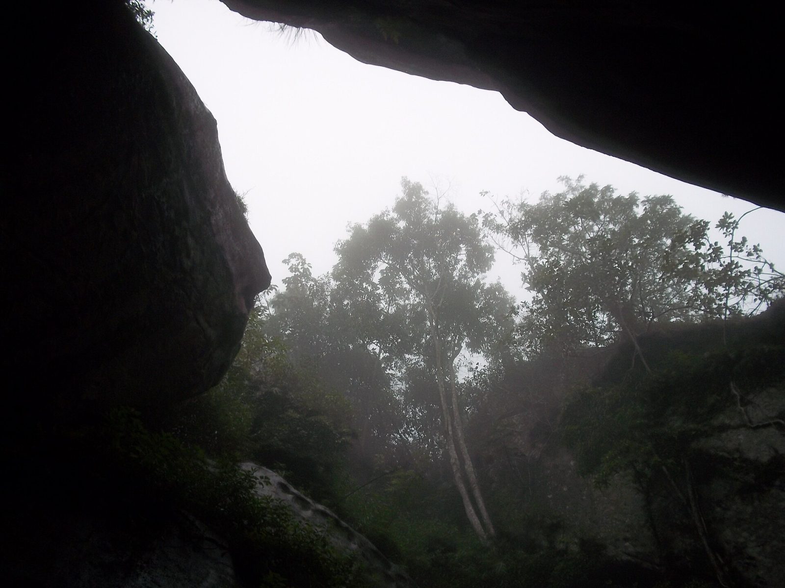
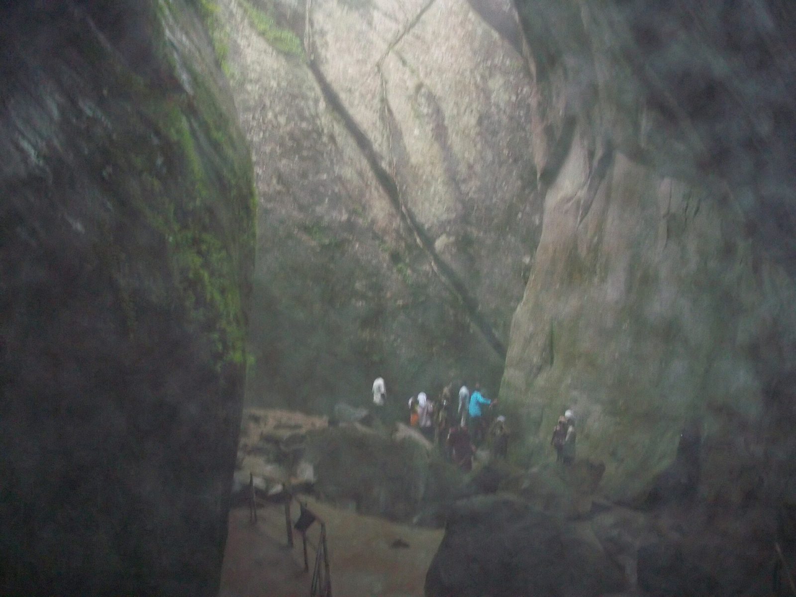
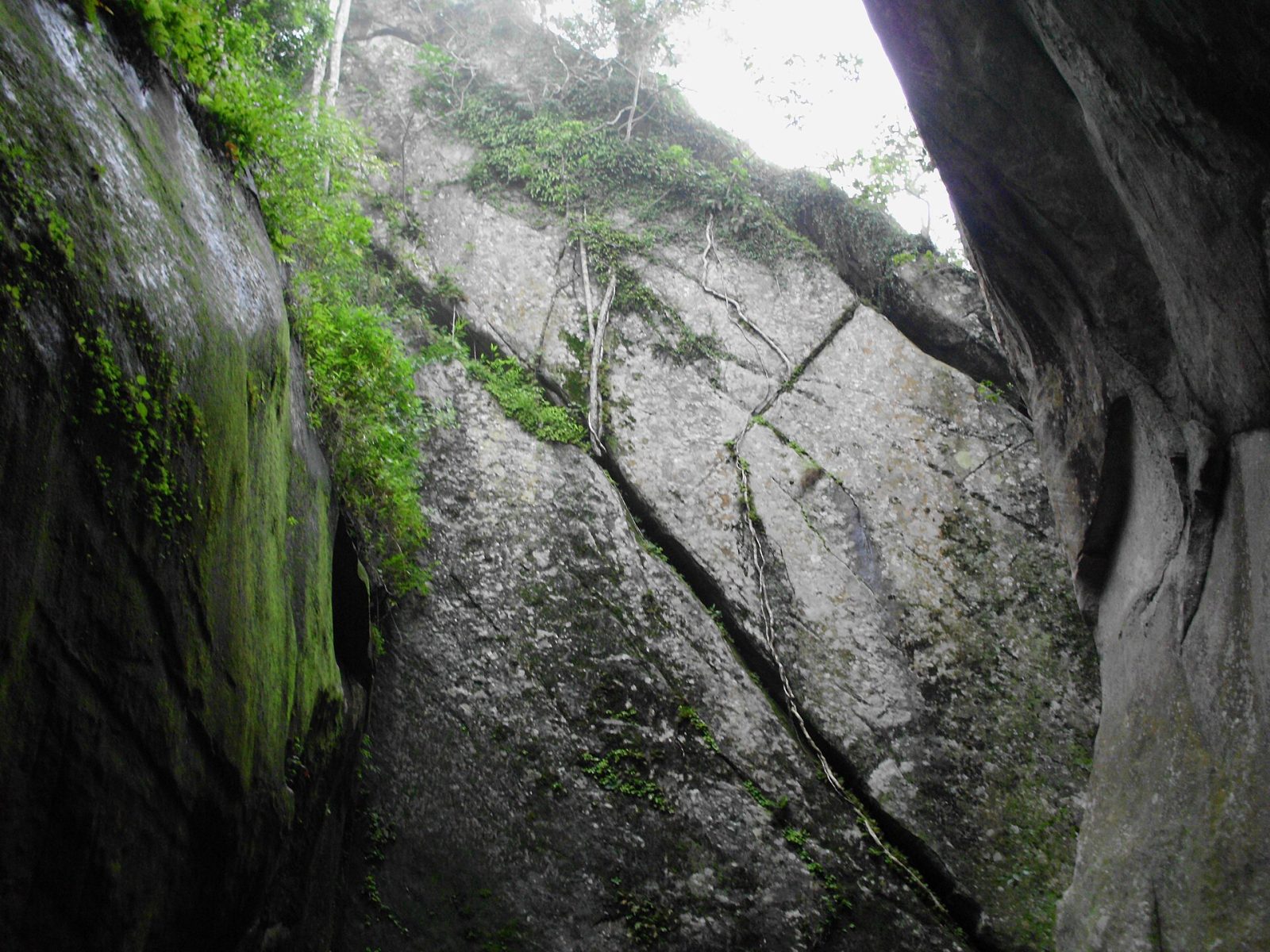
The Edakkal caves at Ambalavayal in Wayanad are not true caves but a cleft formed when a huge boulder fell across a split in the rock on Ambukuthi hill. The walls carry petroglyphs, carved figures of people, animals, wheels and symbols, some believed to be several thousand years old, making this one of the most important prehistoric sites in south India. They were brought to wider notice in 1890 by Fred Fawcett, a British police official, who recognised their age. The climb takes about half an hour up a steep path and steps, and the view over the Wayanad hills from the top is worth it on its own. The site closes on Mondays and gets crowded by late morning.
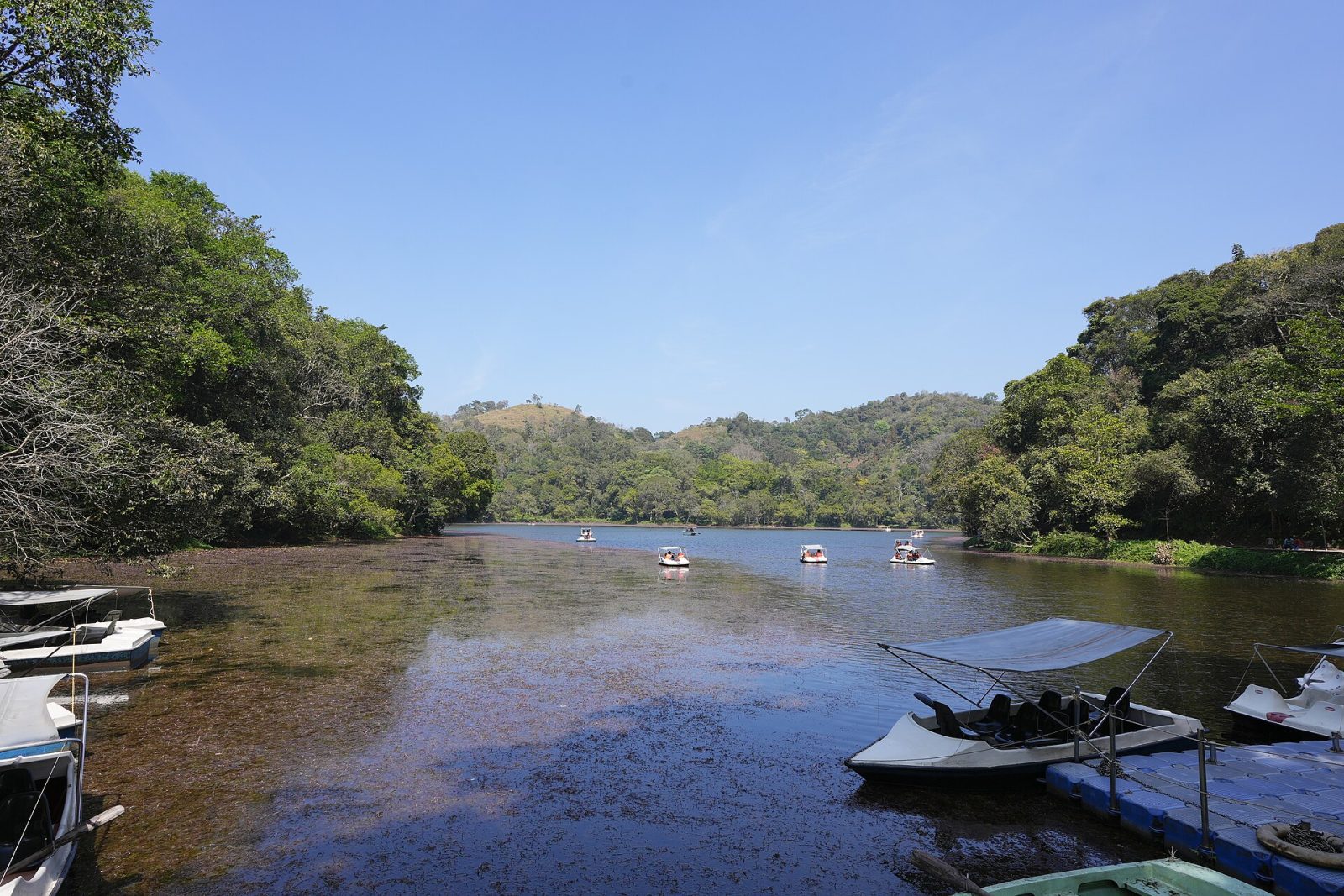
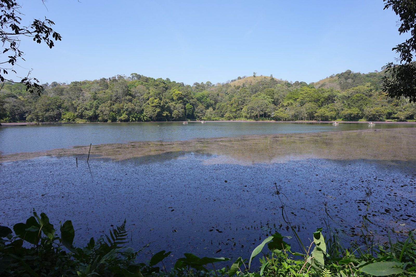
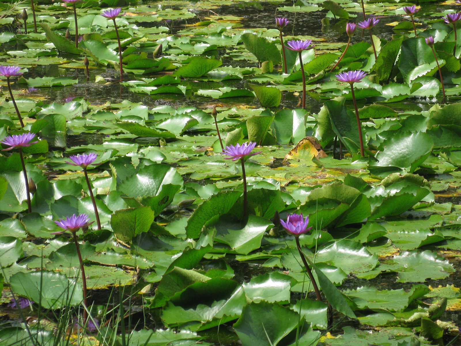
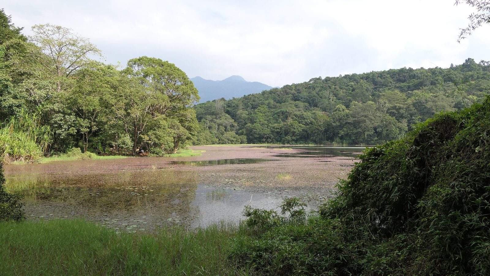
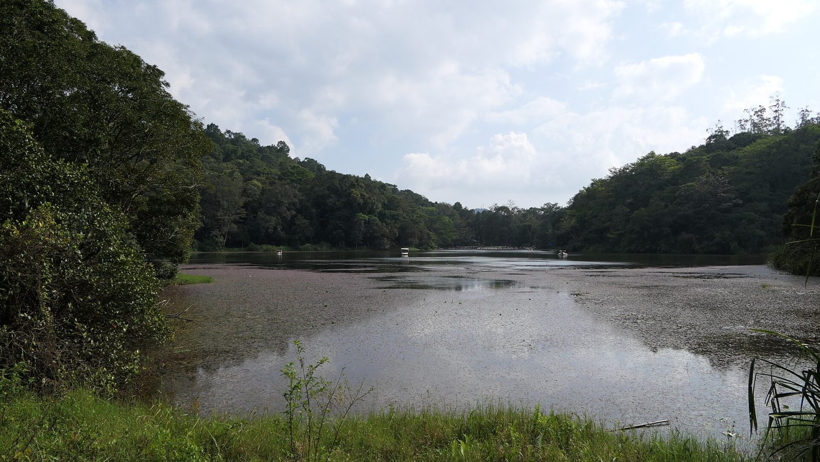
Pookode is a small natural freshwater lake set in evergreen forest near Vythiri in Wayanad, shaped a little like the map of India. It sits about 2,100 metres above sea level and is fed by springs, making it one of the highest lakes in Kerala. A paved path runs right around the water under thick trees, and pedal boats take visitors onto the lake, which is covered in blue water lilies in season. A small freshwater aquarium, a children's park and handicraft stalls sit at the entrance. It is an easy stop on the road between Kozhikode and Kalpetta and works well with Lakkidi viewpoint nearby.
Best weather: Dec – AprHeavy rain: Jun – Aug
10
STOP 10 OF 24
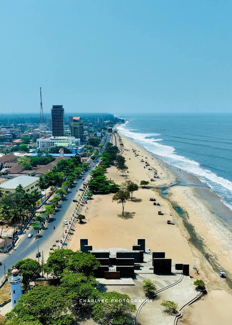
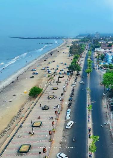
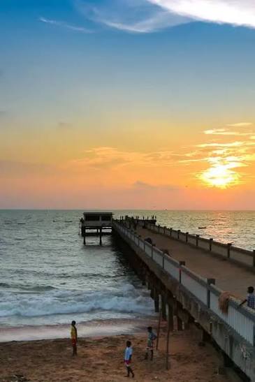
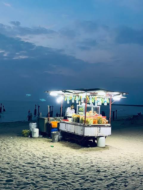
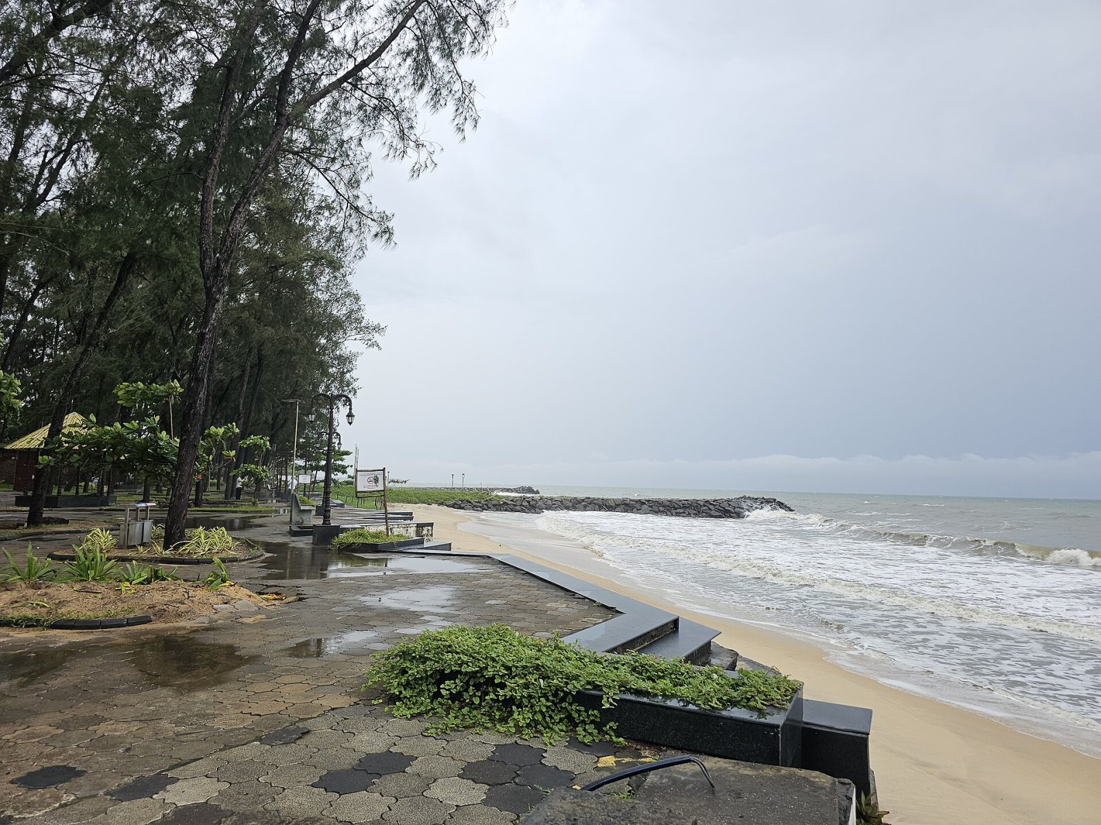
Kozhikode Beach
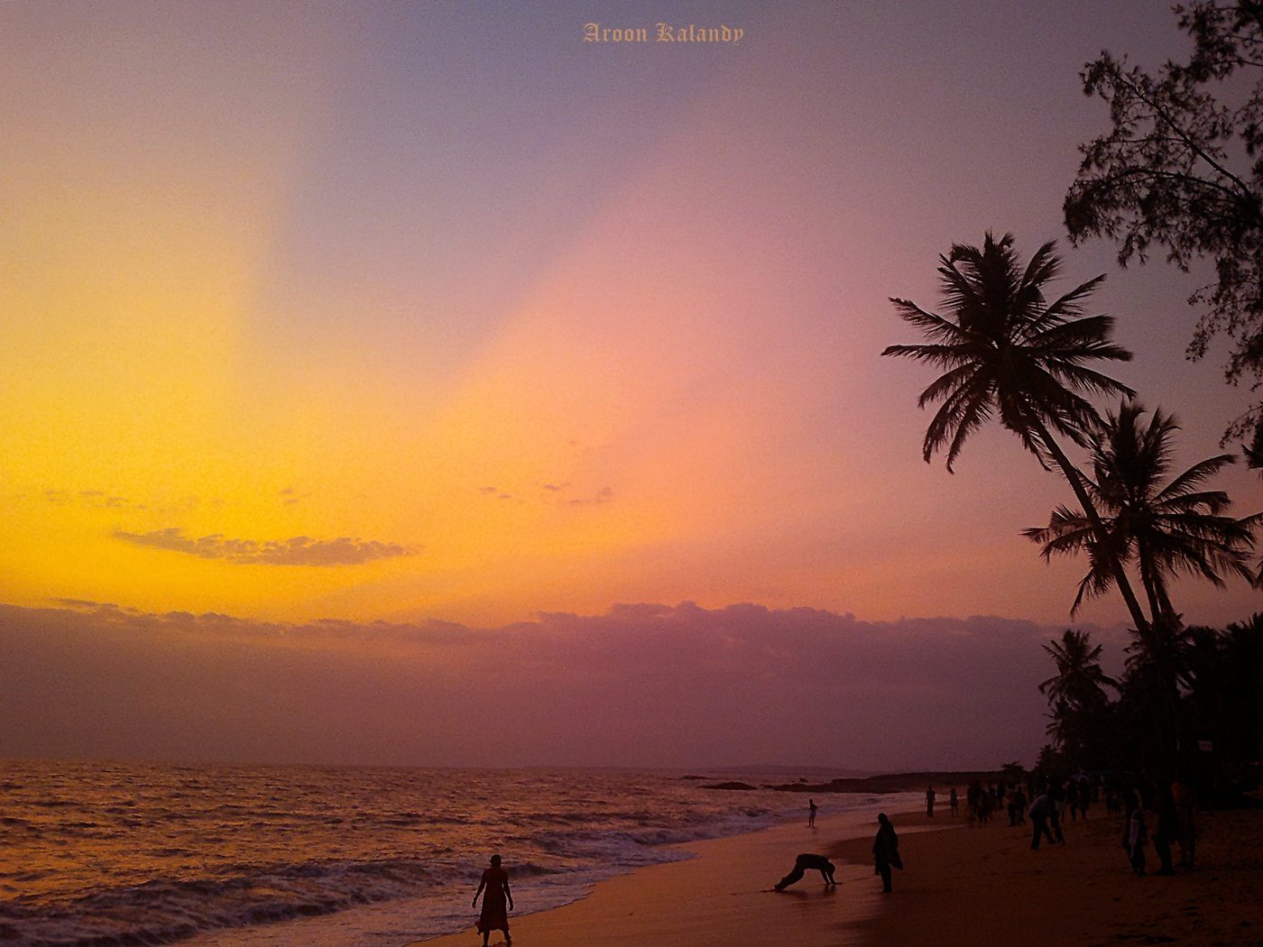
Kozhikode's long sea front is where the city comes out in the evening. Walk the promenade at sunset, see the old pier ruins and the lighthouse, and try the street food stalls — kallummakaya (mussels), sweet Kozhikode halwa and fresh sulaimani tea. It gets busy after five, which is part of the fun.
Kappad, about 16 km north of Kozhikode, is the beach where Vasco da Gama landed in May 1498 with three ships, opening the sea route from Europe to India and changing the history of the Malabar coast. A stone monument on the shore marks the event. The beach itself is rocky and calm, with a 800-year-old temple on a rock that juts into the sea and fishing boats drawn up along the sand. It is far quieter than Kerala's resort beaches, better for a walk and a sunset than for swimming. Local fishermen still work the same waters that carried the first Portuguese fleet.
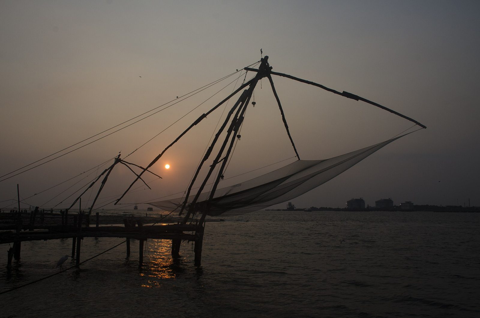
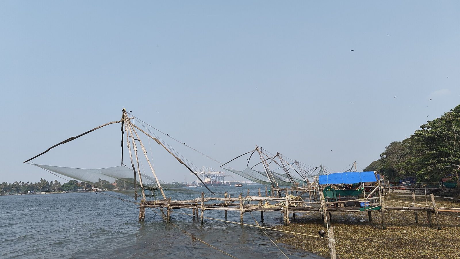
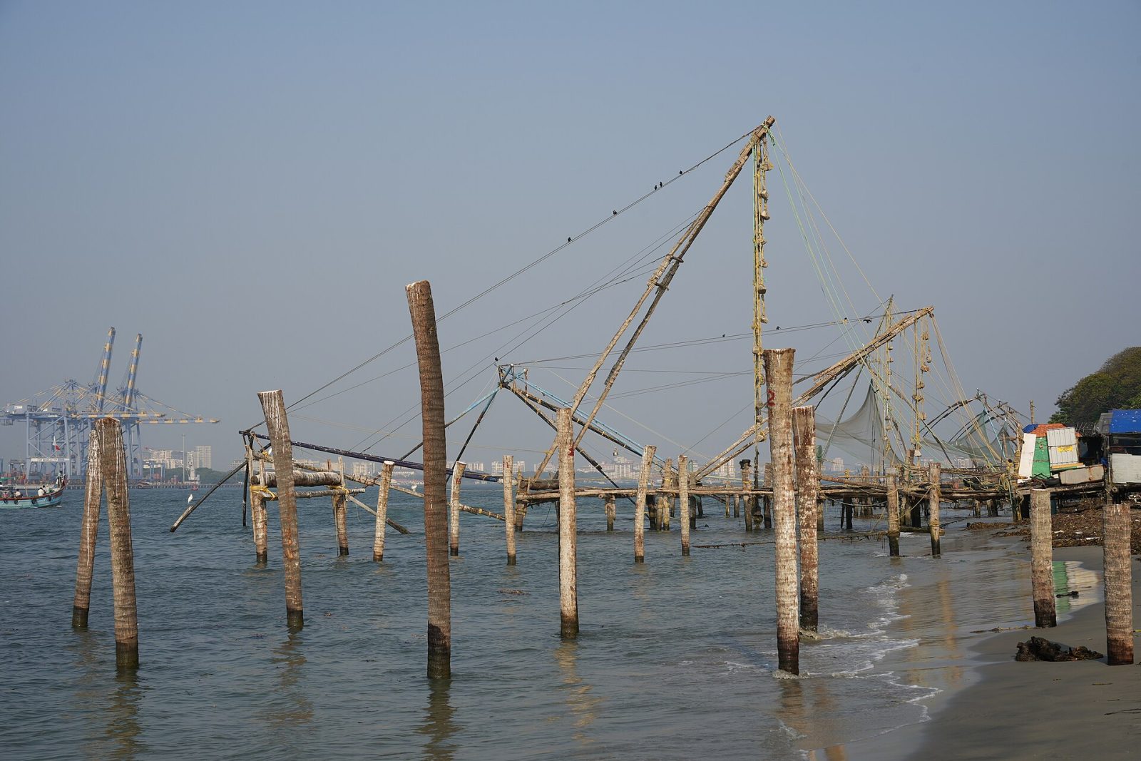
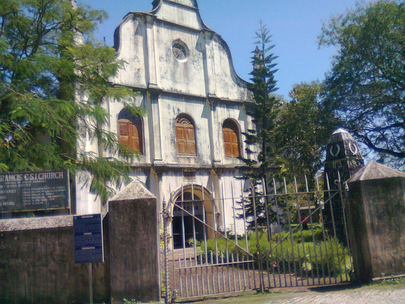
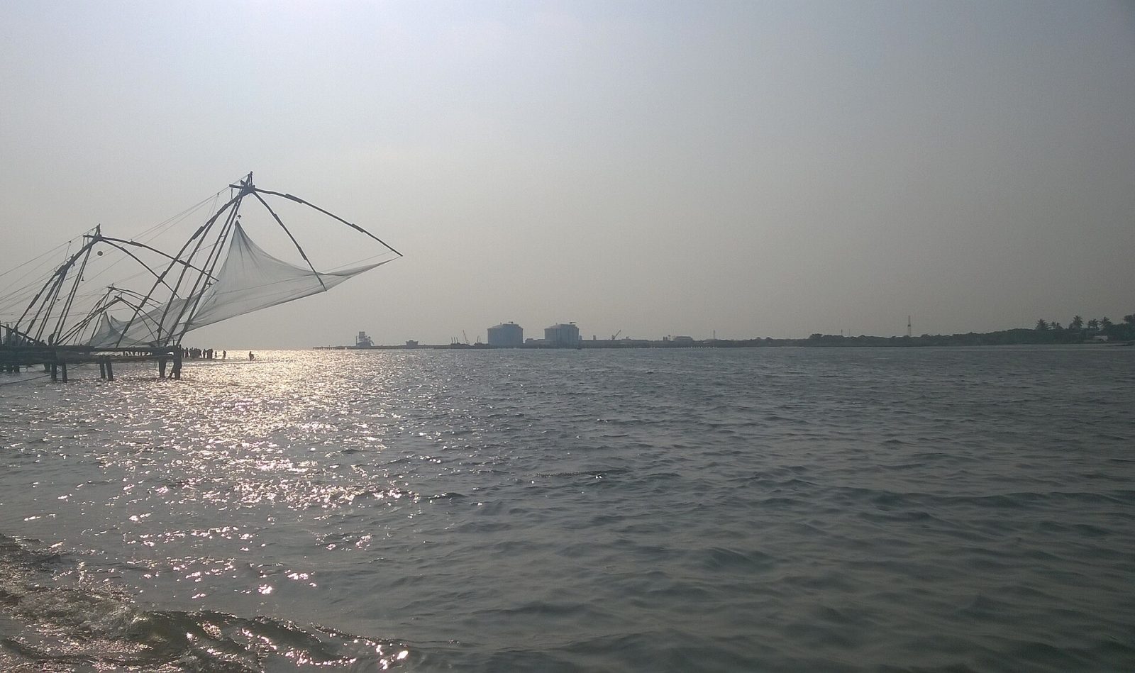
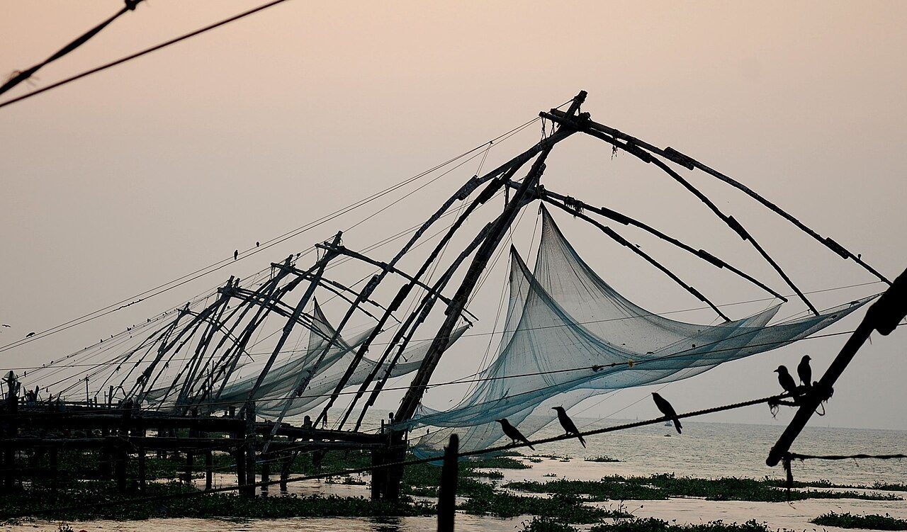
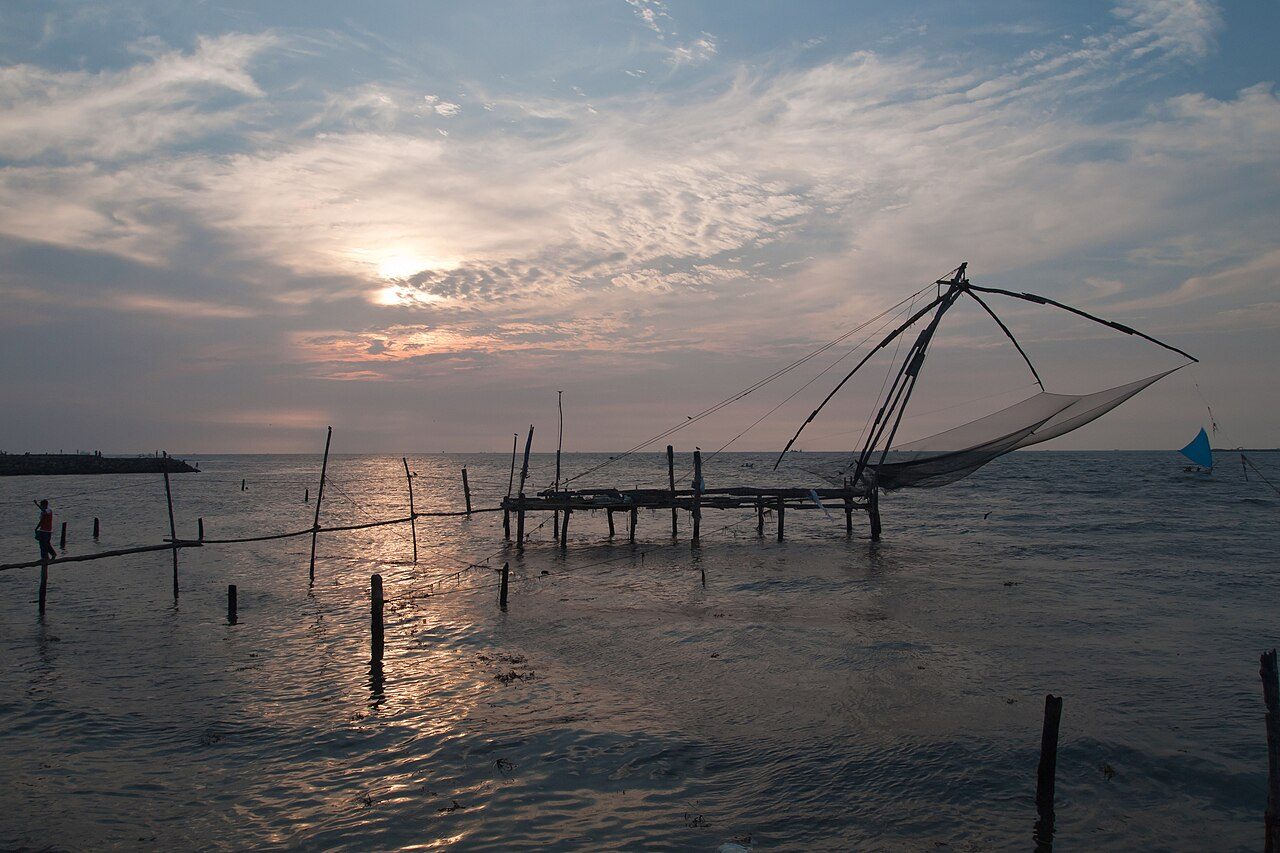
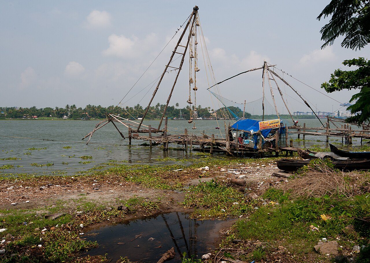
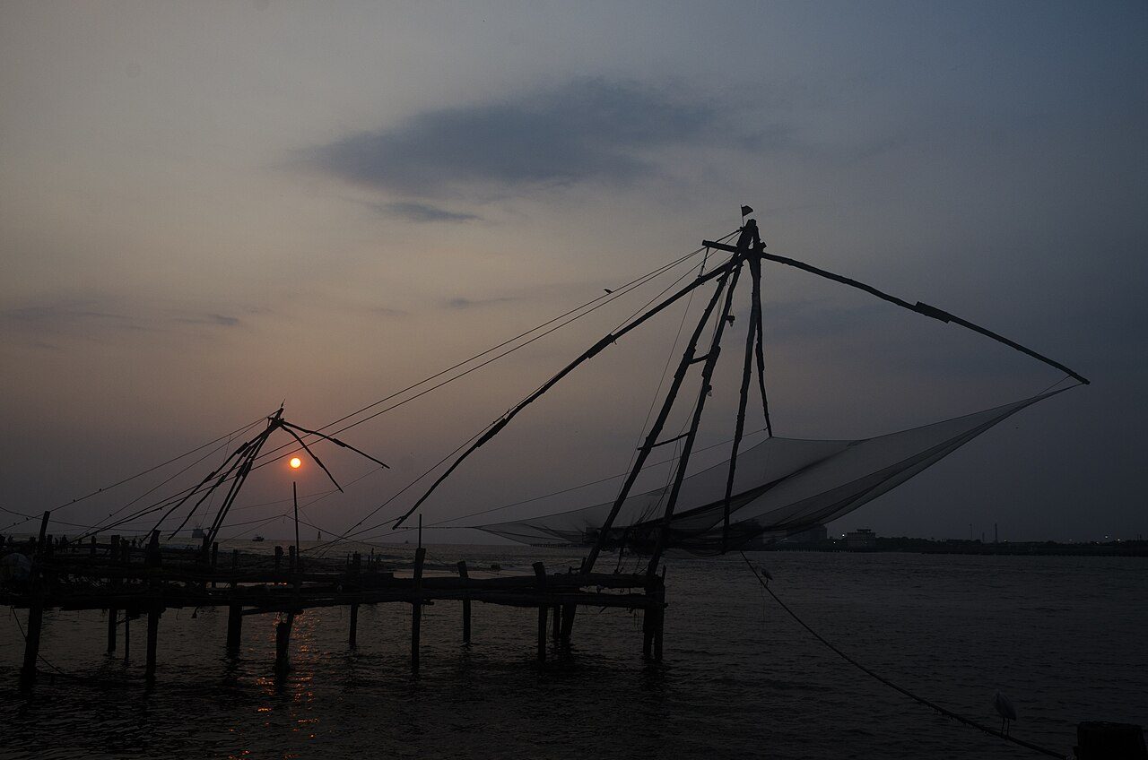
Fort Kochi is the old harbour quarter of Kochi, where Kerala met the rest of the world for more than five hundred years. Portuguese, Dutch and British traders all ruled here in turn, and their churches, warehouses and cemeteries still stand along quiet, tree-lined streets. The row of Chinese fishing nets on the shore, worked by teams of men using counterweights, is the image most visitors carry home. Nearby are St Francis Church, where Vasco da Gama was first buried, the old Jewish quarter of Mattancherry and streets full of cafes, murals and antique shops. Evening is the best time, when the sun drops behind the nets and the fish market comes alive.
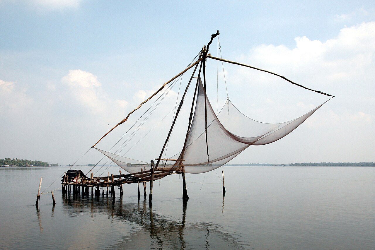
The cheena vala, the cantilevered fishing nets strung along the Fort Kochi shore, are the image most people carry away from the town. Each is a teak and bamboo frame about ten metres high, counterweighted with stones and worked by four or five men who walk the frame down to dip the net and then haul it up again. They are usually said to have come from the court of Kublai Khan with Chinese traders in the 14th century, though some historians credit Portuguese settlers from Macau. The nets work best at high tide and the catch is sold on the spot at the stalls behind them. Sunset, with the frames silhouetted against the channel and the ships moving out, is the hour everyone comes for.
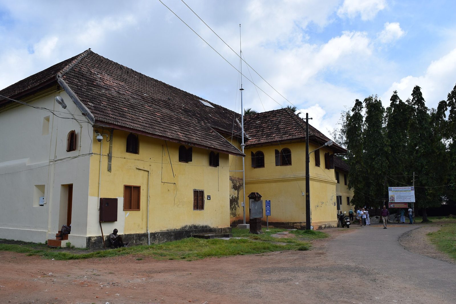
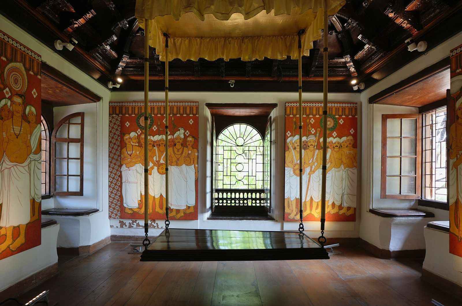
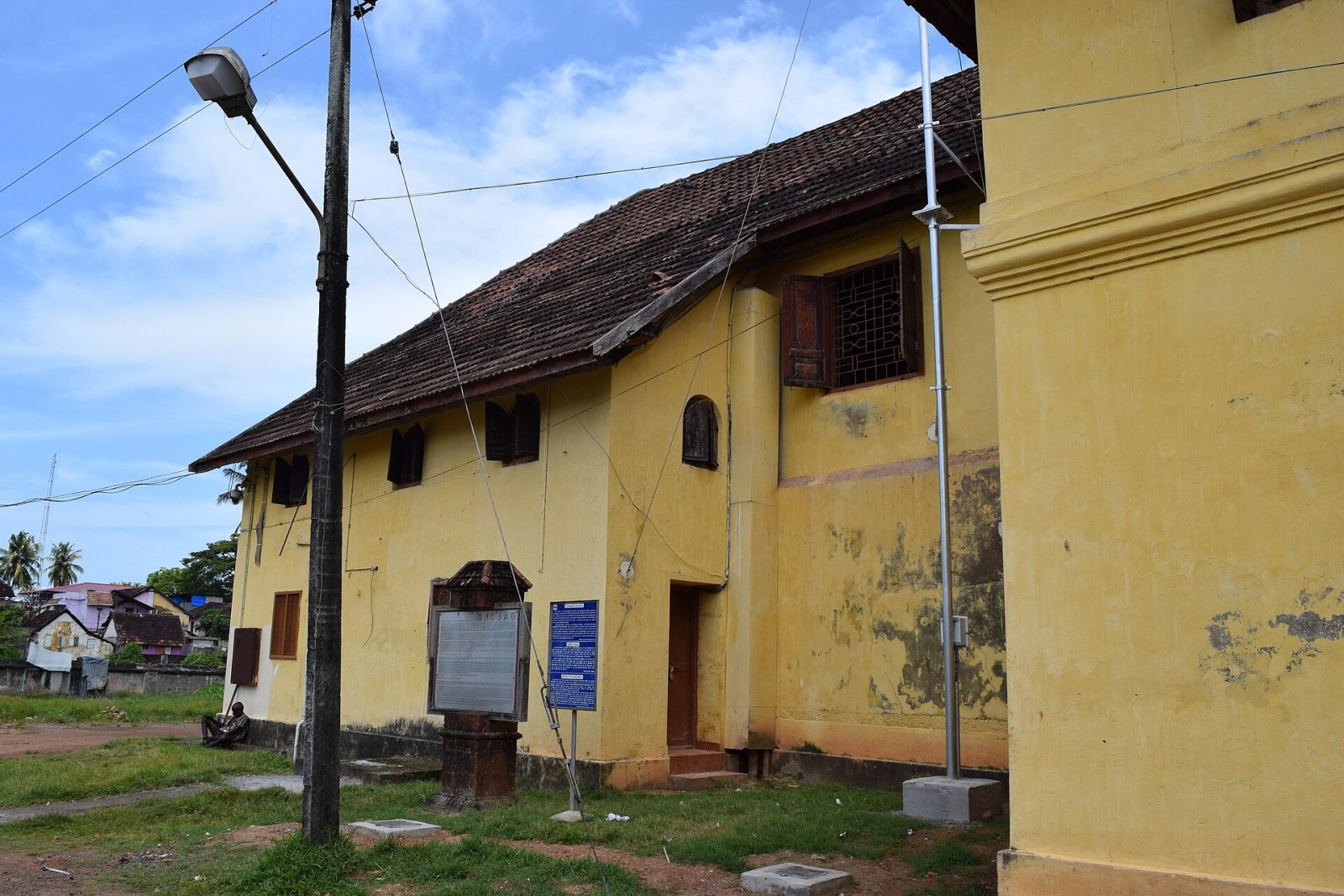
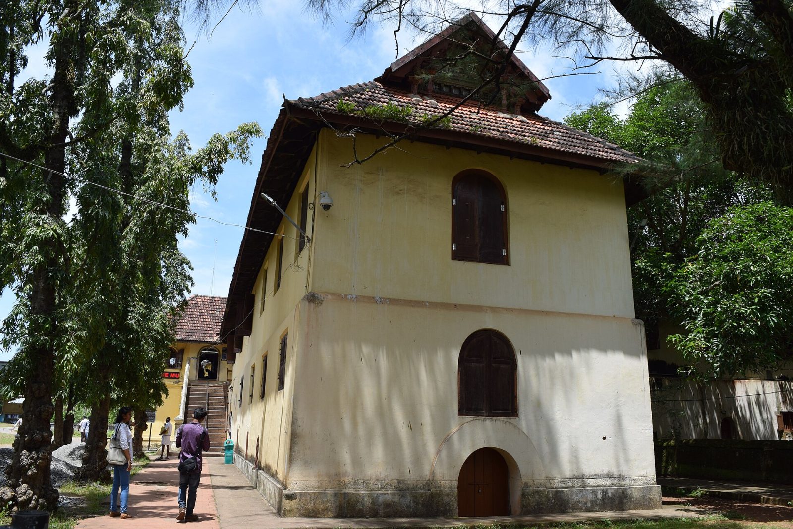
Mattancherry Palace, usually called the Dutch Palace, was built by the Portuguese around 1555 as a gift to the Raja of Kochi, and later repaired and extended by the Dutch. From outside it is a plain building in Kerala style around a courtyard with a temple to the goddess Pazhayannur Bhagavati. Inside are its treasures: room after room of murals painted in vegetable colours telling stories from the Ramayana and Mahabharata, some of the finest temple art in India. The coronation hall holds the palanquins, weapons and portraits of the Kochi rajas. It stands in Jew Town beside the synagogue and the spice markets, and photography inside is not allowed.
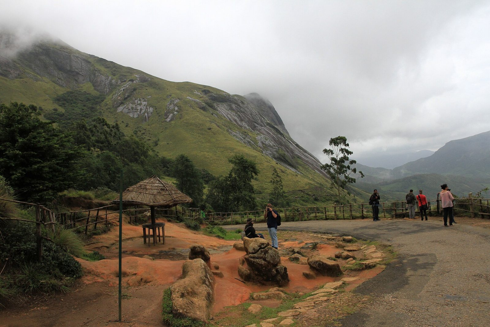
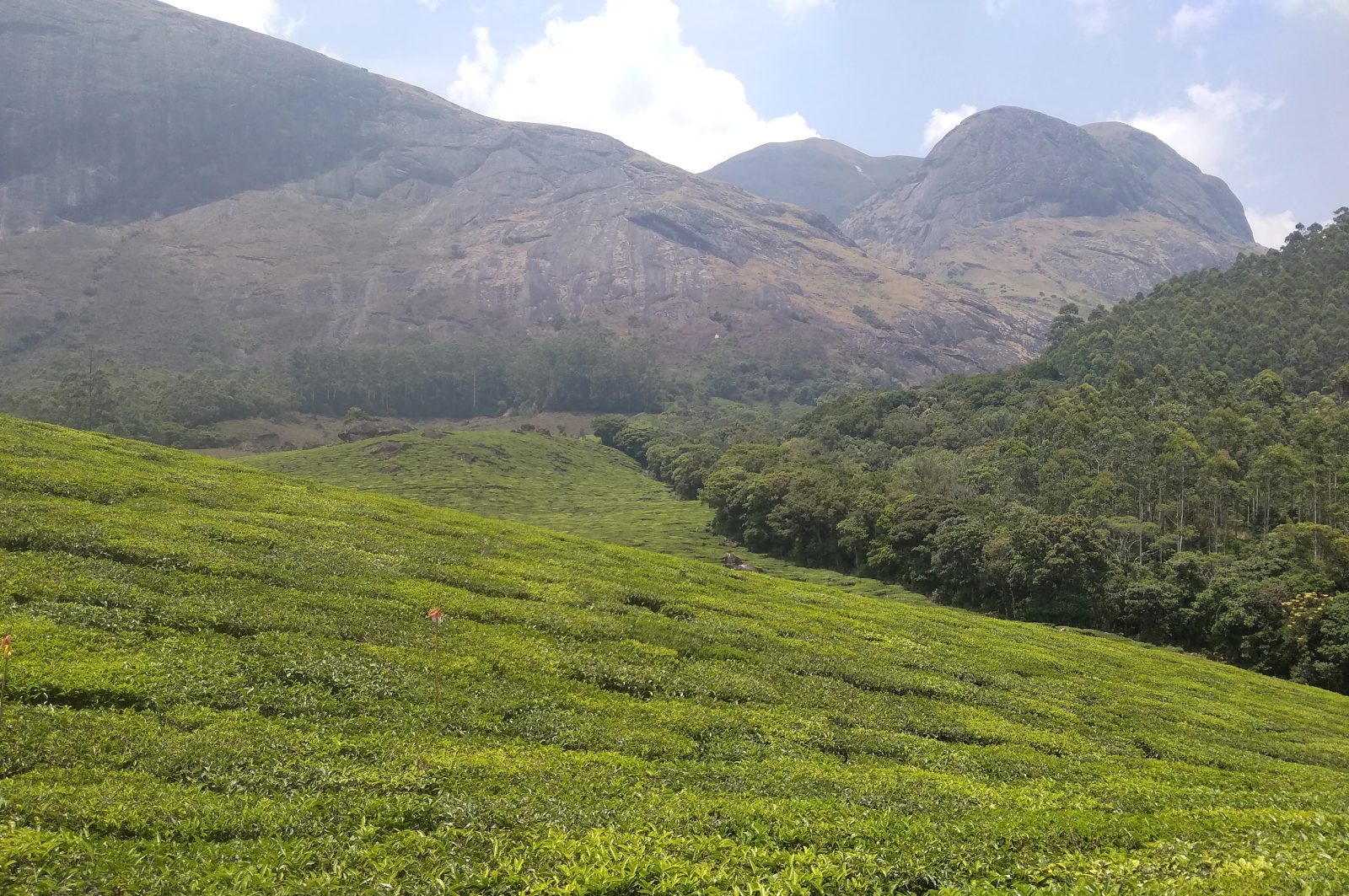
Eravikulam, above Munnar in Idukki district, was Kerala's first national park and protects the largest surviving population of the Nilgiri tahr, a wild mountain goat found nowhere else. The park's rolling grasslands and sheltered shola forests sit at over 2,000 metres, and Anamudi, the highest peak in south India at 2,695 metres, rises inside it. Visitors are taken by bus to the Rajamala area, from where a short walking trail leads among tahr that are used to people and often graze close by. Every twelve years the hillsides turn blue when the neelakurinji flowers bloom together. The park closes for the calving season, roughly February to March, so check before you go.
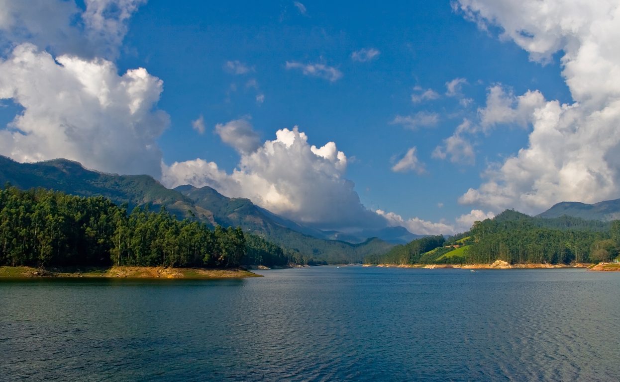
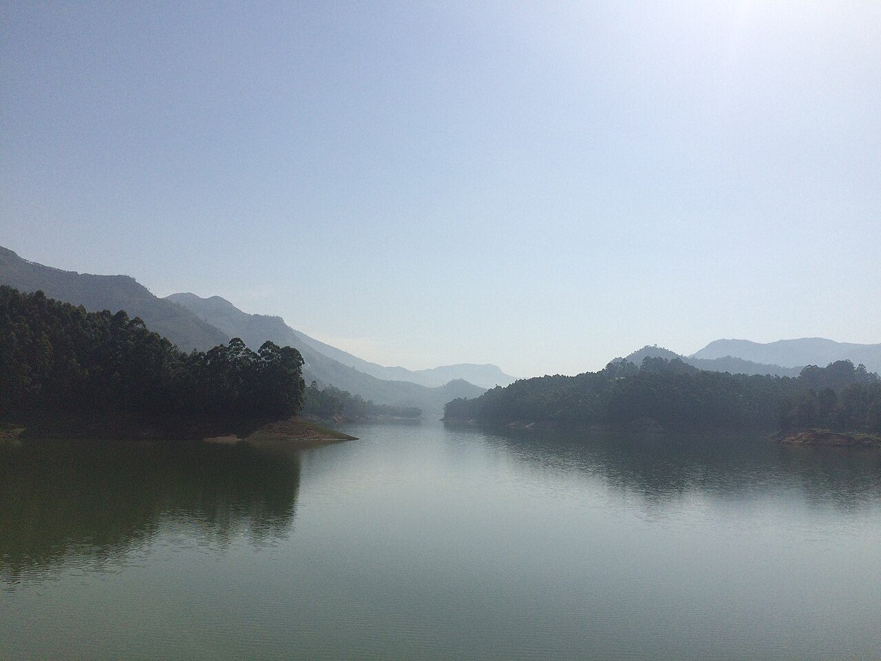
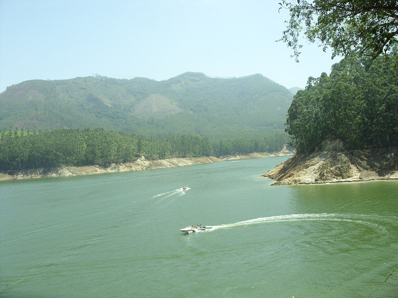
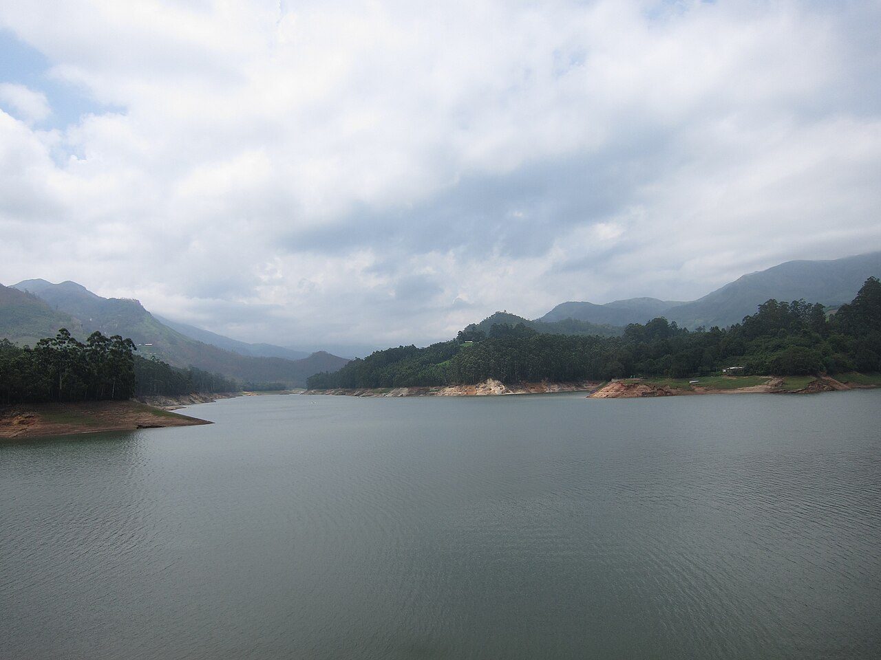
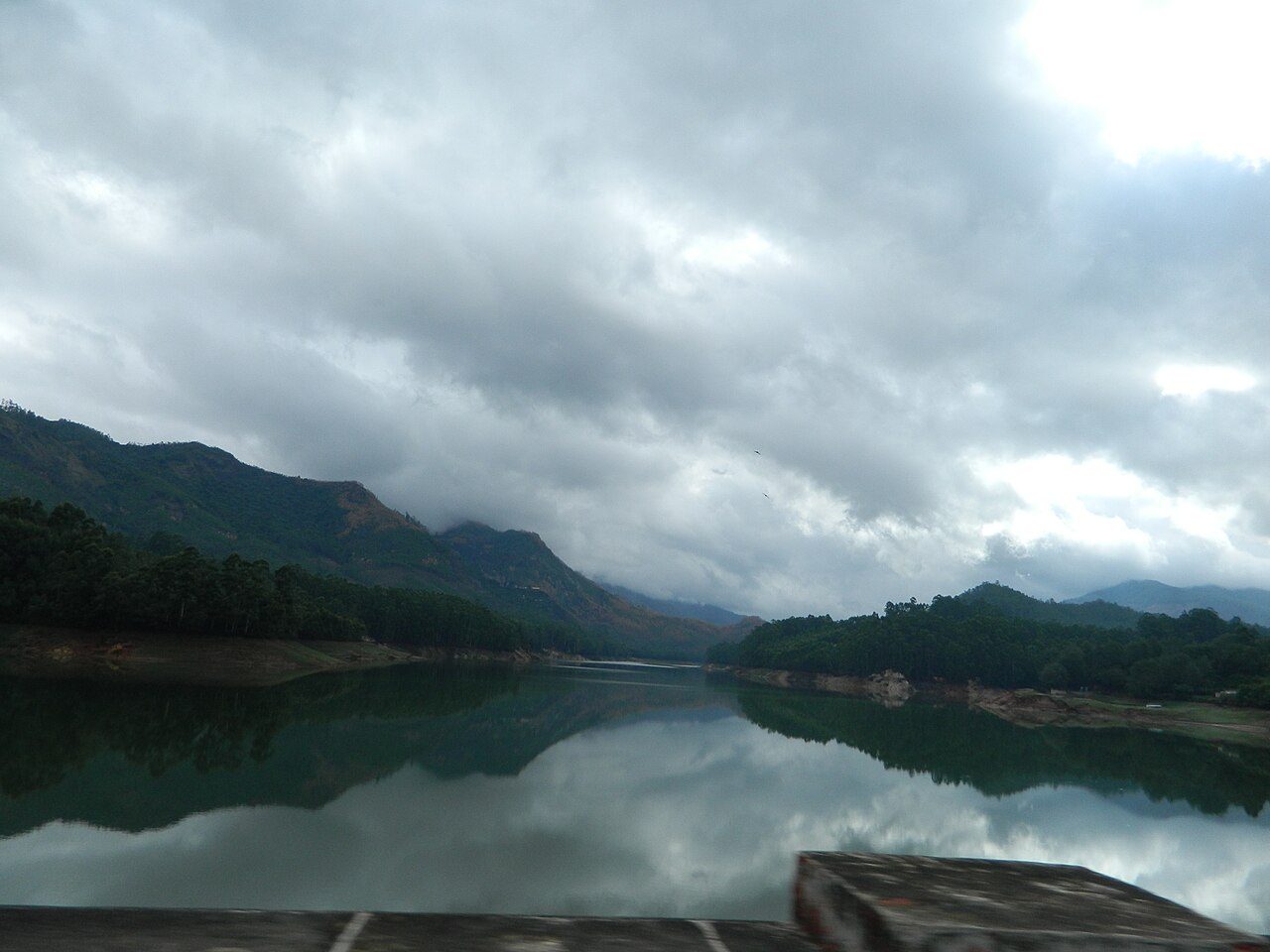
Mattupetty, about 13 km from Munnar at around 1,700 metres, is a concrete gravity dam built in the 1940s to store water for the Pallivasal hydroelectric project. The reservoir sits among tea-covered hills and sholas, and pedal boats and speedboats run on it through the day. Beside the dam is the Indo-Swiss livestock project, a government cattle farm where high-yielding cross-bred cows are raised and visitors can see the dairy at set hours. The stretch of road between Munnar and Mattupetty, past Photo Point, is one of the most photographed in Kerala. Early morning here is often misty and cold enough to need a jacket even in summer.
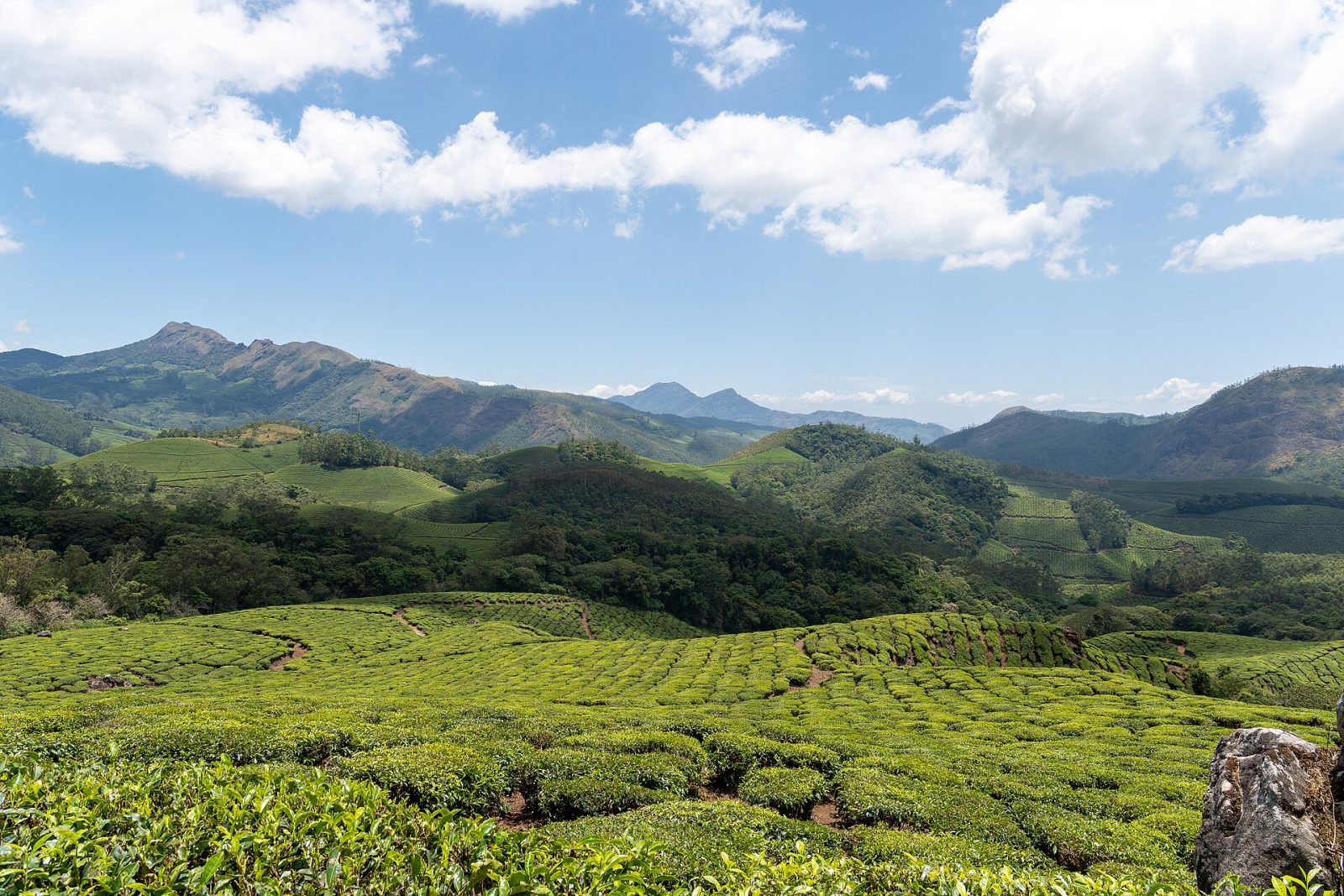
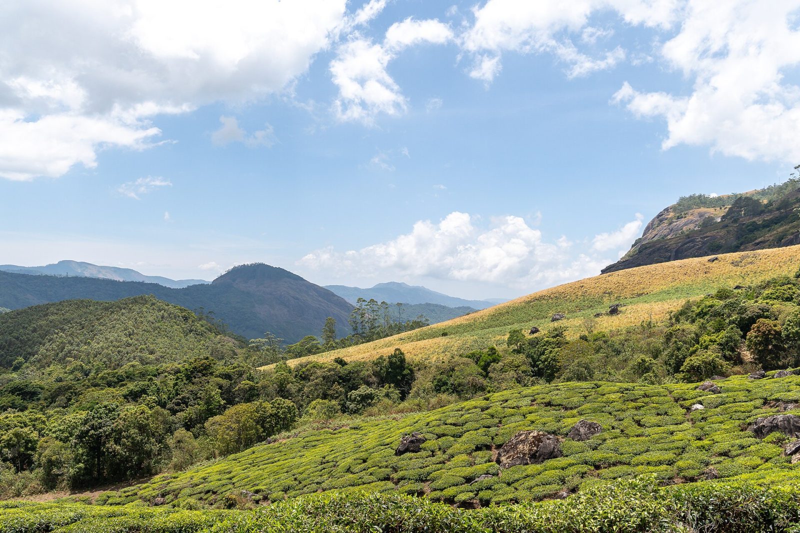
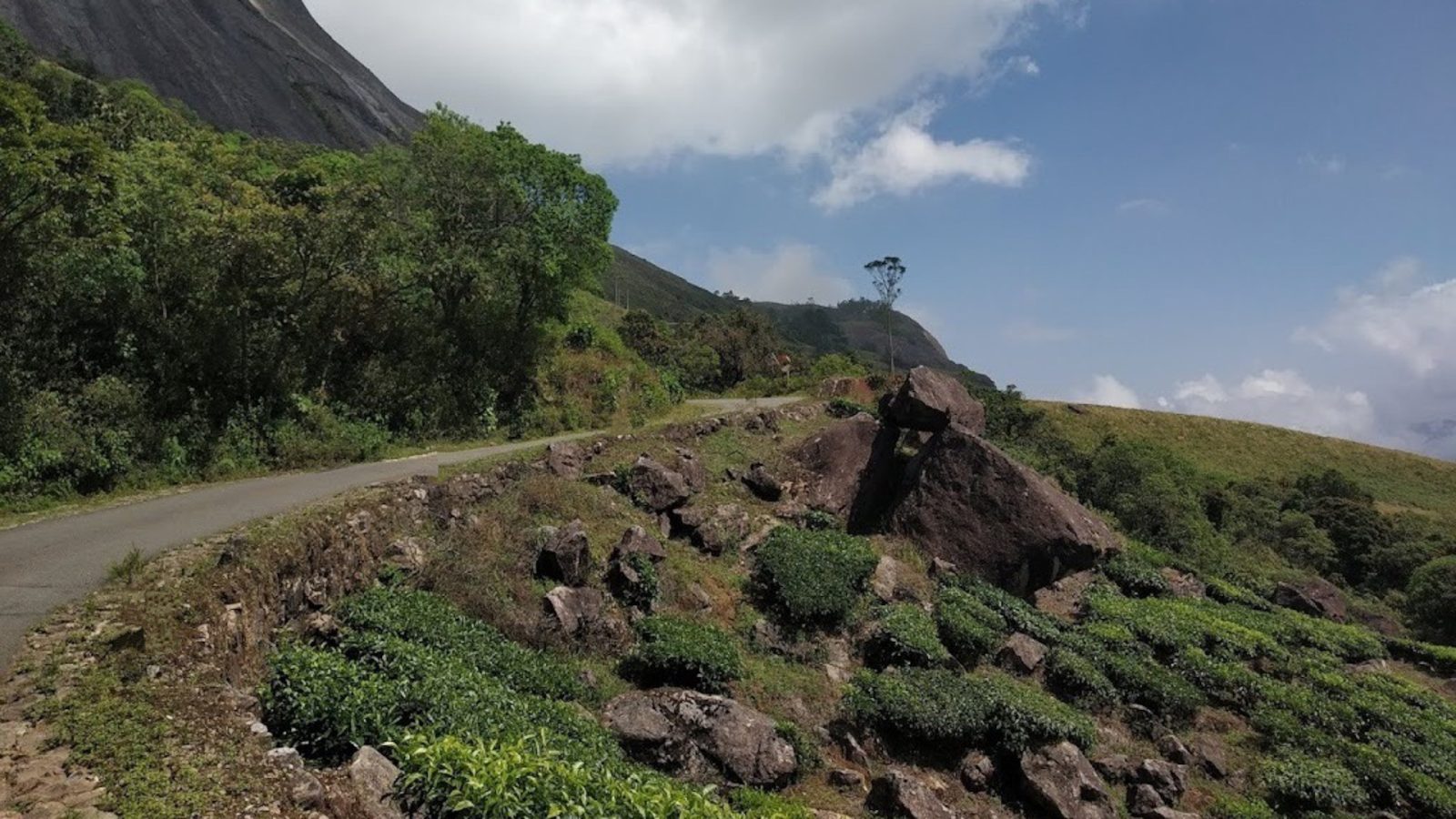
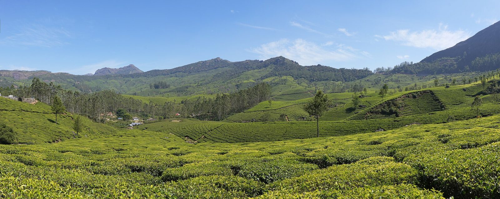
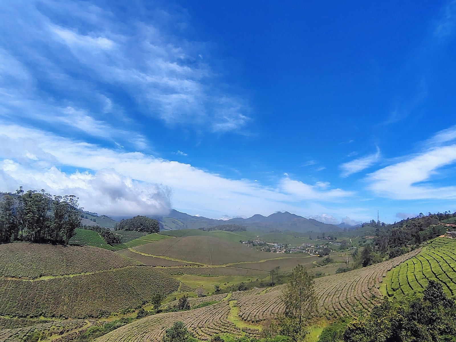
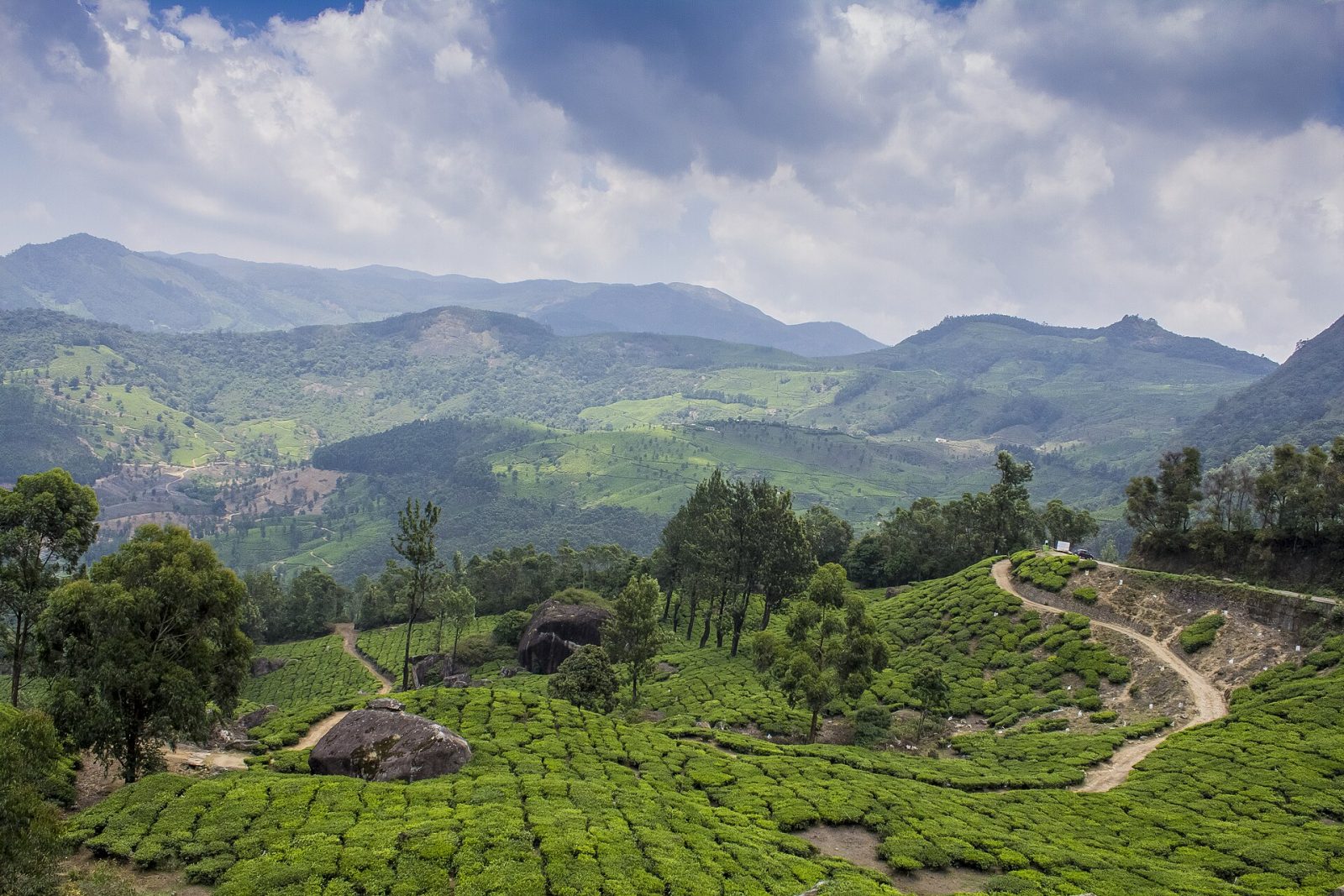
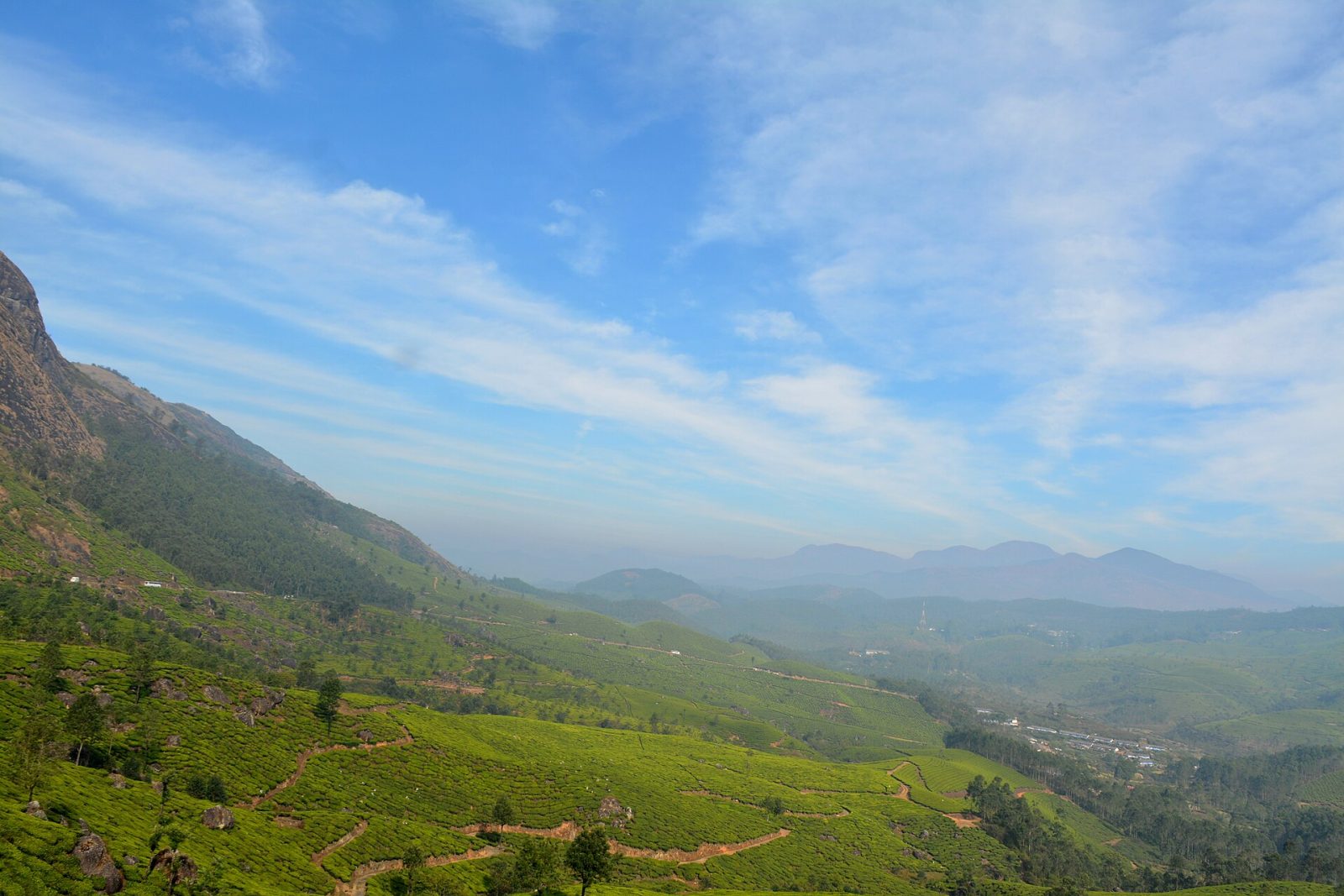
The tea estates that cover the hills around Munnar belong to Kannan Devan Hills Plantations, the company that grew out of the British planting concerns of the 1870s and 1880s, ran as Tata Tea for much of the 20th century, and since 2005 has been owned largely by its own workers. Its estates — Nallathanni, Lockhart, Gundumalai, Chundavurrai and others — run in terraces from the valley floor at about 1,500 metres up to the ridge lines, and they are the reason Munnar exists. Driving or walking through them, past plucking crews and the old planters' bungalows, is the main thing visitors come here for, and the Tata Tea Museum on the Nallathanni estate explains how the leaf becomes the cup. The gardens frame almost every viewpoint in the district, from Pothamedu above the town to the roads out towards Mattupetty and Top Station. The air stays cool all year and the clearest months are September to March.
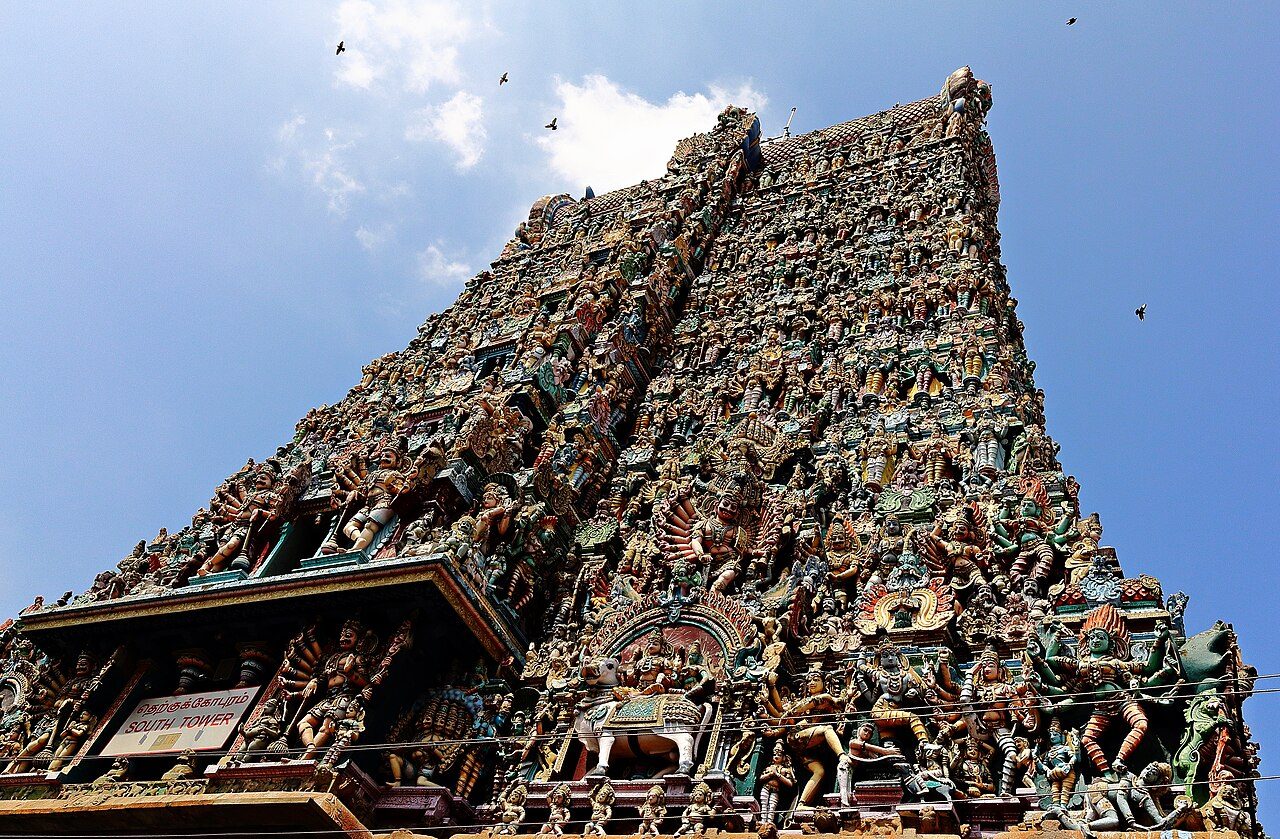
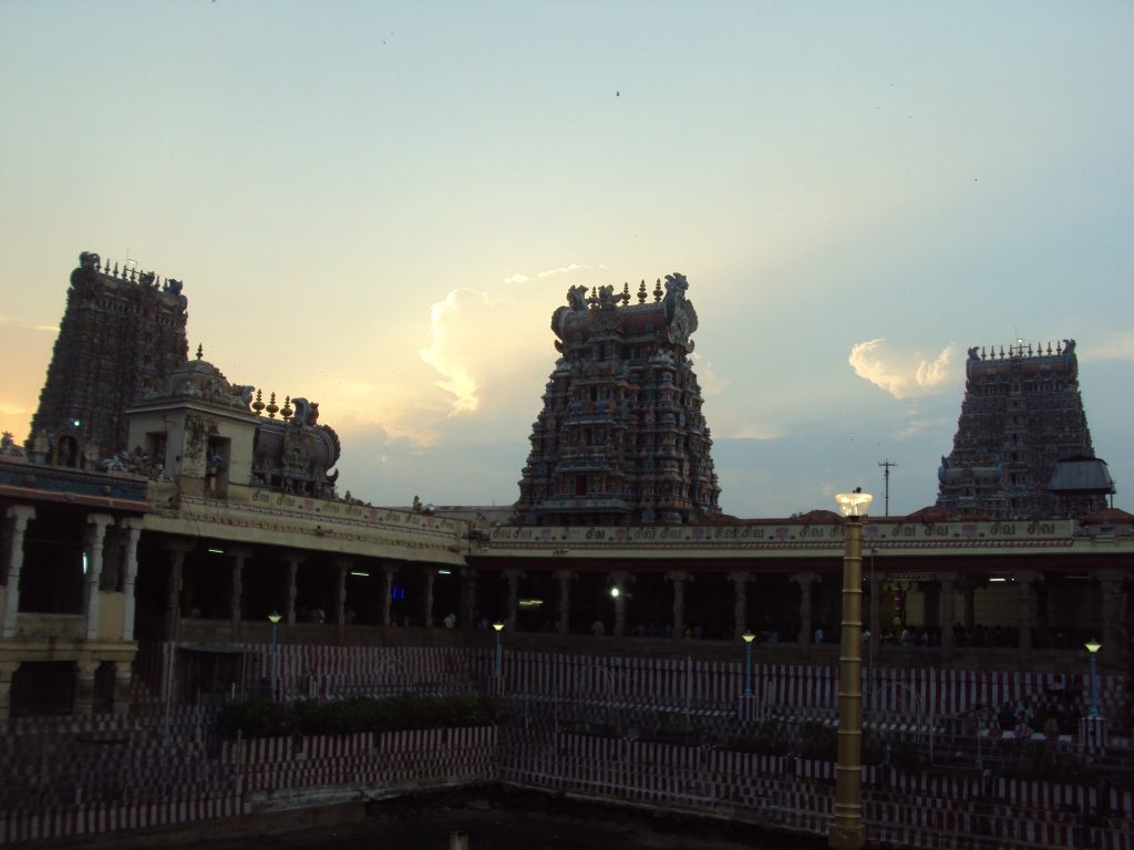
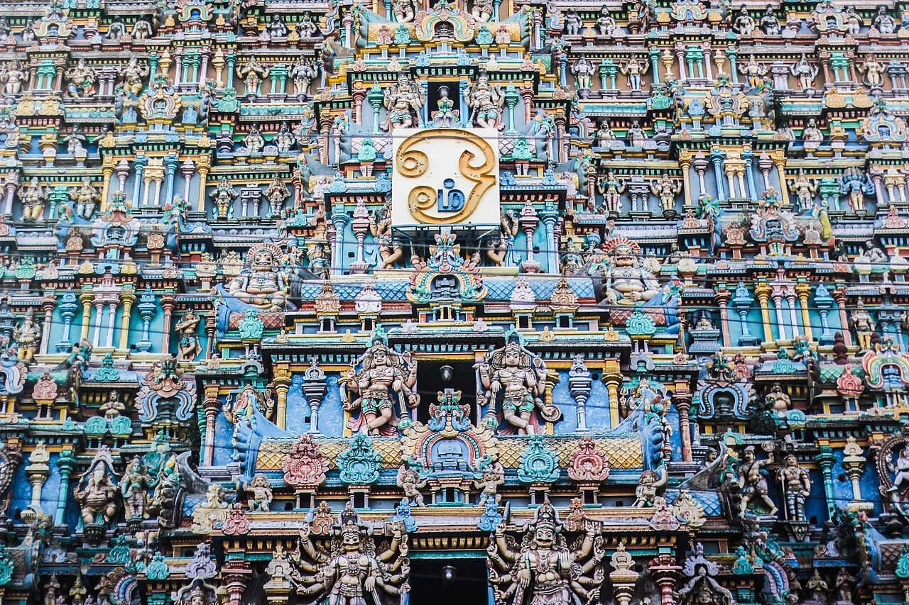
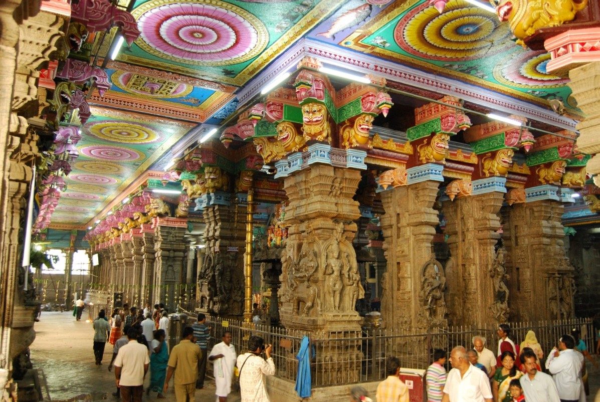
The great twin temple of Madurai, where Meenakshi, the fish-eyed goddess, takes precedence over her consort Sundareswarar - an unusual arrangement in a Shiva temple. The city is laid out in concentric squares around it, and the present structure is largely the work of the Nayak rulers of the 16th and 17th centuries, after the earlier temple was sacked in 1310. Its fourteen gopurams, the thousand-pillared hall and the Chithirai festival of Meenakshi's marriage draw millions of pilgrims a year.
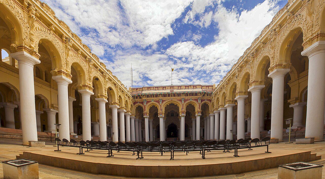
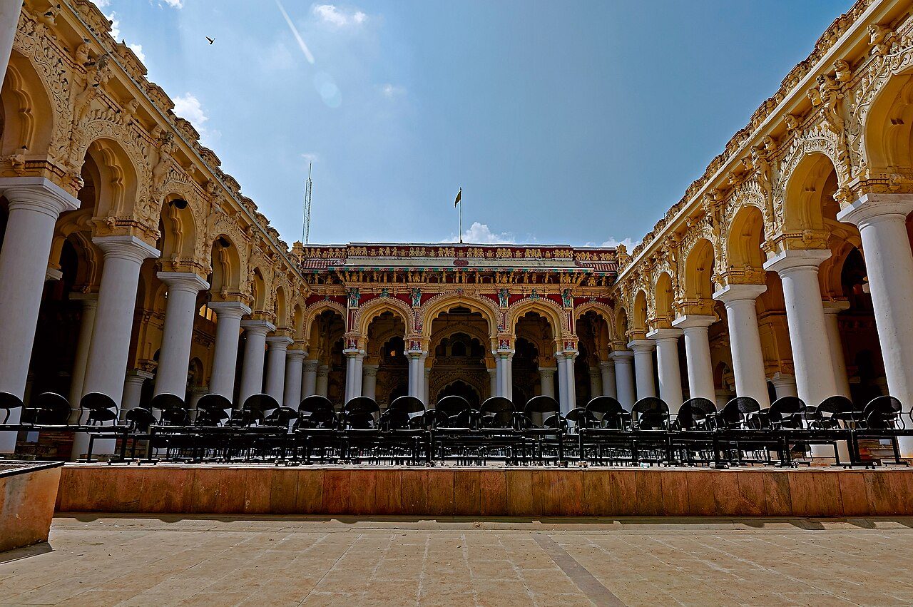
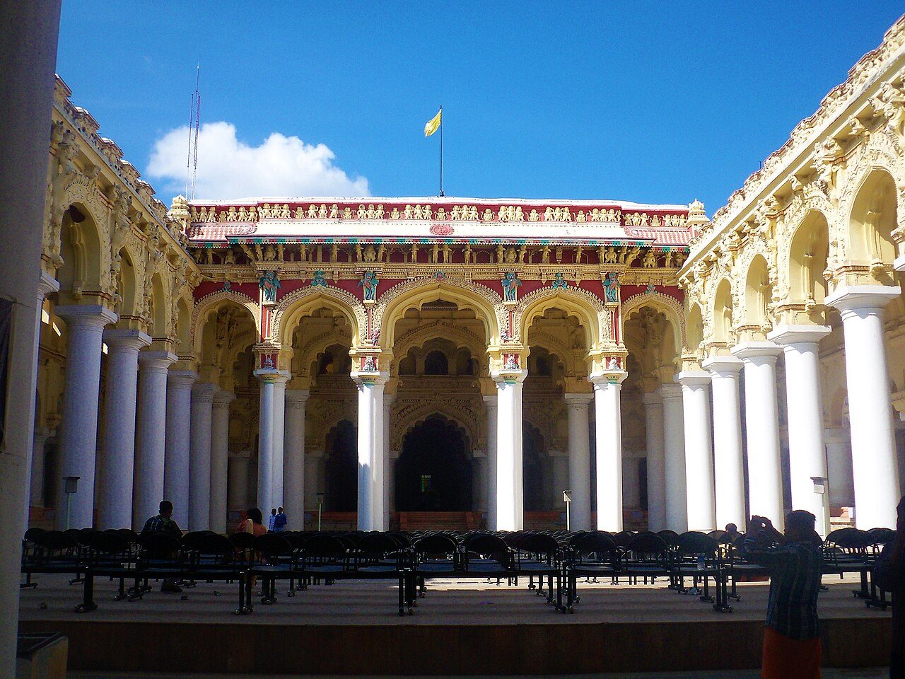
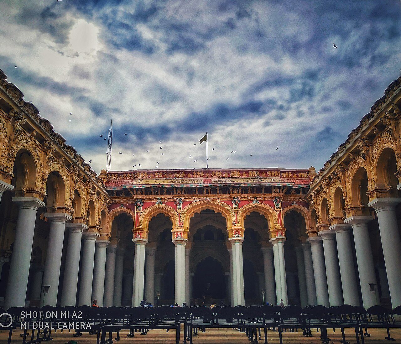
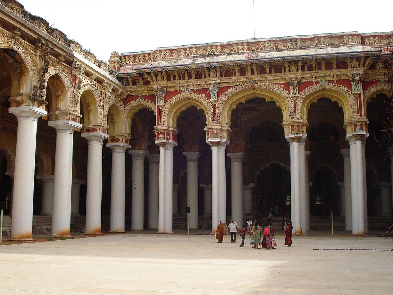
Built in 1636 by Thirumalai Nayak, the palace once covered several times its present area; what survives is the Swarga Vilasam, the great pillared courtyard and dance hall. Its towering columns and stucco domes blend Dravidian building with Islamic and European forms. Lord Napier had it partly restored in the 1860s, and it is now a protected national monument.
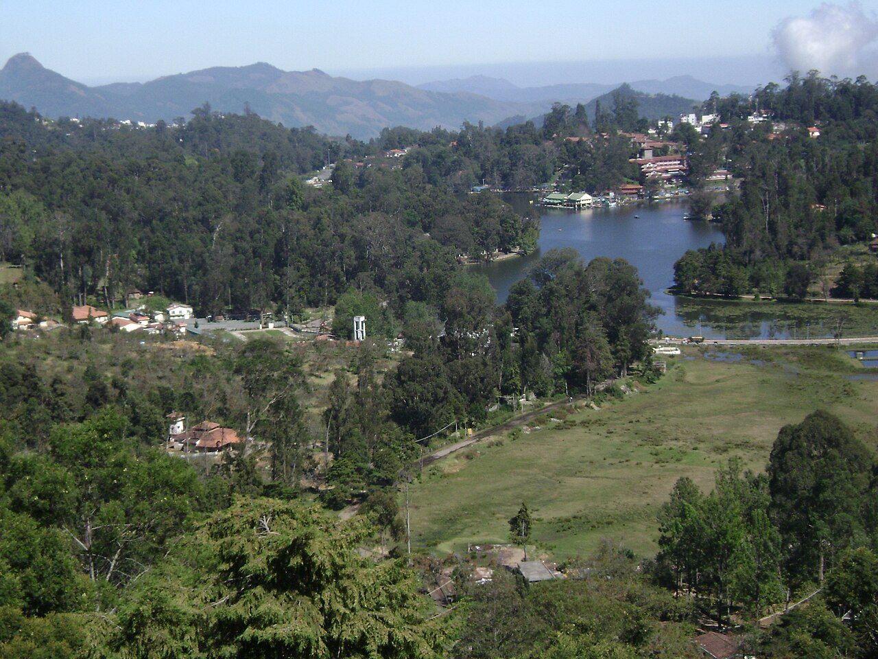
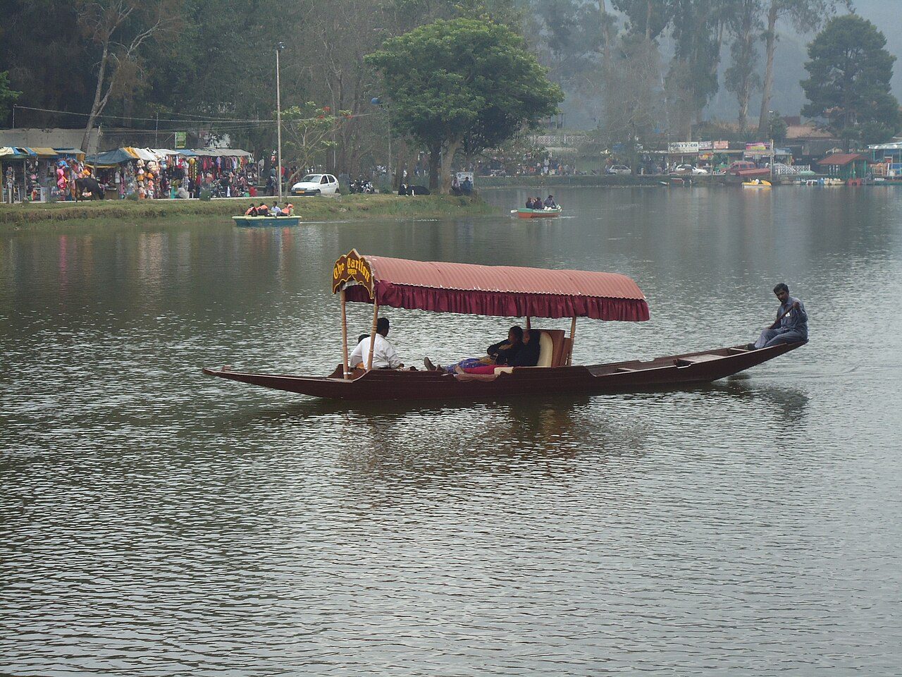
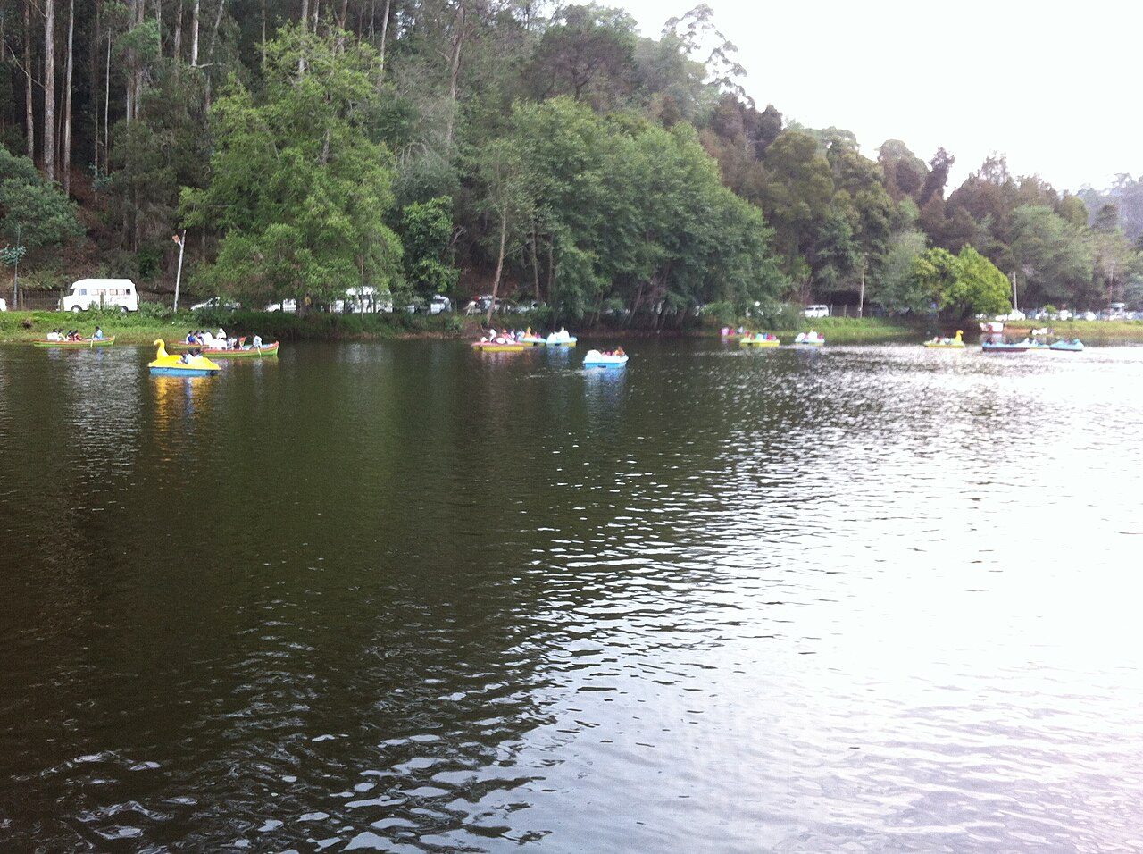
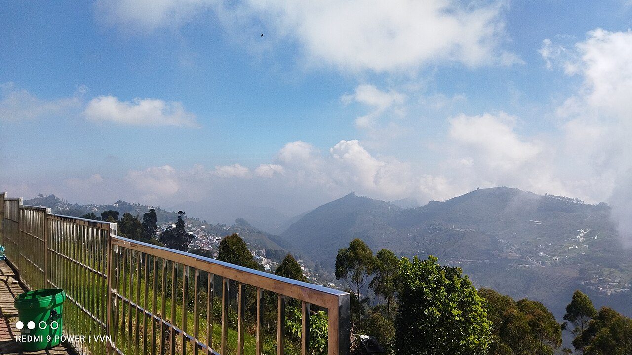
A star-shaped artificial lake of about 24 hectares, created in 1863 when Sir Vere Henry Levinge, the retired Collector of Madurai, dammed three streams in the hollow below the settlement. A five-kilometre path runs around it, and boats and hired bicycles are the usual way to see it.
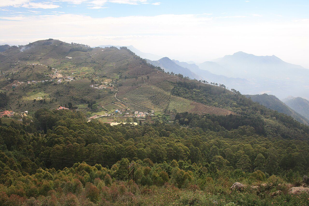
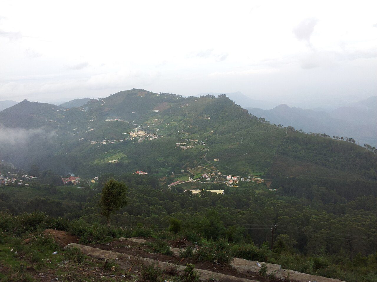
A paved path about a kilometre long, cut along the edge of a steep slope in the 1870s and named for Lieutenant Coaker, who surveyed it. On a clear morning the view runs out over the plains as far as Dolphin's Nose, and now and then to Madurai.
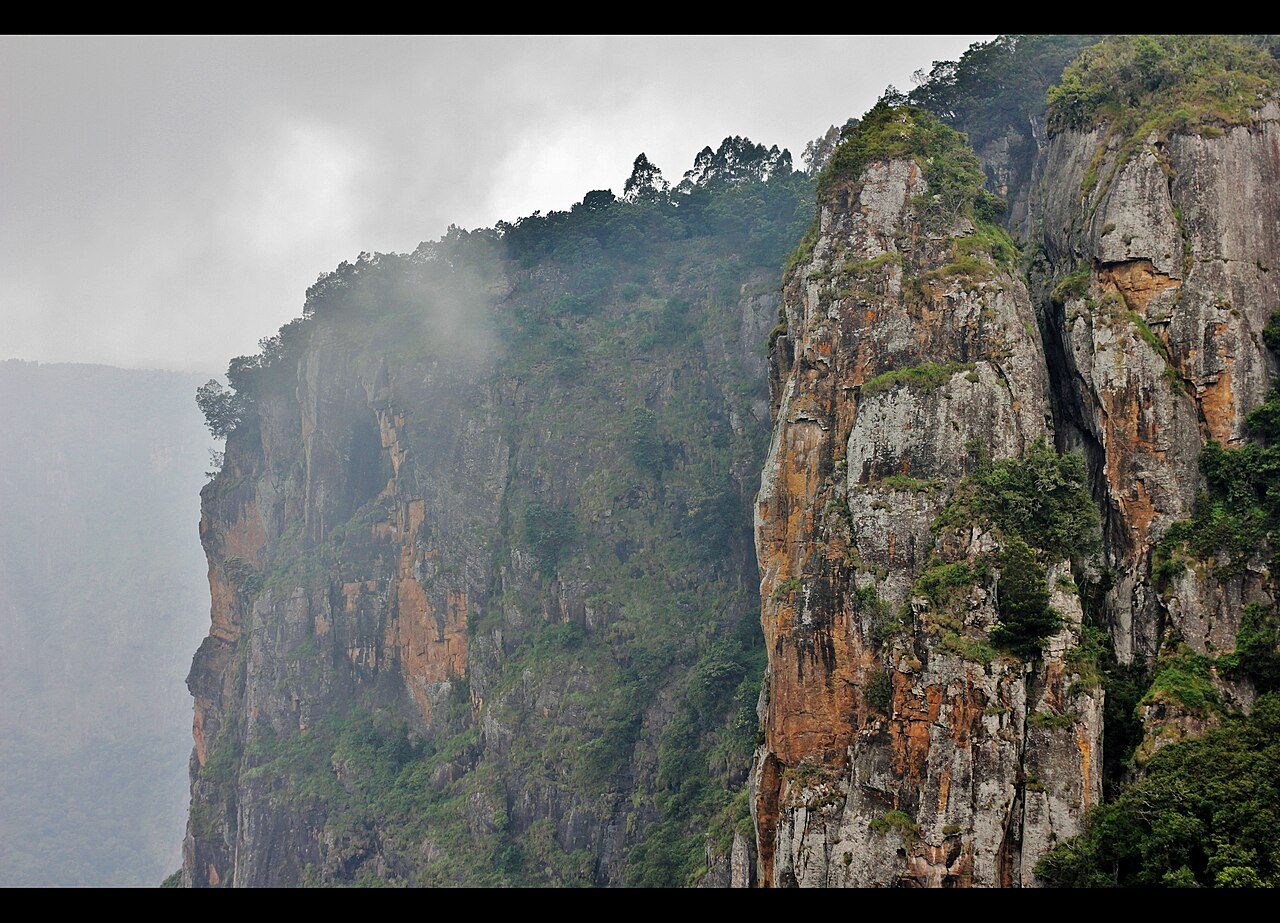
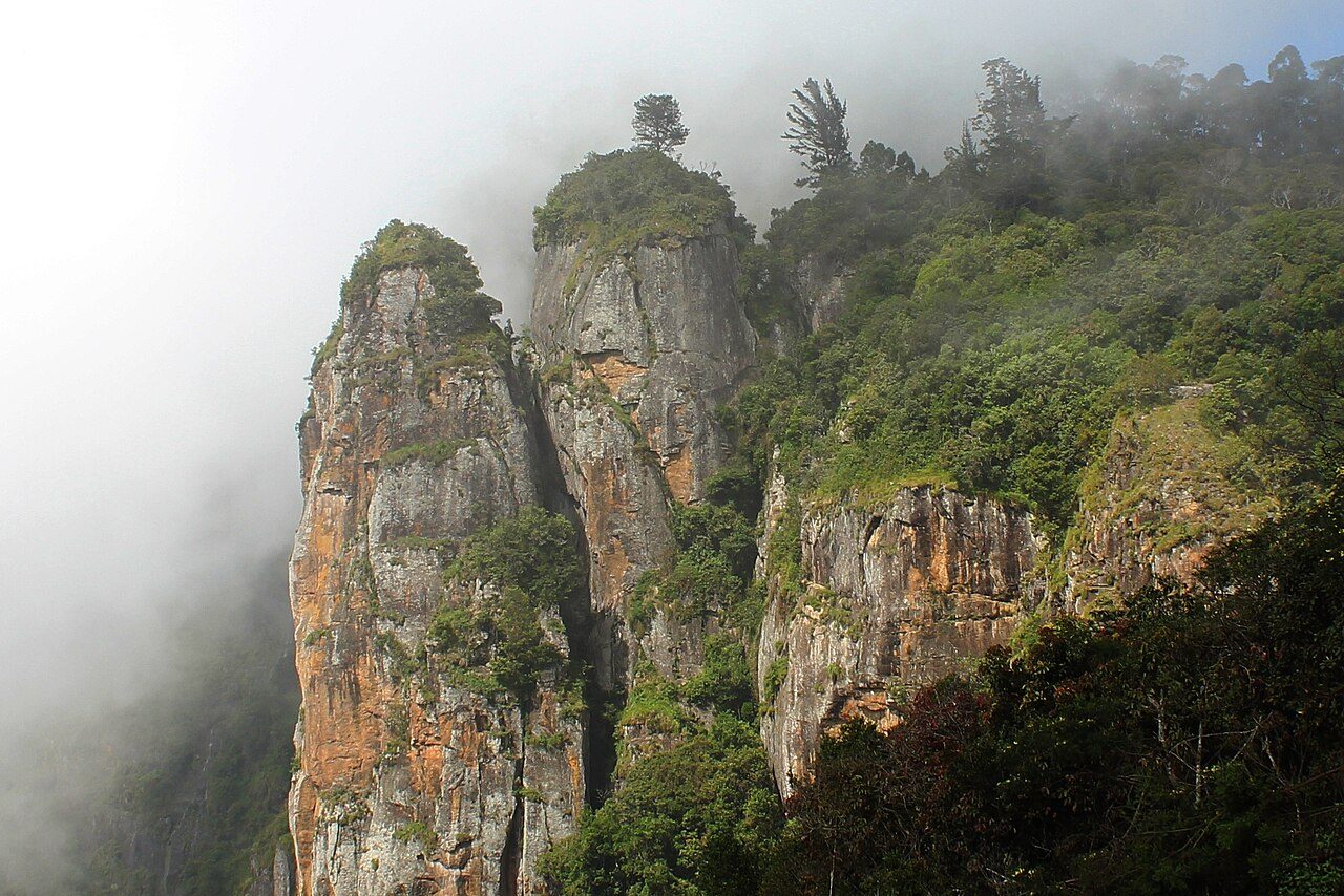
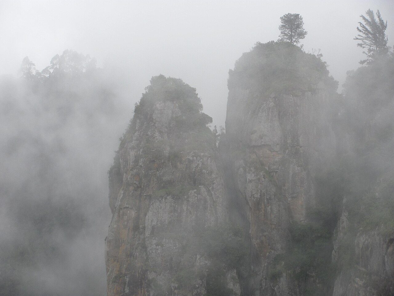
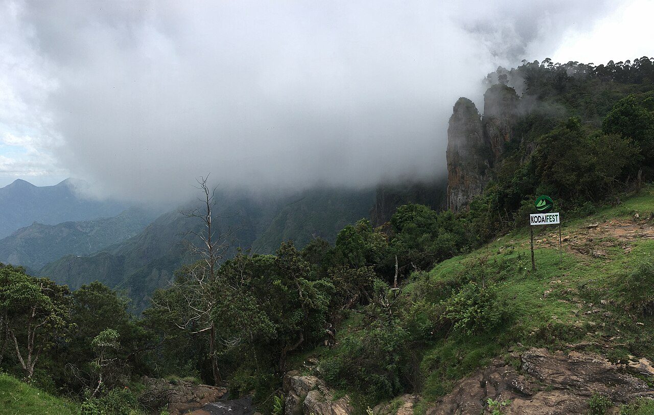
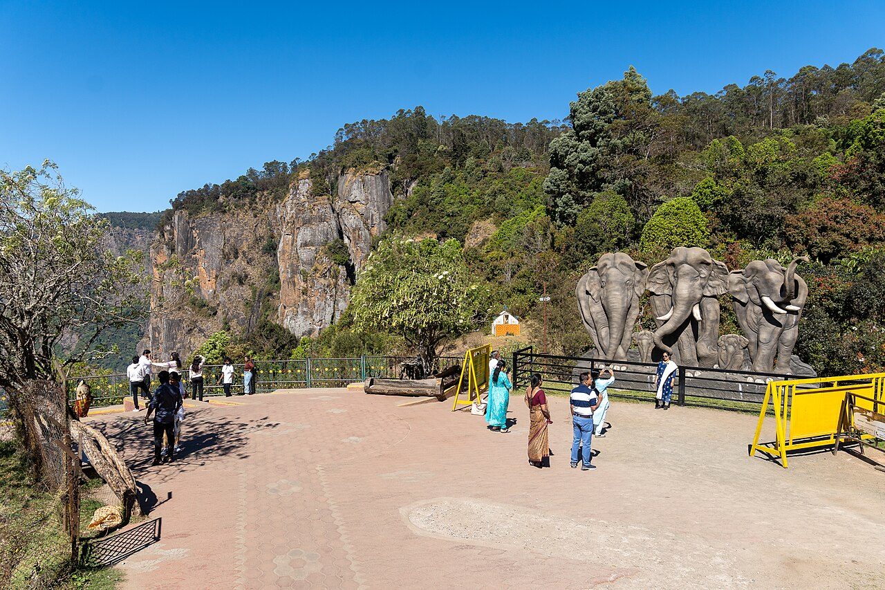
Three granite blocks about 120 metres high standing side by side on the edge of the plateau, seven kilometres from Kodaikanal town. A garden was laid out at the viewpoint; by afternoon the rocks are often lost in cloud.
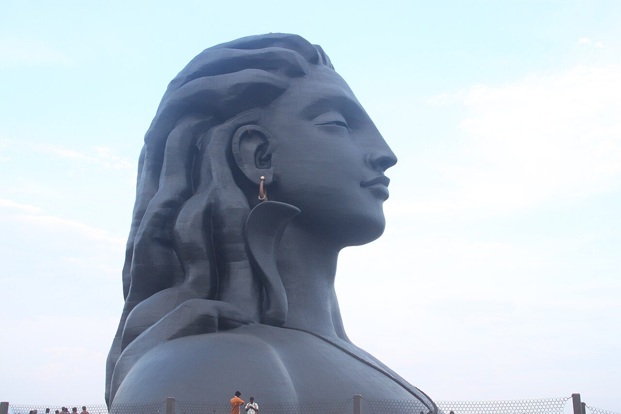
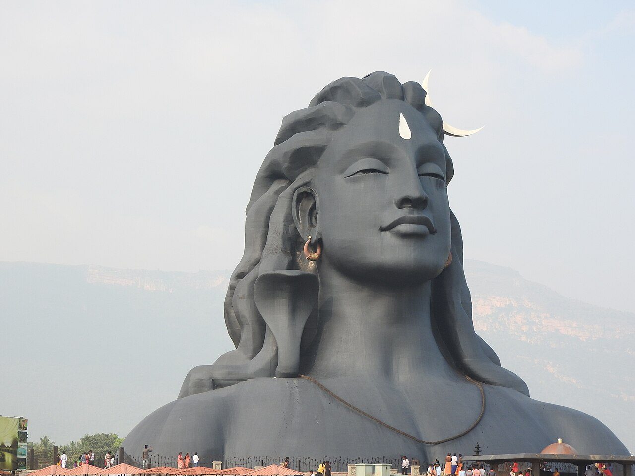
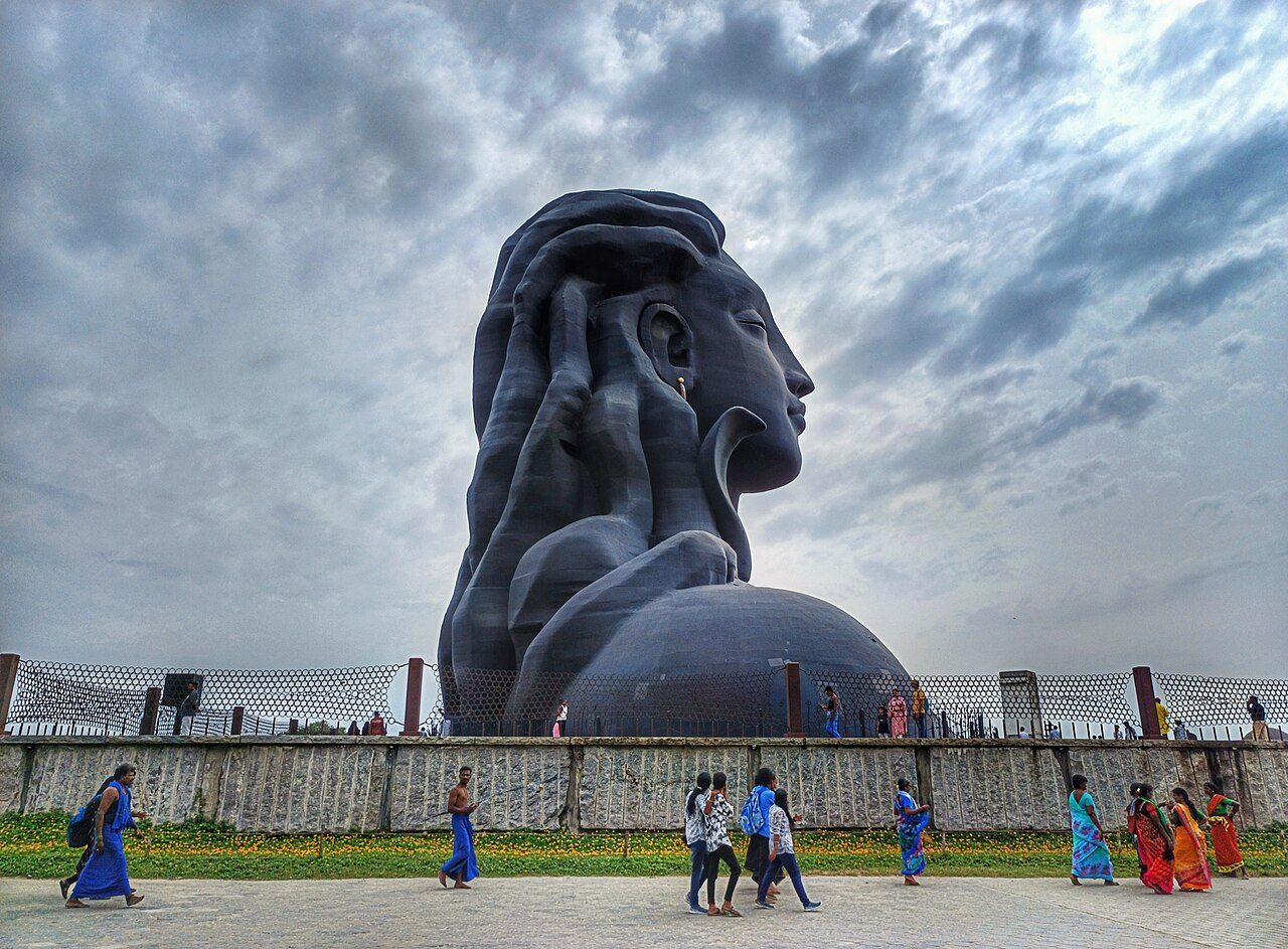
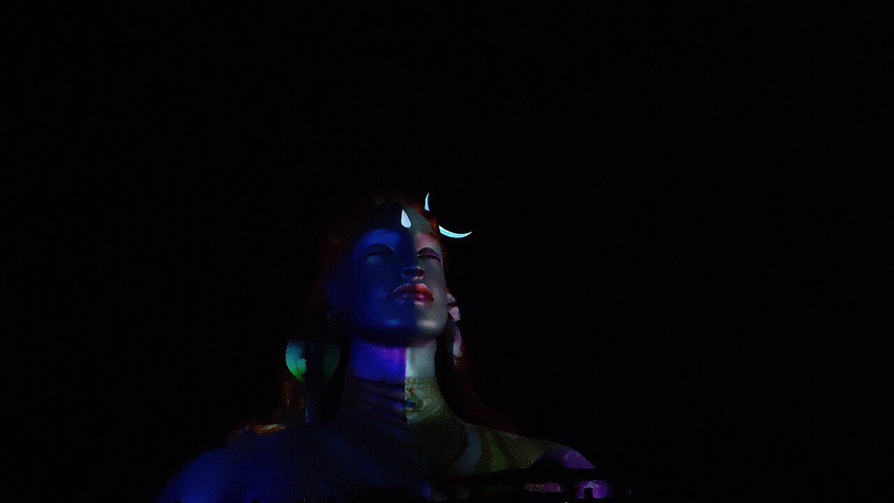
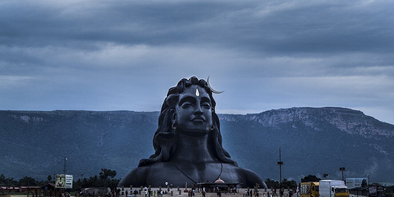
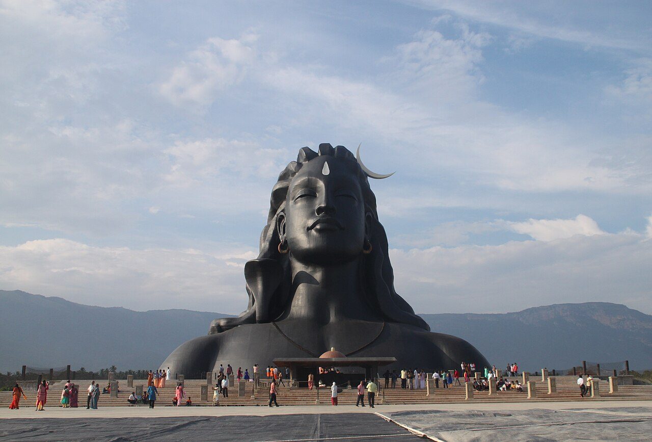
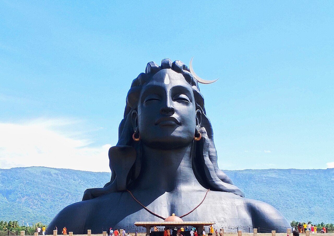
A steel bust of Shiva 34 metres high and weighing around 500 tonnes, unveiled in 2017 at the Isha Yoga Center below the Velliangiri hills, and recognised by Guinness as the largest bust in the world. It was built to mark the figure of Adiyogi, the first yogi, as the source of yoga.
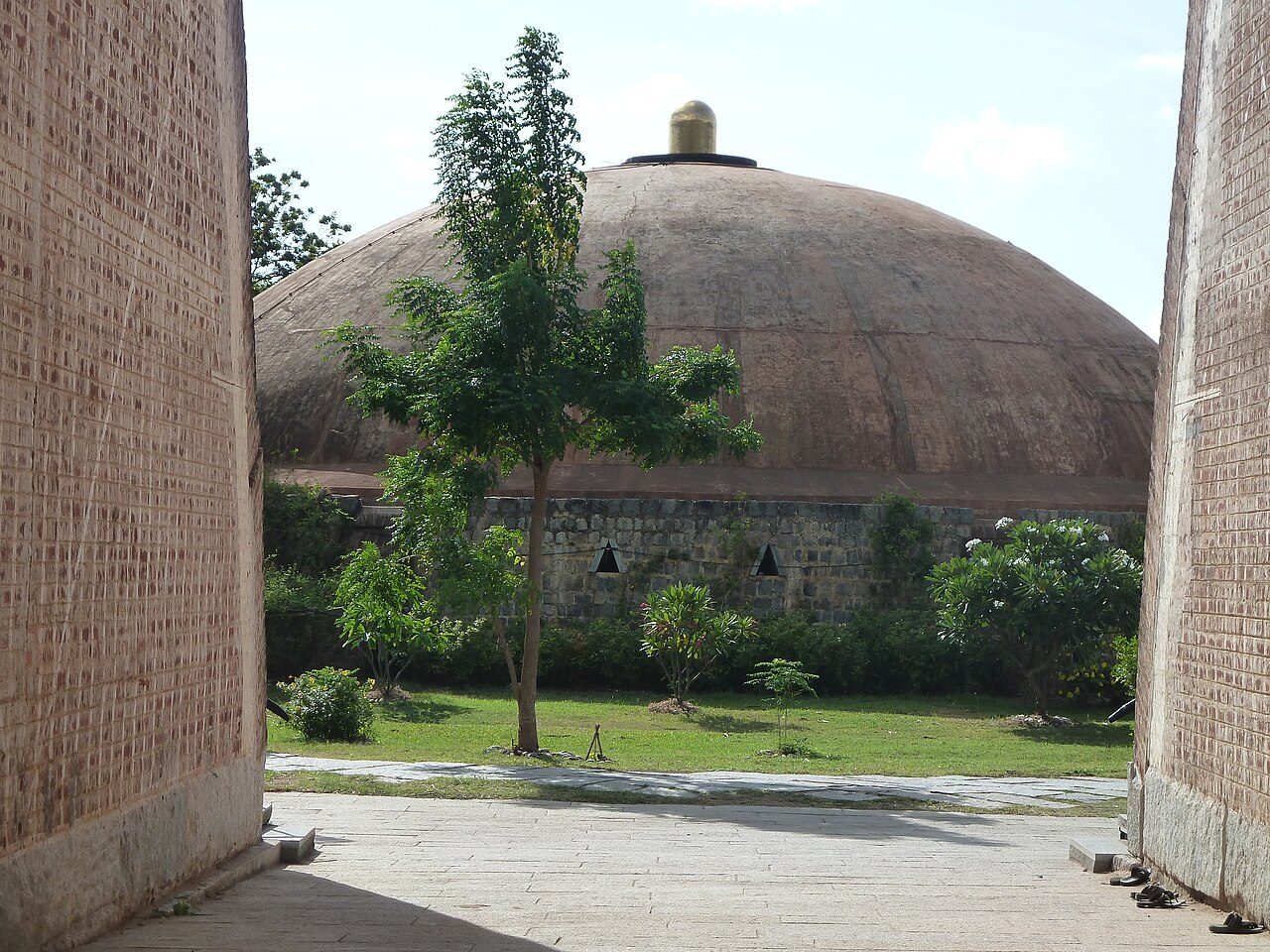
A meditation shrine consecrated in 1999 at the foot of the Velliangiri hills, built as an elliptical brick dome 76 feet across and raised without steel, cement or reinforcement. The linga inside is 13 feet 9 inches high; the space is open to all and holds no rituals or prayers.
Best weather: Nov – Mar
Seasons from 20 years of NASA POWER climate data.
Was this trip blog helpful?
0
0
Ready to follow this route?
Copy all 24 stops into your trip plans in the app.
 WaTrips