Kerala Classic: Fort Kochi, Munnar, Thekkady and the Backwaters in 5 Days
5 DAYS15 placesby WaTrips
Old Kochi streets, Munnar's tea hills, Thekkady's forest, Kumarakom's birds and a slow last day on the Alappuzha backwaters.
If you only have five days for Kerala, this is the route that shows you most of it. Day one is on foot in Fort Kochi and Mattancherry: Chinese fishing nets, the old palace and Jew Town's spice lanes. Then the road climbs into Munnar, where tea estates cover every slope and Eravikulam is home to the Nilgiri tahr. Day three drops south to Thekkady and the Periyar forest, with a sunset at Parunthumpara. Kumarakom on Vembanad Lake is quieter and full of birds, and the trip ends on the Alappuzha backwaters and beach before you head back to Kochi. Expect cool nights in the hills and warm, humid days on the coast, and leave time on the hill roads: they are slow and full of bends.
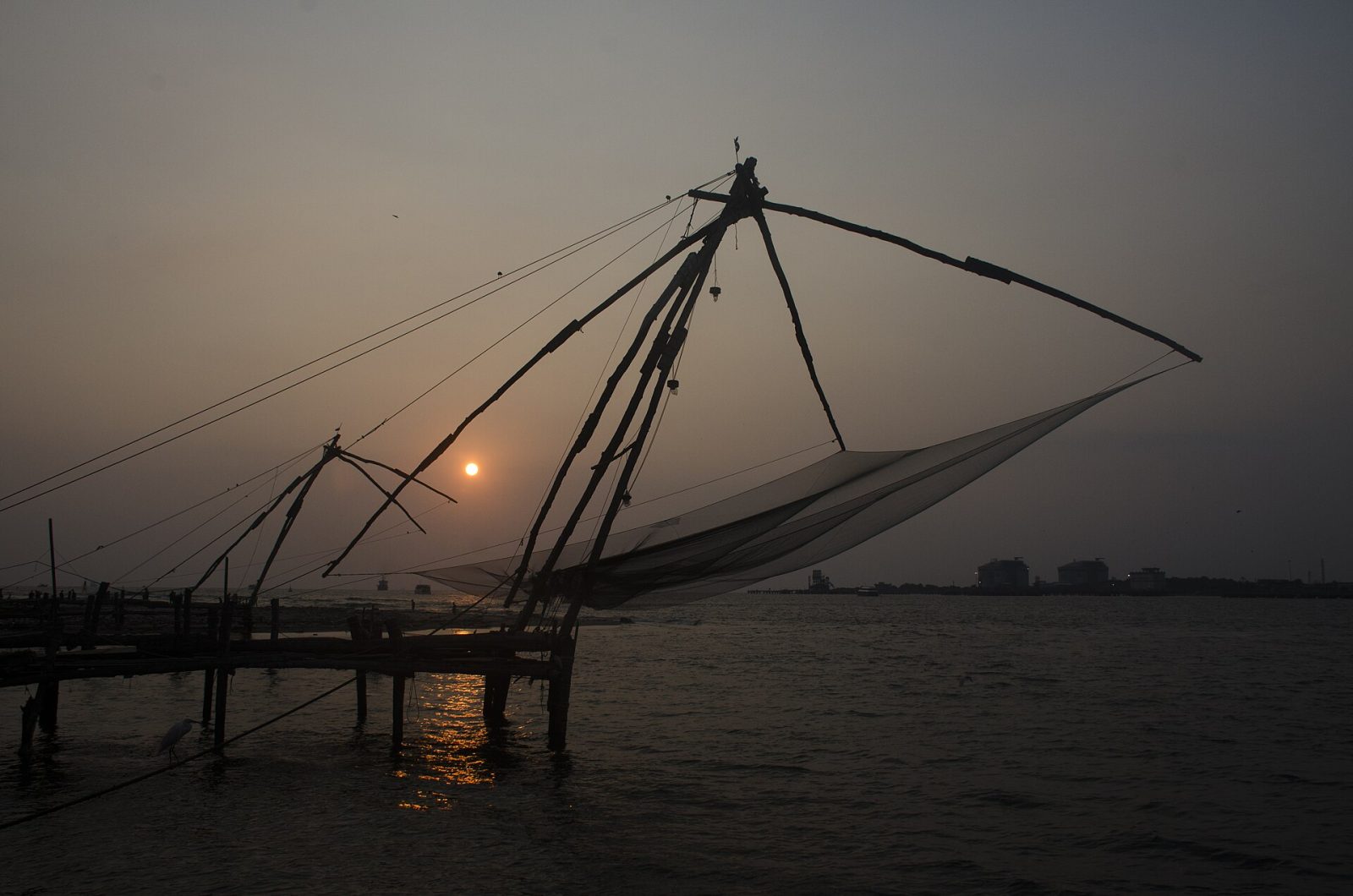
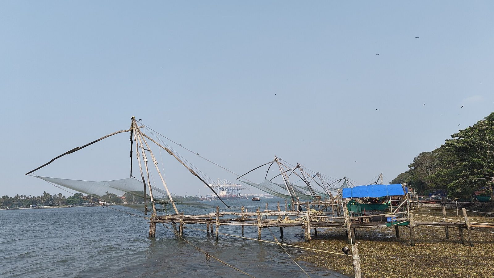
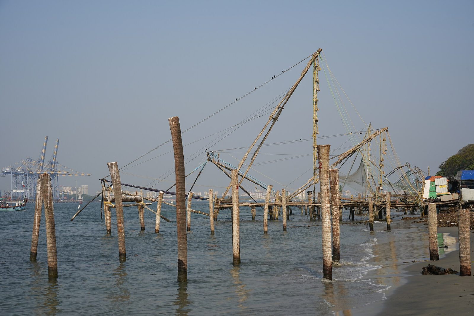
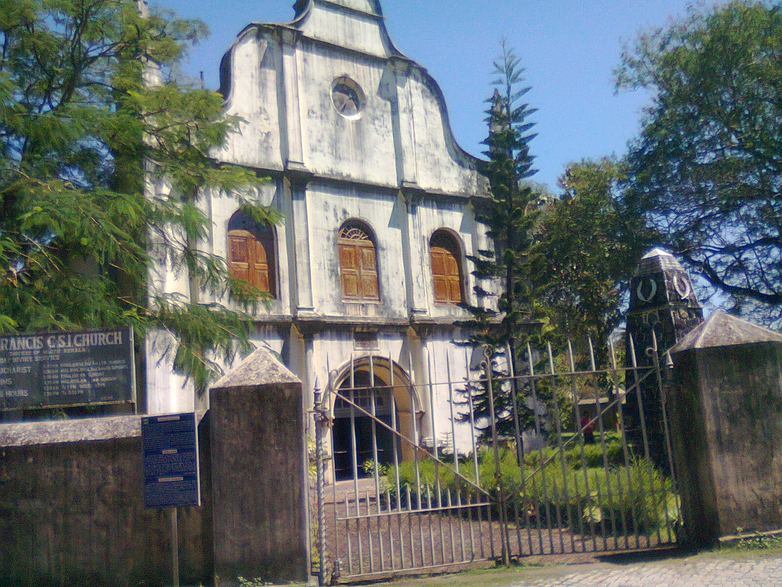
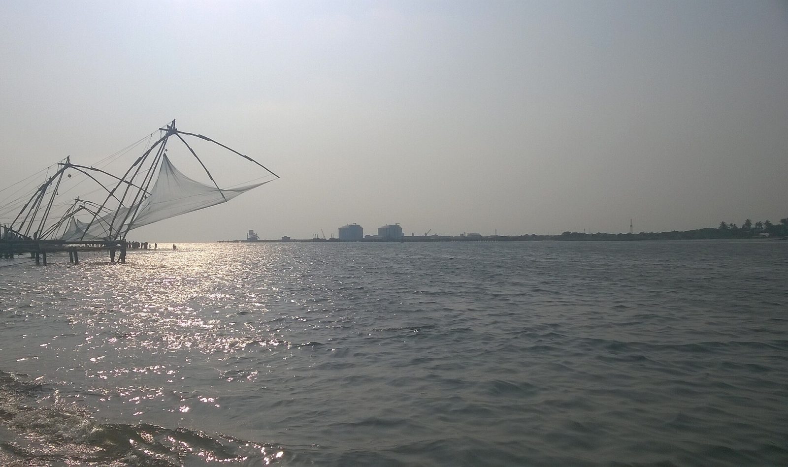
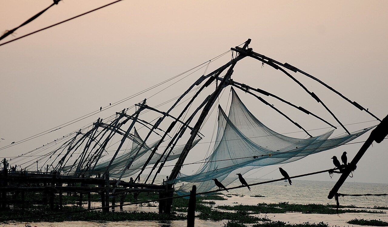
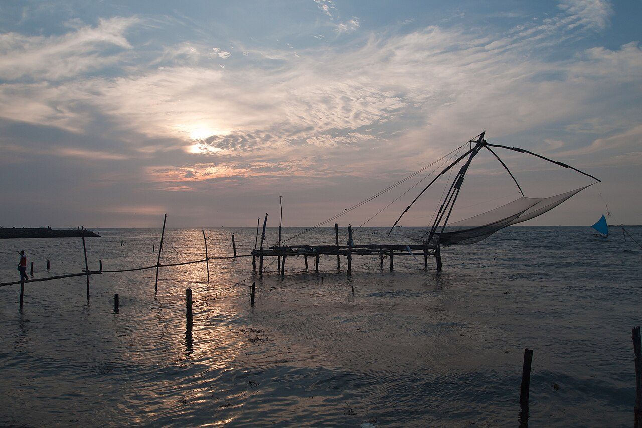
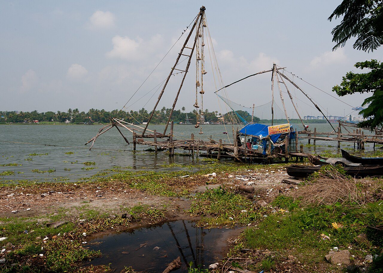
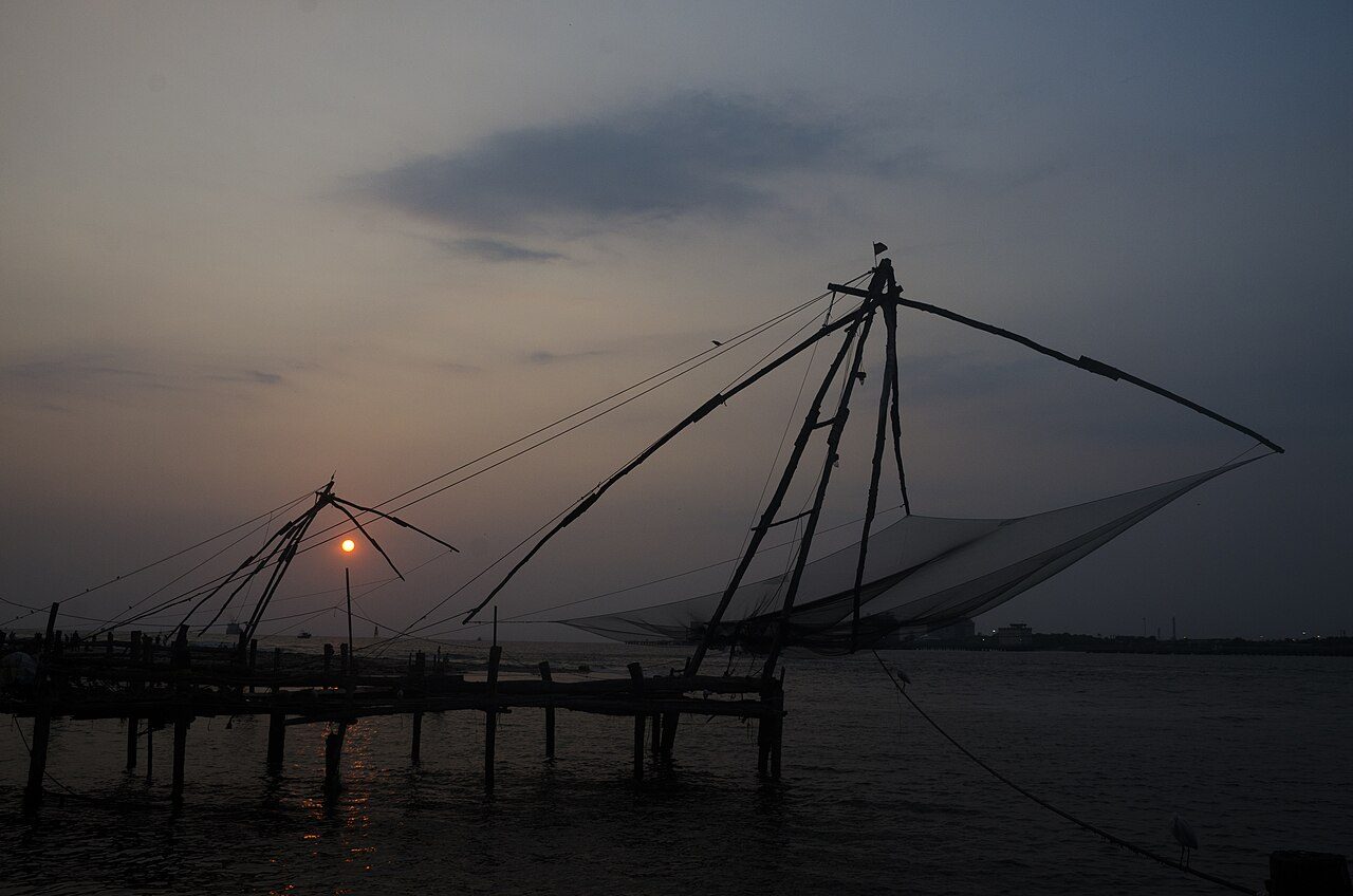
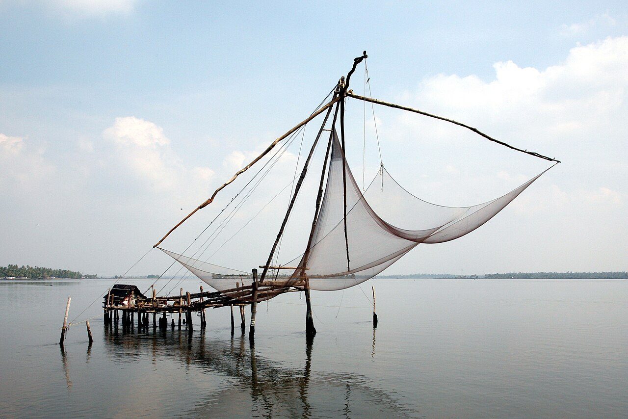
Fort Kochi is the old harbour quarter of Kochi, where Kerala met the rest of the world for more than five hundred years. Portuguese, Dutch and British traders all ruled here in turn, and their churches, warehouses and cemeteries still stand along quiet, tree-lined streets. The row of Chinese fishing nets on the shore, worked by teams of men using counterweights, is the image most visitors carry home. Nearby are St Francis Church, where Vasco da Gama was first buried, the old Jewish quarter of Mattancherry and streets full of cafes, murals and antique shops. Evening is the best time, when the sun drops behind the nets and the fish market comes alive.
The cheena vala, the cantilevered fishing nets strung along the Fort Kochi shore, are the image most people carry away from the town. Each is a teak and bamboo frame about ten metres high, counterweighted with stones and worked by four or five men who walk the frame down to dip the net and then haul it up again. They are usually said to have come from the court of Kublai Khan with Chinese traders in the 14th century, though some historians credit Portuguese settlers from Macau. The nets work best at high tide and the catch is sold on the spot at the stalls behind them. Sunset, with the frames silhouetted against the channel and the ships moving out, is the hour everyone comes for.
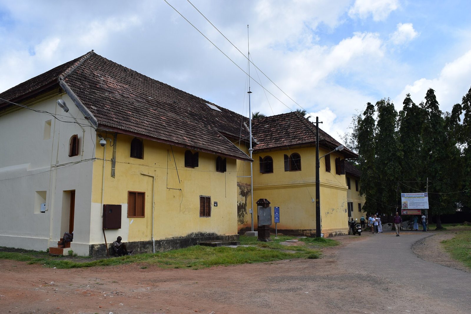
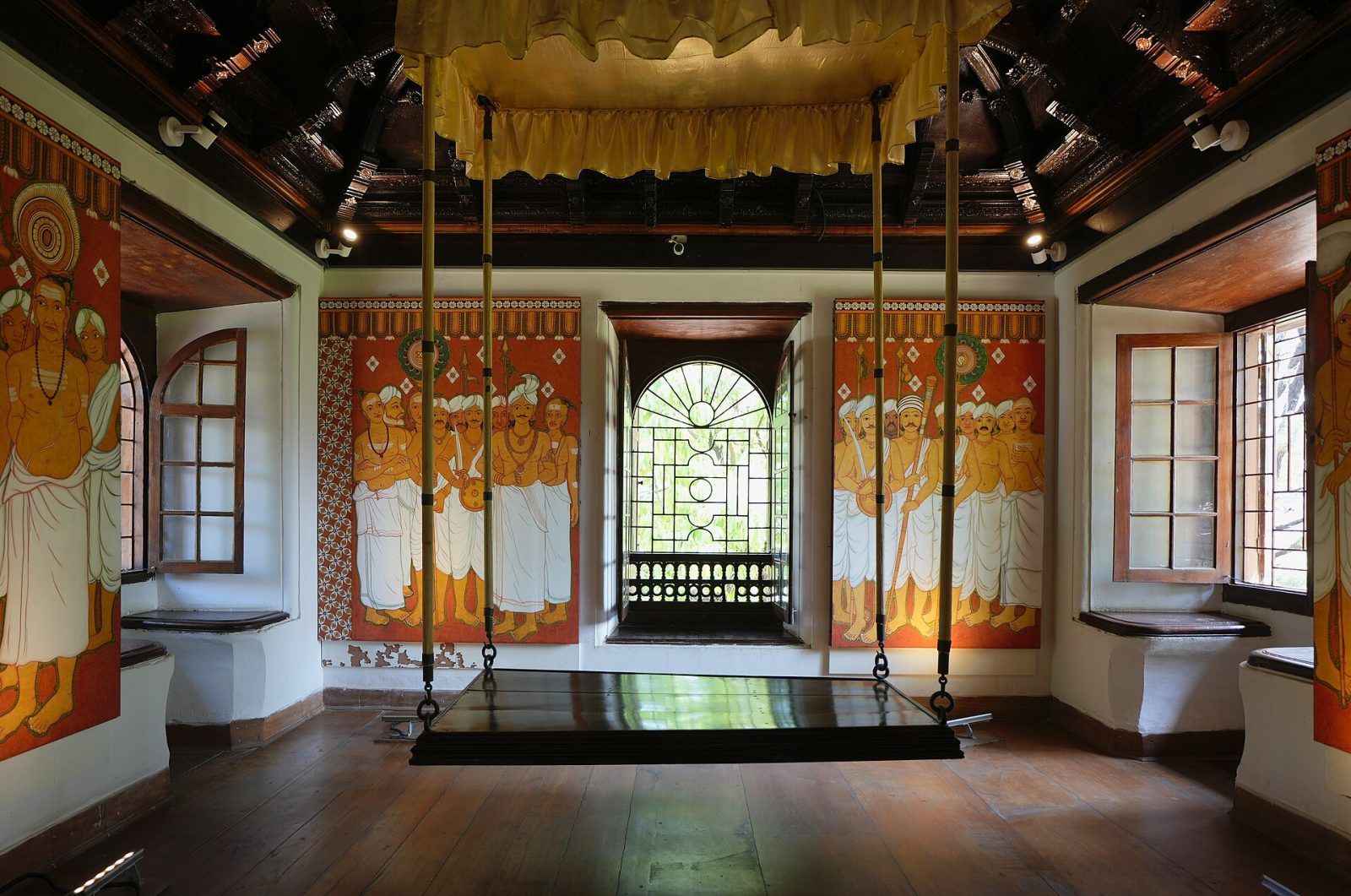
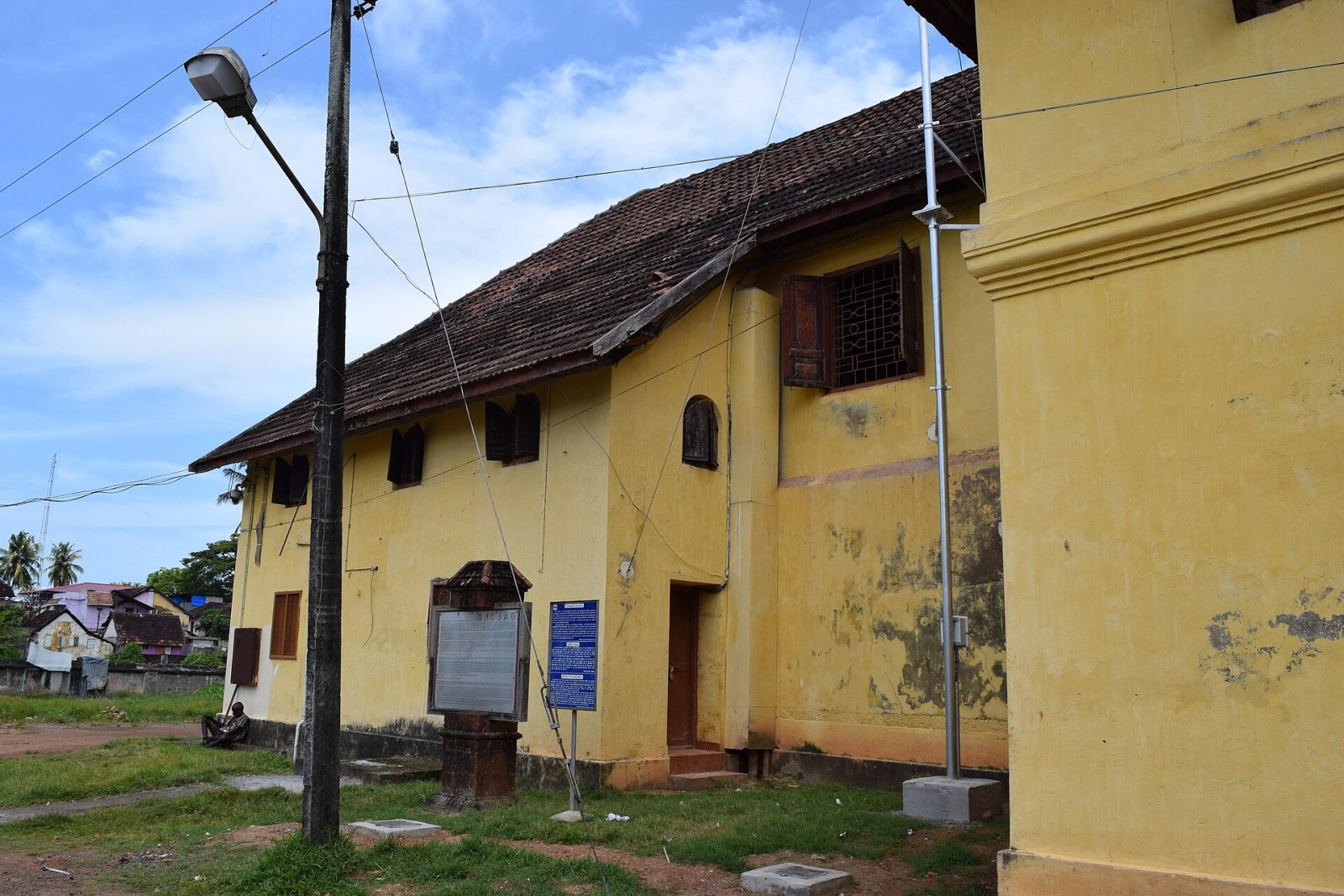
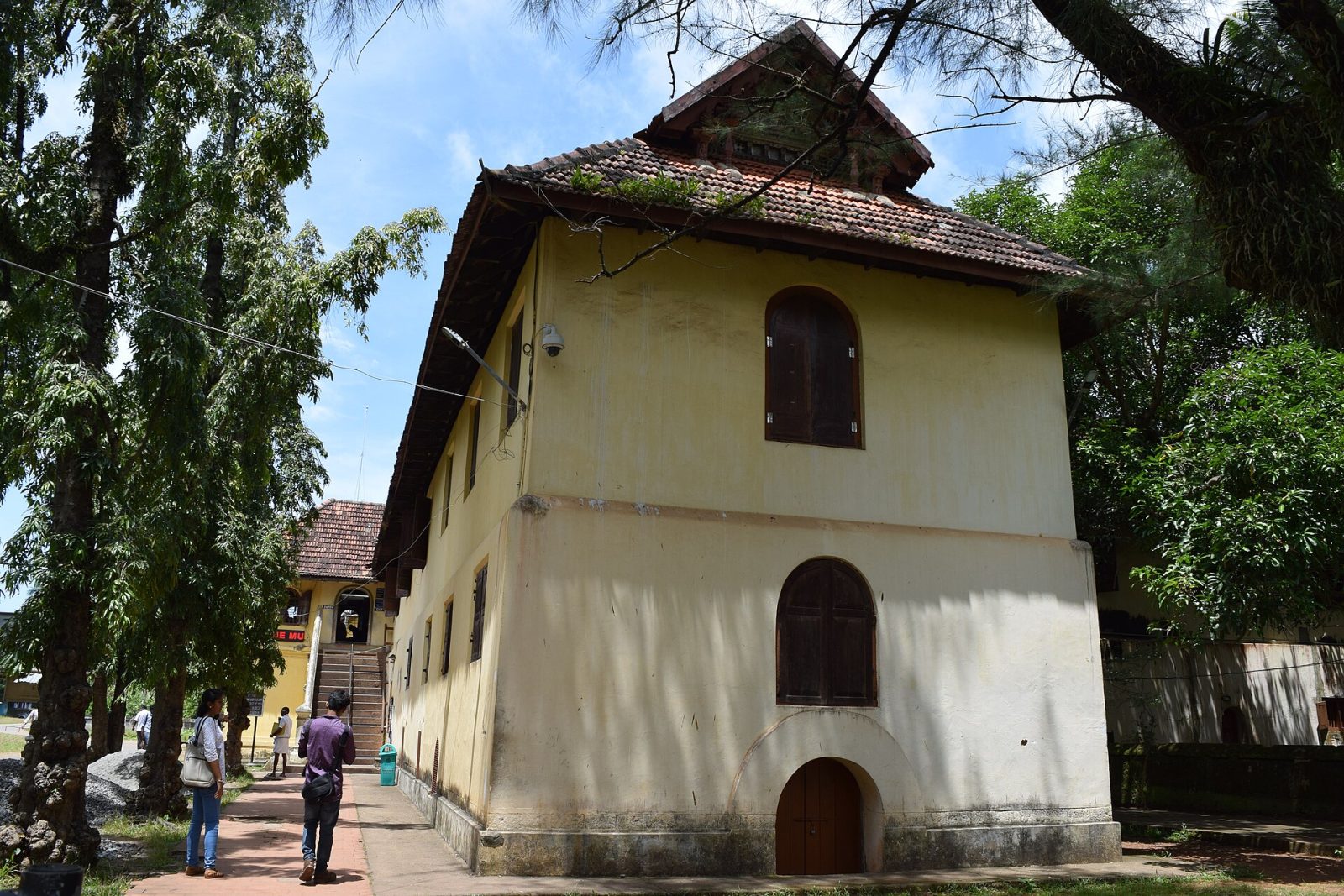
Mattancherry Palace, usually called the Dutch Palace, was built by the Portuguese around 1555 as a gift to the Raja of Kochi, and later repaired and extended by the Dutch. From outside it is a plain building in Kerala style around a courtyard with a temple to the goddess Pazhayannur Bhagavati. Inside are its treasures: room after room of murals painted in vegetable colours telling stories from the Ramayana and Mahabharata, some of the finest temple art in India. The coronation hall holds the palanquins, weapons and portraits of the Kochi rajas. It stands in Jew Town beside the synagogue and the spice markets, and photography inside is not allowed.
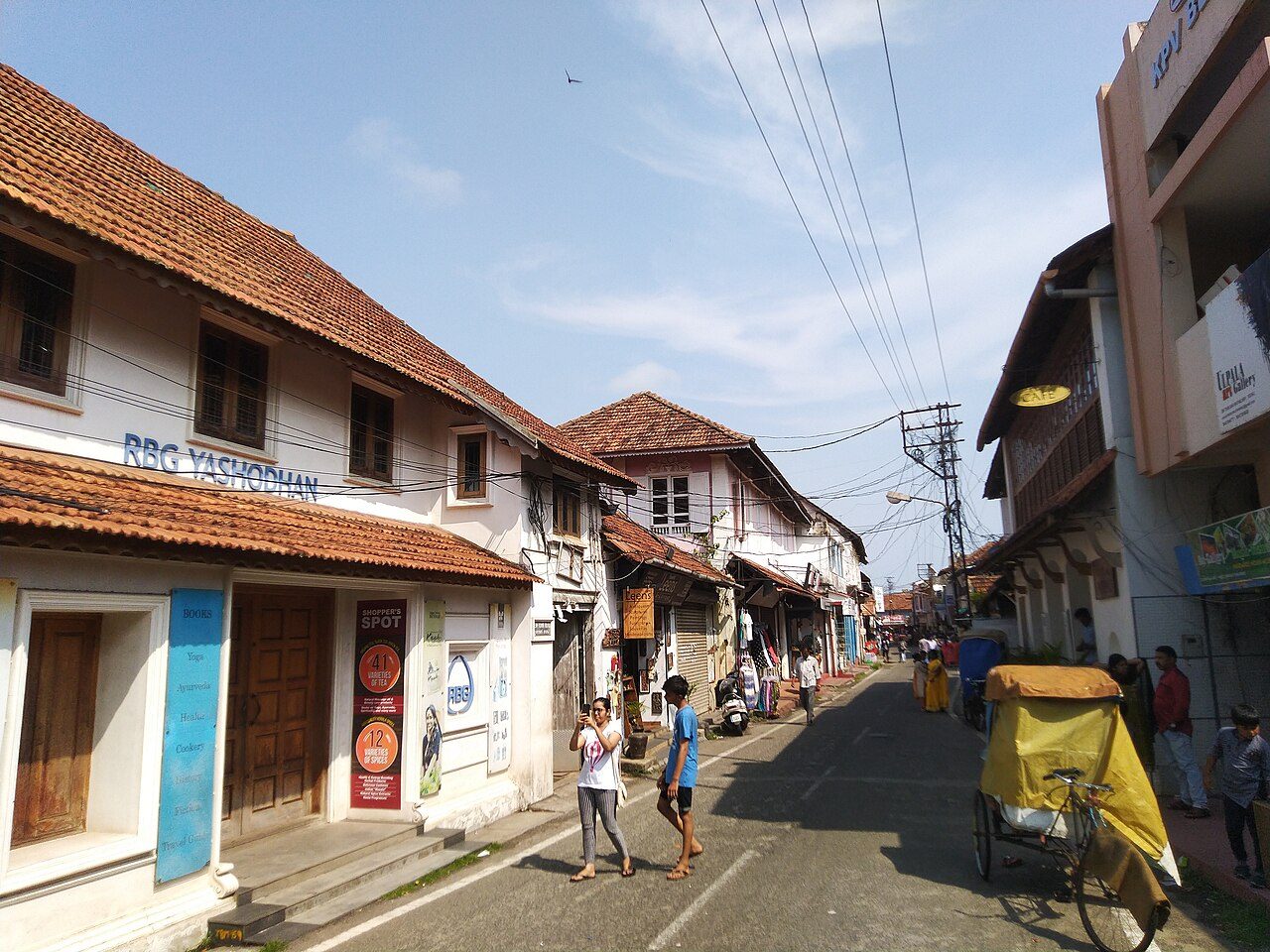
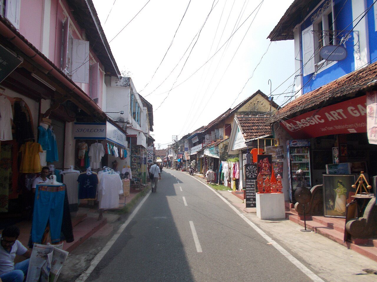
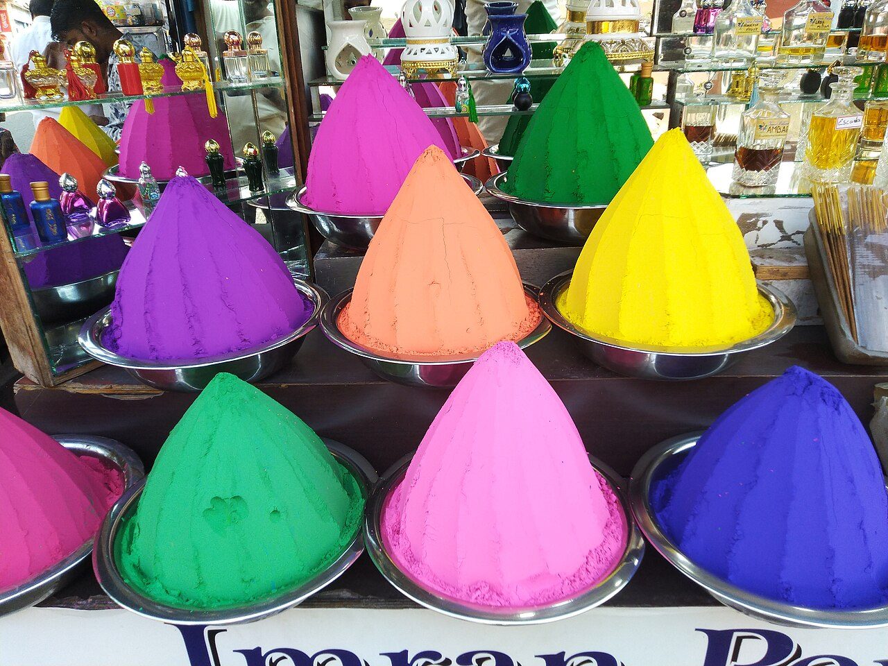
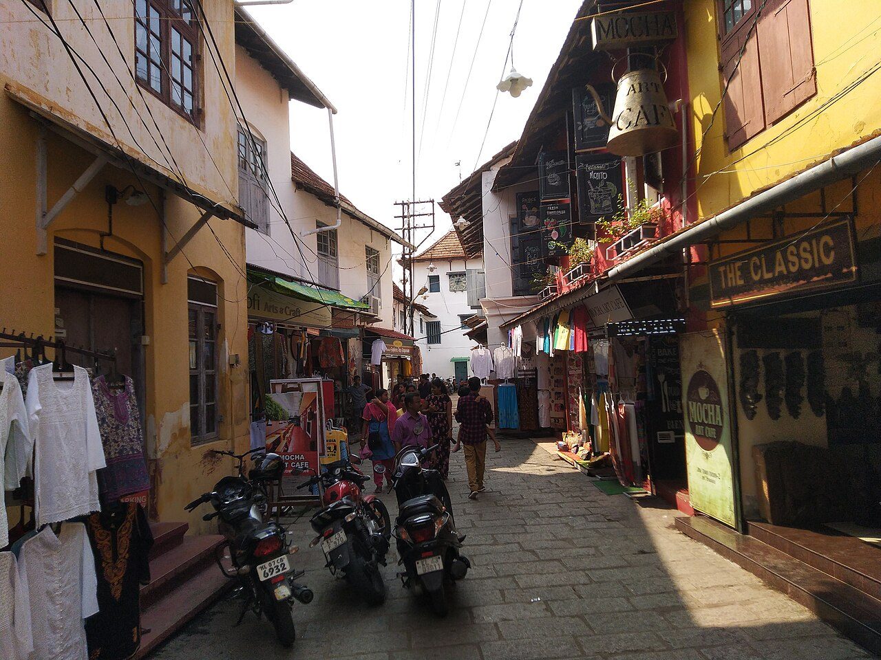
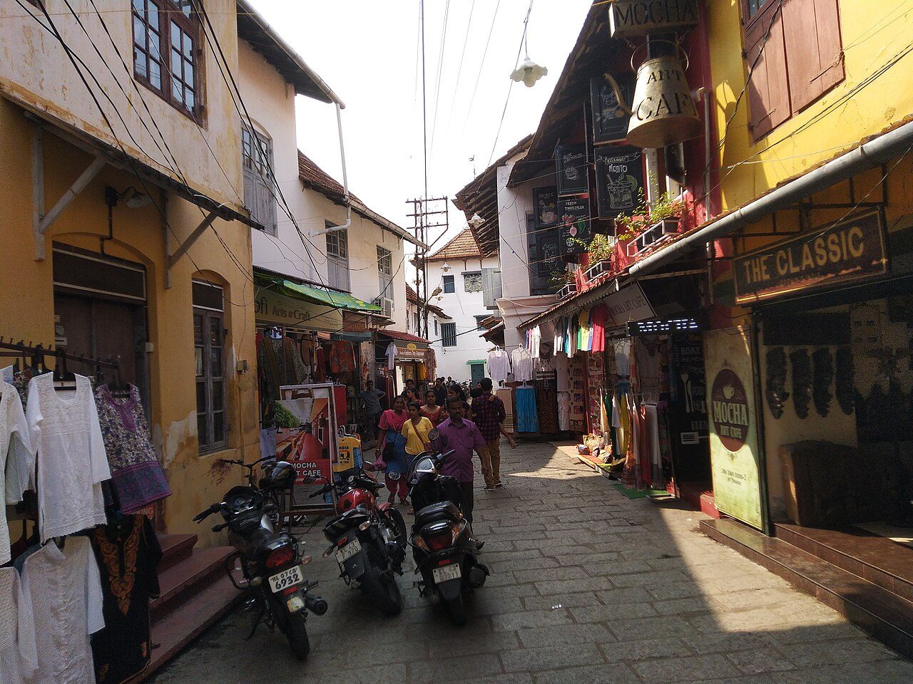
The lane running from the Mattancherry Palace to the Paradesi Synagogue is still called Jew Town, and it is the heart of what was one of the oldest Jewish communities in the world, settled in Kerala for perhaps two thousand years. The old warehouses along it once handled pepper, ginger and cardamom for export, and several still do; the smell of spice hangs in the street. Today most of the buildings are antique shops, tea rooms and dealers in Kerala furniture, brassware and old prints. Only a handful of the Jewish families remain, most having emigrated to Israel after 1948. The street is best walked slowly in the late afternoon.
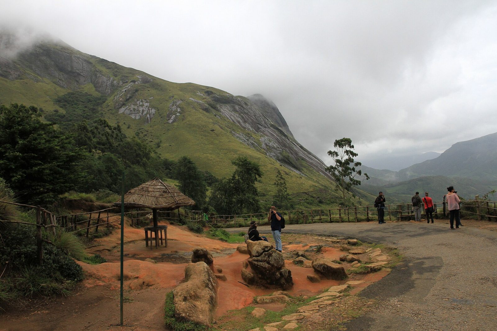
Eravikulam, above Munnar in Idukki district, was Kerala's first national park and protects the largest surviving population of the Nilgiri tahr, a wild mountain goat found nowhere else. The park's rolling grasslands and sheltered shola forests sit at over 2,000 metres, and Anamudi, the highest peak in south India at 2,695 metres, rises inside it. Visitors are taken by bus to the Rajamala area, from where a short walking trail leads among tahr that are used to people and often graze close by. Every twelve years the hillsides turn blue when the neelakurinji flowers bloom together. The park closes for the calving season, roughly February to March, so check before you go.
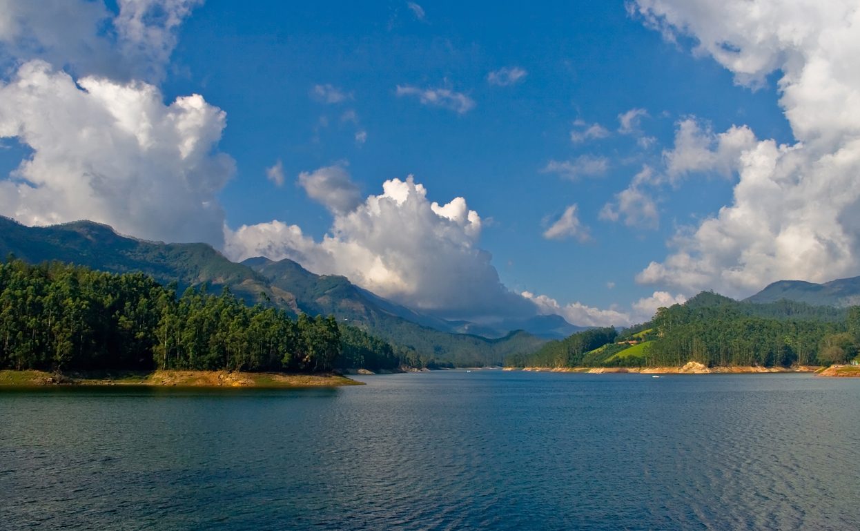
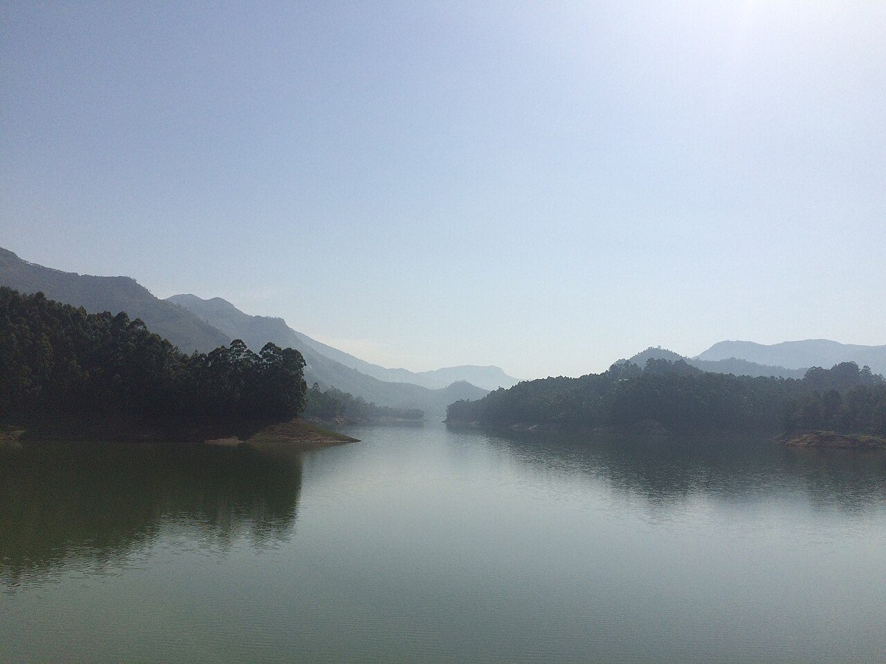
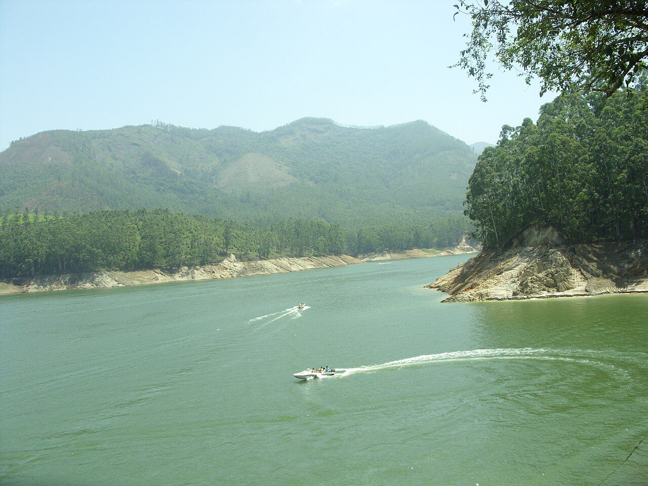
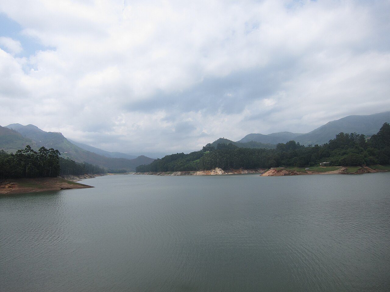
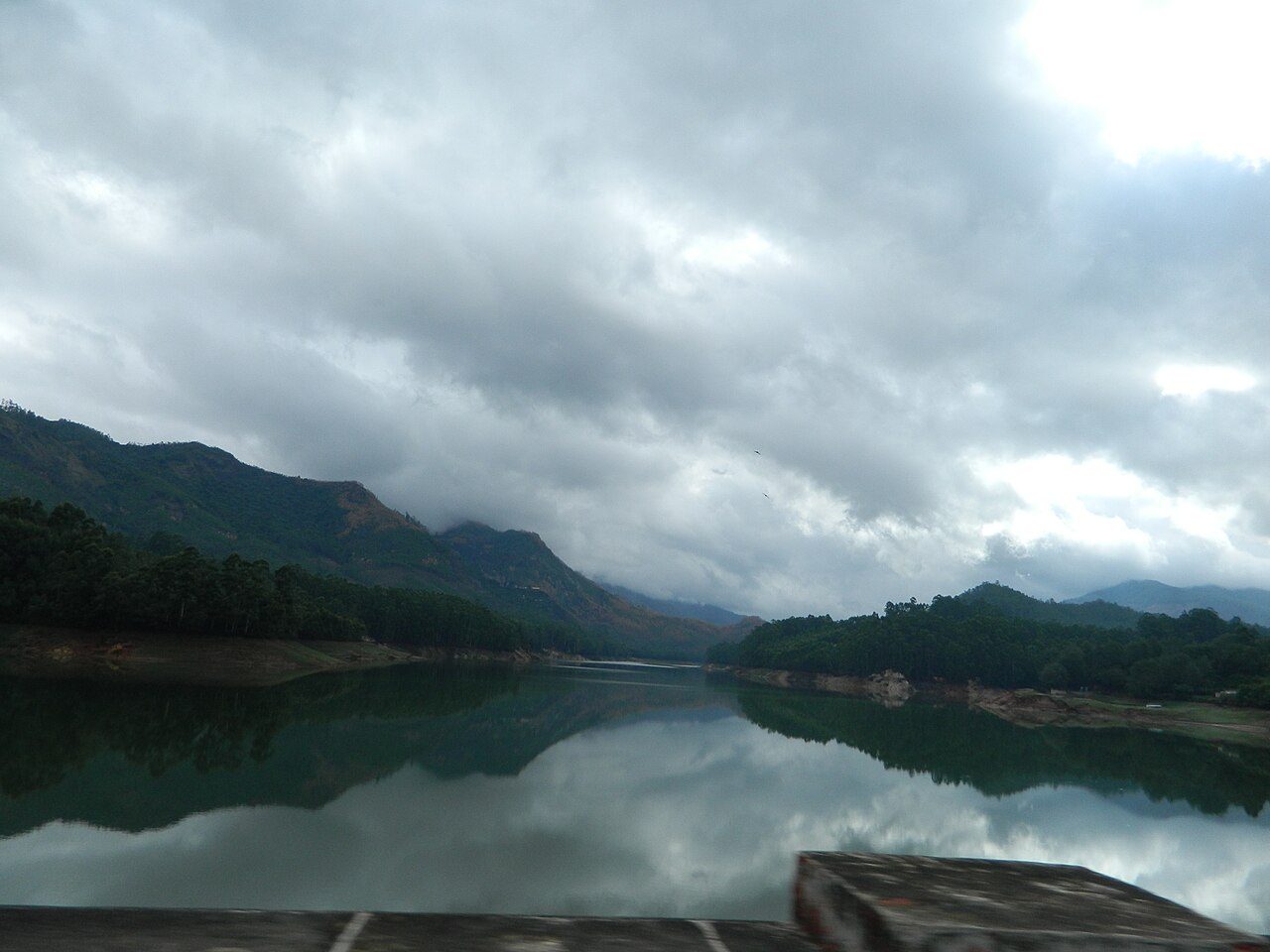
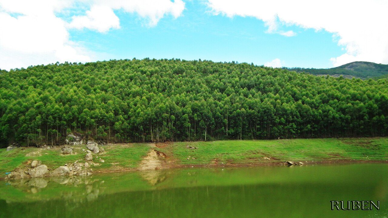
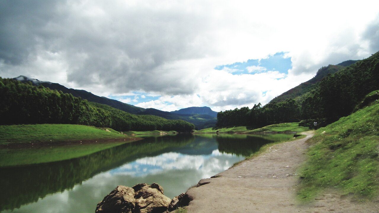
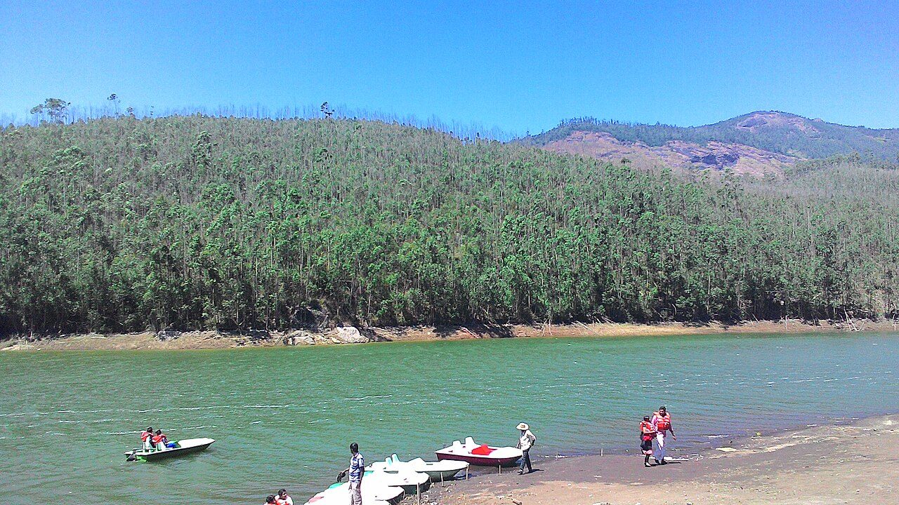
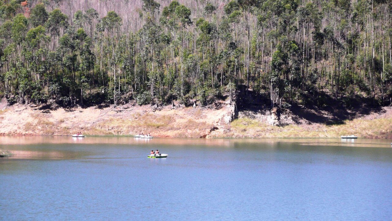
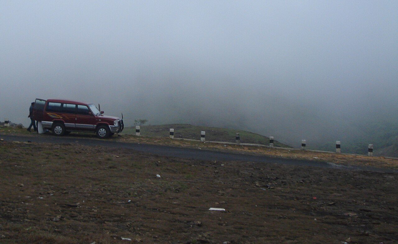
Mattupetty, about 13 km from Munnar at around 1,700 metres, is a concrete gravity dam built in the 1940s to store water for the Pallivasal hydroelectric project. The reservoir sits among tea-covered hills and sholas, and pedal boats and speedboats run on it through the day. Beside the dam is the Indo-Swiss livestock project, a government cattle farm where high-yielding cross-bred cows are raised and visitors can see the dairy at set hours. The stretch of road between Munnar and Mattupetty, past Photo Point, is one of the most photographed in Kerala. Early morning here is often misty and cold enough to need a jacket even in summer.
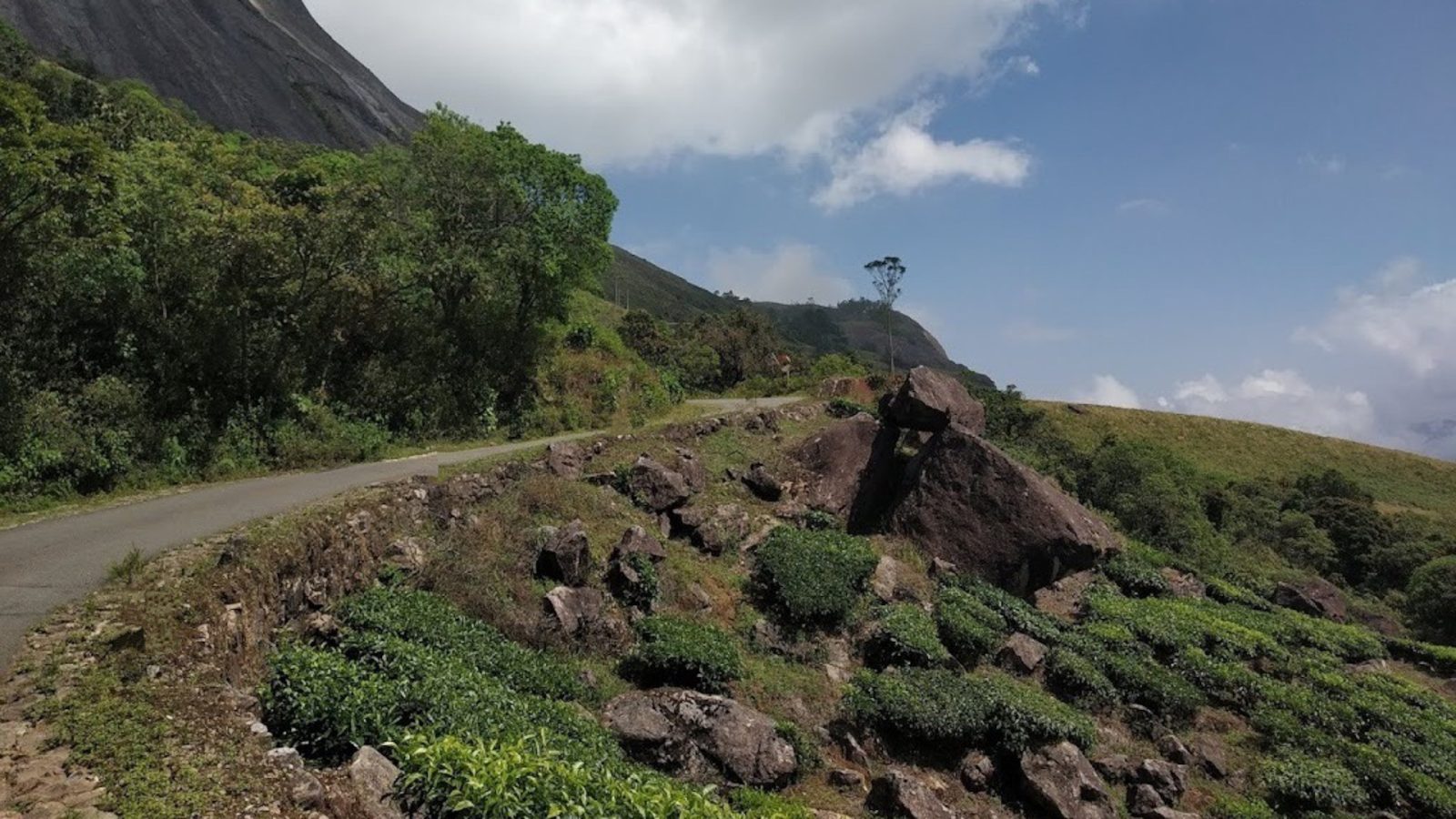
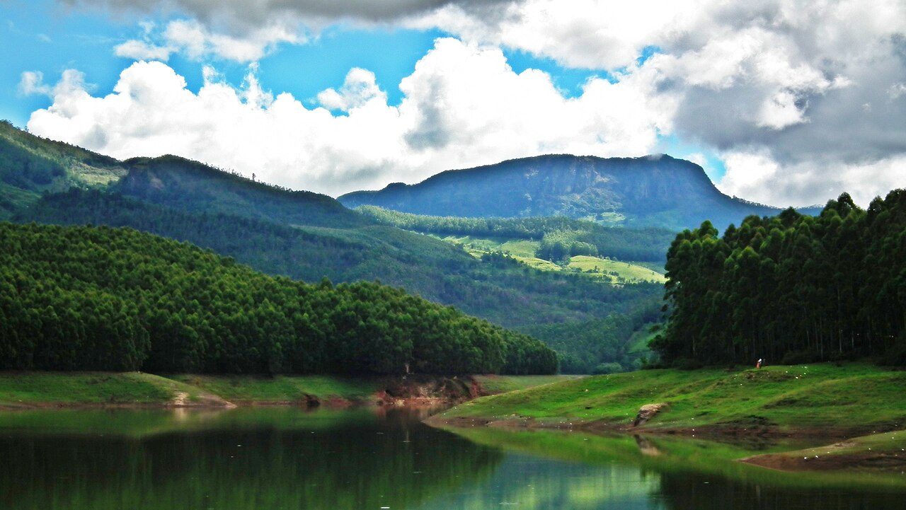
Echo Point is a curve in the road between Mattupetty and Top Station, about 15 km from Munnar, where the hills across the lake throw back a clear echo when you call across the water. It sits at around 600 metres above Munnar in the middle of the Kannan Devan hills, with tea slopes running down to the waterline. Boating is available on the lake and small stalls sell tea, corn and carrot from the hill farms. It is on the route to Top Station, so most visitors stop here on the way. The Neelakurinji, which flowers once in twelve years, covers these slopes when it blooms.
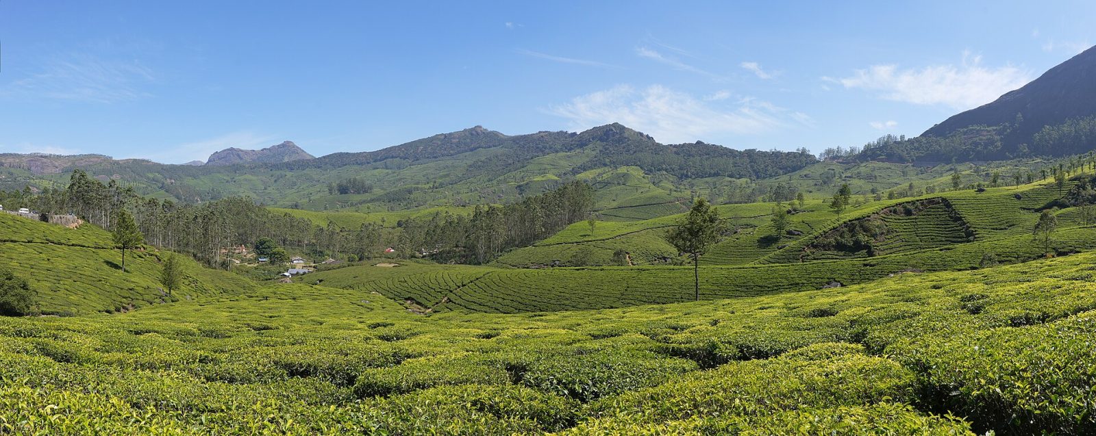
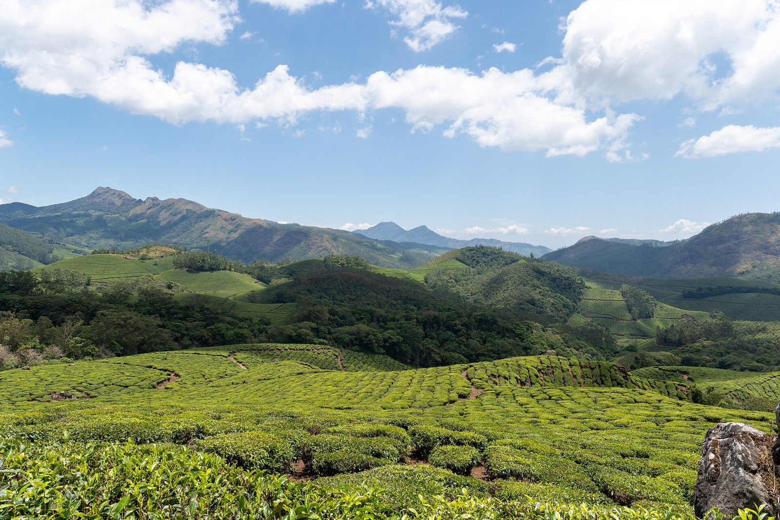
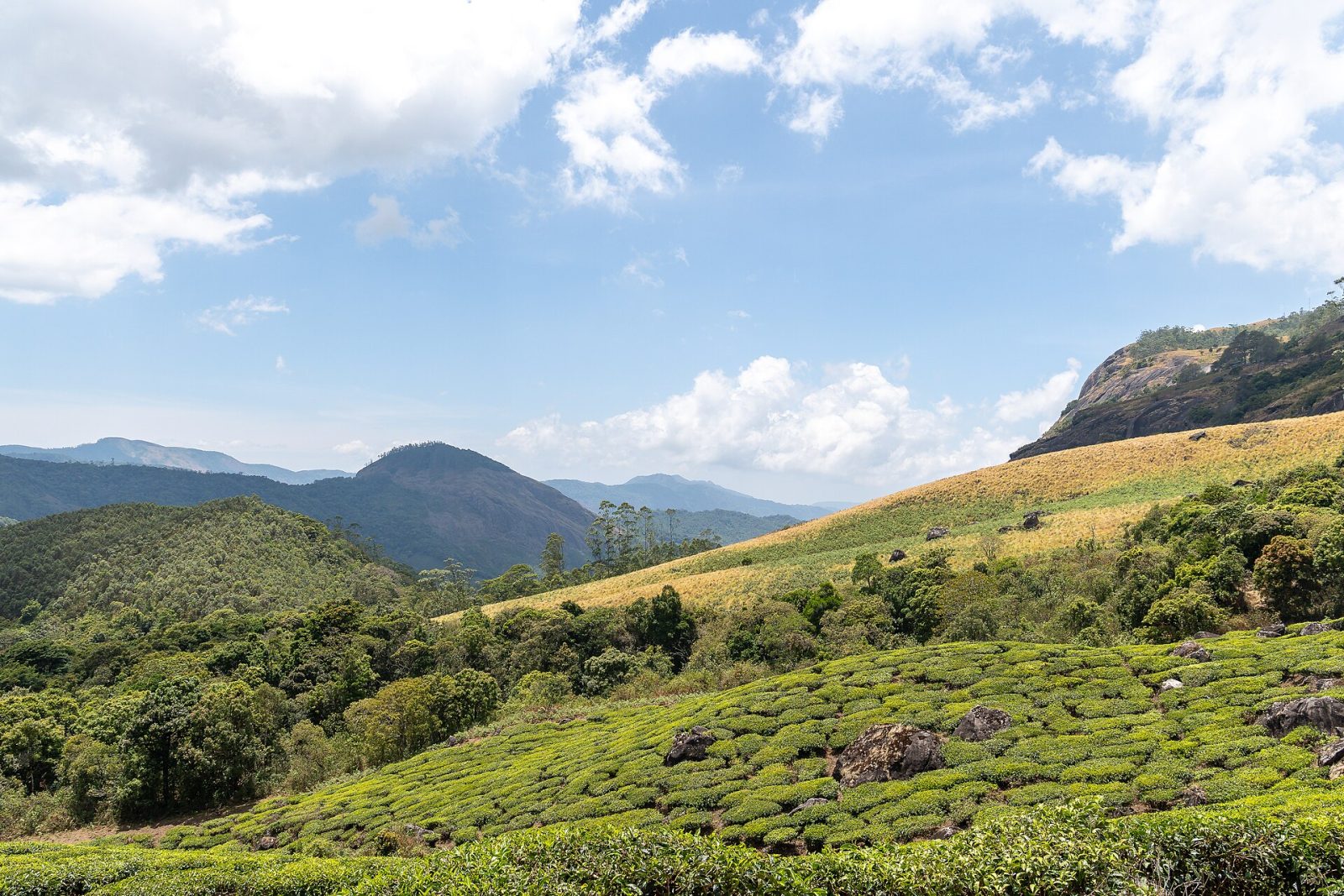
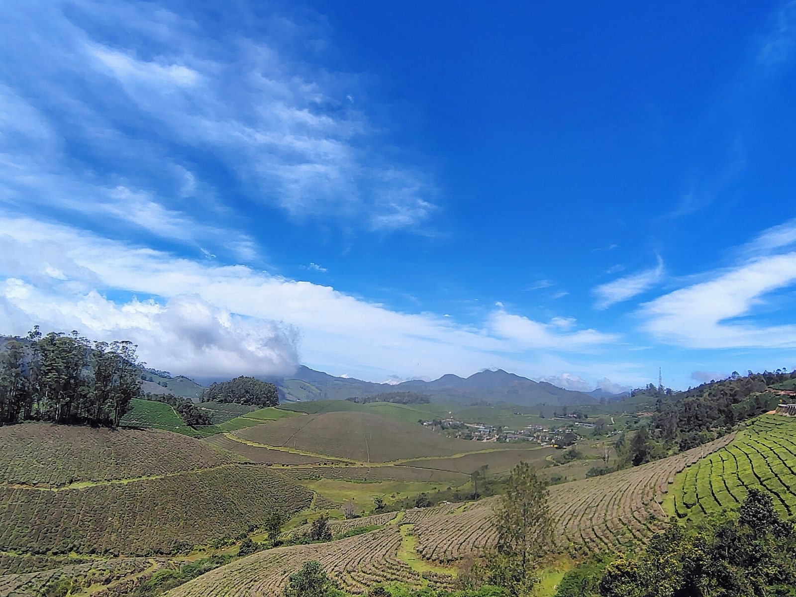
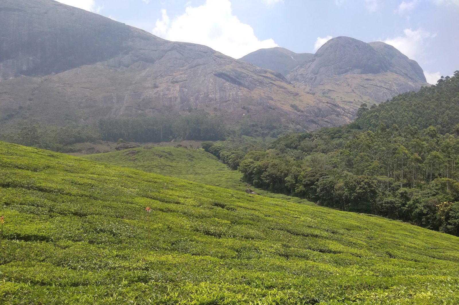
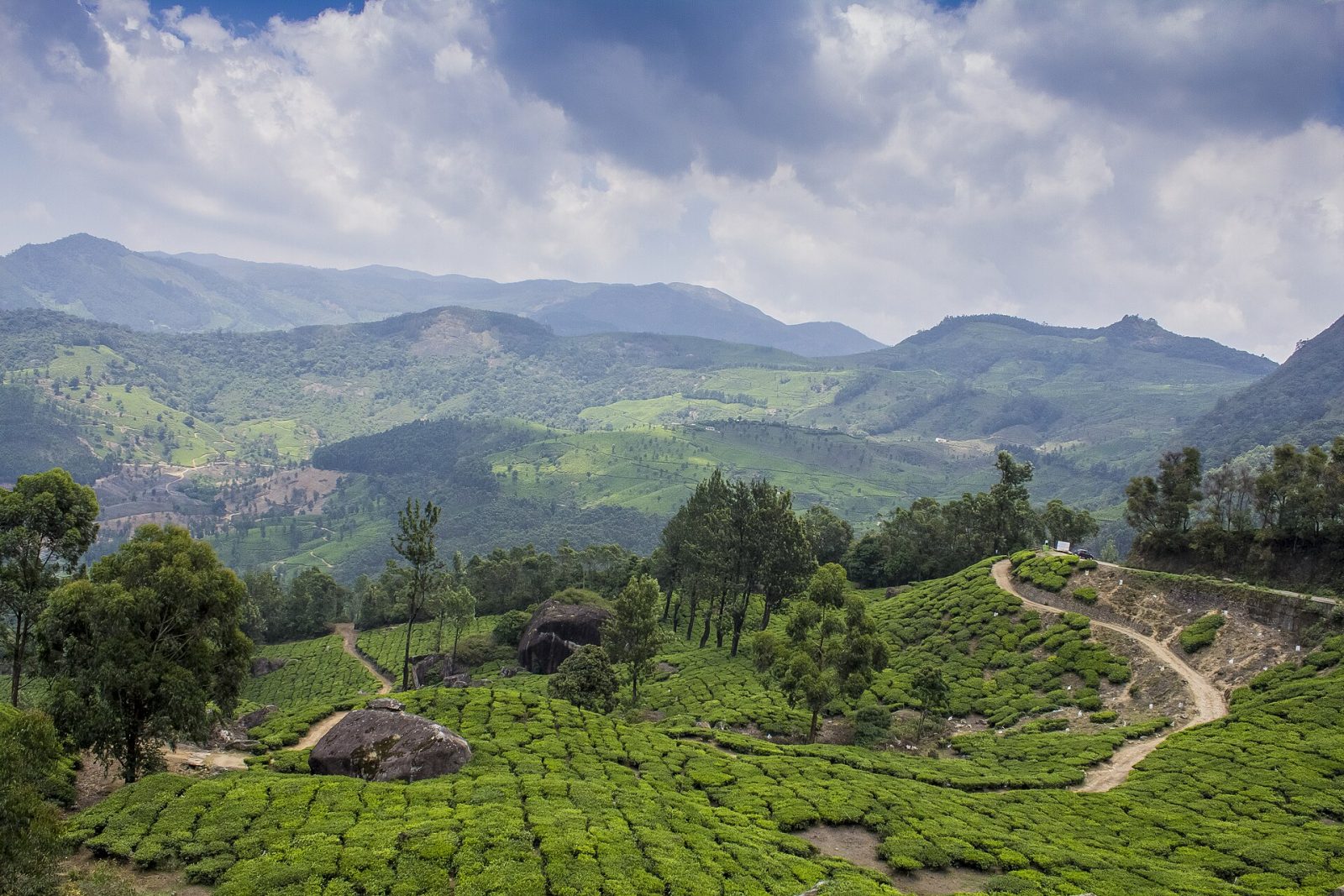
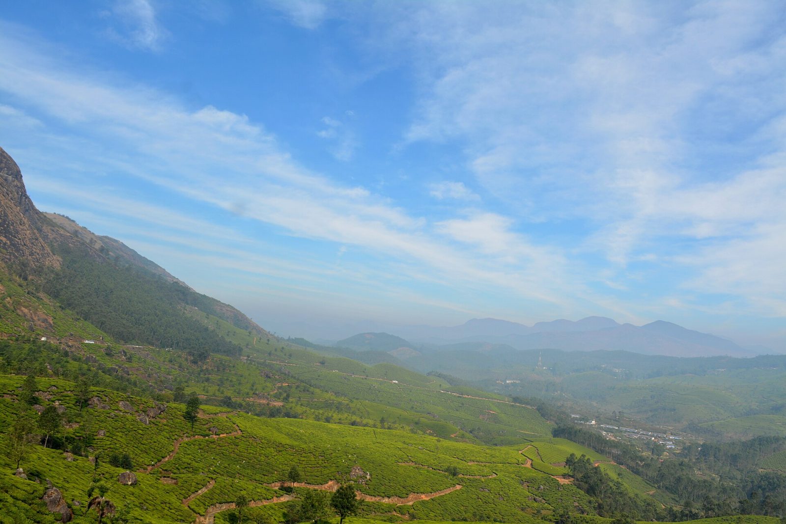
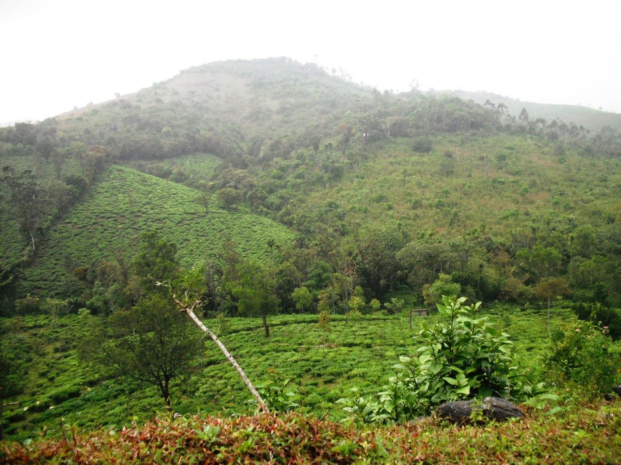
The tea estates that cover the hills around Munnar belong to Kannan Devan Hills Plantations, the company that grew out of the British planting concerns of the 1870s and 1880s, ran as Tata Tea for much of the 20th century, and since 2005 has been owned largely by its own workers. Its estates — Nallathanni, Lockhart, Gundumalai, Chundavurrai and others — run in terraces from the valley floor at about 1,500 metres up to the ridge lines, and they are the reason Munnar exists. Driving or walking through them, past plucking crews and the old planters' bungalows, is the main thing visitors come here for, and the Tata Tea Museum on the Nallathanni estate explains how the leaf becomes the cup. The gardens frame almost every viewpoint in the district, from Pothamedu above the town to the roads out towards Mattupetty and Top Station. The air stays cool all year and the clearest months are September to March.
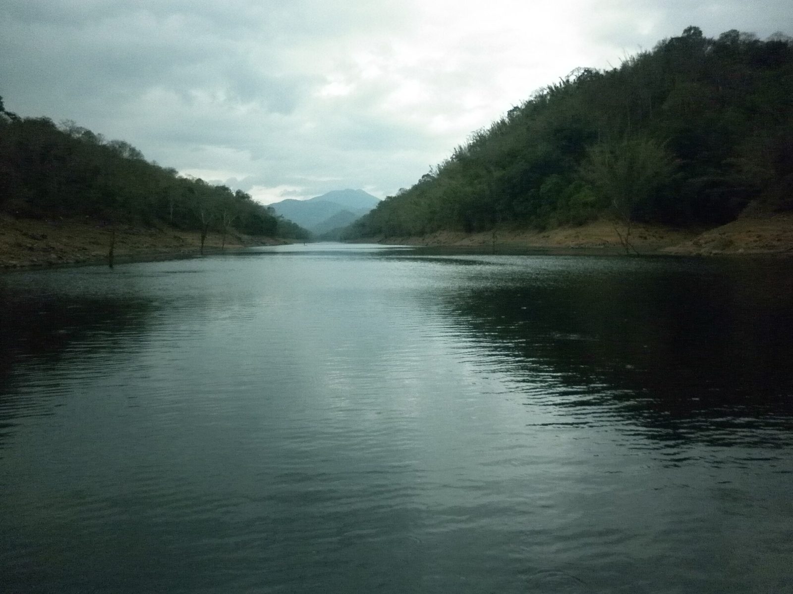
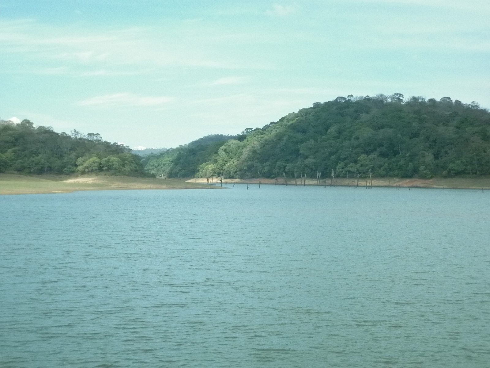
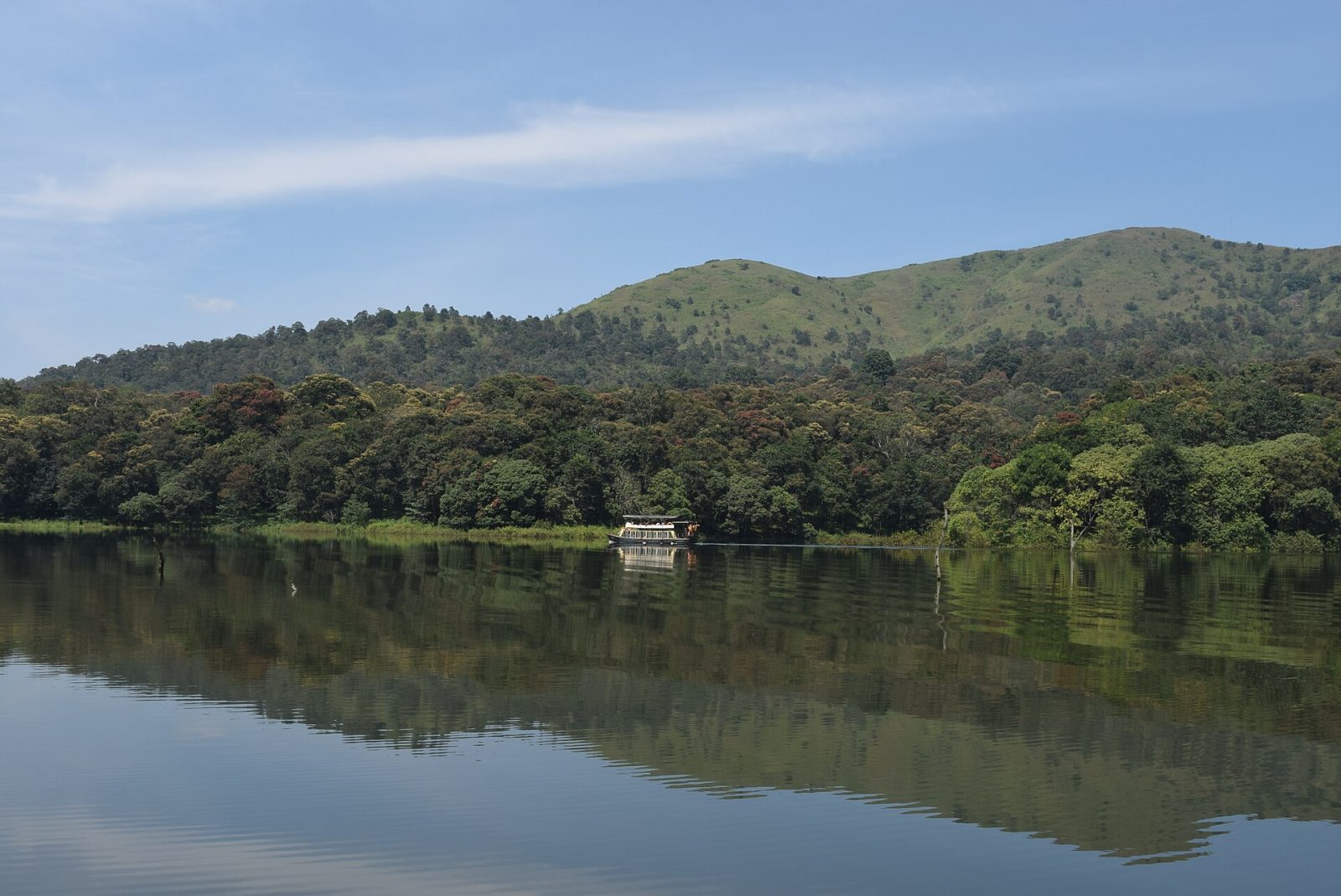
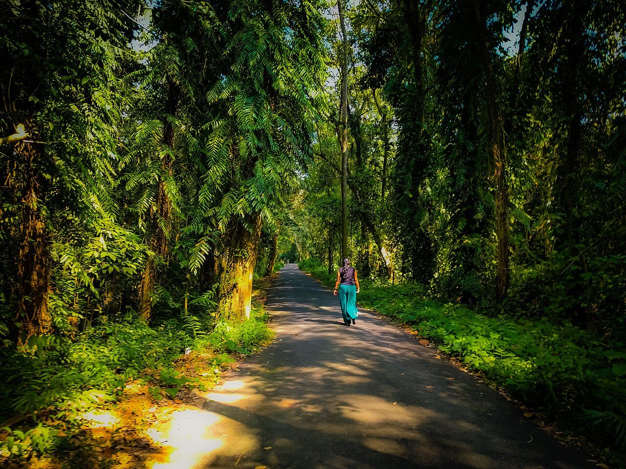
Thekkady is the gateway town to the Periyar Tiger Reserve, one of India's oldest protected forests, spread over the hills of Idukki district. At its centre is a lake created in 1895 when the Mullaperiyar dam was built, and the dead tree trunks still standing in the water give it a strange, quiet beauty. Boat cruises on the lake are the usual way to see elephants, sambar, gaur and wild boar coming down to drink; guided walks, bamboo rafting and night patrols with former poachers turned guides go deeper into the forest. Tigers live here but are rarely seen. The nearby town of Kumily is full of spice gardens and cardamom shops, and the cool season runs from October to March.
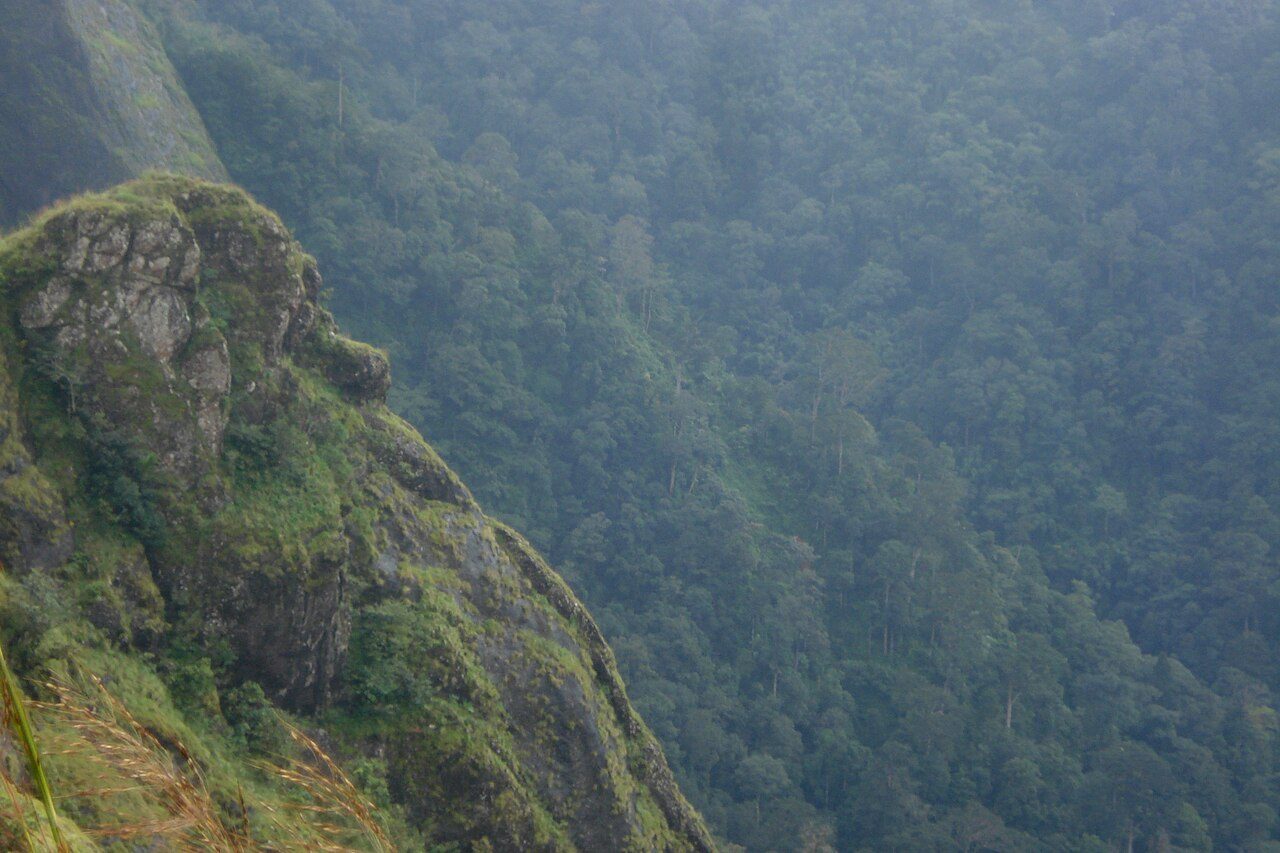
Parunthumpara, also called Eagle Rock, is a viewpoint near Peermade where a long shelf of rock ends in a sheer drop over the valley, and eagles ride the updraught along it. It looks out over tea and cardamom country towards the Kottayam plains, and the mist rolls in and clears through the morning. There is very little development here beyond a track and a small parking spot, which keeps it quiet. Sunrise and late afternoon are the best times. It is about 10 km from Peermade on the road to Vagamon.
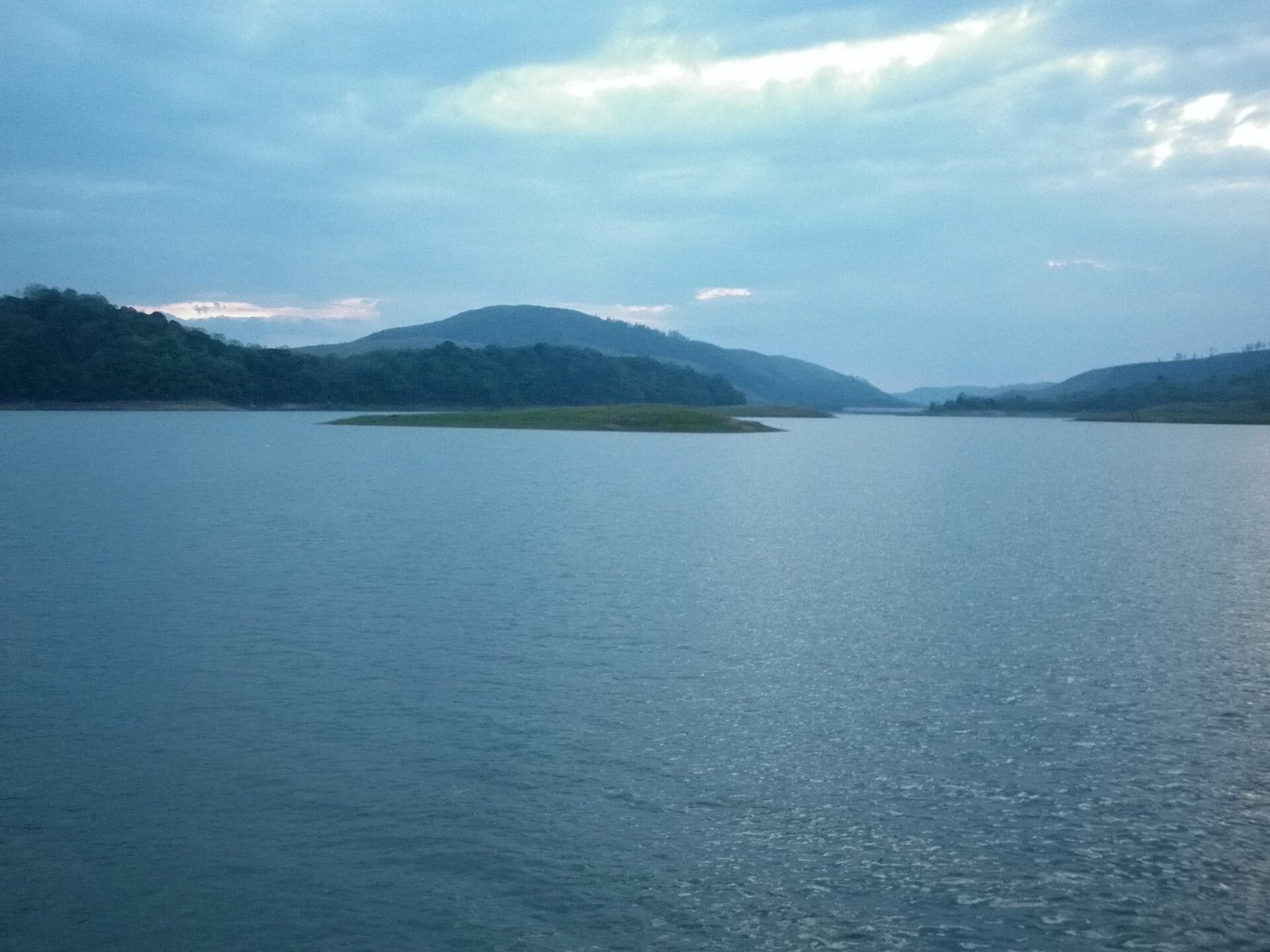
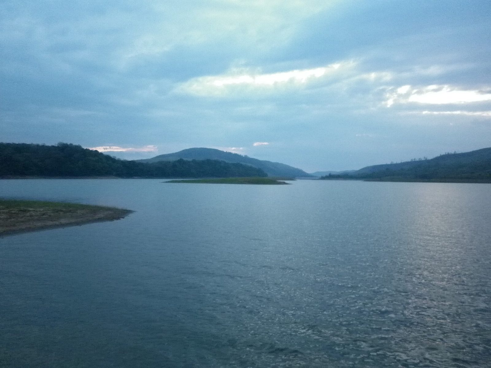
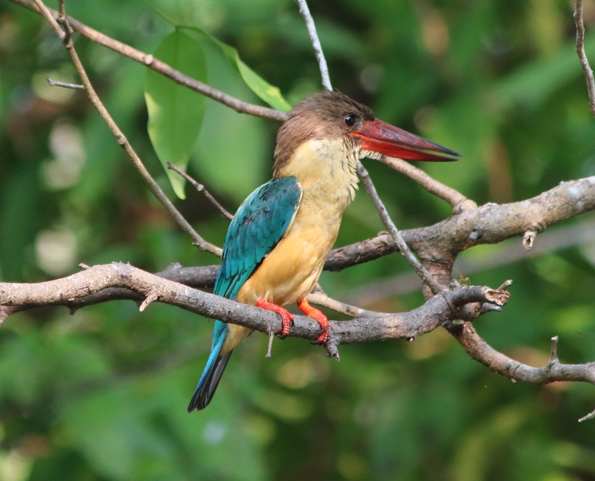
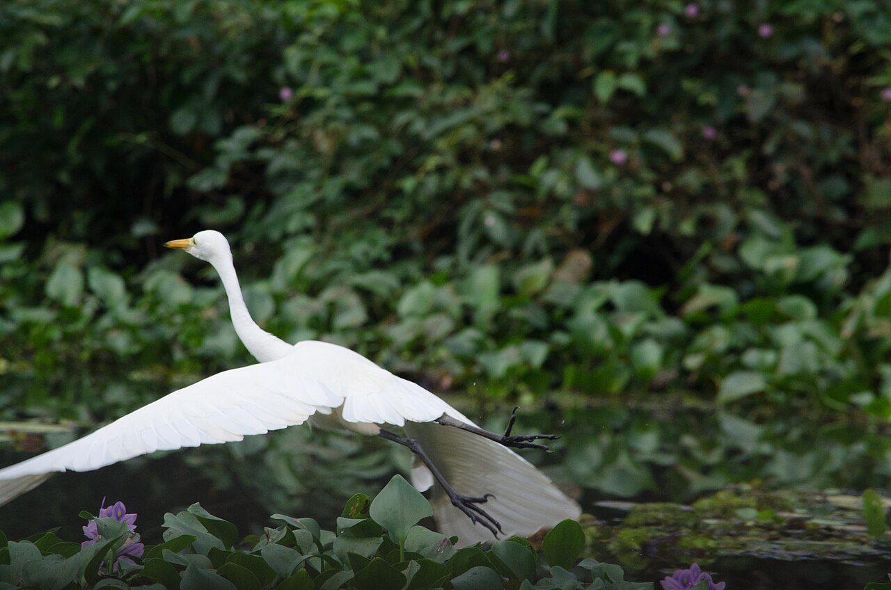
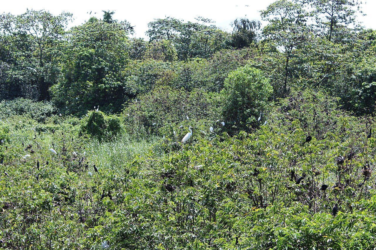
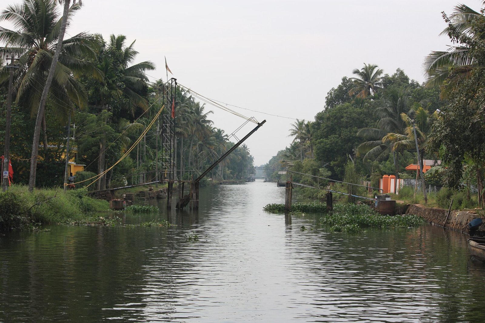
Kumarakom is a cluster of small islands on the eastern shore of Vembanad, the longest lake in India, in Kottayam district. It grew up around the rubber and paddy estates of the Baker family, whose old bungalow is now a heritage hotel, and their garden became the Kumarakom Bird Sanctuary. Between November and February the sanctuary fills with migratory birds, including Siberian storks, herons, egrets and darters, and a walk on the raised paths at dawn is the best way to see them. On the lake, houseboats and canoe rides pass through canals lined with coconut palms, and the fields around lie below sea level behind earth bunds. It is about 16 km from Kottayam town.
Spread over about 14 acres of mangrove, coconut grove and paddy on the eastern bank of Vembanad Lake, the Kumarakom Bird Sanctuary began as a rubber plantation belonging to the Baker family and was declared a sanctuary in 1976. Local birds here include egrets, herons, darters, cormorants, waterfowl and the Indian tree pie, and from November to February migrants arrive from Siberia and the Himalayas, among them teals and flycatchers. A walkway and a watchtower run through the sanctuary, and boats can be taken along the edge of the lake at dawn. The old Baker bungalow still stands within the grounds. Early morning is by far the best time.
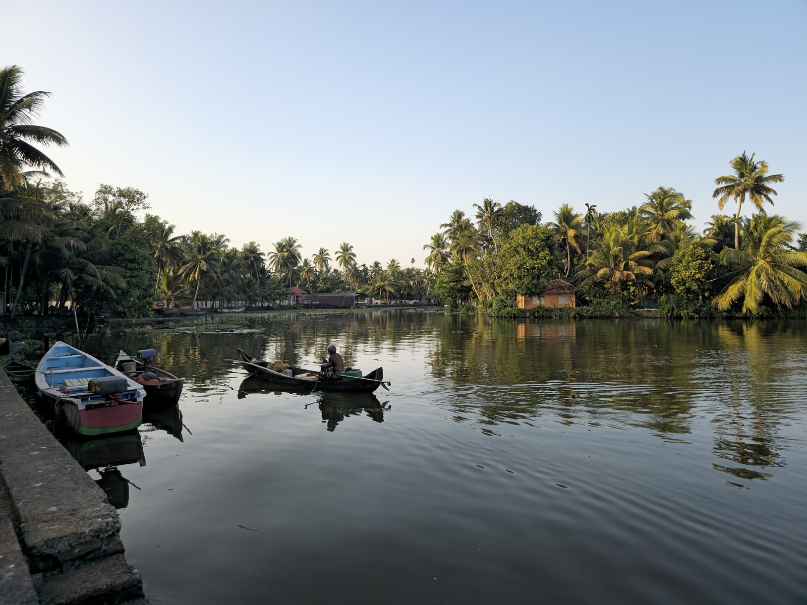
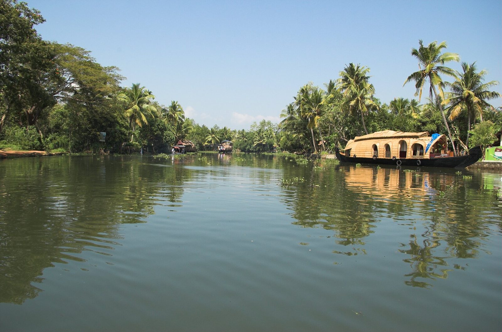
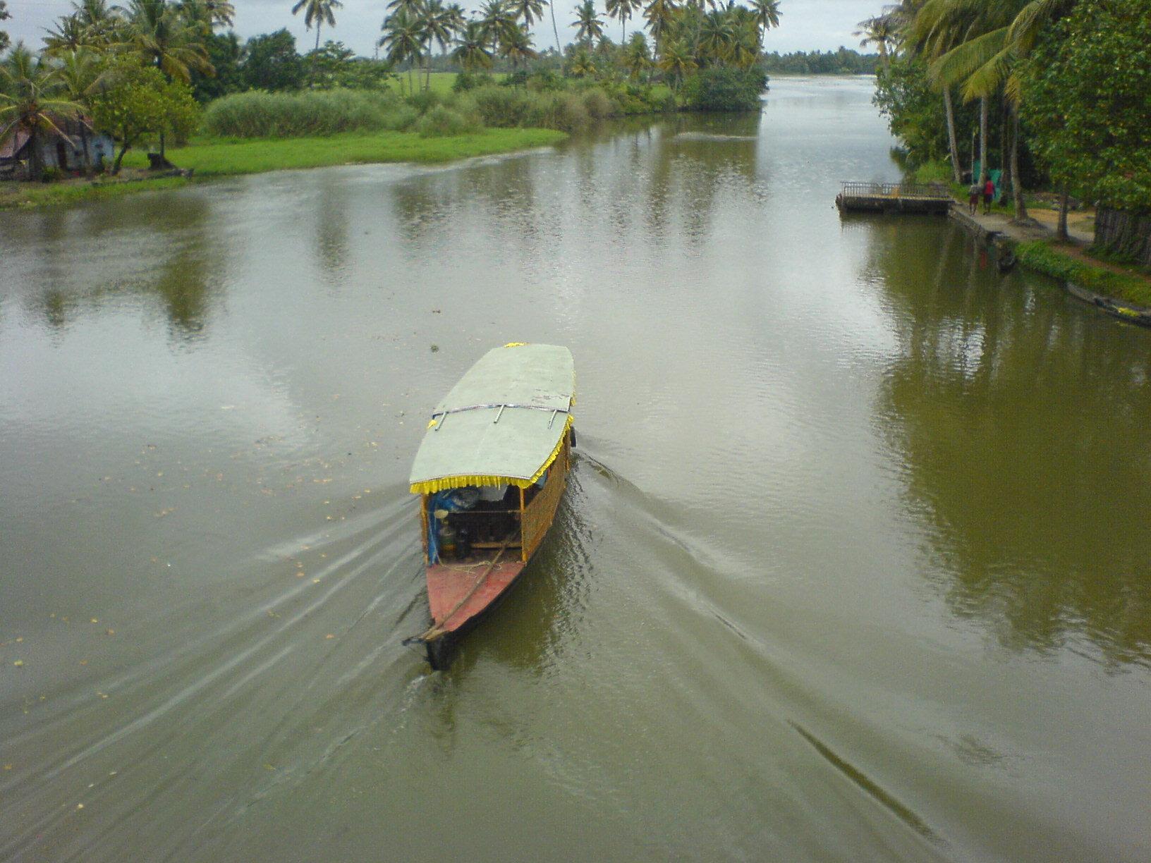
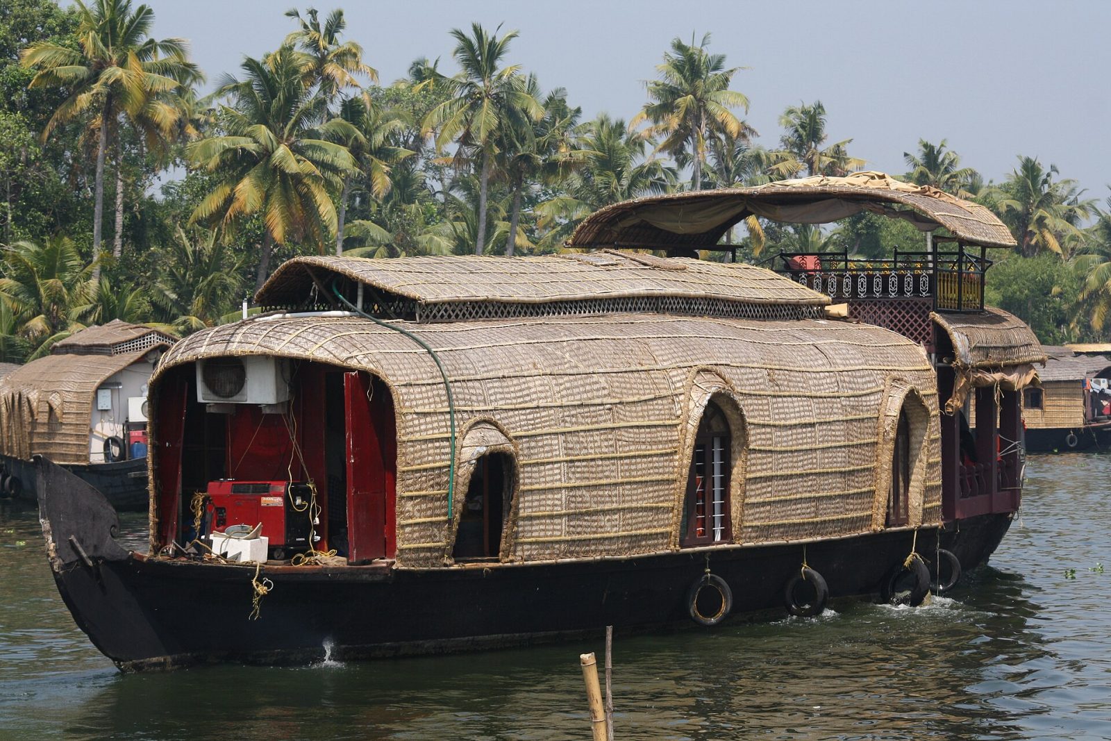
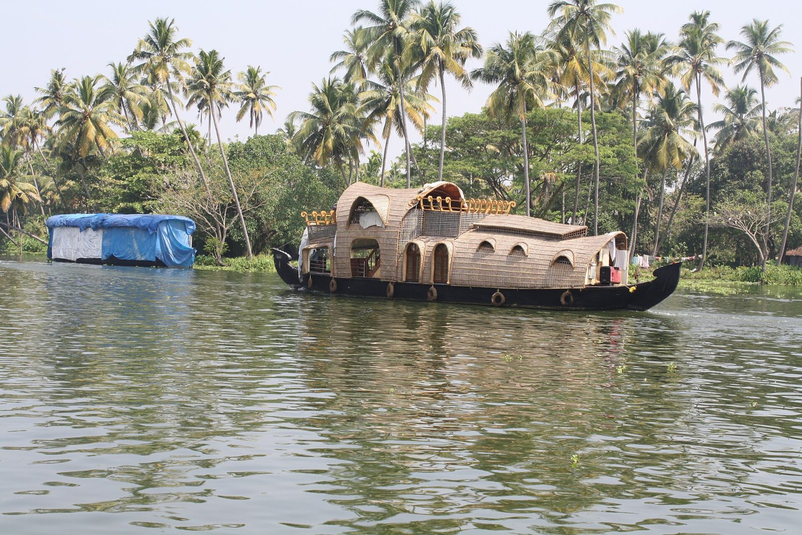
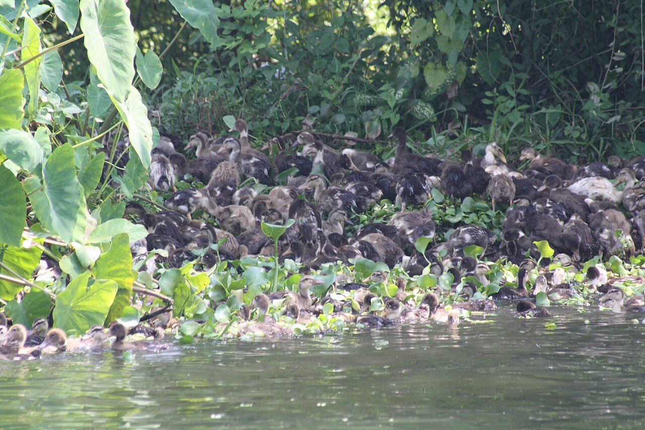
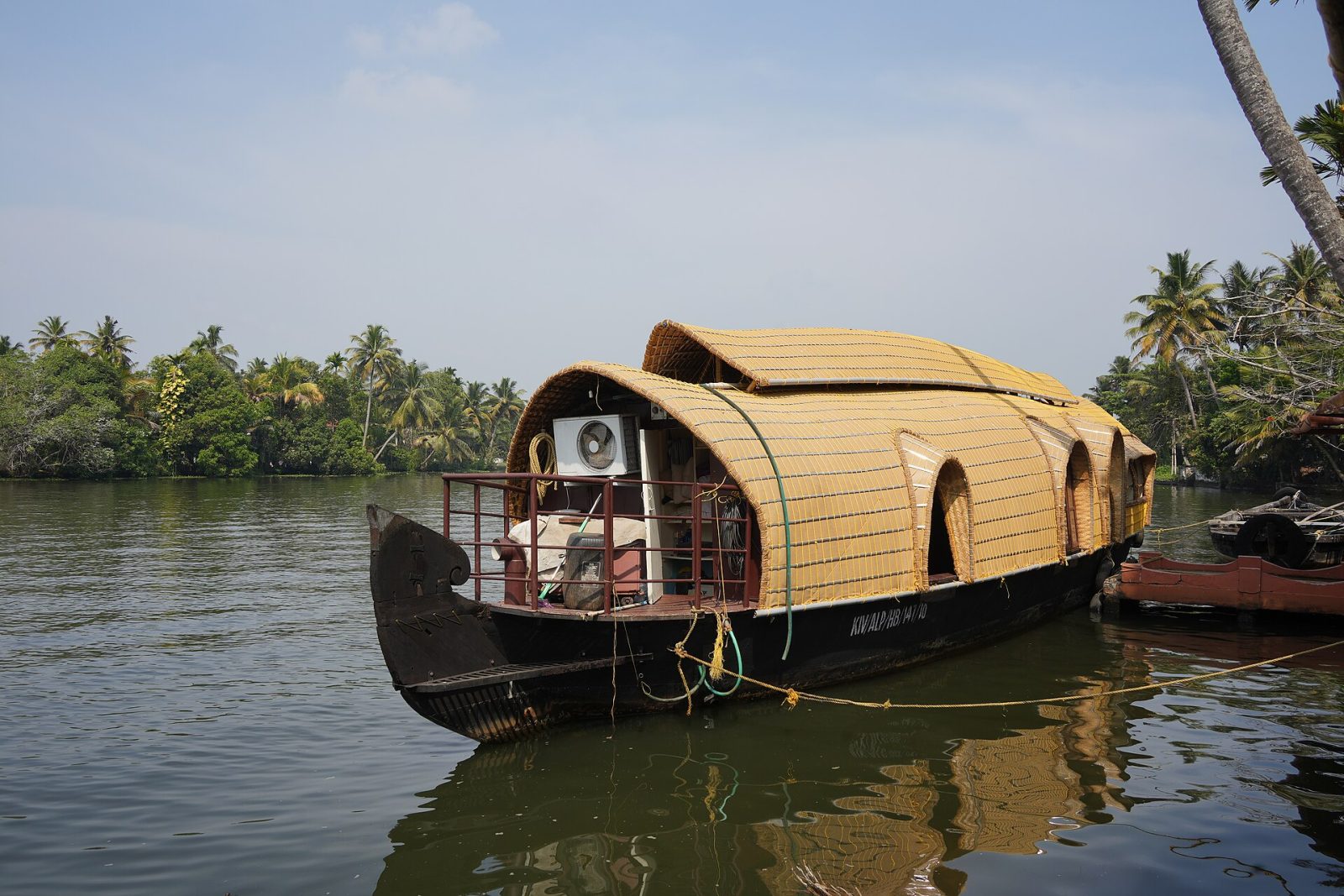
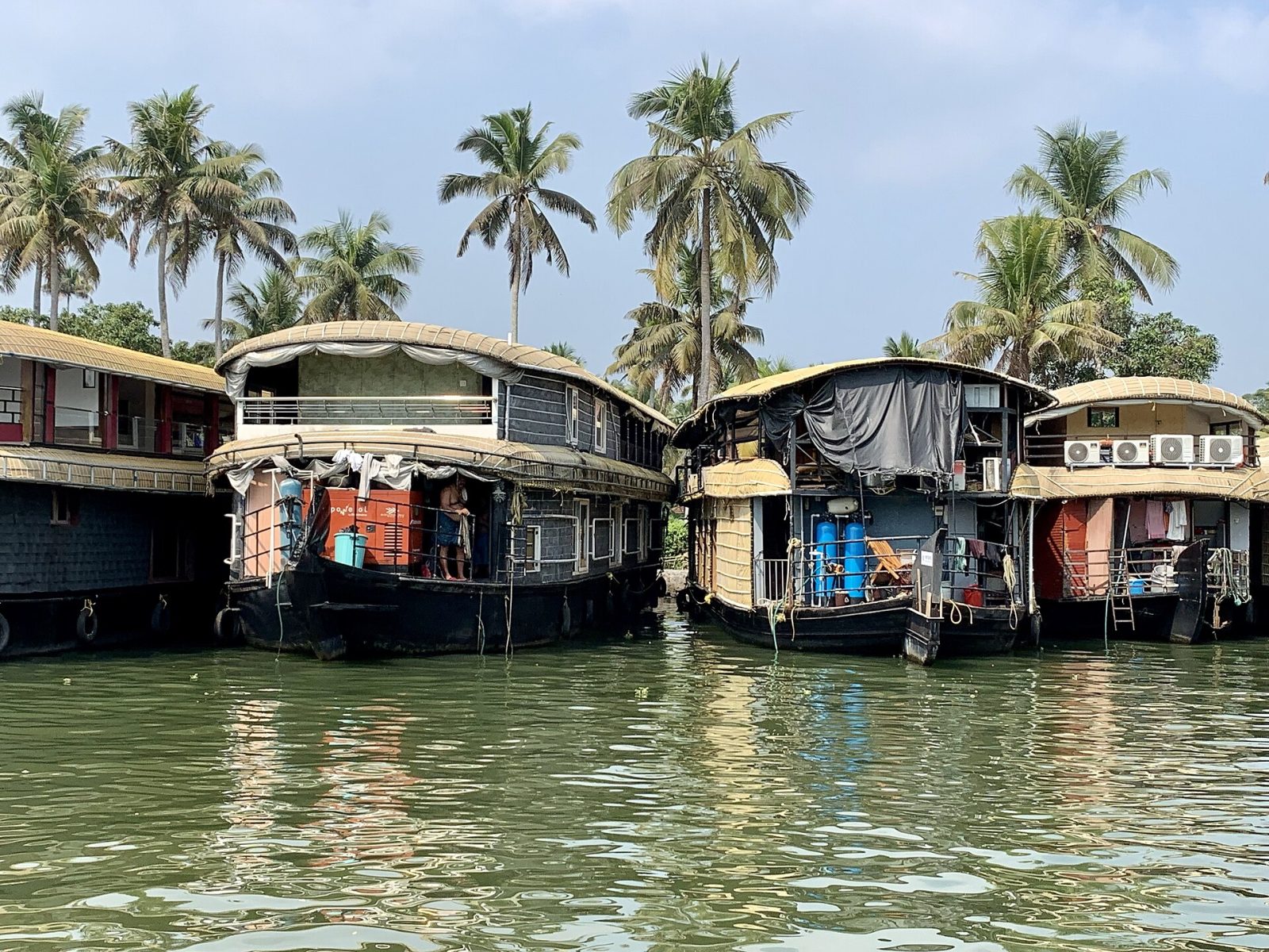
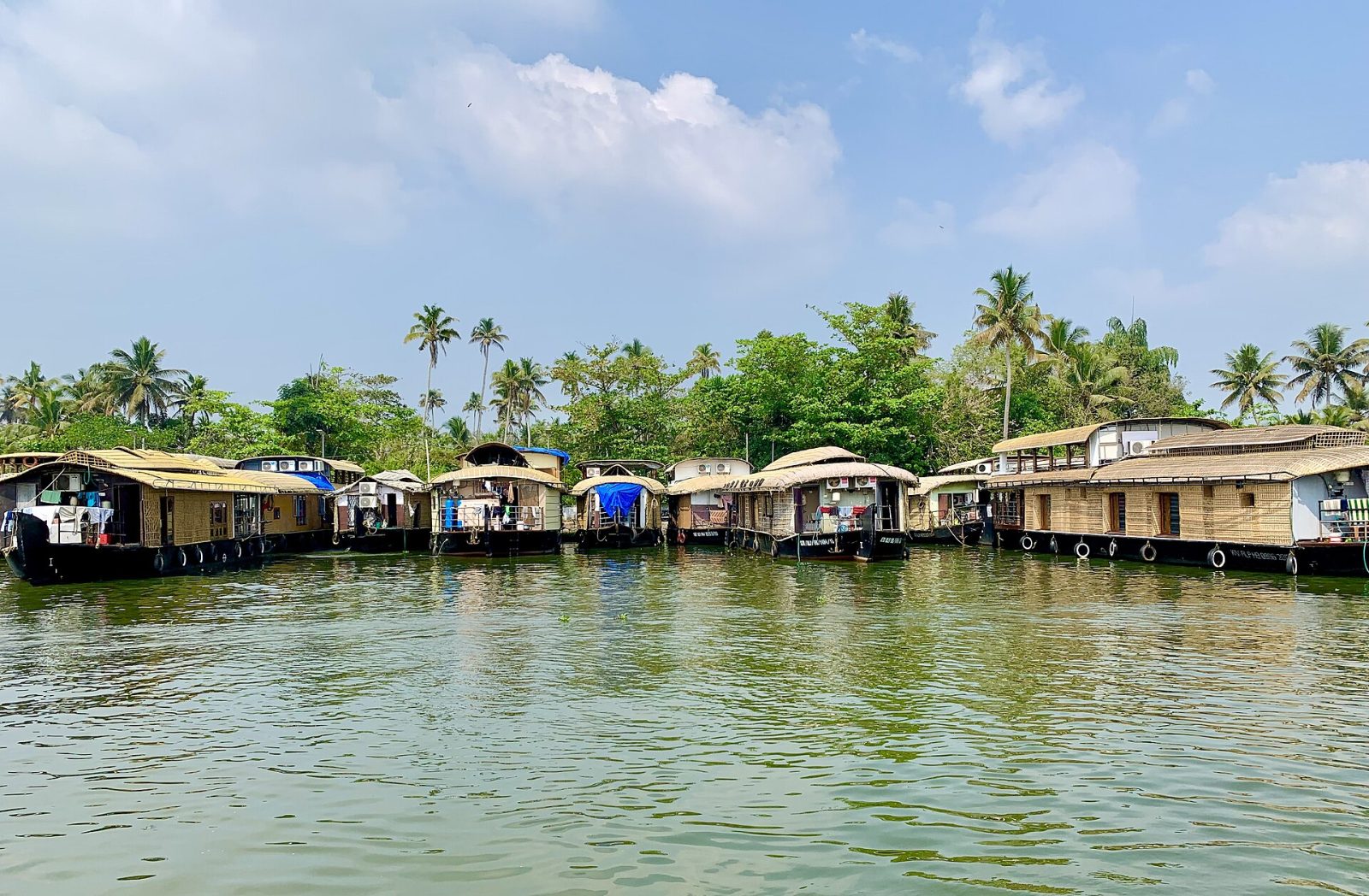
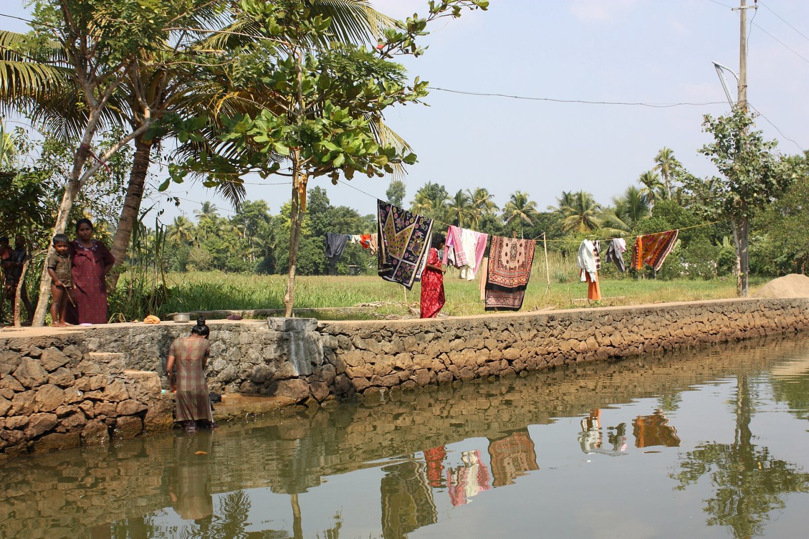
The Alappuzha backwaters are a maze of canals, lagoons and lakes that run behind the coast of Alappuzha, once known as Alleppey. For centuries these waterways were the highways of Kerala, carrying rice, coir and spices from the villages to the ports, and the big kettuvallam rice barges you now see as houseboats were built for that trade. Today a slow cruise past paddy fields lying below sea level, coconut palms and small village churches and temples is the classic Kerala experience. Overnight houseboats, smaller shikara boats and the cheap public ferry from Alappuzha to Kottayam all cross the same water. The season runs from about November to February, and the snake boat races in the monsoon months draw huge crowds.
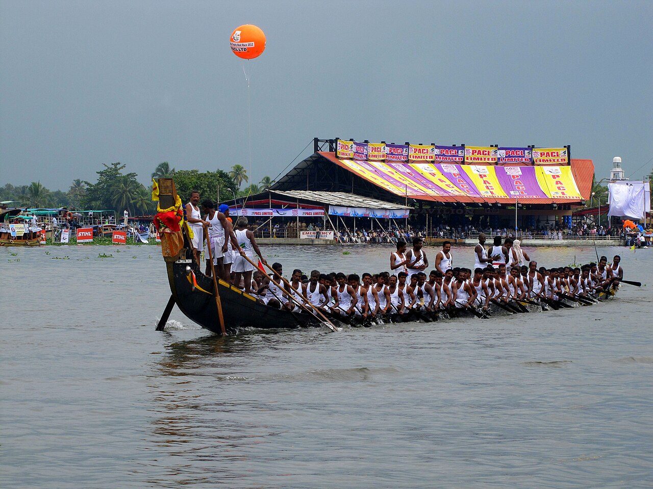
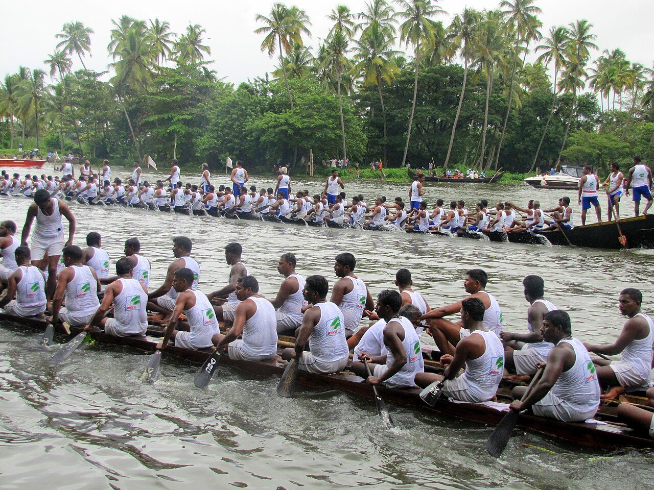
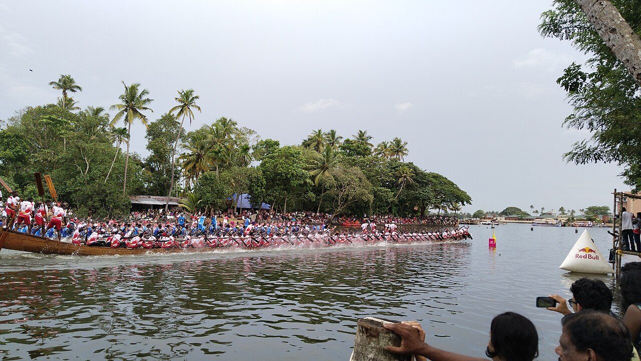
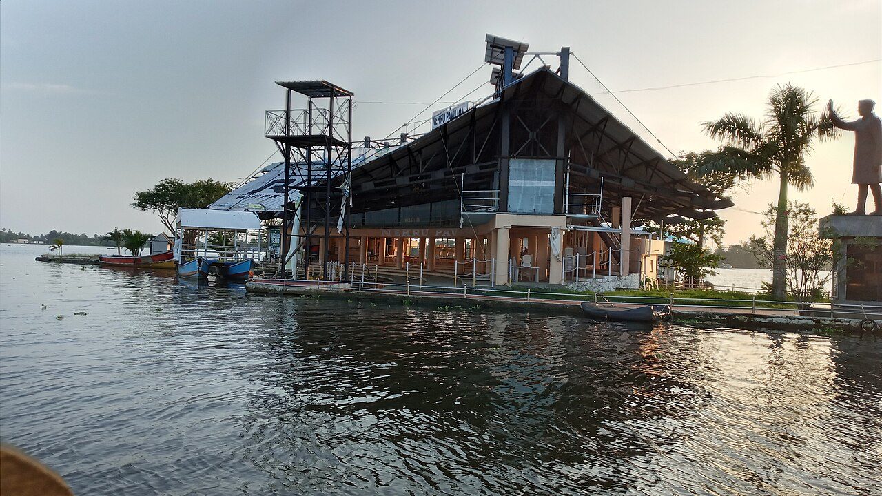
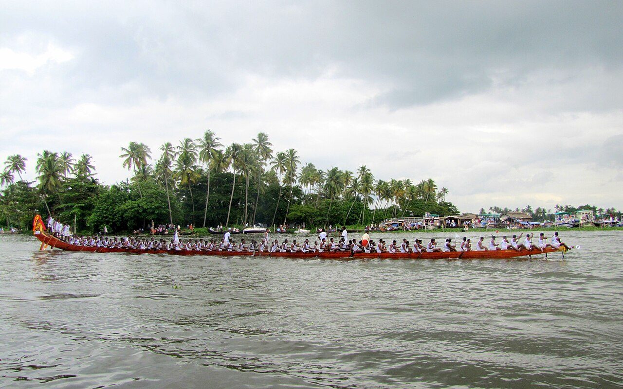
Punnamada is the broad northern arm of Vembanad Lake at Alappuzha, and every August it becomes the stage for the Nehru Trophy Boat Race, the biggest snake-boat race in the world. The chundan vallams, up to 140 feet long with more than 100 rowers, were once war boats of the local chieftains and are now village-owned and fiercely competitive. The race was begun in 1952 after Jawaharlal Nehru visited Alappuzha and jumped into a winning boat. On other days the lake is a calm expanse used by houseboats and fishing canoes. The finishing point pavilion and the starting-point footbridge are landmarks on its shore.
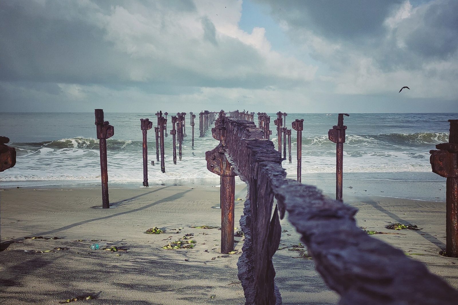
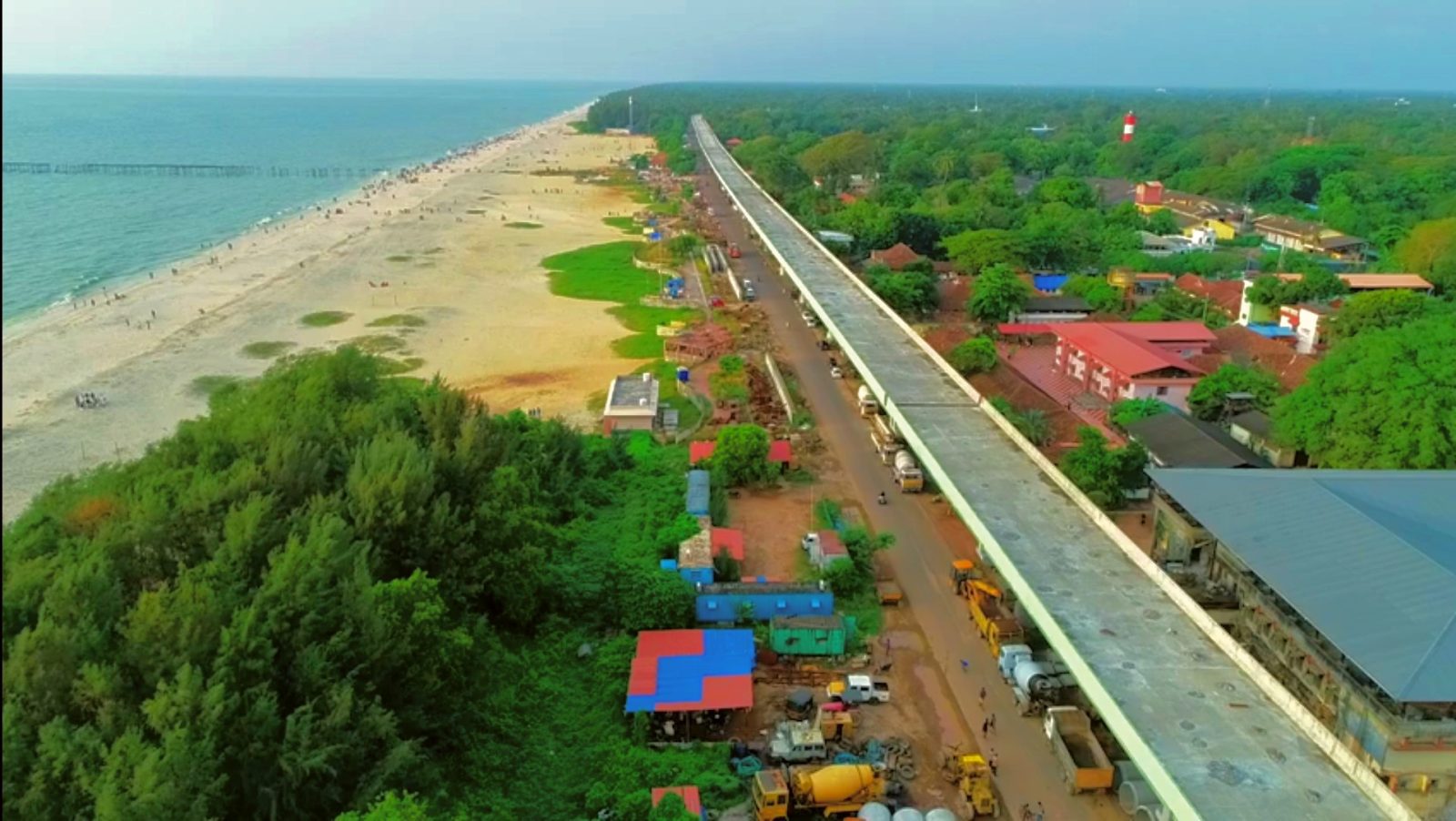
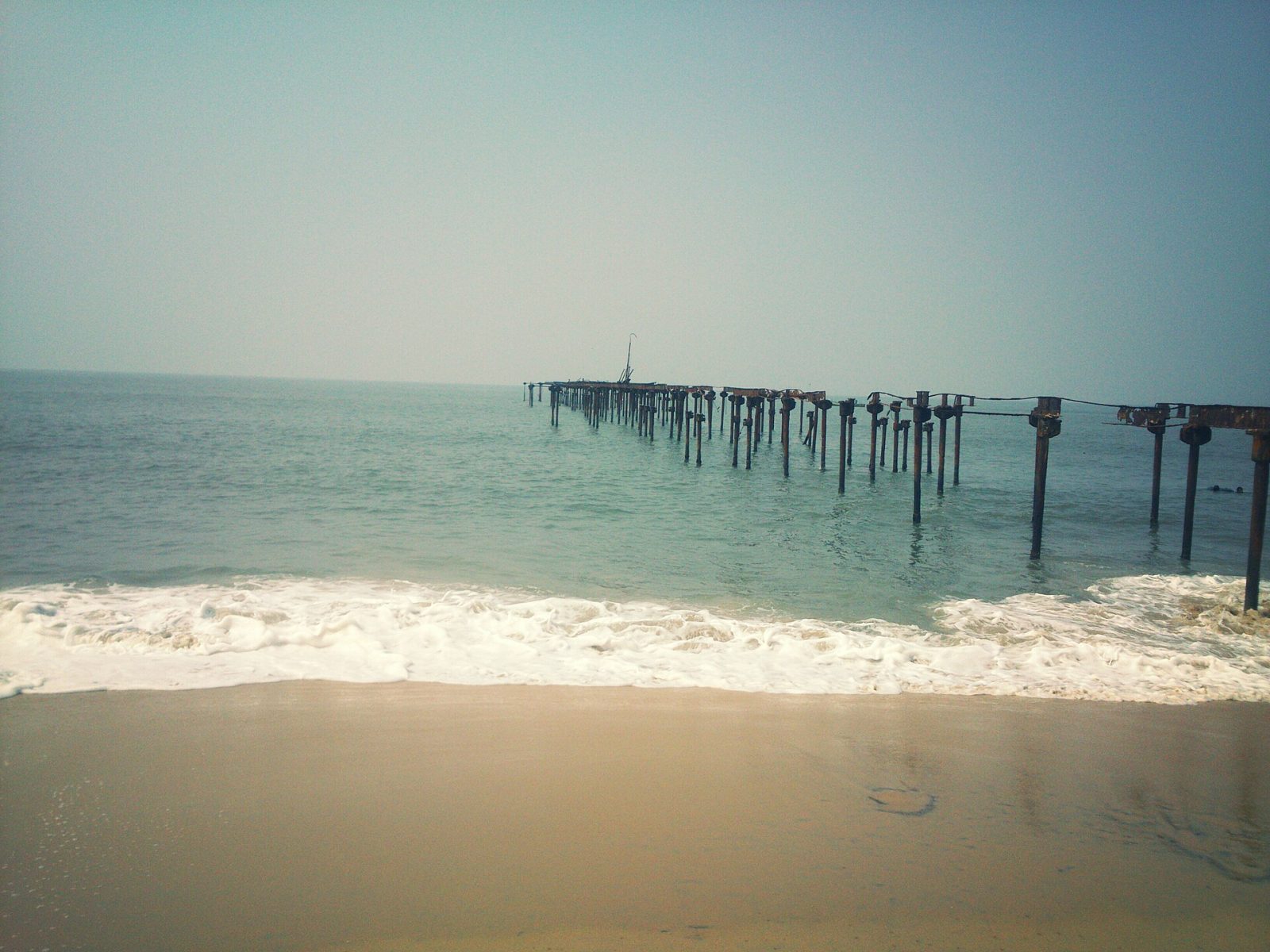
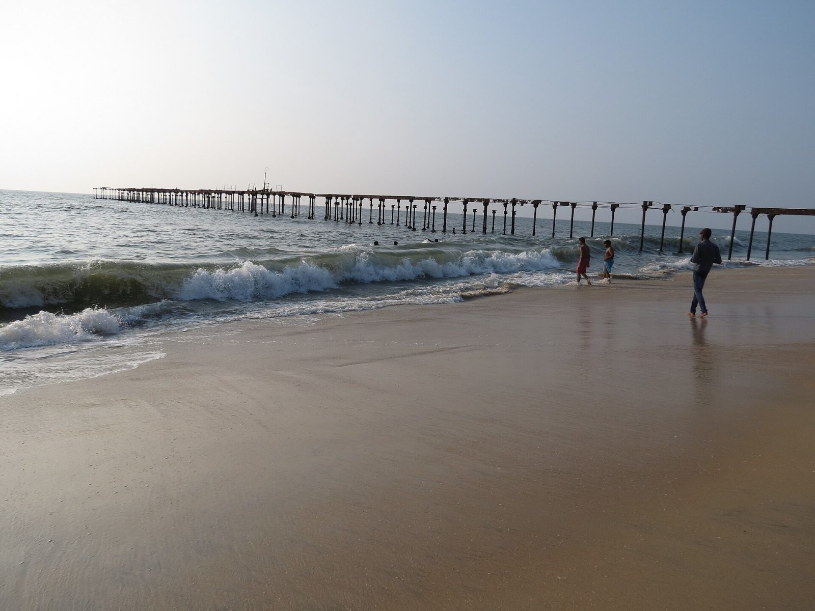
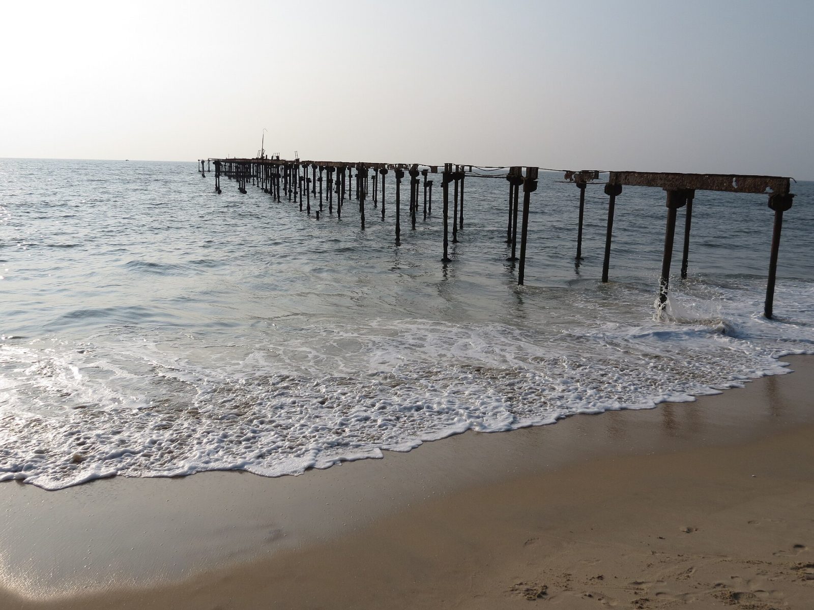
Alappuzha beach is where the backwater town meets the Arabian Sea, and its landmark is a 150-year-old pier that once carried cargo out to ships anchored offshore. The old sea bridge is now a ruin standing in the surf, and the 1862 lighthouse behind it is open to visitors for the view. Lord Curzon called this town the Venice of the East, and a walk along the beach park in the evening explains the nickname, with canals on one side and the sea on the other. Families gather at sunset for snacks from the stalls, and the beach hosts the town's big festivals. It is a short walk or auto ride from the boat jetty and railway station.
Best weather: Dec – FebHeavy rain: May – Oct
Seasons from 20 years of NASA POWER climate data.
Was this trip blog helpful?
0
0
Ready to follow this route?
Copy all 15 stops into your trip plans in the app.
 WaTrips