Chopta, Tungnath and Deoria Tal in 3 Days TRIP BLOG Photo: Varun Shiv Kapur · CC BY 2.0
India · Uttarakhand · Chopta

Chopta, Tungnath and Deoria Tal in 3 Days

3 DAYS 6 places by WaTrips

Devprayag, Dhari Devi and Rudraprayag, the Deoria Tal hike and Chopta's meadows, then Tungnath and Chandrashila.

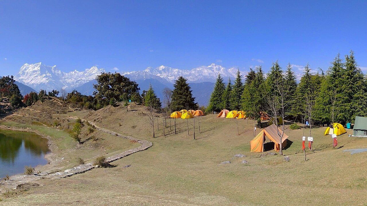
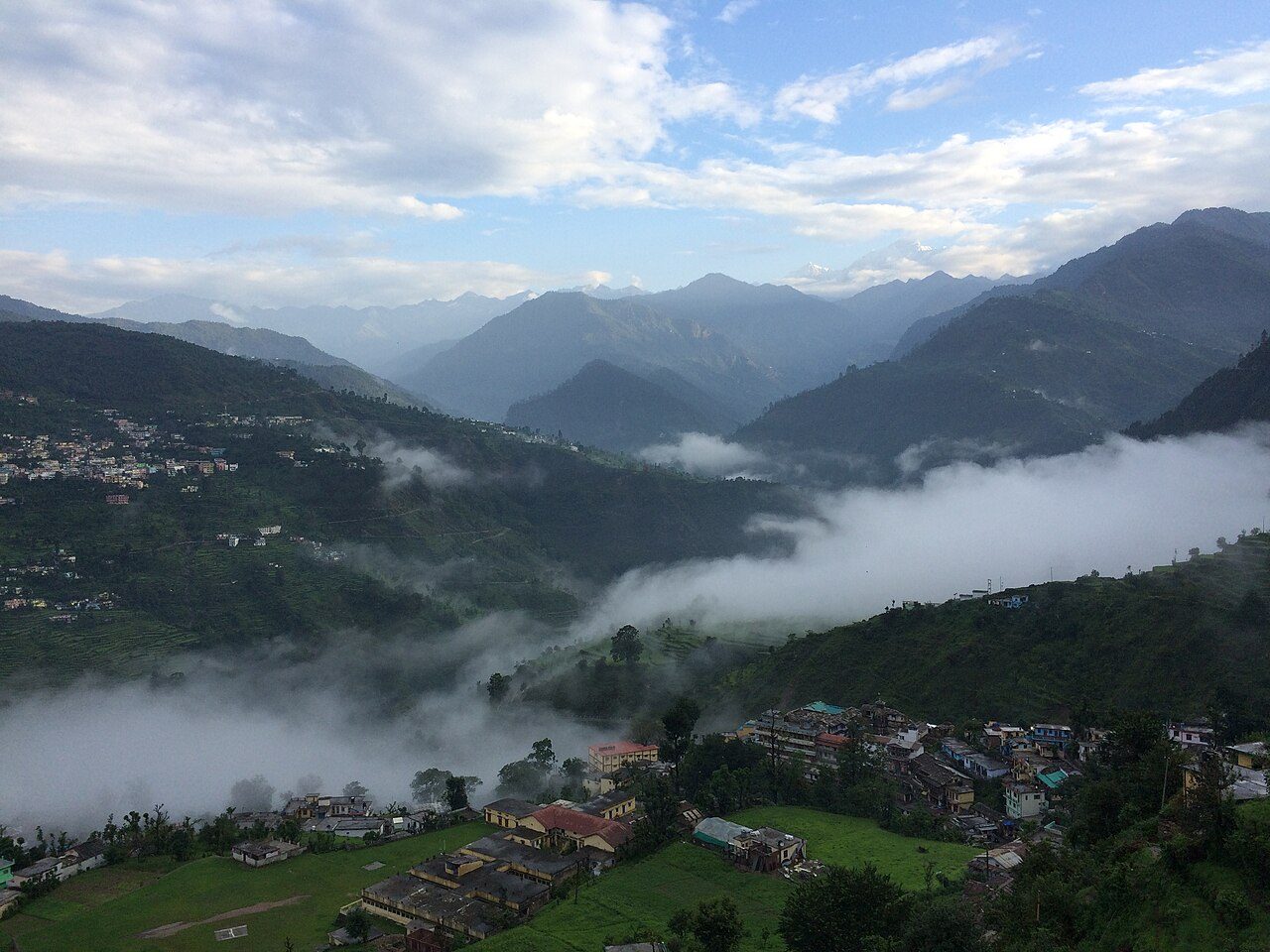
Chopta is a small meadow in the forests of the Kedar range and the start of one of the best short treks in the Himalaya. Day one rides up from Rishikesh past Devprayag, the Dhari Devi temple and the sangam at Rudraprayag. Day two hikes to Deoria Tal, where the Chaukhamba peaks reflect in the lake, then settles in Chopta. Day three climbs to Tungnath, the highest Shiva temple in the world, and on to Chandrashila for a wide Himalayan view. April to June and September to November are best; in winter the trail is under snow.

01
STOP 1 OF 6

Devprayag Sangam

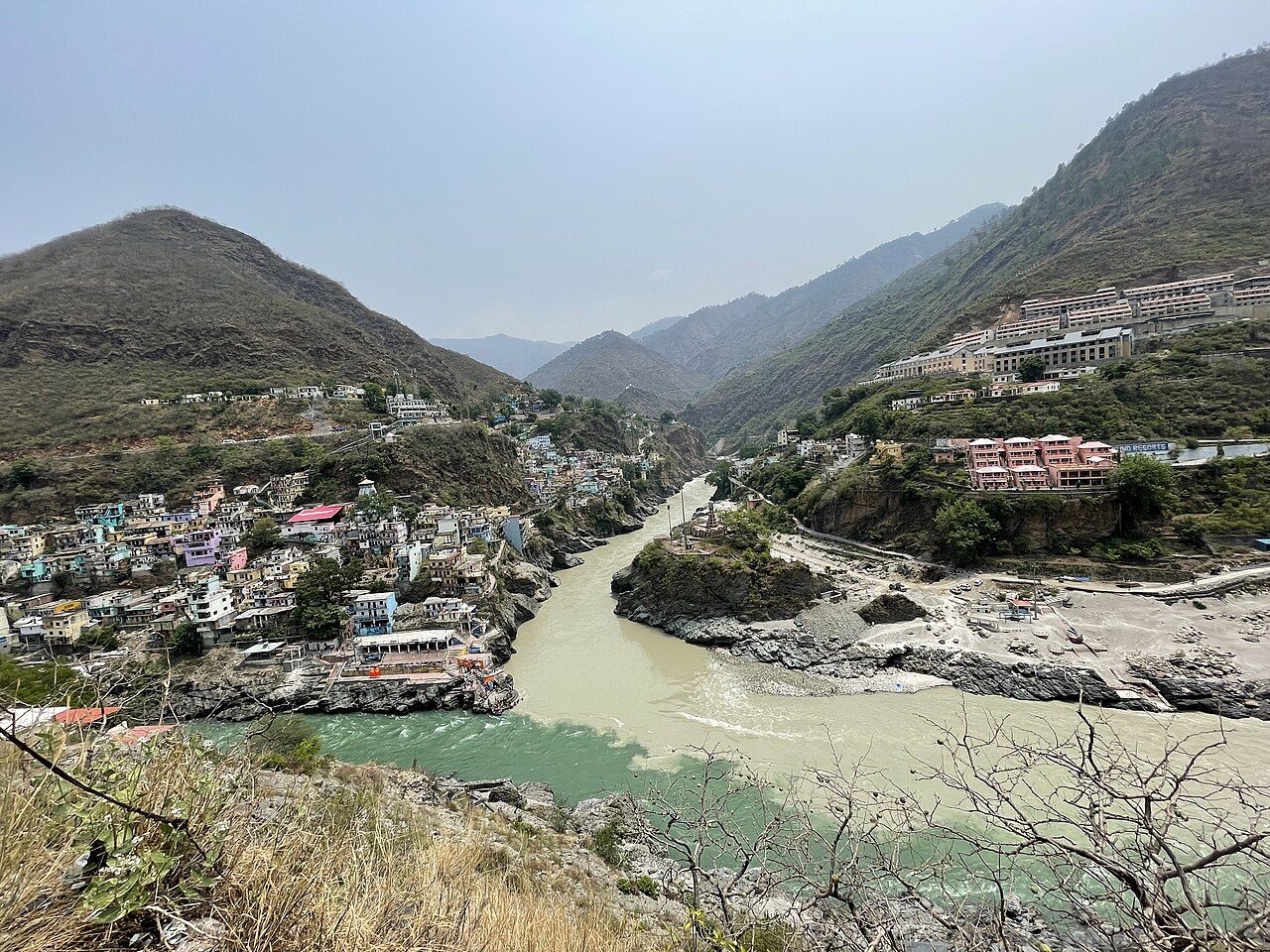
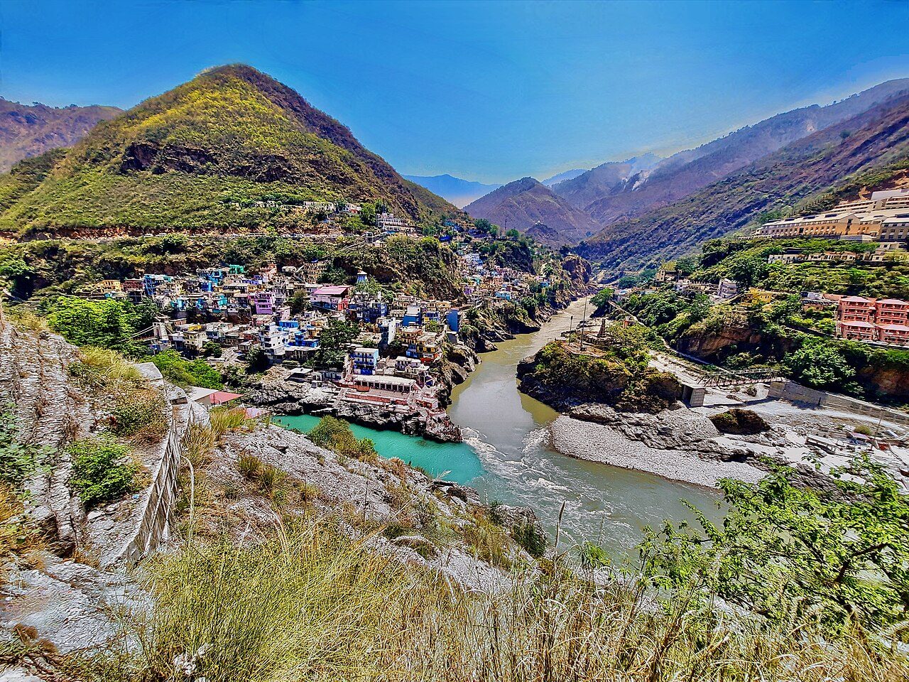
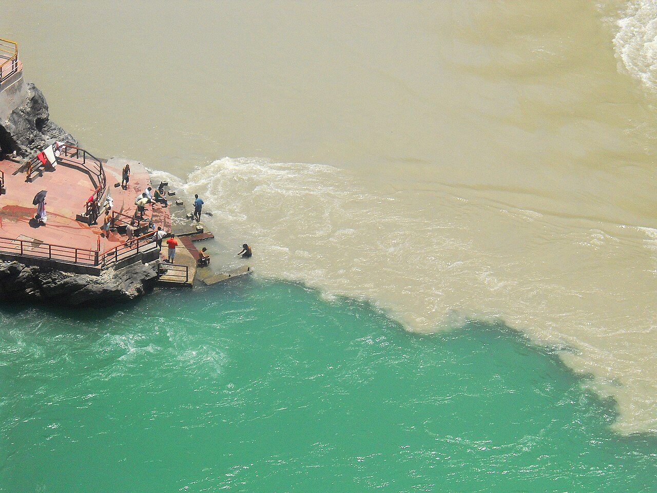
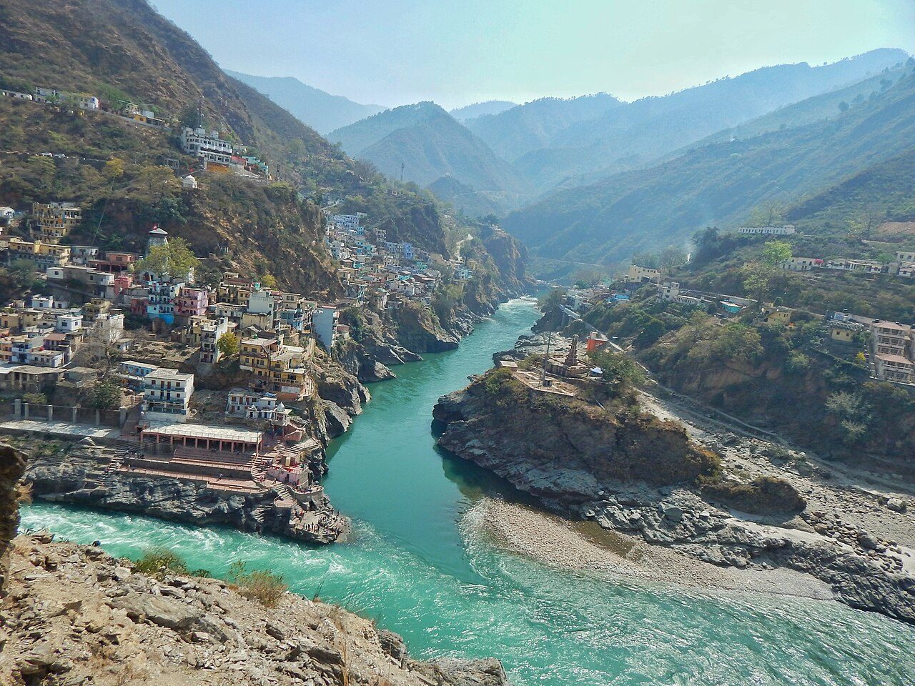
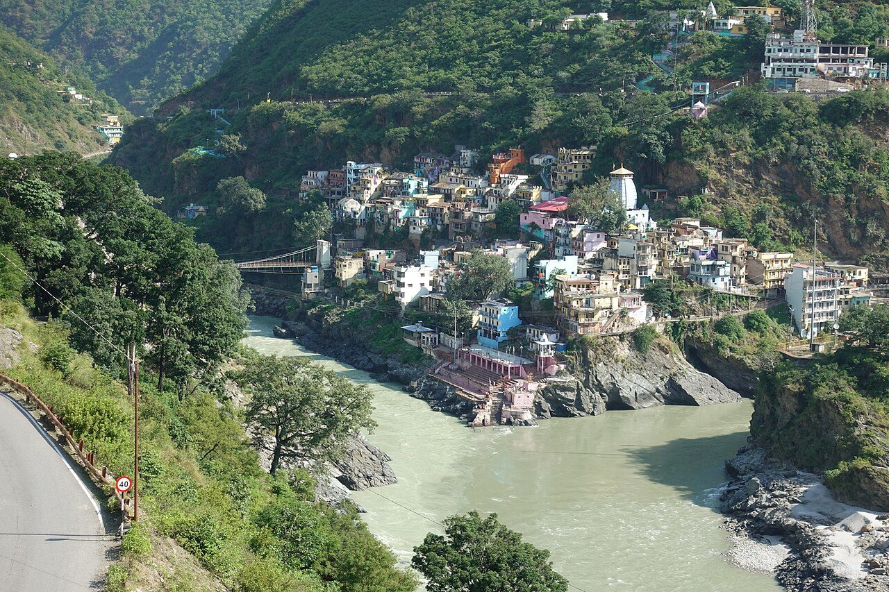
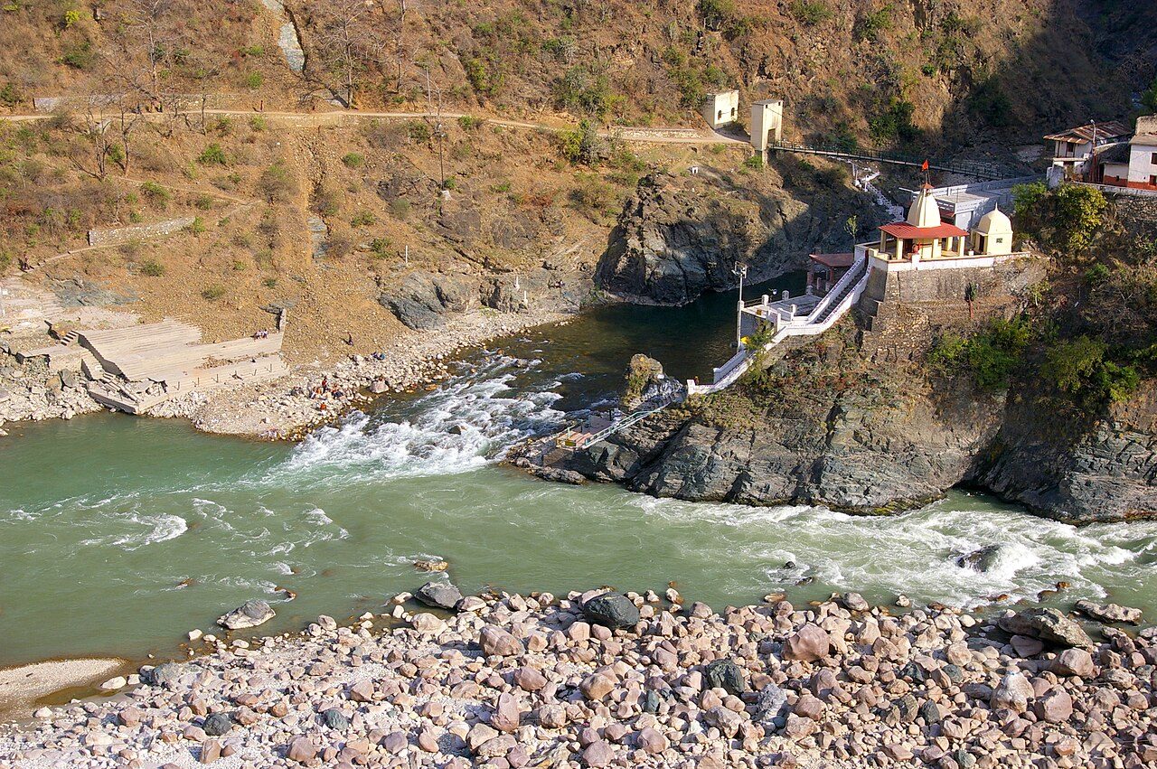
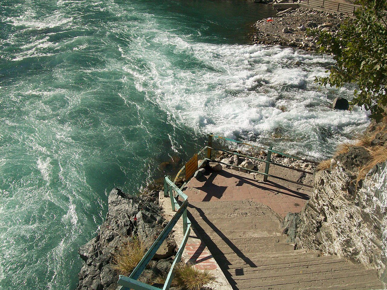
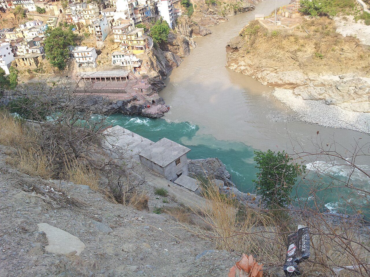
Devprayag is where the Bhagirathi and the Alaknanda meet to form the Ganga, the last and most sacred of the five confluences of Garhwal. The clear green and silty waters run side by side before merging below the town. Steps lead down to the bathing ghat at the point, pilgrims hold on to chains against the current, and the ancient Raghunath temple stands above.

Best weather: Oct – Feb Heavy rain: Jul – Aug
02
STOP 2 OF 6

Dhari Devi Temple

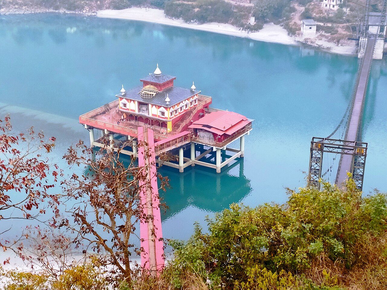
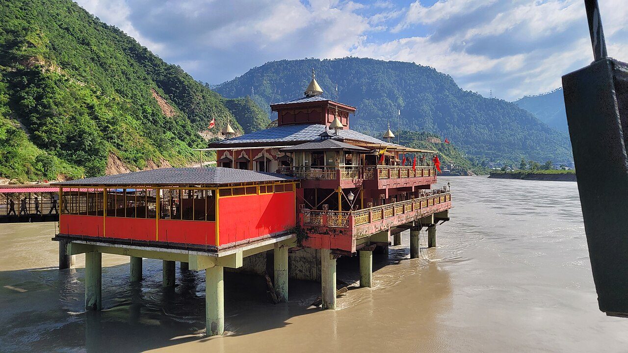
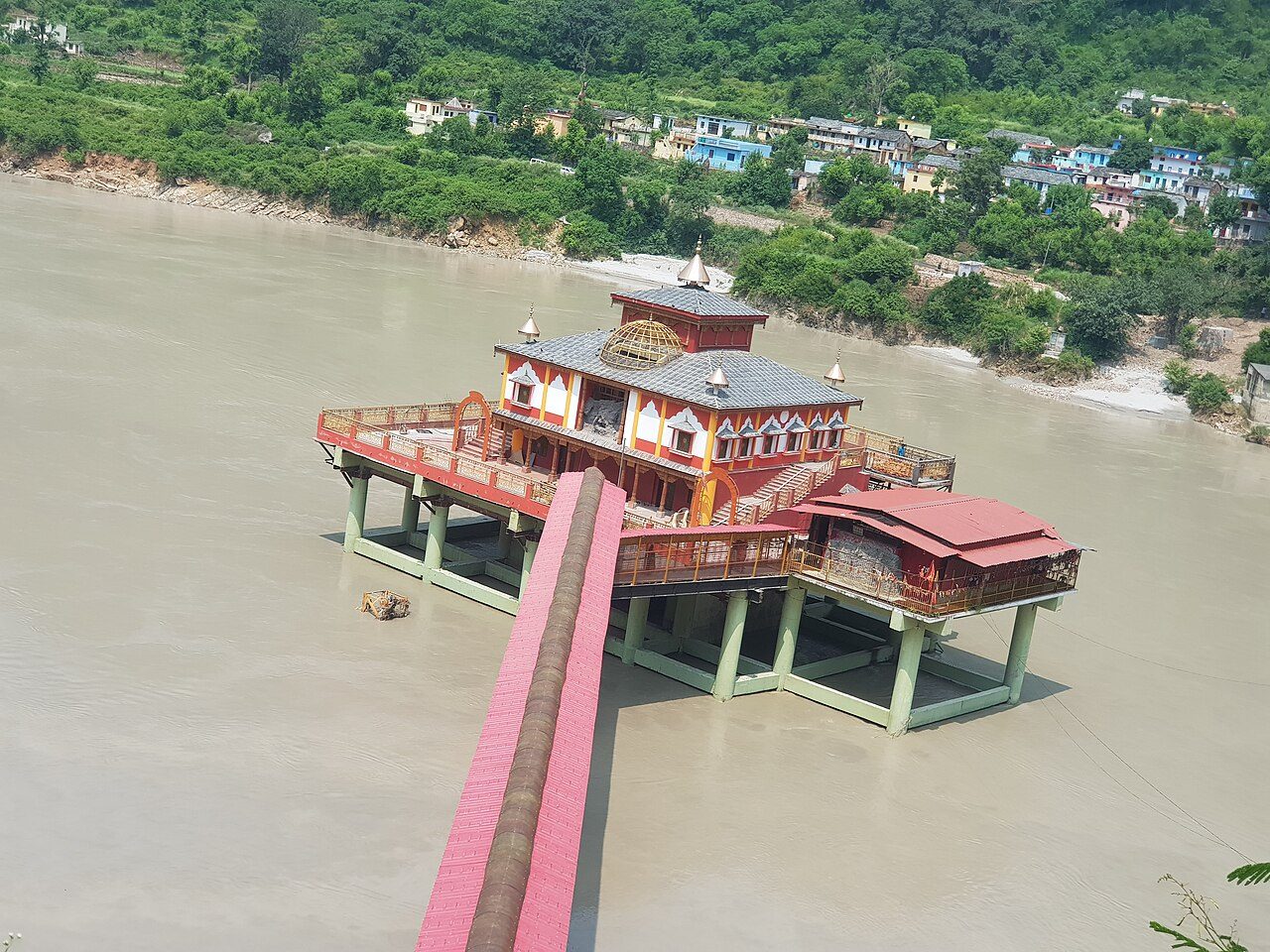
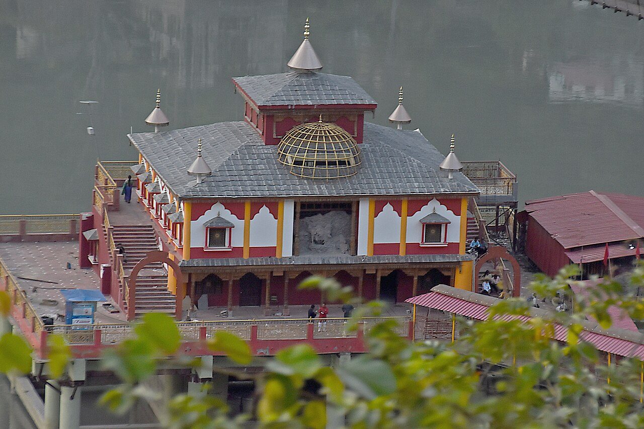
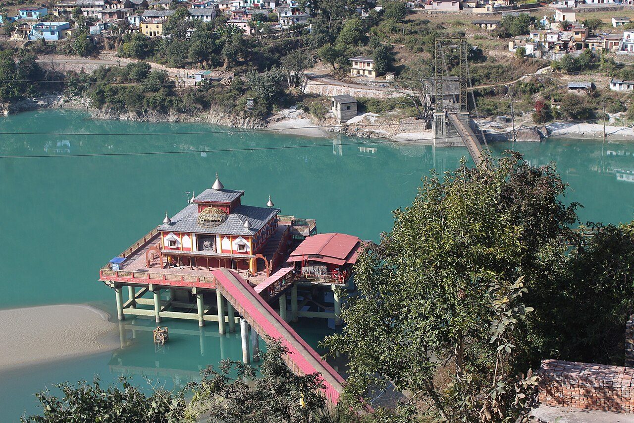
Dhari Devi Temple stands on a platform in the Alaknanda River between Srinagar and Rudraprayag. The goddess is regarded as the guardian of the Char Dham shrines, and local belief holds that her image changes appearance through the day. The idol was raised when a dam flooded the original rock, and the shrine now sits high above the water, reached by a footbridge from the highway.

Best weather: Oct – Feb Heavy rain: Jul – Aug
03
STOP 3 OF 6

Rudraprayag Sangam

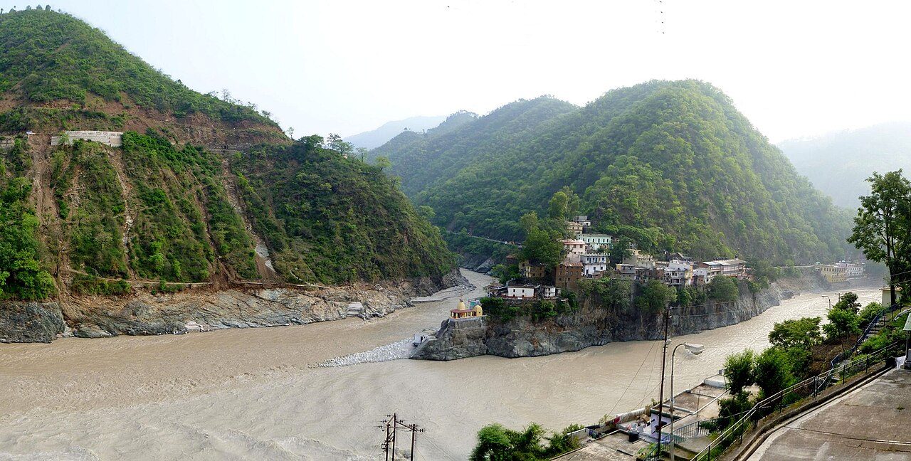
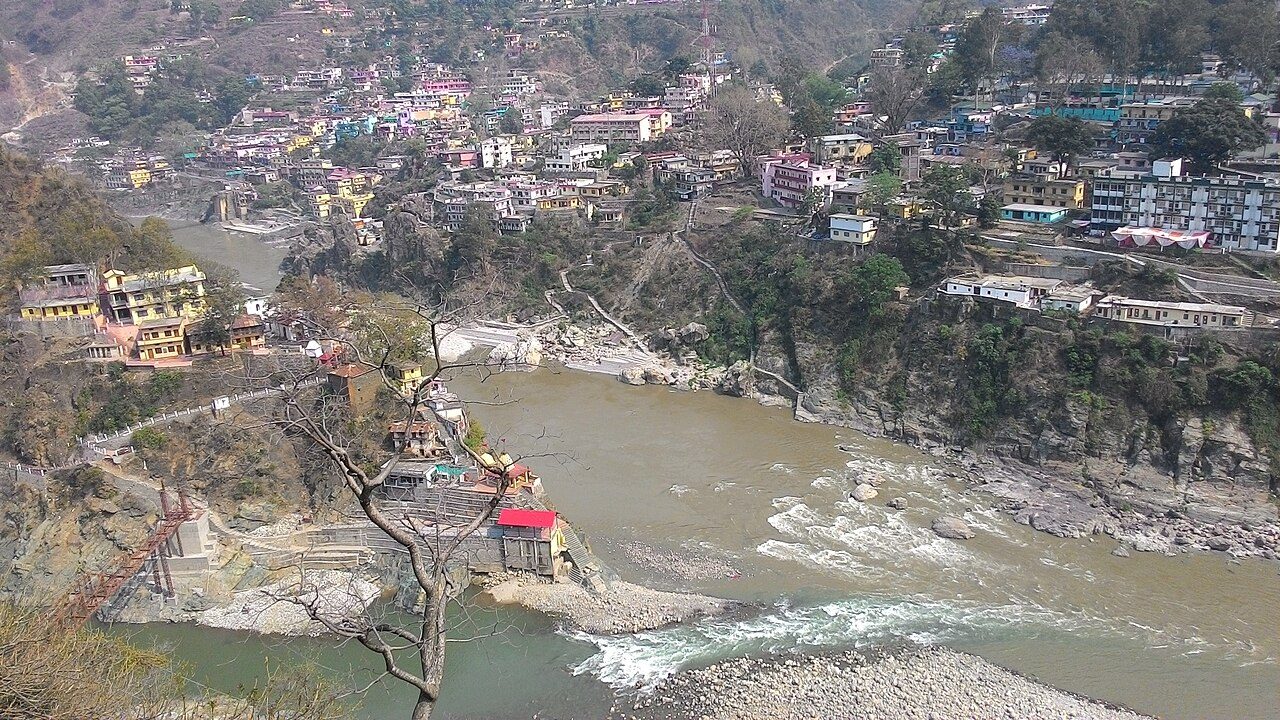
Rudraprayag is one of the five sacred confluences of the Alaknanda, where the Mandakini flowing down from Kedarnath joins it. A long flight of steps leads from the town to the meeting point, with a small temple to Rudranath and Chamunda Devi above the water. The roads to Kedarnath and Badrinath divide here, so most Char Dham pilgrims pass through.

Best weather: Oct – Feb Heavy rain: Jul – Aug
04
STOP 4 OF 6

Deoria Tal

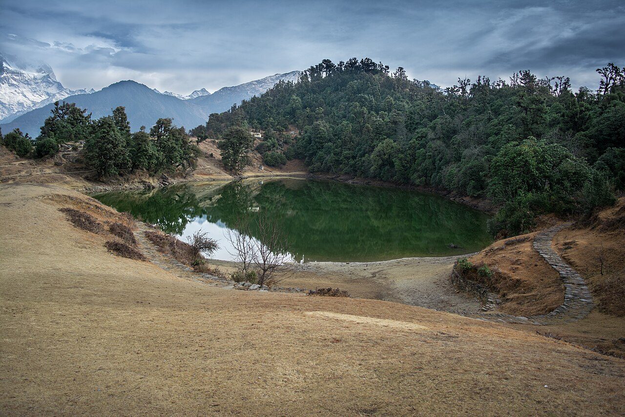
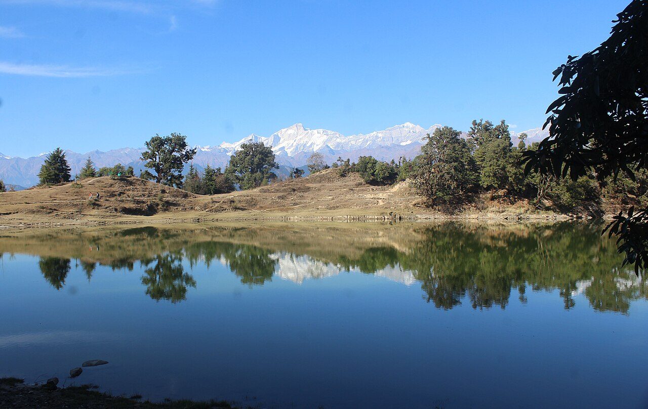
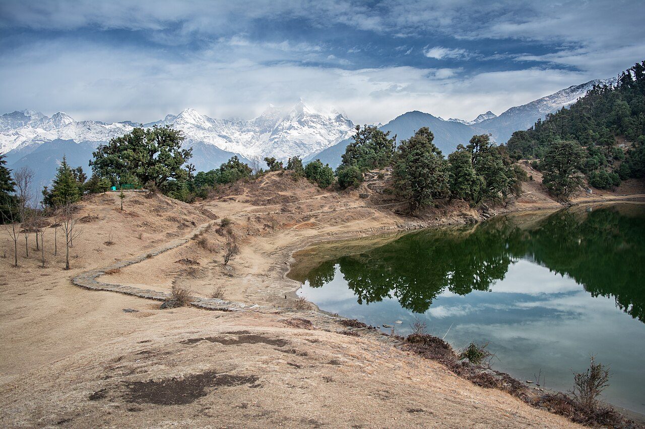
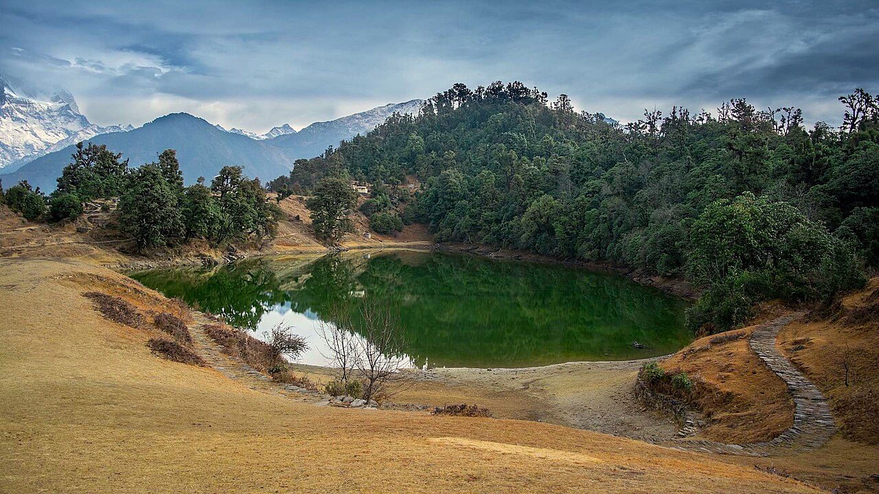
Deoria Tal is a small lake at about 2,440 metres above the village of Sari, near Ukhimath. On a still, clear morning it mirrors the Chaukhamba massif and neighbouring peaks. The walk up from Sari is a little over two kilometres on a stone path, and many visitors camp near the lake. Legend says the gods bathed here; the forest around it is rich in birds.

Best weather: Apr – Jun Heavy rain: Jul
05
STOP 5 OF 6

Chopta

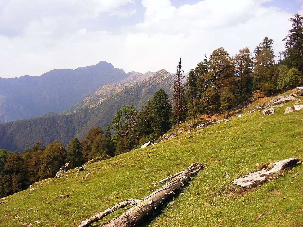
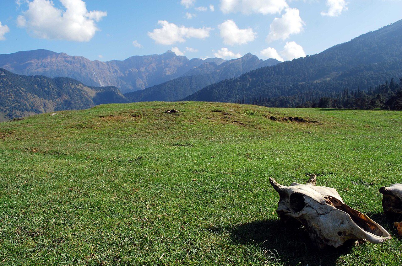
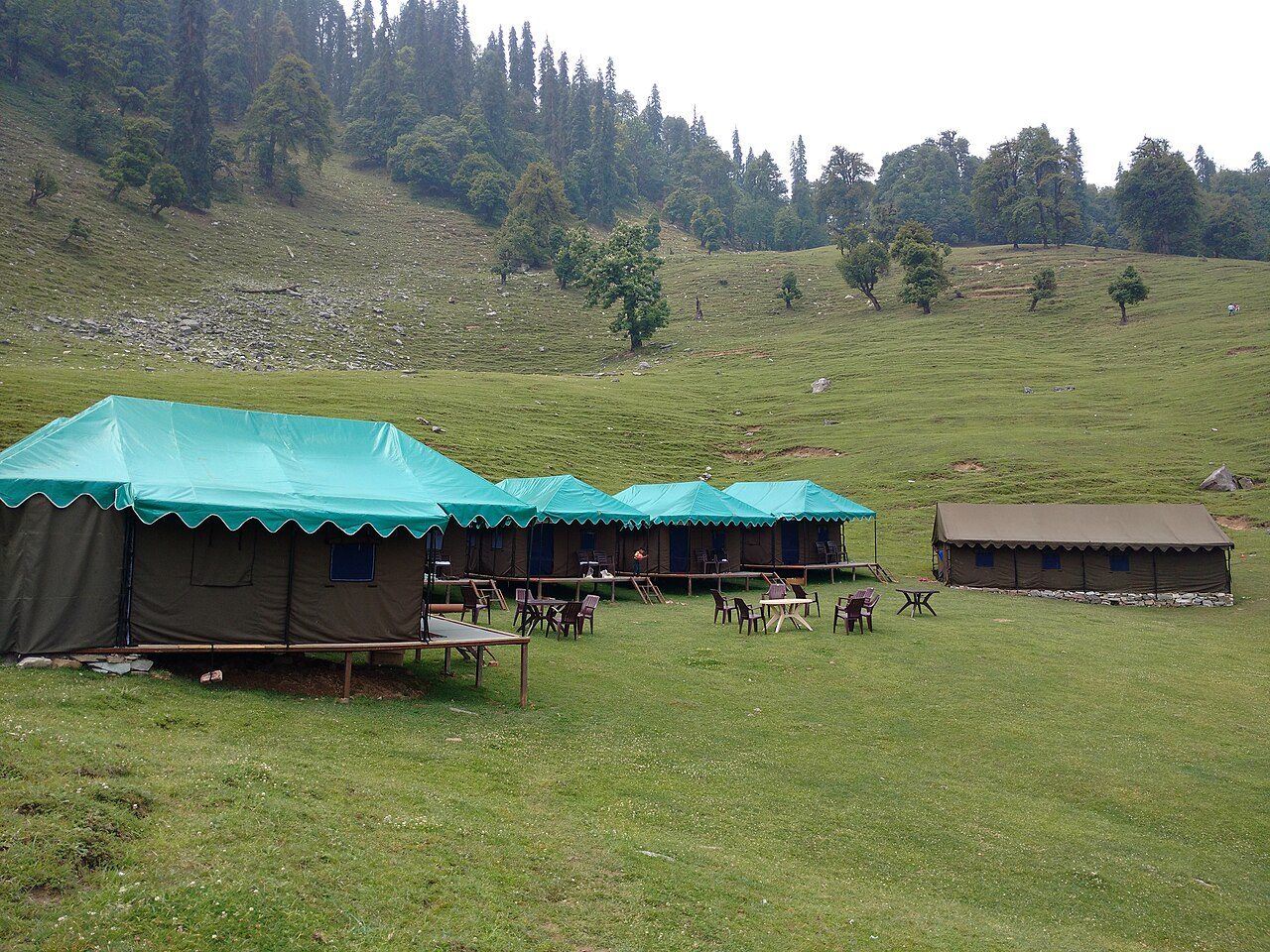
Chopta is a small roadside settlement among meadows and forest at about 2,700 metres, on the road between Ukhimath and Gopeshwar. It is the starting point for the trek to Tungnath and Chandrashila and lies inside the Kedarnath Wildlife Sanctuary, known for musk deer and the monal pheasant. Rhododendrons bloom in March and April, and snow closes the road for part of the winter.

Best weather: Apr – Jun Heavy rain: Jul
06
STOP 6 OF 6 · LAST STOP

Tungnath Temple

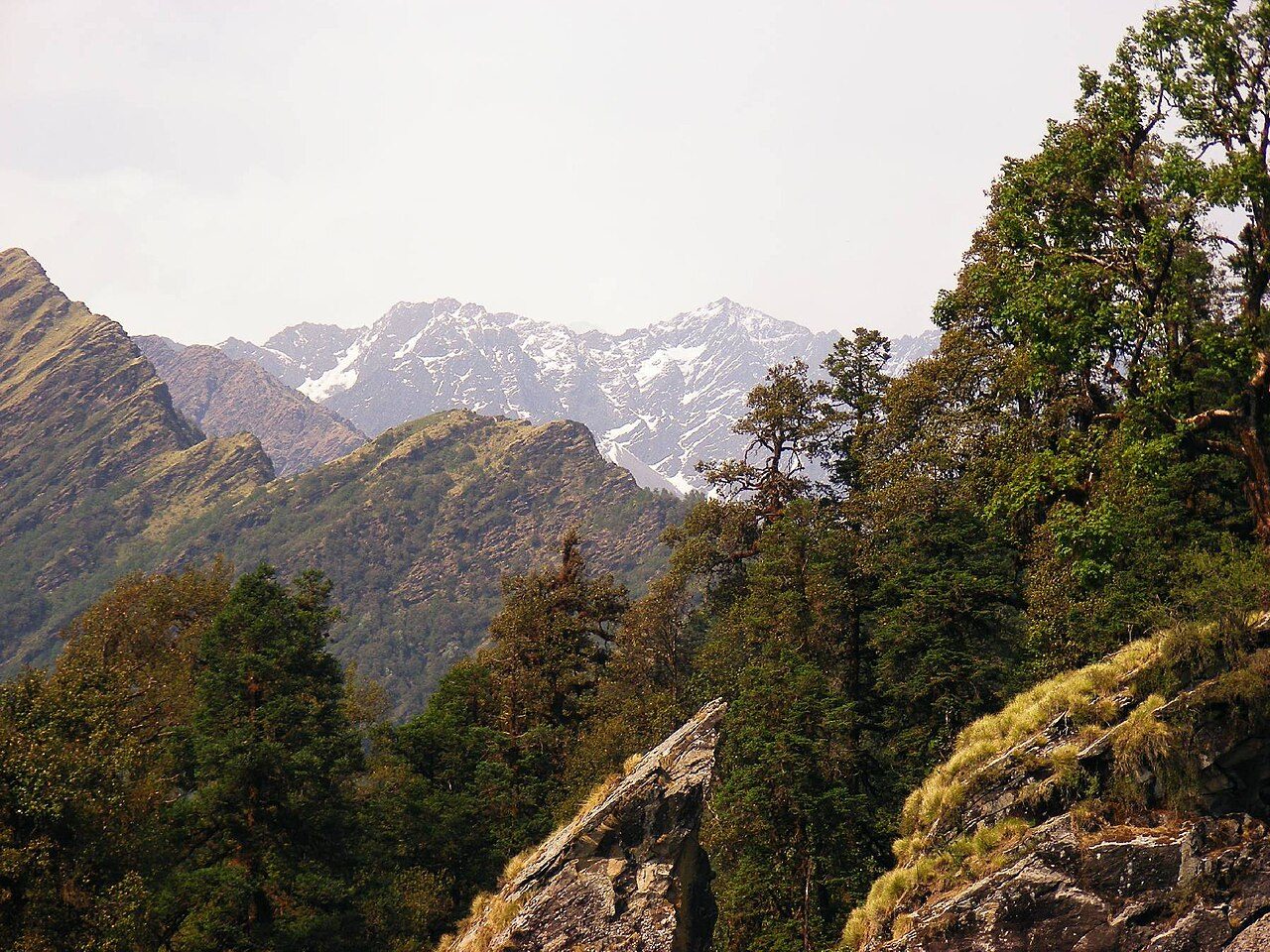
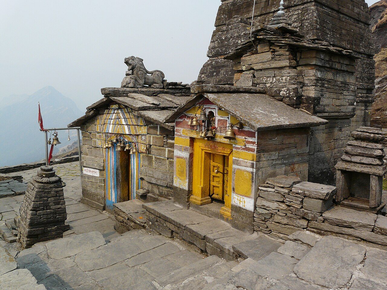
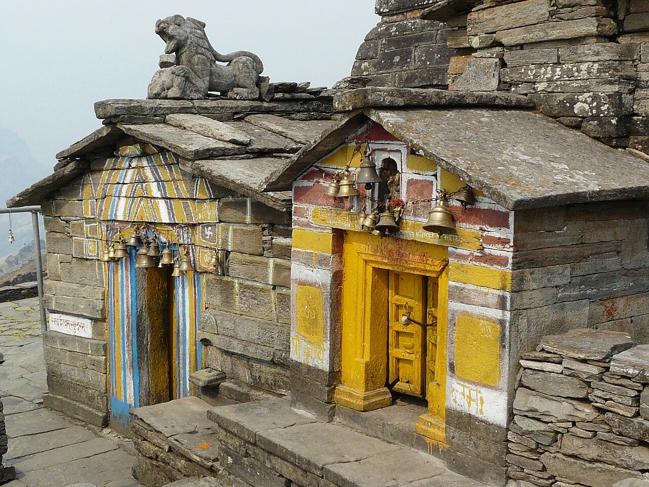
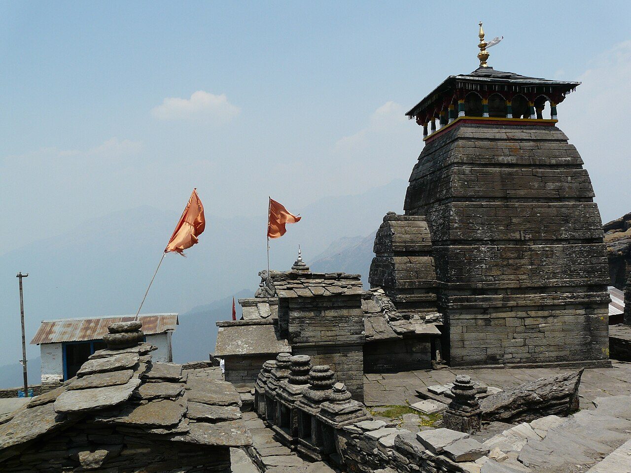
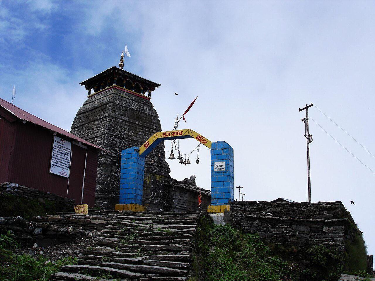
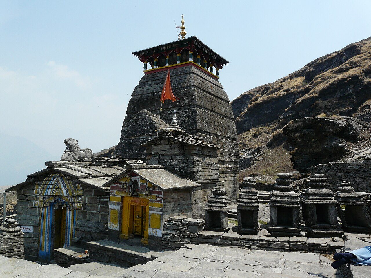
Tungnath, at about 3,680 metres, is the highest Shiva temple in the world and one of the Panch Kedar. A paved path of about 3.5 km climbs from Chopta through rhododendron forest and open meadows. The small stone temple is believed to be over a thousand years old. Chandrashila summit, a further climb of about 1.5 km, gives a panorama of Nanda Devi, Trishul and Chaukhamba.

Heavy rain: Jul

Seasons from 20 years of NASA POWER climate data.

Was this trip blog helpful?

0
0

Ready to follow this route?

Copy all 6 stops into your trip plans in the app.

Open in WaTrips
More trip blogs